


Port Washington North Beach
Port Washington
Swim
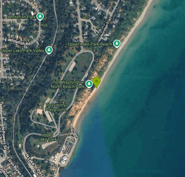
North Beach is the City of Port Washington's Lake Michigan beach on the north side of the harbor, a strip of sand at the foot of the clay bluff below Upper Lake Park. The city owns and maintains it as part of that bluff-top park, which covers close to 10 acres and holds the Possibility Playground, picnic shelters and a park road along the bluff edge. From the narrow entrance beside the city's wastewater treatment plant the sand runs north for nearly half a mile to Mile Rock, the usual turnaround point for beach walkers.
There are two ways down. An 83-step stairway drops from Upper Lake Park to the beach entrance, and it sits on a section of bluff the city has already stabilized. The other route is a level walk from Lake Street through Veterans Park and around the treatment plant. Parking is limited to the small lots in Upper Lake Park and street spaces on Lake Street, and on hot weekends both fill early. Plan on carrying everything down the stairs or around the plant, since there is no vehicle access to the sand.
The swim area is open Lake Michigan off a sand beach, with no buoys, docks or roped area. Water temperature swings with the wind, since a stretch of westerly breeze can pull cold water up to the shore even in midsummer, and late-summer readings can reach about 70 degrees. Beach width rises and falls with the lake level. In high-water years most of the sand goes underwater, and lower lake levels bring back a wide beach. No lifeguard service is described in city or news coverage, so assume you are swimming unsupervised. There is no admission fee, and the park is listed as open daily from 6 a.m. to 10 p.m.
The bluff is the main hazard. Saturated sand seams make it slump onto the beach every few years. Slides have closed the beach for as long as a year and have buried the entrance, forcing the city to move part of the park road. Barricades and closure signs go up whenever engineers judge the slope unsafe, so obey them, and stay off the base of the bluff and out from under any overhang.
Water quality is the other thing to check. Ozaukee County samples North Beach weekly from late May through early September and posts results on the Wisconsin Beach Health site. Its sampling history shows it meeting the E. coli standard less than 60 percent of the time, so look at the latest result before going in.
Up top, Upper Lake Park has restrooms, shelters, the accessible playground and views south to the breakwater light. The Ozaukee Interurban Trail passes along the park's west side, and South Beach, the city's other public beach, is a short walk across downtown past the marina.
More Information
Bluff collapse compromises park, closes beach | Ozaukee Press
Heavy rains that continued to soak the area this week have caused a large section of Port Washington’s bluff to collapse, blocking the entrance to its north beach and forcing officials to close a section of road through the city’s most popular park.
https://ozaukeepress.com/content/bluff-collapse-compromises-park-closes-beachCity moves park road, to tackle beach entrance | Ozaukee Press
The northbound road through Upper Lake Park in Port Washington, which was closed by the city after a portion of the bluff collapsed last month, was to reopen Wednesday afternoon. A city crew rebuilt less than 100 feet of the road, moving it about 10 feet farther from the edge of the bluff, this week, Public Works Director Rob Vanden Noven said. The crew paved the street on
https://ozaukeepress.com/content/city-moves-park-road-tackle-beach-entranceEDITORIAL: Don’t let Lake Park slide away | Ozaukee Press
It’s a historical oddity that large, imposing public utility buildings stand at the entrances to both of the City of Port Washington’s beaches, the wastewater treatment plant at north beach and the We Energies power plant at south beach. Residents are inured to the juxtaposition, but at first look visitors are prone to be asking rhetorically of past city officials, “What were
https://ozaukeepress.com/content/editorial-don%E2%80%99t-let-lake-park-slide-awayPHOTO OP-ED: Beach lovers’ mecca | Ozaukee Press
They’re coming from in town and out of town, multitudes of beach lovers who have discovered that Port Washington has some of Wisconsin’s finest Lake Michigan beaches. Wide expanses of sand, thanks to a lower lake level, uncommonly warm water and some hot mid-summer weather have brought crowds to Port’s two beaches named after the side of downtown where they’re located.
https://ozaukeepress.com/node/110502Port bluff protection project stymied again | Ozaukee Press
The installation of three drain lines on the bluff at Port Washington’s Upper Lake Park — a project intended to eliminate or at least reduce the potential for bluff slides like the one that left the entrance to the north beach covered in clay for the better part of two months this spring — is taking longer than expected. On Tuesday, the city’s Board of Public Works rejected
https://ozaukeepress.com/content/port-bluff-protection-project-stymied-againPort Washington landslide closes beach, city in search of solutions | FOX6 Milwaukee
Port Washington's North Beach is now closed for the summer after city officials discovered a landslide on Wednesday.
https://www.fox6now.com/news/port-washington-landslide-closes-beachPort Washington North Beach - Swim Guide
*The Beach area is closed until further notice due to a landslide in 2022.* North Beach Park is located in Port Washington and borders Lake Michigan. It is known for its beautiful view of the beach and is a great place to walk with family or friends. There is a nice park and a fun children's play area. High tide makes walking along the beach for a long time difficult, but the area is still great to play frisbee, take photos, and relax. The park is open daily from 6am to 10pm. Pets - Allowed on leash Please read and obey all posted regulations during your visit. Prior to your day at the beach, be sure to check the local Weather Forecast at: https://www.weather.gov/mkx/ and pay attention to changing weather and water conditions.
https://www.theswimguide.org/beach/772/Port Washington North Beach Park | Travel Wisconsin
North Beach Park is located in Port Washington and borders Lake Michigan. It is known for its beautiful view of the beach and is a great place to walk with family or friends. There is a nice park and a fun children's play area.
https://www.travelwisconsin.com/outdoors/on-the-water/port-washington-north-beach-parkReclaiming its beach access | Ozaukee Press
The Port Washington Street Department removed truckloads of soggy clay from the entrance to the city’s north beach late last week, but the bluff remained unstable so the north beach remained off limits over the holiday weekend. City crews removed more of the waterlogged clay Tuesday, and an inspection of the bluff was to be conducted Wednesday. If the bluff is deemed stable
https://ozaukeepress.com/content/reclaiming-its-beach-access
- Plan Ahead and Prepare
- Travel & camp on durable surfaces
- Dispose of waste properly
- Leave what you find
- Minimize campfire impacts
- Respect wildlife
- Be considerate of other visitors
Directions
From Port Washington
- Head west on Murray Ave toward N Plandome Rd (0.1 mi)
- Turn left onto N Plandome Rd (1.1 mi)
- Turn right onto Plandome Rd (1.1 mi)
- Sharp right onto Colonial Pkwy (141 ft)
- Turn left onto Locust Pl (0.1 mi)
- Turn right onto Bayview Ave (0.8 mi)
- Turn left onto E Shore Rd (0.3 mi)
- Continue onto Community Dr (1.3 mi)
- Turn right onto Horace Harding Blvd (200 ft)
- Slight left to merge onto I-495 W toward New York (2.2 mi)
- Take exit 31N-S for Cross Island Parkway toward Whitestone Brg/
Kennedy Arpt (0.2 mi) - Keep right to continue on Exit 31 North, follow signs for Cross Island Pkwy N/
Whitestone Br and merge onto Cross Island Pkwy (3.4 mi) - Take exit 33 for I-295/
Throgs Neck Br toward Bronx/ New England Toll road(0.5 mi) - Merge onto I-295 NToll road(2.6 mi)
- Keep left to stay on I-295 N, follow signs for I-95 S/
Cross Bronx ExpwyW/ Geo Washington Br (1.3 mi) - Continue onto Cross Bronx Expy (0.6 mi)
- Merge onto I-95 S (4.7 mi)
- Slight right onto Cross Bronx Expy/
Interstate 95 Lower Level S/ Trans-Manhattan Expy/ U.S. 1 Lower Level S (signs for I-95 S/ US-1 S/ George Washington Br Lower Level) (0.6 mi) - Keep left to continue on Interstate 95 Lower Level S/
U.S. 1 Lower Level S, follow signs for I-95 S/ New Jersey Entering New Jersey(1.8 mi) - Keep right to continue on I-95 (2.7 mi)
- Take exit 69 for I-80 W toward Paterson (0.7 mi)
- Continue onto I-80 W (8.3 mi)
- Continue straight to stay on I-80 W (13.2 mi)
- Keep left to stay on I-80 W, follow signs for Netcong/
Del Water Gap Toll roadEntering Pennsylvania(46.5 mi) - Keep left to stay on I-80 WToll road(254 mi)
- Slight left (2.0 mi)
- Merge onto I-80 WEntering Ohio(71.4 mi)
- Take the exit to stay on I-80 WToll road(215 mi)
- Keep left to continue on I-90 WToll roadEntering Indiana(160 mi)
- Keep left to stay on I-90 WToll roadEntering Illinois(7.8 mi)
- Take the I-94 W/
I-90 W exit on the left toward Ryan Expy Toll road(0.3 mi) - Merge onto I-90Exp W/
I-94Exp W (4.8 mi) - Merge onto I-90 W/
I-94 W (10.7 mi) - Keep right to continue on I-94 W, follow signs for Edens Expwy/
Milwaukee (13.5 mi) - Take the I-94 W exit toward MilwaukeeToll road(0.5 mi)
- Continue onto I-94 WToll road(2.7 mi)
- Keep left to stay on I-94 WToll road(21.7 mi)
- Keep left to stay on I-94 WToll roadParts of this road may be closed at certain times or daysEntering Wisconsin(36.6 mi)
- Keep left to stay on I-94 W (2.6 mi)
- Continue onto I-43 N (4.2 mi)
- Keep left to stay on I-43 N (21.3 mi)
- Take exit 93 for WI-32 N/
Port Washington toward County Hwy V S/ Grafton (0.5 mi) - Slight right onto the ramp to Port Washington (269 ft)
- Merge onto WI-32 N/
I-43ALT/ N Port Washington Rd Continue to follow WI-32 N/(3.6 mi)I-43ALT - Turn right onto W Grand Ave/
I-43ALT (0.8 mi) - Turn left onto N Franklin St/
I-43ALT (0.2 mi) - Turn right onto E Jackson St (0.2 mi)
- Turn left onto Lake St/
N Lake St Port Destination will be on the right(0.6 mi)
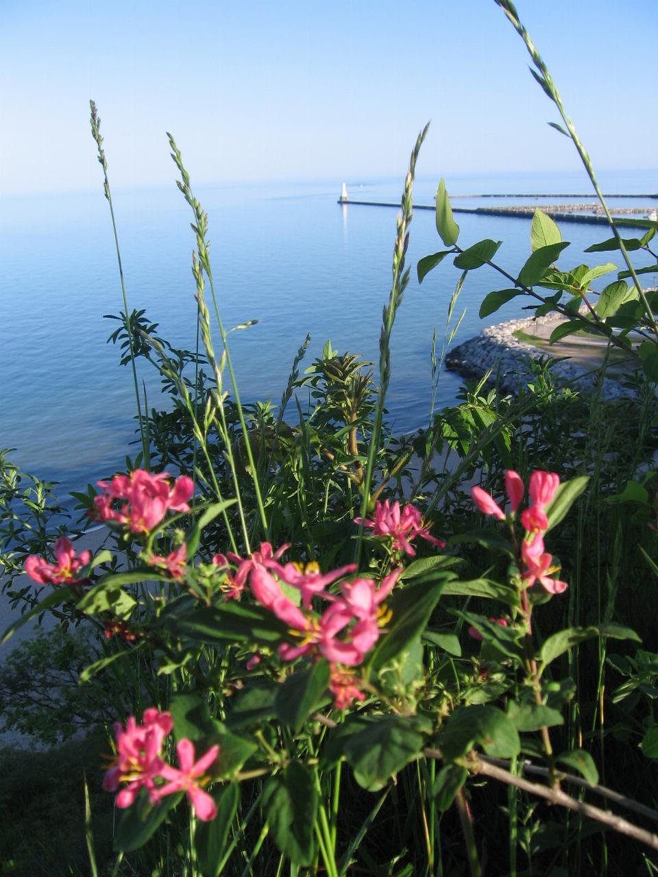
 Looking south from the Upper Lake Park bluff to the sand at the North Beach entrance, with the harbo courtesy of Runner1928↗ (CC BY-SA 4.0↗)
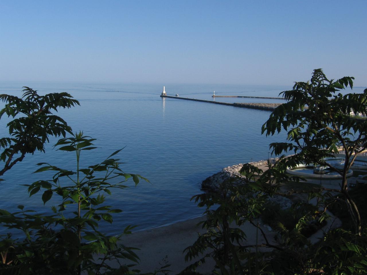
 Lake Michigan below the Upper Lake Park bluff, with the rock revetment at the beach entrance. courtesy of Runner1928↗ (CC BY-SA 4.0↗)
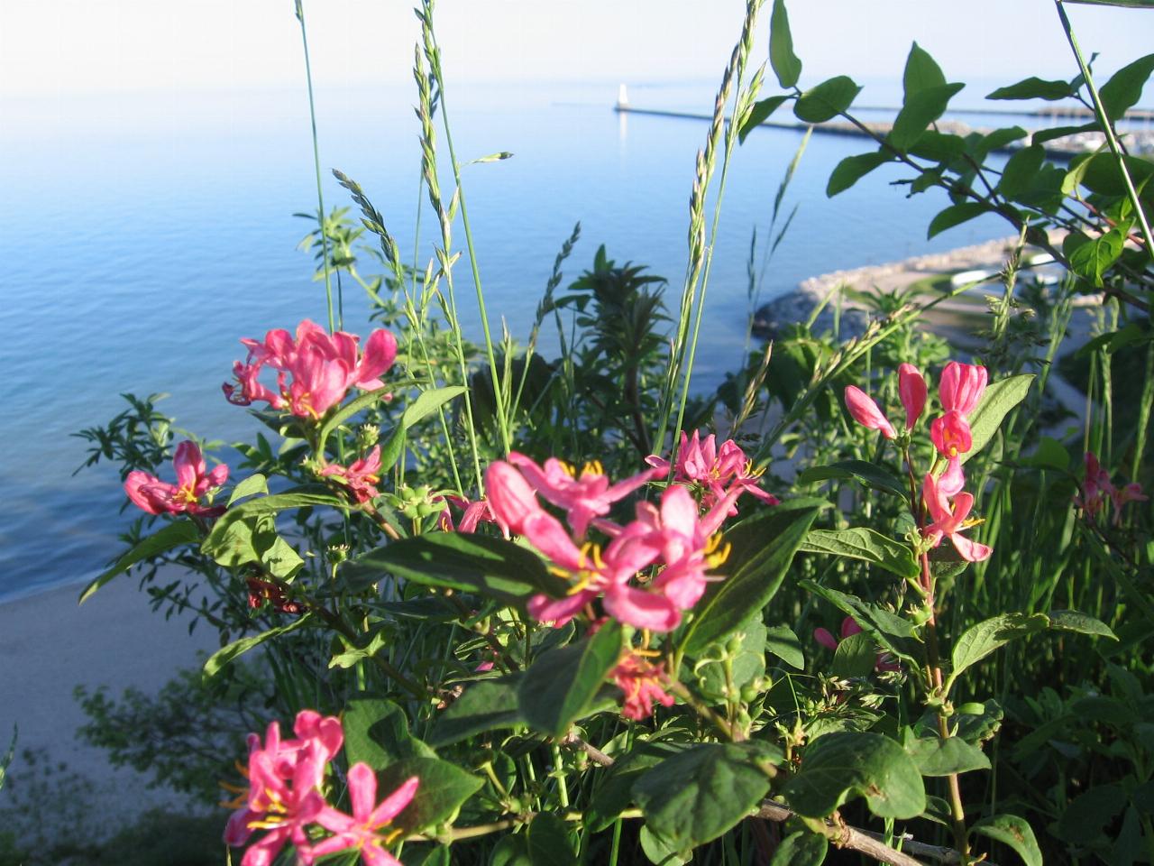
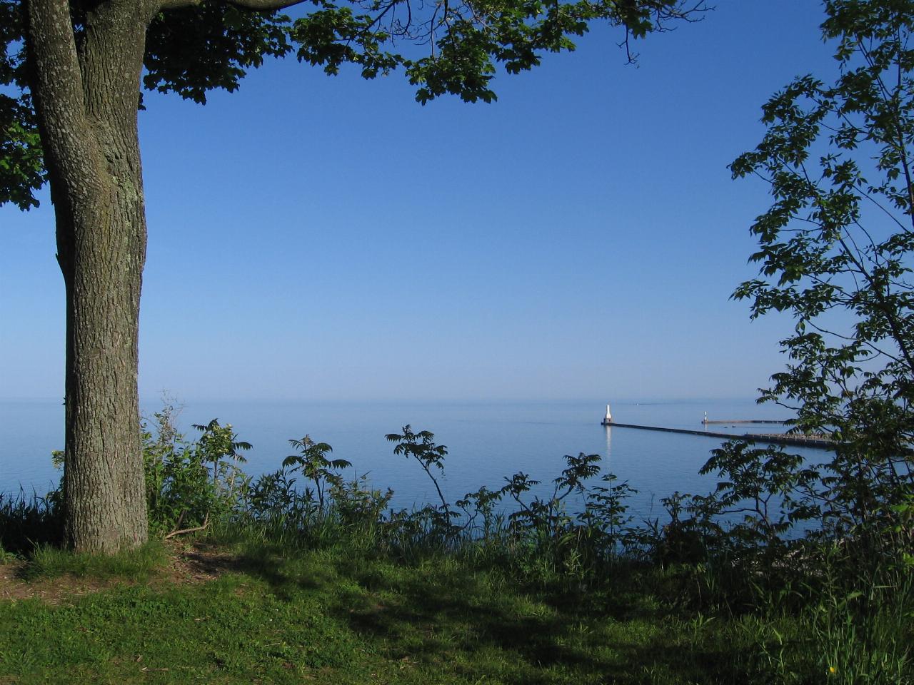
 Lake Michigan from the grassy bluff top in Upper Lake Park, directly above North Beach. courtesy of Runner1928↗ (CC BY-SA 4.0↗)
Other Swimming Holes Nearby
Port Washington South Beach
Port Washington
1.0 miles SPort Washington's city-run Lake Michigan beach south of the power plant, free and open 6 a.m. to 10 p.m. Cold open-lake water, no lifeguards found, and a tiny lot that fills fast.
Kayak, Swim
Harrington Beach State Park
Belgium
7.8 miles NEWisconsin state park with more than a mile of Lake Michigan beach near Belgium. Swimming is on the big lake only, with no lifeguard, and the 26-acre quarry lake is closed to swimming and boating.
Camp, Hike, Kayak, Swim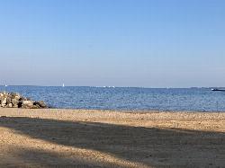
McKinley Beach
Milwaukee
23.7 miles SMcKinley Beach reopened in May 2024 after a nearly four-year closure that followed four drownings in 2020 and a $1.1 million rebuild that hauled in some 12,000 cubic yards of sand to bring the swimming area back to waist depth. It is open for swimming wit
Hike, Swim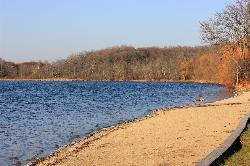
Pike Lake Beach
Hartford
23.9 miles WSand swimming beach with a buoyed, shallow swim area on Pike Lake in the Kettle Moraine State Forest's Pike Lake Unit east of Hartford. No lifeguards; a Wisconsin state park vehicle pass is required.
Camp, Canoe, Hike, Kayak, Swim
Jaycee Quarry Park
Sheboygan, Wisconsin
27.3 miles NSwim near Sheboygan, Wisconsin
Swim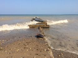
Grant Park Beach
South Milwaukee
33.7 miles SFree, unguarded Lake Michigan beach in Milwaukee County's Grant Park in South Milwaukee, with soft sand, free parking, a seasonal grill in the 1937 pavilion, and summer E. coli testing.
Hike, Kayak, Swim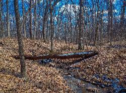
Muskego Park
Muskego
37.7 miles SWWaukesha County's Muskego Park has a roped, unguarded swim beach on a small pond, open sunrise to sunset from mid-May through late September. A $7 county daily vehicle permit or annual membership is required.
Camp, Hike, Swim
Kettle Morain South Trail Head
Dousman, Wisconsin
44.1 miles SWOver 30 miles of connected mostly single-track trails through the Southern Unit of Kettle Moraine State Forest — the John Muir and Emma Carlin systems linked by a connector trail.
Camp, Cross-country Ski, Hike, SwimNearby Campsites
Harrington Beach State Park
Belgium
7.8 miles NEWisconsin state park with more than a mile of Lake Michigan beach near Belgium. Swimming is on the big lake only, with no lifeguard, and the 26-acre quarry lake is closed to swimming and boating.
Camp, Hike, Kayak, Swim
Pike Lake Beach
Hartford
23.9 miles WSand swimming beach with a buoyed, shallow swim area on Pike Lake in the Kettle Moraine State Forest's Pike Lake Unit east of Hartford. No lifeguards; a Wisconsin state park vehicle pass is required.
Camp, Canoe, Hike, Kayak, Swim
Muskego Park
Muskego
37.7 miles SWWaukesha County's Muskego Park has a roped, unguarded swim beach on a small pond, open sunrise to sunset from mid-May through late September. A $7 county daily vehicle permit or annual membership is required.
Camp, Hike, Swim
Pinewoods Campground
Dousman, Wisconsin
44.0 miles SWA 101-site campground with flush toilets, pit toilets, showers, and a playground — no electrical hookups, but a quiet, nature-focused setting near Dousman.
Camp
Kettle Morain South Trail Head
Dousman, Wisconsin
44.1 miles SWOver 30 miles of connected mostly single-track trails through the Southern Unit of Kettle Moraine State Forest — the John Muir and Emma Carlin systems linked by a connector trail.
Camp, Cross-country Ski, Hike, Swim
Ottawa Lake Campground
Eagle, Wisconsin
48.8 miles SWA beautiful northwoods campground surrounded by National Forest on Lake Ottawa, with hiking trails, a Ge-Che Trail, nearby lakes and rivers, and a historic CCC-built picnic shelter.
Camp


