


Richland Creek Area
Morrilton, Arkansas
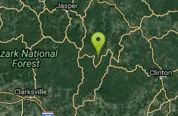
| GPS: |
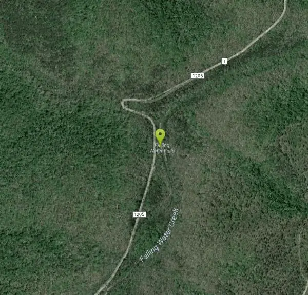
35°43'19.0"N 92°56'57.8"W Maps | Directions |
| State: | Arkansas |
Swim

- Plan Ahead and Prepare
- Travel & camp on durable surfaces
- Dispose of waste properly
- Leave what you find
- Minimize campfire impacts
- Respect wildlife
- Be considerate of other visitors
Directions
From Morrilton, Arkansas
- Head north on S Moose St toward E Church St (0.1 mi)
- Turn left onto E Broadway St (394 ft)
- Turn right at the 1st cross street onto N Division St (0.4 mi)
- Turn right onto N Oak St (1.2 mi)
- Continue onto AR-95 N (397 ft)
- Turn left to merge onto I-40 W (12.4 mi)
- Take exit 94 for AR-105 toward Atkins (0.2 mi)
- Turn right onto AR-105 N/N Church StContinue to follow AR-105 N(14.7 mi)
- Continue onto AR-27 N (4.1 mi)
- Turn left onto Nfm 1328/Old Hwy 27 (10.7 mi)
- Continue onto Old 27 Hwy Cutoff (305 ft)
- Continue straight onto Old Hwy 27 (3.1 mi)
- Turn left onto AR-16 W (1.3 mi)
- Turn right onto Upper Falling Water Rd (2.5 mi)
- Turn right to stay on Upper Falling Water RdDestination will be on the right(1.3 mi)
Other Swimming Holes Nearby
Haw Creek Falls Area
New Blaine, Arkansas
16.3 miles WSwim near New Blaine, Arkansas
Swim
Long Pool Area
Umpire, Arkansas
16.9 miles SWSwim near Umpire, Arkansas
Swim
Saint Joe Area
Warren, Arkansas
17.6 miles NSwim near Warren, Arkansas
Swim
Tyler Bend
Saint Joe, Arkansas
21.2 miles NEA campground and swimming area at Buffalo National River with stunning cliff views, 28 drive-in sites, walk-in spots, group sites, and free off-season camping.
Canoe, Hike, Kayak, Swim
Bradley Park
Jasper, Arkansas
24.0 miles NWThe Little Buffalo River flows through this wooded Jasper park, with walking paths, fishing, picnic tables, calm deep swimming water, and easy kayak and canoe access.
Swim
Jasper Area
New Blaine, Arkansas
25.7 miles NWSwim near New Blaine, Arkansas
Swim
Pruitt
Pruitt, Arkansas
25.7 miles NWSandy-beached Pruitt Landing and cliff-shaded Pruitt Bluff both offer deep-water swimming on the Buffalo River — with restrooms, picnic tables, and a playground just steps away.
Canoe, Kayak, Swim
Ponca Area
Morrilton, Arkansas
30.8 miles NWSwim near Morrilton, Arkansas
Swim
Ponca Bridge
Ponca, Arkansas
31.2 miles NWBright blue water teeming with fish, a concrete bridge jump, rocky shallows for wading, and elk sightings nearby — Ponca Bridge is an easy-access swimming hole in Arkansas.
Hike, Swim
Buffalo Point
Yellville, Arkansas
32.7 miles NESwim near Yellville, Arkansas
Swim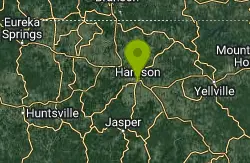
Harrison, AR, USA
Harrison, Arkansas
36.2 miles NCamp, Cave, Hike, and Swim near Harrison, Arkansas
Camp, Cave, Hike, Swim
Kings River Falls
Sheridan, Arkansas
37.5 miles WA unique waterfall dropping from a wide red rock shelf into a pool — sometimes roaring wall-to-wall, sometimes trickling — on an easy two-mile round-trip hike.
Hike, Swim
Cadron Creek
Damascus, Arkansas
40.4 miles SEA 10-mile creek with pools, rapids, kayaking routes, rock jumping, family swimming holes near a bridge and campground, and scenic rock formations and small waterfalls.
Canoe, Kayak, Swim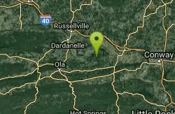
Petit Jean State Park
Morrilton, Arkansas
41.8 miles SSwim near Morrilton, Arkansas
Swim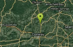
Cadron Creek Area
Yellville, Arkansas
42.4 miles SESwim near Yellville, Arkansas
Swim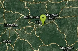
Big Spring Park
Cotter, Arkansas
43.9 miles NESwim near Cotter, Arkansas
Swim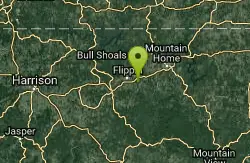
Blue Hole Wolf Den
Cotter, Arkansas
43.9 miles NEA 2-plus-mile steep hike drops into a remote Ozark hollow with low waterfalls and cool swimming holes — watch for snakes and expect shallow water in late summer.
Swim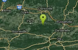
Half Bushel
New Blaine, Arkansas
44.5 miles SWSwim near New Blaine, Arkansas
Swim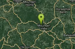
Ozark National Park
Walnut Ridge, Arkansas
46.6 miles ESwim near Walnut Ridge, Arkansas
Swim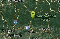
Mulberry River Area
Umpire, Arkansas
47.1 miles WSwim near Umpire, Arkansas
Swim


