


Richmond Downtown Area
Purcellville, Virginia
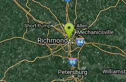
| GPS: |
37°32'9.2"N 77°26'37.0"W Maps | Directions |
| State: | Virginia |
Swim

- Plan Ahead and Prepare
- Travel & camp on durable surfaces
- Dispose of waste properly
- Leave what you find
- Minimize campfire impacts
- Respect wildlife
- Be considerate of other visitors
Directions
From Purcellville, Virginia
- Head east on E Main St toward S 20th St (472 ft)
- Turn left onto N Hatcher Ave (0.5 mi)
- Turn right onto Hirst Rd (1.2 mi)
- Turn left onto Berlin Turnpike (430 ft)
- Turn right to merge onto VA-7 E toward Leesburg (9.0 mi)
- Take the Dulles Greenway ramp to Dulles Airport/Washington (0.4 mi)
- Continue onto VA-267 E/Dulles GreenwayPartial toll road(11.8 mi)
- Keep left to continue on VA-267 EPartial toll road(12.9 mi)
- Take exit 18A for Interstate 495 NPartial toll road(0.8 mi)
- Merge onto 495 Express Lanes/Capital Beltway Outer Loop/Interstate 495 High Occupancy TollToll road(9.0 mi)
- 495 Express Lanes/Capital Beltway Outer Loop/Interstate 495 High Occupancy Toll turns slightly left and becomes I-495 S/Capital Beltway Outer Loop (1.1 mi)
- Take exit 57A toward VA-644 (1.1 mi)
- Merge onto I-395 S (0.3 mi)
- Merge onto I-95 S (90.4 mi)
- Take exit 79 for I-195 S/I-64 W toward Powhite Pkwy (0.2 mi)
- Keep left at the fork, follow signs for Interstate 195 S/Powhite Parkway/U.S. 60/U.S. 360 W (0.4 mi)
- Continue onto I-195 S (2.0 mi)
- Keep right at the fork to continue on VA-195 E, follow signs for Interstate 195 S/Downtown/City StadiumPartial toll road(2.7 mi)
- Exit onto W Byrd St toward 2nd St (0.6 mi)
- Turn right onto S 5th StDestination will be on the right(0.1 mi)
to add photos & videos and suggest edits
Edit Review
Delete Review
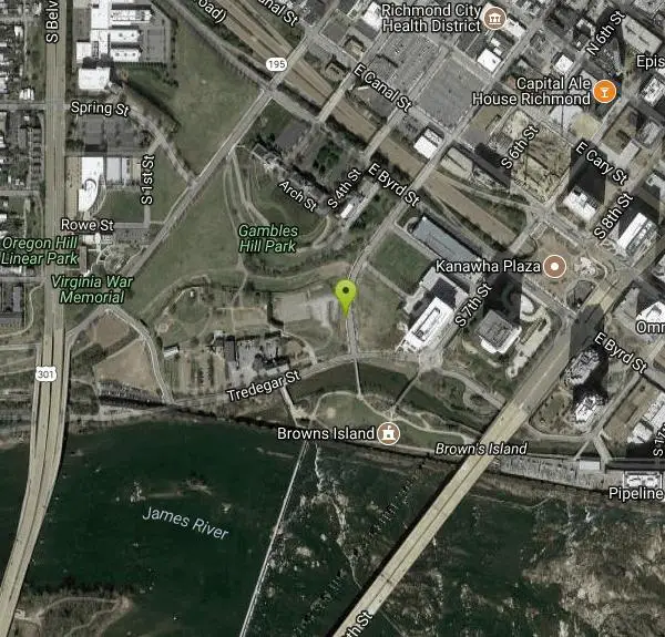
Other Swimming Holes Nearby
Add Location

Riverside Drive Area
Grottoes, Virginia
5.9 miles WSwim near Grottoes, Virginia
Swim
Bear Creek Lake State Park Beach
Cumberland, Virginia
45.4 miles WSand beach on the 40-acre lake at Bear Creek Lake State Park, tucked inside Cumberland State Forest between Richmond and Lynchburg, with camping, cabins and 30 miles of trail.
Camp, Hike, Kayak, Mountain Bike, Swim


