


Swim Beach at Lake Anna State Park
Mineral
Camp, Canoe, Hike, Kayak, and Swim
Lake Anna State Park occupies 3,127 acres on the public side of a 13,000-acre reservoir that Virginia Electric and Power created in 1972 by damming the North Anna River. The lake was built to cool the North Anna Nuclear Generating Station, and stone dikes divide it in two. The roughly 4,000-acre warm side, which takes the plant's discharge, is closed to all but shoreline property owners and plant employees. The cold side, about 9,000 acres, holds the marinas, the public ramps and this beach. None of that is visible from the sand. What you see is a broad, quiet arm of a 17-mile lake, wooded shoreline folding into coves in both directions, and private docks a half mile off across the water.
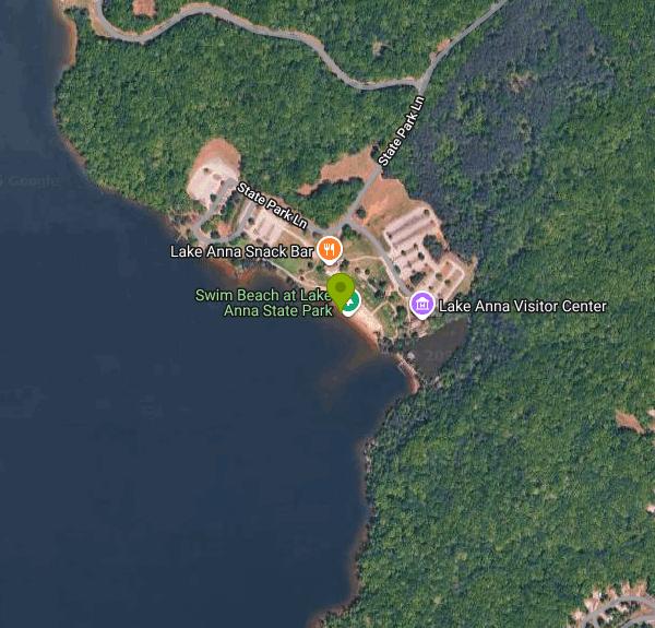
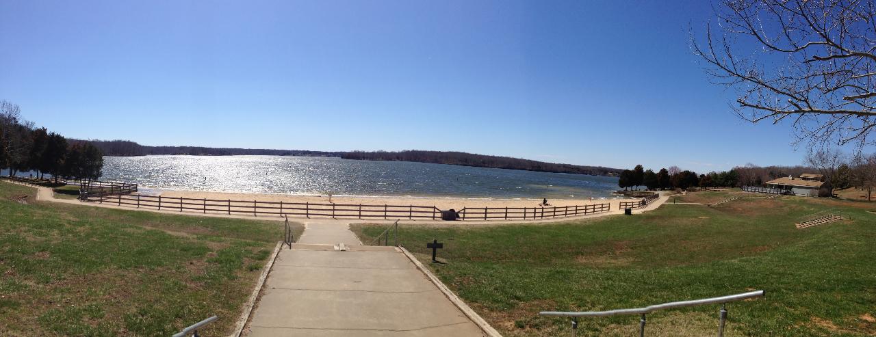
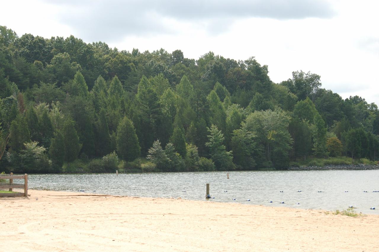
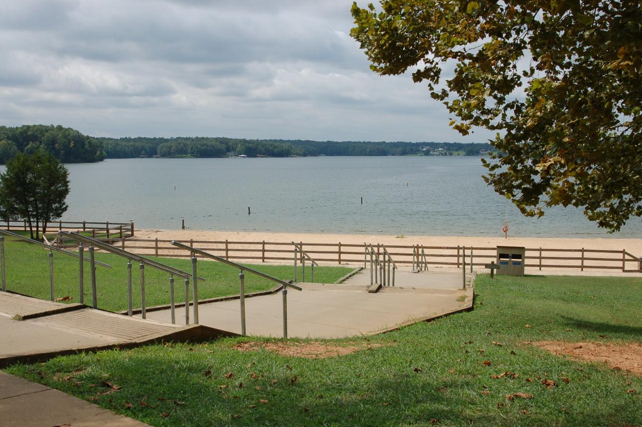
The beach is a crescent of pale sand roughly 370 feet along the waterline and 270 feet deep, laid out below a mowed grass slope at the end of the park road. A paved walkway with steel handrails runs down from the parking lot to the sand, and a split-rail fence separates grass from beach. Buoys mark a swimming area that pushes about 320 feet out, and inside it the bottom is sand and stays shallow a long way before dropping off. Old stumps and pilings break the surface just outside the marked zone, left from the farmland and river bottom that went under in 1972. A bathhouse sits at the top of the slope beside a snack bar that runs 11 a.m. to 6 p.m. from Memorial Day weekend through Labor Day.
Swimming is unguarded and at your own risk, and the park states plainly that swimming anywhere outside the marked beach area is prohibited. There is no admission gate, but daily parking is charged year-round at $7 per passenger vehicle, rising to $10 on weekends from April through October, with $3 more for a boat trailer. Virginia does publish a per-person swim fee for Lake Anna, $4 weekday and $5 weekend for ages 13 and up and $3 and $4 for ages 3 to 12, but it applies only when the beach is guarded, which the park does not currently offer.
Everything else is within walking distance of the sand. Eleven trails totaling more than 15 miles run through hardwood and pine, most of them easy; Big Woods Trail covers 1.2 moderate miles and Old Pond Trail is a paved 0.2-mile walk that takes a stroller. There is a public boat ramp, and single and tandem kayaks rent on site through the Whenever Watersports app. Anglers work the bank for largemouth bass, crappie and bream, and a two-acre pond near the visitor center is reserved for children and visitors with disabilities. Gold turned up on this ground in 1829 and mining peaked in the 1880s, so the park guides tours of the Goodwin Gold Mine and teaches panning. Overnight there are 46 campsites, ten two-bedroom cabins, six camping cabins, four yurts and two six-bedroom lodges. The entrance is at 6800 Lawyers Road, about eight miles northeast of Mineral.
More Information
Be courteous, informed, and prepared. Read trailhead guidelines, stay on the trail, and don't feed the wildlife.
Read More
- Plan Ahead and Prepare
- Travel & camp on durable surfaces
- Dispose of waste properly
- Leave what you find
- Minimize campfire impacts
- Respect wildlife
- Be considerate of other visitors
Directions
- Get directions on Google Maps
 The swim beach at Lake Anna State Park, looking down the paved walkway from the parking area. courtesy of Wikipelli↗ (CC BY-SA 4.0↗)
 Sand and waterline at the park beach, with the buoy line marking the edge of the swimming area. courtesy of Virginia State Parks staff↗ (CC BY 2.0↗)
 Handrails and paved walkway leading down to the sand from the grass slope above the beach. courtesy of Virginia State Parks staff↗ (CC BY 2.0↗)
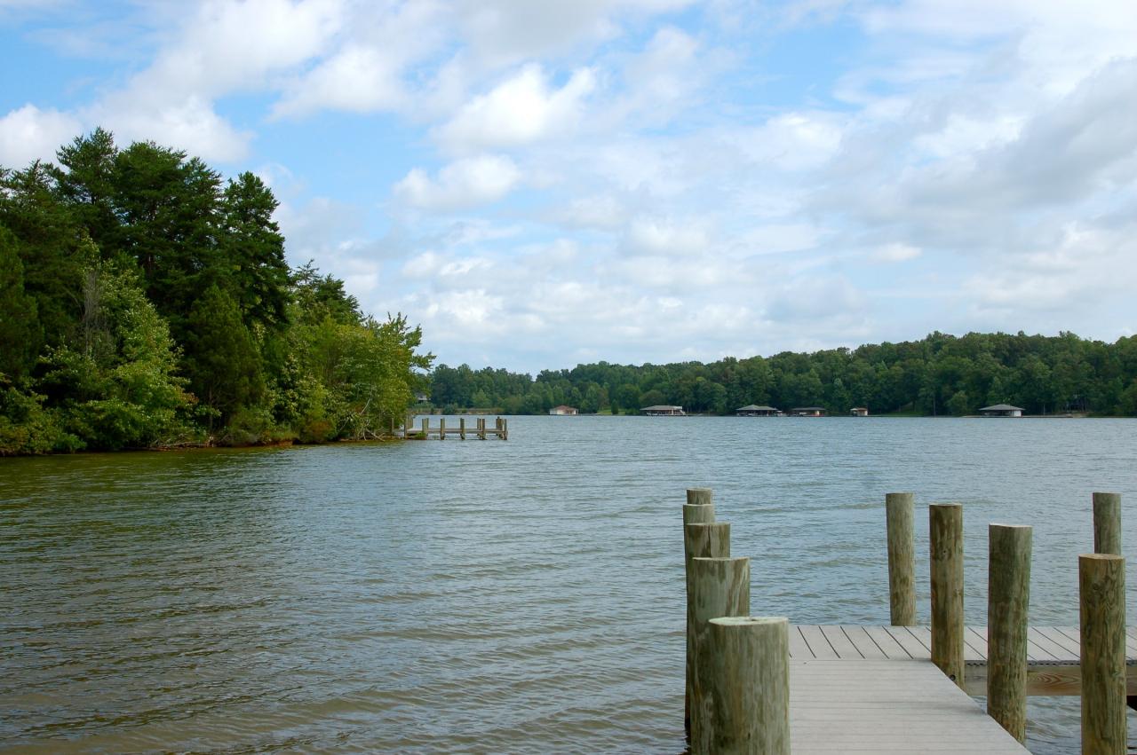
 A dock on the public side of Lake Anna, looking across to the wooded far shore. courtesy of Virginia State Parks staff↗ (CC BY 2.0↗)
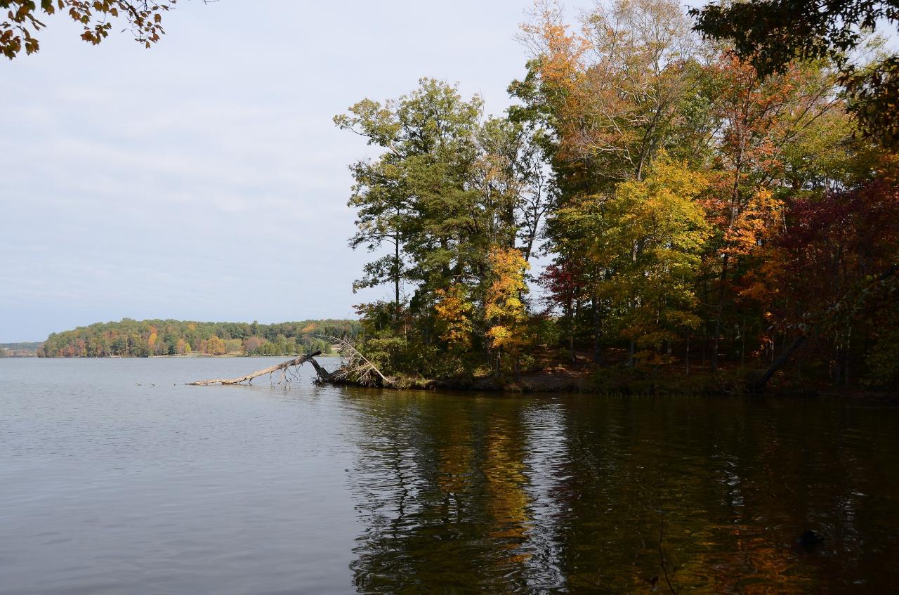
 Autumn color along the wooded Lake Anna shoreline. courtesy of Virginia State Parks staff↗ (CC BY 2.0↗)
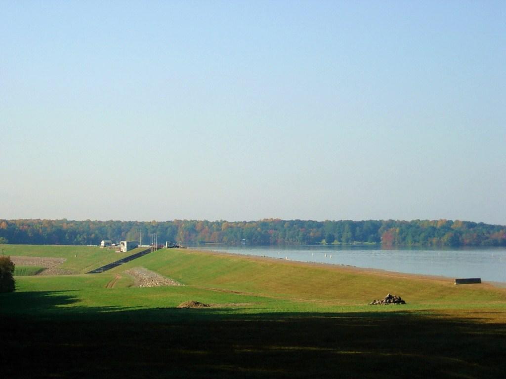
 The North Anna Dam, the earthen embankment that created Lake Anna in 1972. courtesy of NortyNort↗ (CC BY-SA 3.0↗)
Other Swimming Holes, Hiking Trails, Canoeing Areas, and Kayaking Areas Nearby
Falmouth Riverside Park
Falmouth, Virginia
24.5 miles NESwim near Falmouth, Virginia
Swim
Hazel Falls
Rixeyville, Virginia
35.1 miles NA remote cool, clear swimming hole with a dual waterfall — an upper rocky overhang shelter pool and a deeper lower pool — reached by a mile-plus hike on Hazel Mountain and White Rocks Trails.
Swim
Rapidan Rivers
Madison, Virginia
37.0 miles NWSwimming holes beneath small waterfalls along the Rapidan River in Shenandoah, accessible on short hikes — protected waters known for trout and catfish fishing.
Swim
Charlottesville Area
Williamsville, Virginia
39.4 miles WTwo swimming spots north of Charlottesville, Virginia — a fee applies, so check details before heading out.
Swim
Rose River
Syria, Virginia
40.0 miles NWA moderately difficult 4-mile forested loop in Shenandoah National Park descending to the Rose River and a stunning 67-foot waterfall — wading is possible in some spots.
Hike, Swim
Rock Mills
Castleton, Virginia
40.7 miles NWCLOSED. This property is owned by the Mt. Lebanon Baptist Church. Swimmers here without a permit will be prosecuted for trespassing. A classic all-American swimming hole with a tire and rope swing, a small sandy beach, and smaller pools for little ones — privately owned but open to the public near a historic country Baptist church.
Swim
Riverside Drive Area
Grottoes, Virginia
41.3 miles SSwim near Grottoes, Virginia
Swim
Old Rag Area
Crewe, Virginia
41.4 miles NWSix swimming holes at the base of waterfalls and along rivers in Shenandoah National Park's Old Rag area, all reached by hikes of varying length from Skyline Drive or nearby routes.
Swim 2.8 mi
Cedar Run Falls
Oldrag, Virginia
41.4 miles NWSix waterfalls, a natural waterslide, and a deep swimming hole reward experienced hikers who tackle this strenuous 8-mile, 2,794-ft-elevation Shenandoah trail.
Hike, Swim 0.3 mi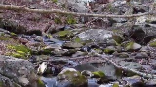
Big Rock Falls
Syria, Virginia
41.5 miles NWA moderately challenging 1.5-mile trail follows Mill Prong River to a beautiful cascading waterfall with a swimming hole that fills up nicely at higher water levels.
Hike, Swim 5.2 mi
Hazel River Falls
Sperryville, Virginia
41.5 miles NWA 5.3-mile moderate hike in Shenandoah National Park leading to two moss-covered waterfalls, a wading and swimming pool, flat sunbathing rocks, and small caves to explore.
Hike, Swim
Whiteoak Canyon
Syria, Virginia
42.4 miles NWA Shenandoah hike featuring both a two-tiered lower waterfall and a classic single-drop upper falls — with cool wading spots along the trail for a well-earned break before the 1,040-foot climb back.
Hike, Swim
Nicholson Hollow Trail
Morning Star, Virginia
44.8 miles NWAn 8-mile moderately strenuous Shenandoah hike past stream crossings, small cascading waterfalls, shaded forest, and the historic Corbin Cabin — wading is possible in low-flow conditions.
Hike, Swim
Richmond Downtown Area
Purcellville, Virginia
45.2 miles SESwim near Purcellville, Virginia
Swim
Bear Creek Lake State Park Beach
Cumberland, Virginia
46.9 miles SWSand beach on the 40-acre lake at Bear Creek Lake State Park, tucked inside Cumberland State Forest between Richmond and Lynchburg, with camping, cabins and 30 miles of trail.
Camp, Hike, Kayak, Mountain Bike, Swim
Piney River
Sperryville, Virginia
47.7 miles NWMultiple swimming holes along Piney River — including one beneath a small waterfall — reached by following Cumberland Trail through the forest near Sperryville.
Hike, Swim
Mint Springs Valley Park
Crozet, Virginia
48.9 miles WTwo small lakes with sandy beaches, miles of forested hiking and mountain biking trails, a sand volleyball pit, and a playground — all in an eight-acre valley park near Crozet, Virginia.
Hike, Mountain Bike, Swim
Lake Ridge Park
Woodbridge, Virginia
49.0 miles NEA versatile outdoor park in Woodbridge on the Occoquan Reservoir offering fishing, boating from a picturesque marina, a nine-hole golf course, mini-golf, and picnic facilities.
Canoe


