


Sardis Lake Main Beach
Hideaway Hills
Camp, Hike, Kayak, and Swim
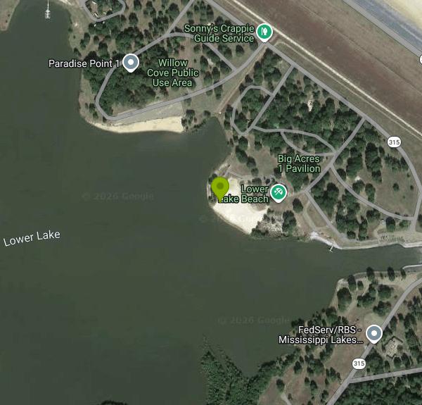
Main Beach is the U.S. Army Corps of Engineers swim area on the east side of Sardis Lower Lake, directly below Sardis Dam in Panola County, Mississippi. Maps label it Lower Lake Beach. The Lower Lake is a separate body of water of roughly 400 to 425 acres that formed in the pit left when the Corps dredged soil to build the dam by hydraulic fill in the late 1930s. The Sardis Lake Field Office of the Corps' Vicksburg District runs the beach along with the neighboring Big Acres picnic area.
Mississippi Highway 315 crosses the dam about 7 miles east of the town of Sardis and Interstate 55. The Corps directs visitors to take I-55 exit 252 (Sardis) or exit 246 (Batesville) and head to the dam. The highway splits there, with one branch over the crest and the other along the base. Main Beach sits off the lower road on the Lower Lake shoreline, with parking in the day use area next to the sand. The hamlet of Hideaway Hills is about 4 miles northwest, and Sardis has the nearest services on the interstate.
The swim area is a sand beach on calm, enclosed water with a water-borne restroom, a volleyball court and covered picnic tables beside it. Big Acres next door adds comfort stations, two group picnic shelters, single covered sites, a playground and a basketball court, and the Main Beach mini shelters can be reserved for $50 per half day or $100 for a full day. The Corps lists no lifeguards here, so swimming is at your own risk, but a life jacket loaner board stands at every Sardis swimming beach. The Corps does not publish depth or water temperature figures, so check the bottom before you dive and expect the water to warm steadily through a Mississippi summer.
Main Beach is open April 1 to September 30. It is not free. The Corps charges a day use fee of $5 per vehicle, $2 per walk-in visitor and $20 per bus, and children under 16 get in free. A $40 annual day use pass covers every Corps-operated day use area for a year. Day passes for Main Beach can be bought in advance on Recreation.gov or on site, where the pass is tied to your license plate. The Sardis Lake Field Office, (662) 563-4531, answers questions weekdays from 7 a.m. to 3:30 p.m.
The level of the Lower Lake depends on releases through the dam's outlet works, and it can fall quickly when the Corps holds water back. When the Corps has halted releases for work in the outlet channel, the Lower Lake has dropped as much as 5.5 feet and Main Beach, Cypress Point and Paradise Point have closed to swimming for the rest of the summer, so call ahead in late summer. Boats also use the Lower Lake for skiing and tubing at normal levels, so stay inside the swim area.
Paradise Point and Cypress Point are the other two Corps swim beaches on the Lower Lake. The upper lake has no designated beaches. The Lower Lake boat ramp, the Oak Grove campground (82 sites at $24 a night) and the Sardis Lake Arboretum route are all close by. The Sandstone Nature Trail (about 1.5 miles) and Sandstone Fitness Trail (2 miles) start just south of the beach, and John W. Kyle State Park sits at the north end of the dam. Anglers work the Lower Lake and the spillway for crappie, catfish and white bass.
More Information
*Sardis Reservoir | Mississippi Department of Wildlife, Fisheries, and Parks
Learn more about Sardis Reservoir.
https://www.mdwfp.com/fishing-boating/lakes/sardis-reserviorCorps Lakes Gateway: Mississippi - Sardis Lake
An official website of the United States government Here's how you know
https://corpslakes.erdc.dren.mil/visitors/projects.cfm?ID=B416370Corps Lakes Recreation Operational Status
An official website of the United States government Here's how you know
https://corpslakes.erdc.dren.mil/visitors/status.cfm?state=MSLower Lake Ramp Day Use Pass Pass in Mississippi - Recreation.gov
Buy Lower Lake Ramp Day Use Pass Activity Pass in Sardis Lake, Mississippi with Recreation.gov. Lower Lake Boat Ramp is located below the dam on the Lower lake at Sardis. Amenities include single cover picnic sites, boat ramp, courtesy boat dock/pier. This
https://www.recreation.gov/activitypass/AP2997Main Beach Day Use Pass Pass in Mississippi - Recreation.gov
Buy Main Beach Day Use Pass Activity Pass in Sardis Lake, Mississippi with Recreation.gov. Main Beach Recreation Area is located below Sardis Dam on the east side of the Lower Lake. Main Beach is a swimming area with a water-borne restroom, volleyball
https://www.recreation.gov/activitypass/AP2998Paradise Point, Sardis Lake - Recreation.gov
Explore Paradise Point in Sardis Lake, Mississippi with Recreation.gov. Welcome to Sardis Lake, we are glad you have decided to learn more about our lake and know you will have a good time once you get here. Whether you are plannin
https://www.recreation.gov/camping/campgrounds/10098555Sardis Lake - Camping, Permits | Recreation.gov
Reserve camping, permits & activities at Sardis Lake. 14 campgrounds, 14 permits. Book official reservations on Recreation.gov.
https://www.recreation.gov/gateways/154Way: Lower Lake Beach (1080828052) | OpenStreetMap
OpenStreetMap is a map of the world, created by people like you and free to use under an open license.
https://www.openstreetmap.org/way/1080828052Be courteous, informed, and prepared. Read trailhead guidelines, stay on the trail, and don't feed the wildlife.
Read More
- Plan Ahead and Prepare
- Travel & camp on durable surfaces
- Dispose of waste properly
- Leave what you find
- Minimize campfire impacts
- Respect wildlife
- Be considerate of other visitors
Directions
From Hideaway Hills
- Head east on Flathead Ln toward Taos Ln (148 ft)
- Slight right onto Taos Ln (1.7 mi)
- Taos Ln turns right and becomes Kato Ln (0.4 mi)
- Turn right onto Hah Ln (335 ft)
- Turn right onto Hide a Way Hills Rd (1.5 mi)
- Slight left to stay on Hide a Way Hills Rd (0.2 mi)
- Continue onto Hornsmill Rd SE (2.0 mi)
- Turn left to stay on Hornsmill Rd SE (2.9 mi)
- Continue onto Tarkiln Rd SE (0.1 mi)
- Turn right to merge onto US-33 W toward Columbus (27.2 mi)
- Take the exit onto I-270 S toward Cincinnati (8.5 mi)
- Take exit 55 to merge onto I-71 S toward Cincinnati (102 mi)
- Slight right to stay on I-71 SEntering Kentucky(19.5 mi)
- Slight right to stay on I-71 S (signs for Louisville) (71.5 mi)
- Take the exit on the left toward I-264 W (0.4 mi)
- Continue onto I-264 W (10.0 mi)
- Take exit 12 to merge onto I-65 S toward NashvilleEntering Tennessee(167 mi)
- Keep right to stay on I-65 S, follow signs for I-40 W/
Huntsville/ Memphis (2.0 mi) - Take exit 84B on the left for I-40 toward Memphis (0.6 mi)
- Continue onto I-40 W (1.4 mi)
- Keep right to stay on I-40 W, follow signs for Memphis (195 mi)
- Take exit 10A-10B to merge onto I-240 W toward Jackson Mississippi (14.3 mi)
- Take exit 25A toward I-55 S/
Jackson (0.3 mi) - Merge onto I-69 S (436 ft)
- Continue straight to stay on I-69 S (signs for I-55 S/
Jackson) Entering Mississippi(14.5 mi) - Continue onto I-55 S (30.4 mi)
- Take exit 252 for MS-315 toward Sardis (0.2 mi)
- Turn left onto MS-315 S/
E Lee St Continue to follow MS-315 S(6.4 mi) - Continue straight to stay on MS-315 S (1.5 mi)
- Turn right (0.2 mi)
- Continue straightDestination will be on the right(0.1 mi)
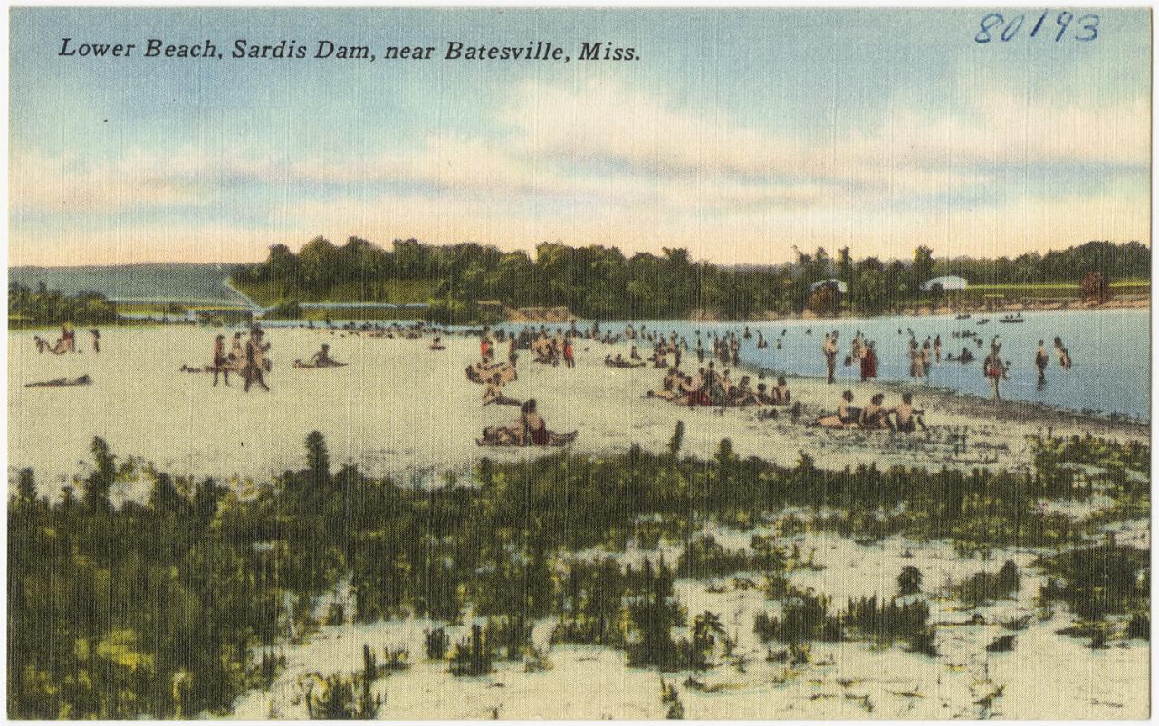
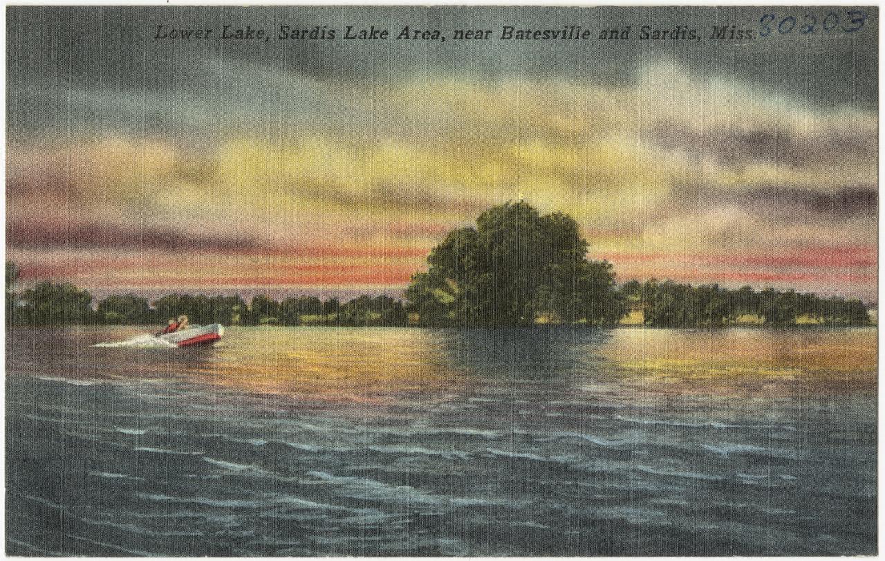
 Vintage Tichnor Bros. postcard of the lower beach on Sardis Lower Lake below the dam. courtesy of Boston Public Library↗ (Public domain↗)
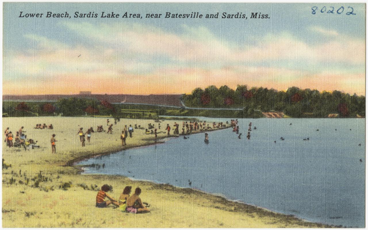
 A second mid-century postcard view of the lower beach in the Sardis Lake area. courtesy of Boston Public Library↗ (CC BY 2.0↗)
 Postcard view across Sardis Lower Lake, the water Main Beach fronts. courtesy of Boston Public Library↗ (Public domain↗)
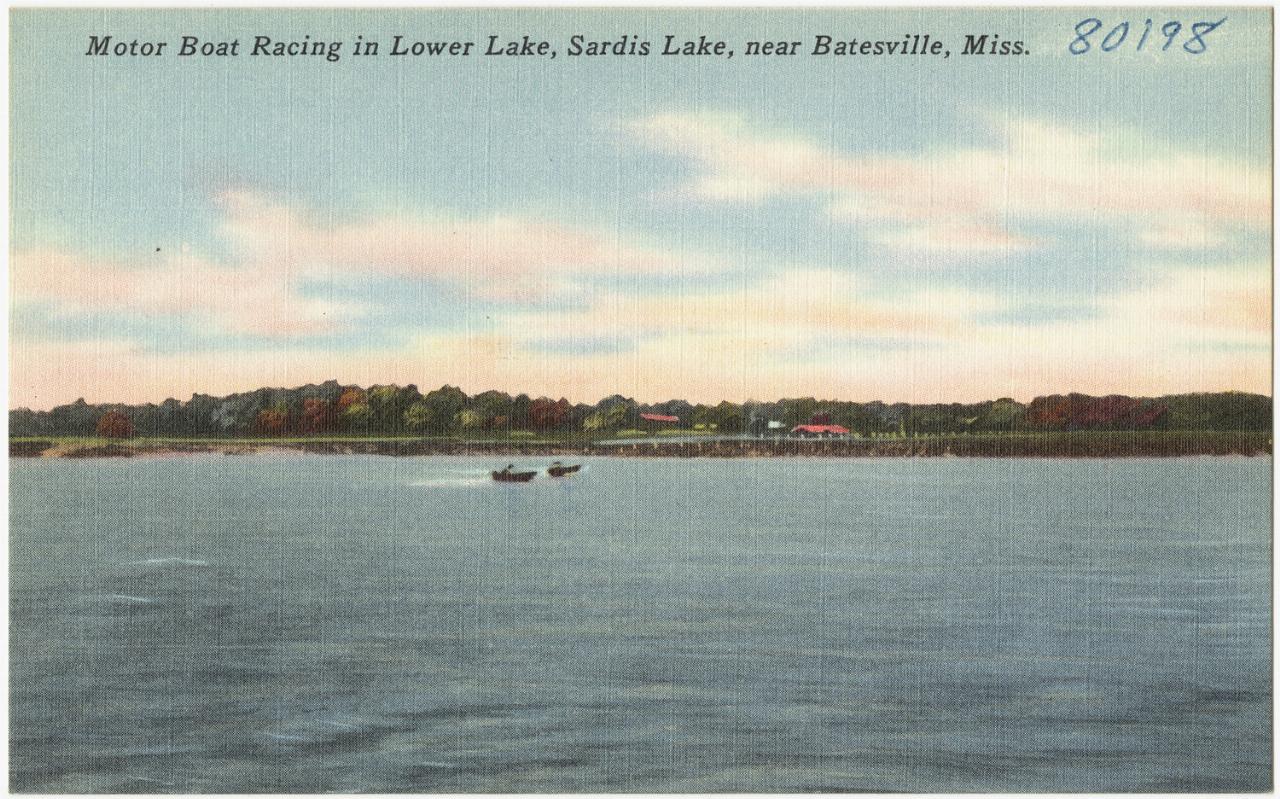
 Motor boat racing on Sardis Lower Lake in an old postcard, a reminder that boats share this water. courtesy of Boston Public Library↗ (Public domain↗)
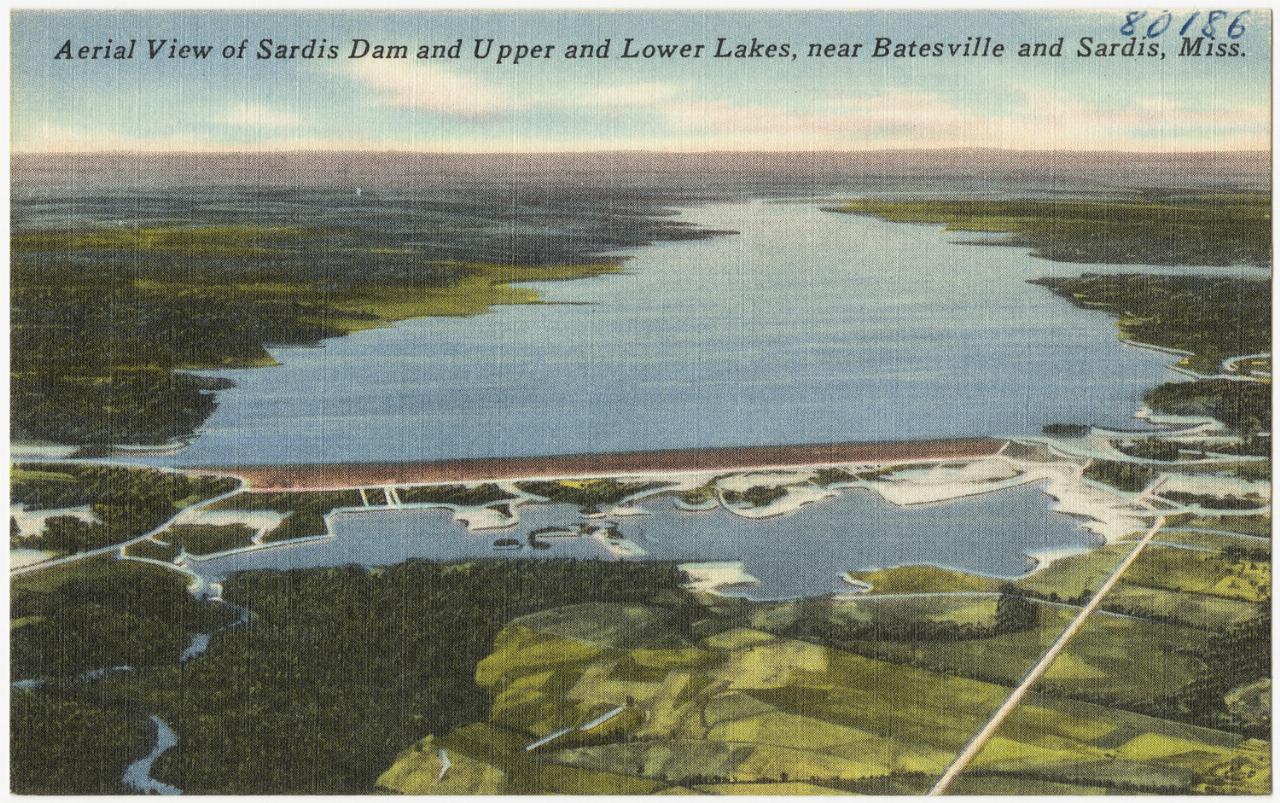
 Aerial postcard of Sardis Dam with the upper lake behind it and the Lower Lake below. courtesy of Boston Public Library↗ (Public domain↗)
Other Swimming Holes, Hiking Trails, and Kayaking Areas Nearby
Wallace Creek Campground
Pope
17.1 miles SWallace Creek is a Corps of Engineers campground and boat ramp on the south shore of Enid Lake in Yalobusha County, Mississippi. There is no designated swim beach here, so people swim off the unmarked shoreline beside the ramp for the $5.00 per vehicle fe
Camp, Canoe, Hike, Kayak, Swim
Persimmon Hill Recreation Area
Enid
19.2 miles SCorps of Engineers swim beach at the south end of Enid Dam on Enid Lake, with a buoyed swim area, picnic shelters and a campground. $5 per vehicle, open April 1 to September 30.
Camp, Hike, SwimNearby Campsites
Wallace Creek Campground
Pope
17.1 miles SWallace Creek is a Corps of Engineers campground and boat ramp on the south shore of Enid Lake in Yalobusha County, Mississippi. There is no designated swim beach here, so people swim off the unmarked shoreline beside the ramp for the $5.00 per vehicle fe
Camp, Canoe, Hike, Kayak, Swim
Persimmon Hill Recreation Area
Enid
19.2 miles SCorps of Engineers swim beach at the south end of Enid Dam on Enid Lake, with a buoyed swim area, picnic shelters and a campground. $5 per vehicle, open April 1 to September 30.
Camp, Hike, Swim


