


Scarlett Canyon
Phoenix, Arizona
| Address: | ~2001-2027 E Rose Garden Ln, Phoenix, AZ 85024, USA |
| GPS: |
33°40'35.9"N 112°2'18.2"W Maps | Directions |
| State: | Arizona |
| Trail Length: | 3.00 miles |
| Trail Type: | Loop |
| Hike Difficulty: | Beginner |
| Elevation Gain: | 715 feet |
Pet Friendly
Hike, Horseback, Mountain Bike, and Rock Climb
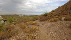
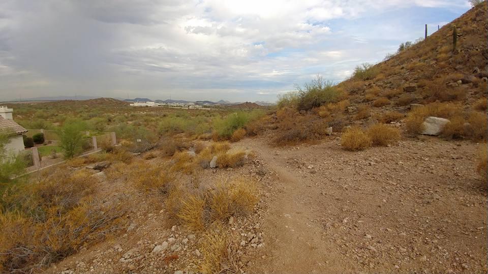
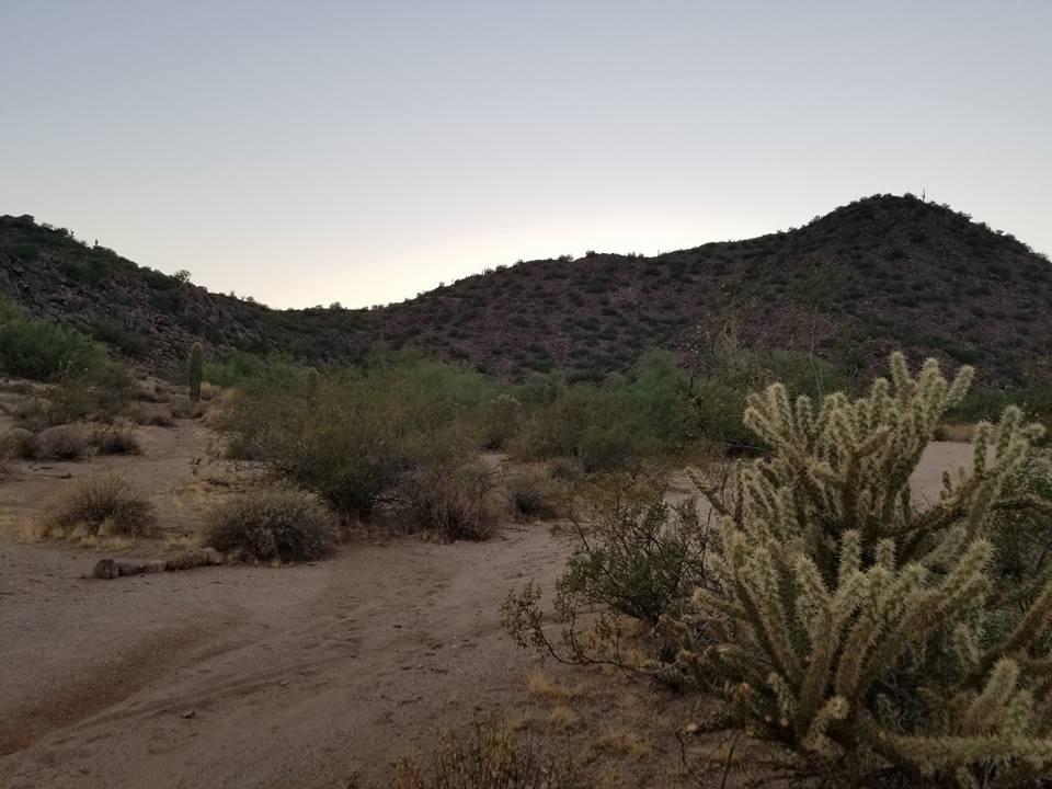
Scarlett Canyon trail (not officially named) is an unmarked trail adjacent to the Scarlett Canyon residential neighborhood. This is a 3 mile loop trail considered to be easy to moderate.
There is no official trail, so it's up to you how much you want to hike and explore. The easiest route is going around the base of the mountain. To make the trip more difficult, you can scale or summit the mountain which requires going up and down rocky, loose gravel, so be sure to wear adequate footwear. Dogs are allowed on the trail, however, because this area isn't maintained by any organization, other visitors have reported broken glass on the trail.
As you go around the mountain, you get very different views depending where you are. On the north side of the mountain you will run into an old mine that is fenced off. This to believed to be the Union Mine; this side of the mountain is quiet and isolated. Once you get to the west side, you can see the residential neighborhood, that takes you back to a suburban atmosphere.
More Information
Add ResourceNever modify trail features. Ride trails when they're dry enough that you won't leave ruts. Speak up when you see others on the trail and always yield to hikers, horses, and others coming uphill. Always ride on the established trail.
Read MoreBe courteous, informed, and prepared. Read trailhead guidelines, stay on the trail, and don't feed the wildlife.
Read More
- Plan Ahead and Prepare
- Travel & camp on durable surfaces
- Dispose of waste properly
- Leave what you find
- Minimize campfire impacts
- Respect wildlife
- Be considerate of other visitors
Directions
From Phoenix, Arizona
- Head west on W Washington St toward 1st Ave (0.5 mi)
- Turn right onto N 7th Ave (0.2 mi)
- Continue straight to stay on N 7th Ave (0.6 mi)
- Turn right to merge onto I-10 E toward Tucson (2.3 mi)
- Take exit 147A-147B for AZ-51 N (0.6 mi)
- Continue onto AZ-51 N (14.9 mi)
- Take exit 15B on the left for AZ-101 Loop W (0.3 mi)
- Keep left, follow signs for Arizona Loop 101 and merge onto AZ-101 Loop W (1.4 mi)
- Take exit 28 for Cave Creek Rd (0.4 mi)
- Turn right onto N Cave Creek Rd (0.3 mi)
- Turn left onto E Rose Garden LnDestination will be on the left(0.4 mi)
Other Rock Climbing Walls, Mountain Bike Trails, Hiking Trails, and Horseback Trails Nearby
Reach 11 Trail
Phoenix, Arizona
0.8 miles NEHike near Phoenix, Arizona
Hike 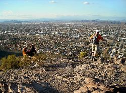
Lookout Mountain Summit Trail
Phoenix, Arizona
3.5 miles SA steep 1-mile summit trail in the middle of Phoenix with stunning 360-degree city, mountain, and desert views — rocky and loose near the top, so bring good shoes.
Hike 
Lookout Mountain Circumference Trail
Phoenix, Arizona
3.5 miles SHike near Phoenix, Arizona
Hike 
Shadow Mountain Trail
Phoenix, Arizona
4.1 miles SA wildlife trail in the Sonoran Desert starting at 23rd Place and Sweetwater Road — a great spot for desert nature watching in northwest Phoenix.
Hike 
Hawk's Nest Trail and Dixie Mountain Loop
Phoenix, Arizona
5.6 miles NWA moderate connector trail in Phoenix's Sonoran Preserve that links the trailhead to Desert Tortoise Trail and Dixie Mountain Loop — good hiking boots recommended.
Hike, Horseback, Mountain Bike 
Hawk's Nest/Desert Tortoise/Dixie Mountain Loop
Phoenix, Arizona
5.6 miles NWA moderate desert loop through creeks and hills with great scenery in Phoenix's Sonoran Preserve — connects Hawk's Nest, Valle Verde, and Dixie Mountain trails.
Hike, Horseback, Mountain Bike 
Sonoran Trail
Phoenix, Arizona
5.6 miles NWA smooth, hilly 10–12 mile loop trail in Phoenix with well-marked intersections — suitable for a range of riders, though beginners should pace themselves.
Mountain Bike 
Dixie Mountain Loop with Two Summits
Phoenix, Arizona
5.6 miles NWHike, Horseback, and Mountain Bike near Phoenix, Arizona
Hike, Horseback, Mountain Bike 
Western Vista Trail
Phoenix, Arizona
5.6 miles NWA short but fairly difficult trail to one of the Dixie Mountain Loop summits, rewarding the climb with great views and a bird's-eye look at the gravel pit below.
Hike 
Dixie Summit Trail
Phoenix, Arizona
5.6 miles NWA steep, switchback-heavy summit push in Phoenix's Sonoran Preserve rewarded by spectacular panoramic views at the top.
Hike 2.8 mi
Desert Tortoise
Phoenix, Arizona
5.6 miles NWA doubletrack desert connector and loop trail with reasonable elevation changes and close-proximity Cholla cactus lining the path — good hiking shoes and a leashed dog are a must.
Hike, Mountain Bike 
Dixie Mountain Loop Trail
Phoenix, Arizona
5.6 miles NWA 4.7-mile beginner-to-moderate loop through the Phoenix Sonoran Preserve with great views of Dove Valley, wildflowers, cactus, and the Teddy Bear Cholla Forest between mile posts 2.6 and 2.75.
Hike, Horseback, Mountain Bike 
Union Peak Loop
Phoenix, Arizona
5.6 miles NWHike near Phoenix, Arizona
Hike 
Shaw Butte and Charles M Christiansen Loop Trail
Phoenix, Arizona
5.7 miles SA popular but lesser-known Phoenix trail climbing past radio towers and an old burned restaurant ruin, with city views from the top and an easy flat return on the backside.
Hike, Mountain Bike 
Apache Wash Trail
Phoenix, Arizona
6.1 miles NA moderate desert loop trail at Apache Wash in Phoenix with hilly terrain on the way out and deceivingly challenging flat terrain on the return.
Hike 
Apache Wash Sidewinder Loop Trail
Phoenix, Arizona
6.1 miles NHorseback and Mountain Bike near Phoenix, Arizona
Horseback, Mountain Bike 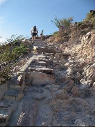
North Mountain National Trail
Phoenix, Arizona
6.3 miles SA 2.3-mile moderate loop with steep inclines, beautiful surrounding views, and two route options — it can get crowded at the parking lot but the panoramic Phoenix views are worth it.
Hike 
Sidewinder, Apache Vista, Ocotillo Loop Trail
Phoenix, Arizona
6.3 miles NA well-maintained, well-signed desert loop with near-perfect views in the Sonoran Preserve — include the summit for a 2.5-mile moderate workout.
Hike, Horseback, Mountain Bike 
Ocotillo/Ridgeback/Sidewinder Loop Trail
Phoenix, Arizona
6.4 miles NA great moderate loop through classic Sonoran Desert scenery with a summit option, gorgeous views, and multiple access points — bring at least 2 liters of water.
Hike, Horseback, Mountain Bike 
Maxine Lakin Nature Trail
Phoenix, Arizona
7.2 miles SHike near Phoenix, Arizona
HikeNearby Campsites

Lower Salt River Nature Trail
Fort McDowell, Arizona
23.6 miles SEA 2-mile beginner loop alongside the Salt River in Tonto National Forest, with worn markers that keep things adventurous — watch for wild horses and spring cactus blooms.
Camp, Hike 
Buckhorn Campground Nature Trail
Apache Junction, Arizona
27.9 miles SECamp and Hike near Apache Junction, Arizona
Camp, Hike


