


Smith River Falls
Reedsport
Camp, Kayak, and Swim
Smith River Falls Recreation Site is a small Bureau of Land Management campground and day-use area on the Smith River in the Oregon Coast Range, managed by the BLM Coos Bay District. It sits on a bend of the river in western Douglas County, just upstream of Smith River Falls, where the river breaks over wide shelves of sandstone in several channels. The Smith rises north of Drain and winds about 50 miles west through steep, timbered hills before joining the Umpqua across from Reedsport. Big conifers shade the campsites right down to the bank.
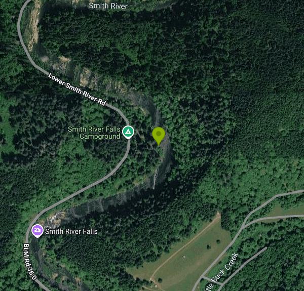
From Reedsport, drive a short way north on US 101 and turn east onto Smith River Road. The site is 26.4 miles up that road, a paved county route that winds along the river the whole way, so plan on a slow drive. Parking is at the campsites and along the short paved loop. The river is a few steps from the sites, and the falls are a short walk downstream along the bank.
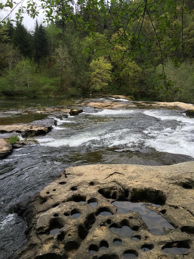
The BLM describes the site as a place to picnic, wade and fish, and it lists swimming among the activities. The bank by the campground has gravel shallows and flat sandstone ledges pocked with water-filled potholes, and in summer, when the river runs low and clear, the ledges around the falls turn into a place to sit in the sun and slip into the pools between the drops. There is no marked swim area and no lifeguard. The water comes off the Coast Range and stays cold into early summer, so late summer, when flows are lowest, is the easiest time to swim.
There are no fees, for camping or for day use. The site is open from Memorial Day to September 30. It has 10 first-come, first-served campsites with picnic tables and fire rings, a 14-day stay limit, universal access restrooms and a boat launch. There is no drinking water, so bring all you need. Questions go to the Coos Bay District Office at 541-756-0100.
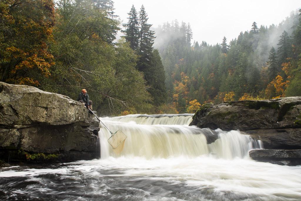
The falls themselves are the main hazard. American Whitewater rates Smith River Falls as a Class V drop, and the main channel holds a sticky hydraulic at the bottom, so stay well away from the lip and out of the churning water below the main drop. The sandstone is slick when wet and full of holes that can catch an ankle. Winter and spring rain can raise the river quickly, and the whole falls area is no place to swim at high water. A concrete fish ladder runs along the falls on river right. Salmon climb the falls in autumn and Oregon Department of Fish and Wildlife crews survey fish here, so keep clear of the ladder. People do jump from the rocks, but pool depths shift from year to year, so check the depth every time before you go in.
Bald eagles hunt along this part of the river, and in October coho can be seen jumping at the falls. This part of the river is also a roadside whitewater run for experienced paddlers, with ledges and surf waves, and many boaters portage the falls. About four miles further up Smith River Road, the BLM's Vincent Creek Campground has five more free sites and a small swimming hole under tall Douglas-firs.
More Information

- Plan Ahead and Prepare
- Travel & camp on durable surfaces
- Dispose of waste properly
- Leave what you find
- Minimize campfire impacts
- Respect wildlife
- Be considerate of other visitors
Directions
From Reedsport
- Head north on N 4th St toward Fir Ave (30 ft)
- Turn left onto Fir Ave/
Umpqua Ave Continue to follow Umpqua Ave(0.4 mi) - Turn right onto US-101 N (0.8 mi)
- Turn right onto Lower Smith River Rd (15.1 mi)
- Continue straight onto BLM Rd 36 0/
Lower Smith River Rd (2.6 mi) - Slight left to stay on BLM Rd 36 0/
Lower Smith River Rd (2.3 mi) - Slight right to stay on BLM Rd 36 0/
Lower Smith River Rd Destination will be on the right(6.1 mi)
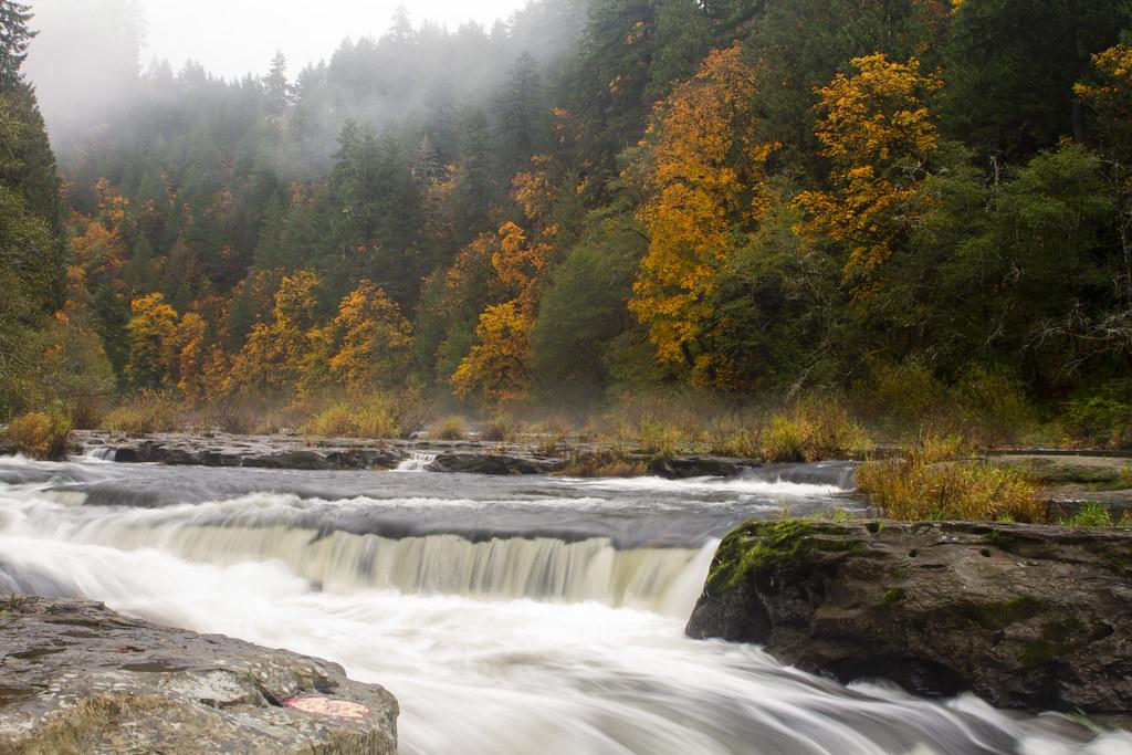
 Smith River Falls pouring over a sandstone shelf below fog and fall color. courtesy of BLM Oregon & Washington↗ (CC BY 2.0↗)
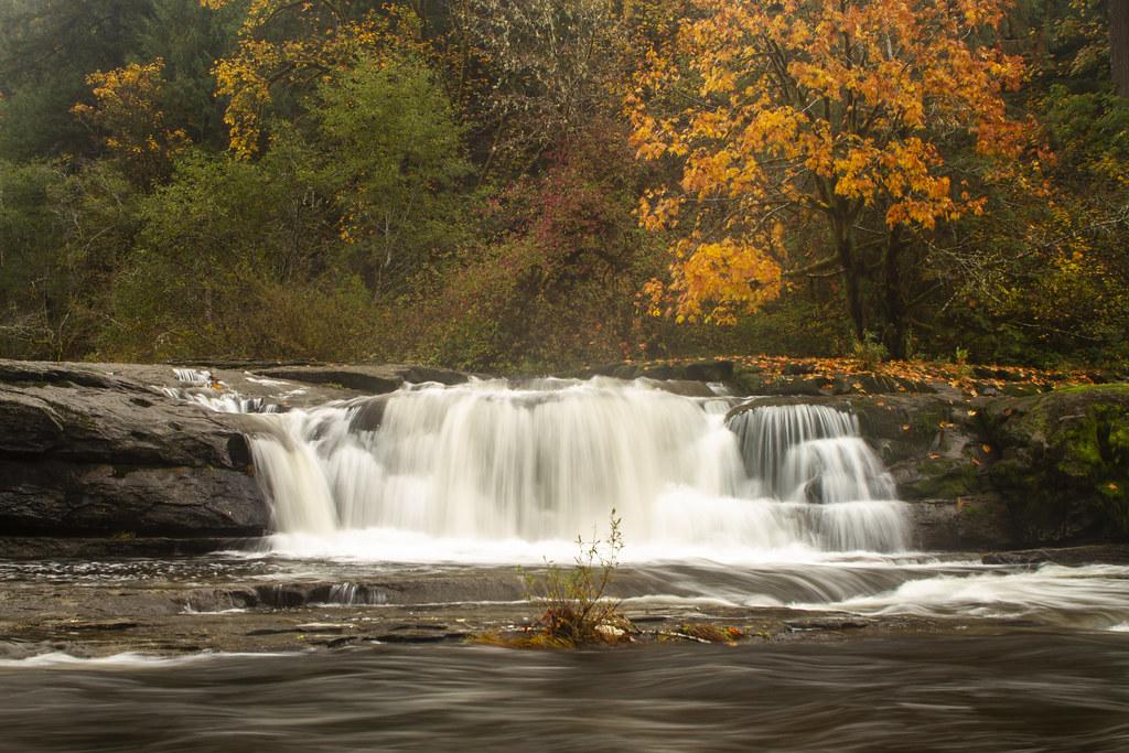
 A side cascade of Smith River Falls dropping into the pool below a maple in autumn. courtesy of BLM Oregon & Washington↗ (CC BY 2.0↗)
 Sandstone ledges with water-filled potholes along the Smith River near the campground. courtesy of BLM Oregon & Washington↗ (CC BY 2.0↗)
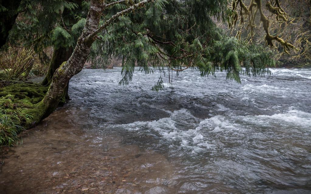
 The Smith River running past the bank at the campground under a leaning cedar. courtesy of BLM Oregon & Washington↗ (CC BY 2.0↗)
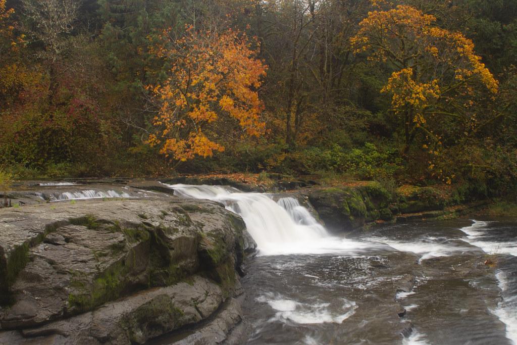
 A chute at Smith River Falls with mossy sandstone in the foreground. courtesy of BLM Oregon & Washington↗ (CC BY 2.0↗)
 An ODFW worker nets salmon at the main drop of Smith River Falls. courtesy of BLM Oregon & Washington↗ (CC BY 2.0↗)
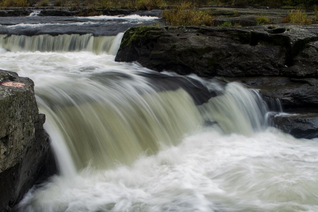
 Close view of whitewater pouring over the main drop of Smith River Falls. courtesy of BLM Oregon & Washington↗ (CC BY 2.0↗)
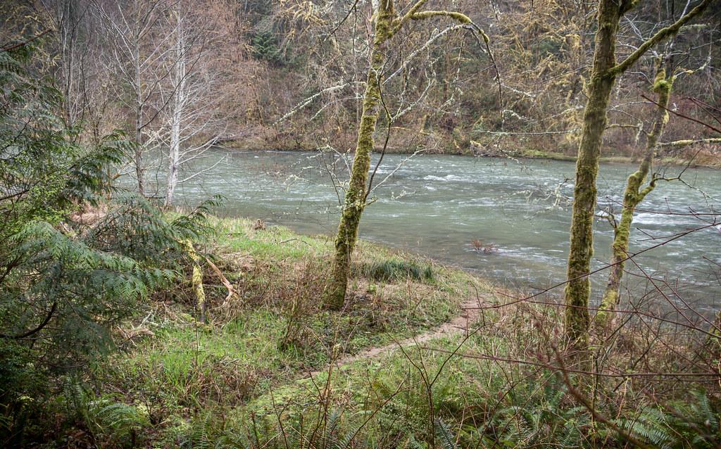
 A path through the trees to the Smith River at the recreation site. courtesy of BLM Oregon & Washington↗ (CC BY 2.0↗)
Other Swimming Holes and Kayaking Areas Nearby
Loon Lake Recreation Site
Reedsport
13.6 miles SA landslide-dammed lake in the Oregon Coast Range with one of the region's few genuine sand beaches, run by the BLM about 20 miles east of Reedsport. Day use is $5 per vehicle and includes a buoyed swim area, a boat ramp and a quarter-mile trail to a wate
Camp, Canoe, Hike, Kayak, Swim
Lake Creek Falls
Blachly
27.9 miles NEA three-tier bedrock cascade on Lake Creek half a mile below Triangle Lake, where BLM's free day use area draws summer swimmers to a natural rock slide and plunge pool. No lifeguard, no fee, and a real record of falls off the slick rock.
Hike, Swim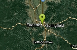
Alton Baker Park Canoe Canal & 24/7 Wave
Eugene, Oregon
40.9 miles NEA year-round playspot on the Canoe Canal in Alton Baker Park where beginner playboaters can practice cartwheels and loops — accessible, free, and at its best during summer flows.
Canoe, Kayak


