


Loon Lake Recreation Site
Reedsport
Camp, Canoe, Hike, Kayak, and Swim
Loon Lake sits in a fold of the Oregon Coast Range about 20 miles east-southeast of Reedsport, and it exists because a hillside gave way. Roughly 1,400 years ago a slab of sandstone broke loose and slid into the Lake Creek valley, piling up blocks and boulders deep enough to plug the drainage. The water backed up behind the rubble and never left. What you swim in is a natural landslide dam still doing its job: a lake two miles long, about four-tenths of a mile across at its widest, and close to 190 feet deep in the middle. Lake Creek feeds it, and Mill Creek drains it north toward the Umpqua River and the Pacific.
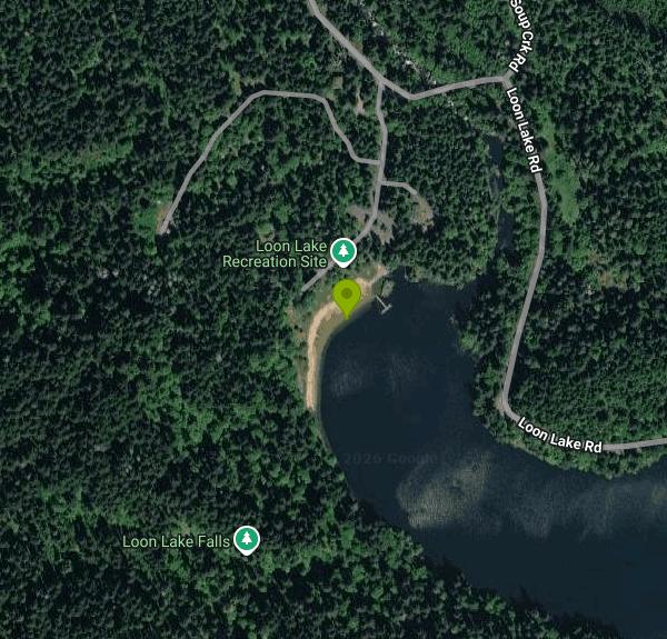
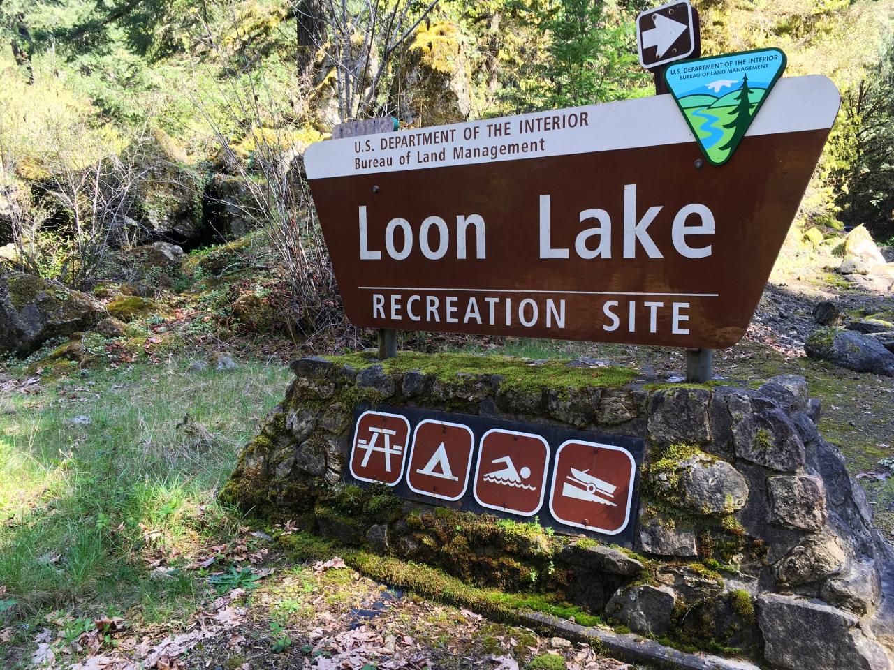
The Bureau of Land Management's Coos Bay District runs the day use area at the lake's northwest corner, down by the outlet. This is the public side of Loon Lake, and it is not the same place as the privately run lodge and RV park about two miles along the road on the east shore. The BLM entrance is marked by a brown sign set among boulders on Loon Lake Road, with a staffed booth and a self-service fee station just inside. Day use costs $5 per vehicle, or $3 if you walk in, plus $3 to launch a boat, and runs 8 a.m. to 8 p.m. The season is Memorial Day weekend through September 30.
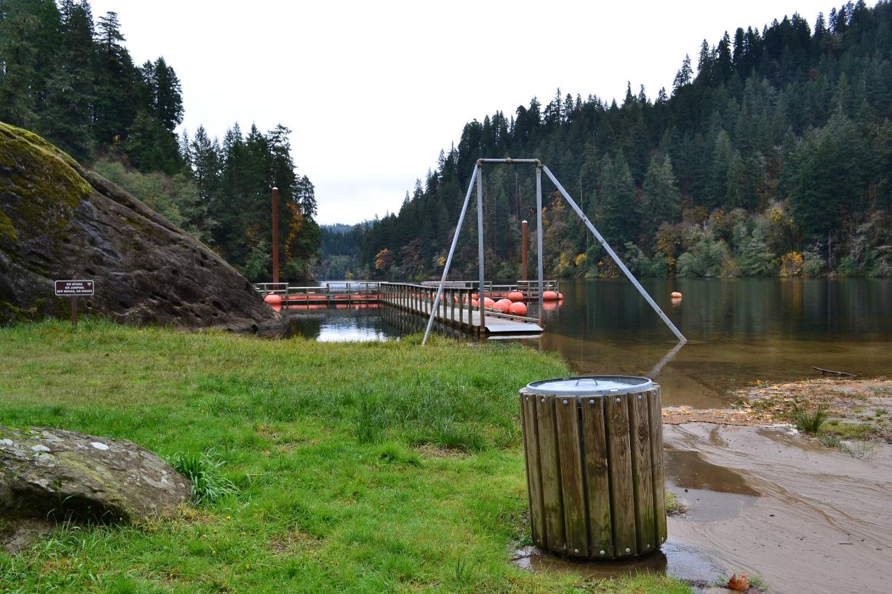
The beach is the reason to come. It is a real stretch of sand, uncommon in this part of the Coast Range, and the water off it warms up well by midsummer. A buoy line marks the designated swimming area, which keeps boat traffic out and gives kids an obvious boundary. Dogs and glass containers are not allowed on the swim beach, though there is a separate dog day-use stretch close by. Picnic tables and grills sit back in the shade of Douglas-fir, bigleaf maple and red alder, and an accessible fishing dock, a boat ramp, horseshoe pits, a playground and a small amphitheater are spread along the shoreline.
When you have had enough of the water, a quarter-mile trail leaves the south end of the day use area and climbs through old growth to a waterfall on Elliott State Forest land. Ospreys work the lake most summer afternoons, and Steller's jays are everywhere in the campground, which has 53 reservable sites behind the beach. Two things are worth knowing before you drive in. There is no cell service anywhere at the lake, and the site was closed from 2019 until a snowstorm rebuild was finished, so older write-ups may describe facilities that are gone. The way in is 13 miles east on OR-38 from Reedsport, then 7 miles south on Loon Lake Road.
More Information
Be courteous, informed, and prepared. Read trailhead guidelines, stay on the trail, and don't feed the wildlife.
Read More
- Plan Ahead and Prepare
- Travel & camp on durable surfaces
- Dispose of waste properly
- Leave what you find
- Minimize campfire impacts
- Respect wildlife
- Be considerate of other visitors
Directions
From Reedsport
- Head north on N 4th St toward Fir Ave (30 ft)
- Turn right onto OR-38 E/
Fir Ave Continue to follow OR-38 E(12.7 mi) - Turn right onto Loon Lake Rd (6.8 mi)
- Turn right (0.2 mi)
- Turn left (285 ft)
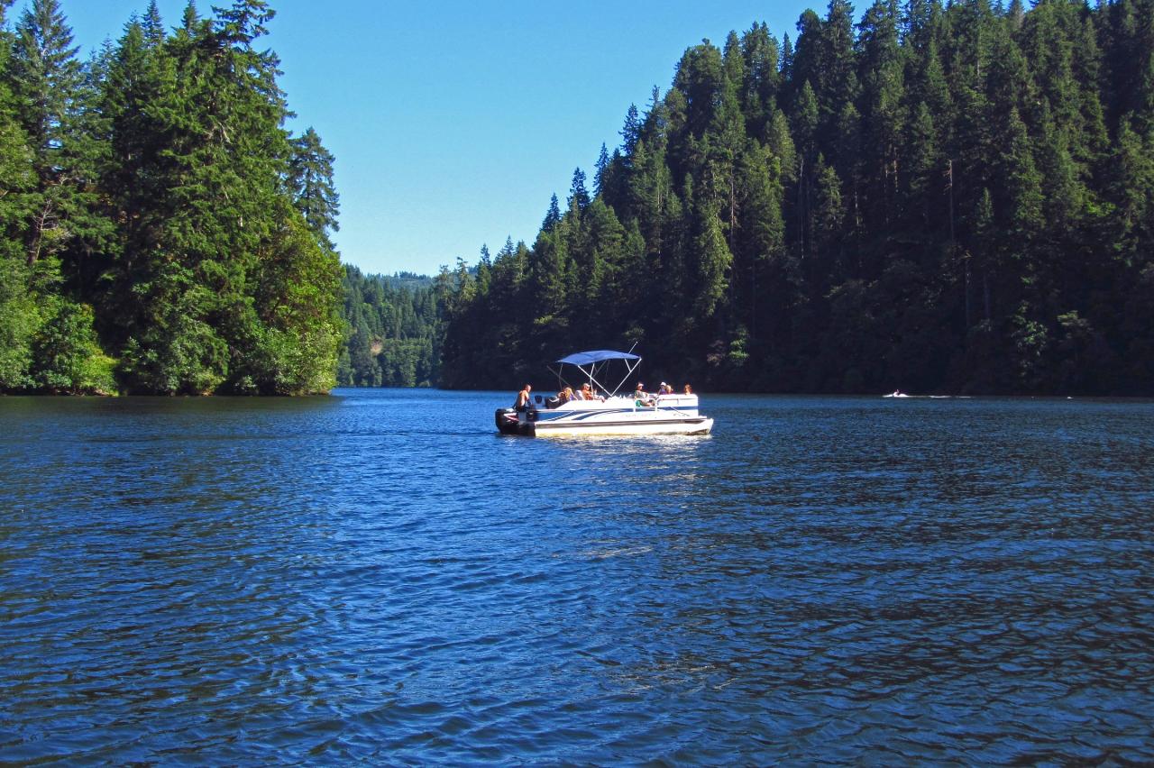
 A boat crosses Loon Lake off the BLM recreation site on a clear summer afternoon. courtesy of Themom51↗ (CC BY-SA 3.0↗)
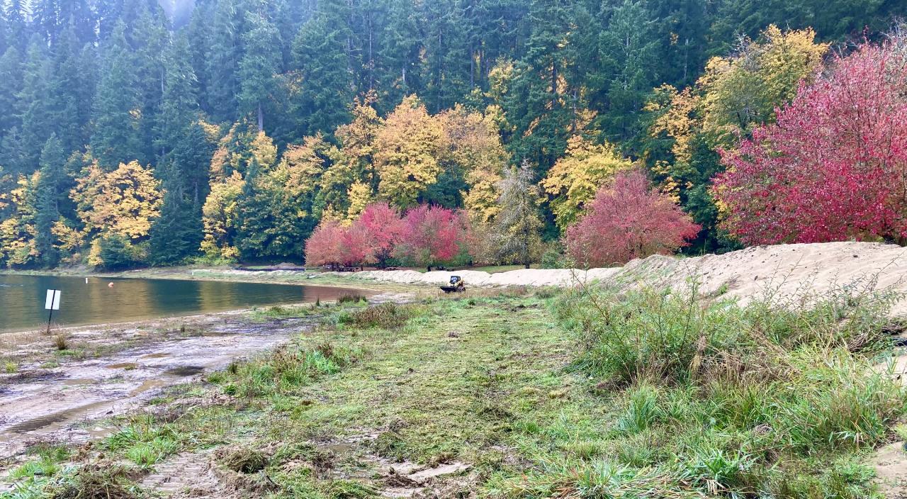
 The sand beach at the BLM day use area, with a swim area marker just offshore. courtesy of BLM Oregon & Washington↗ (CC BY-SA 2.0↗)
 The accessible fishing dock and the buoy line that marks the designated swimming area. courtesy of Visitor7↗ (CC BY-SA 3.0↗)
 The BLM entrance sign on Loon Lake Road, with icons for picnicking, camping, swimming and boat launc courtesy of Bureau of Land Management Oregon and Washington from Portland, America↗ (Public domain↗)
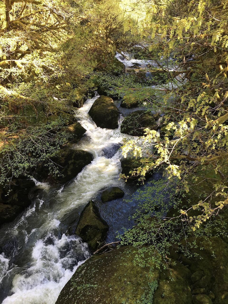
 Mill Creek, the lake's outlet, dropping through mossy sandstone below the recreation site. courtesy of Bureau of Land Management Oregon and Washington from Portland, America↗ (Public domain↗)
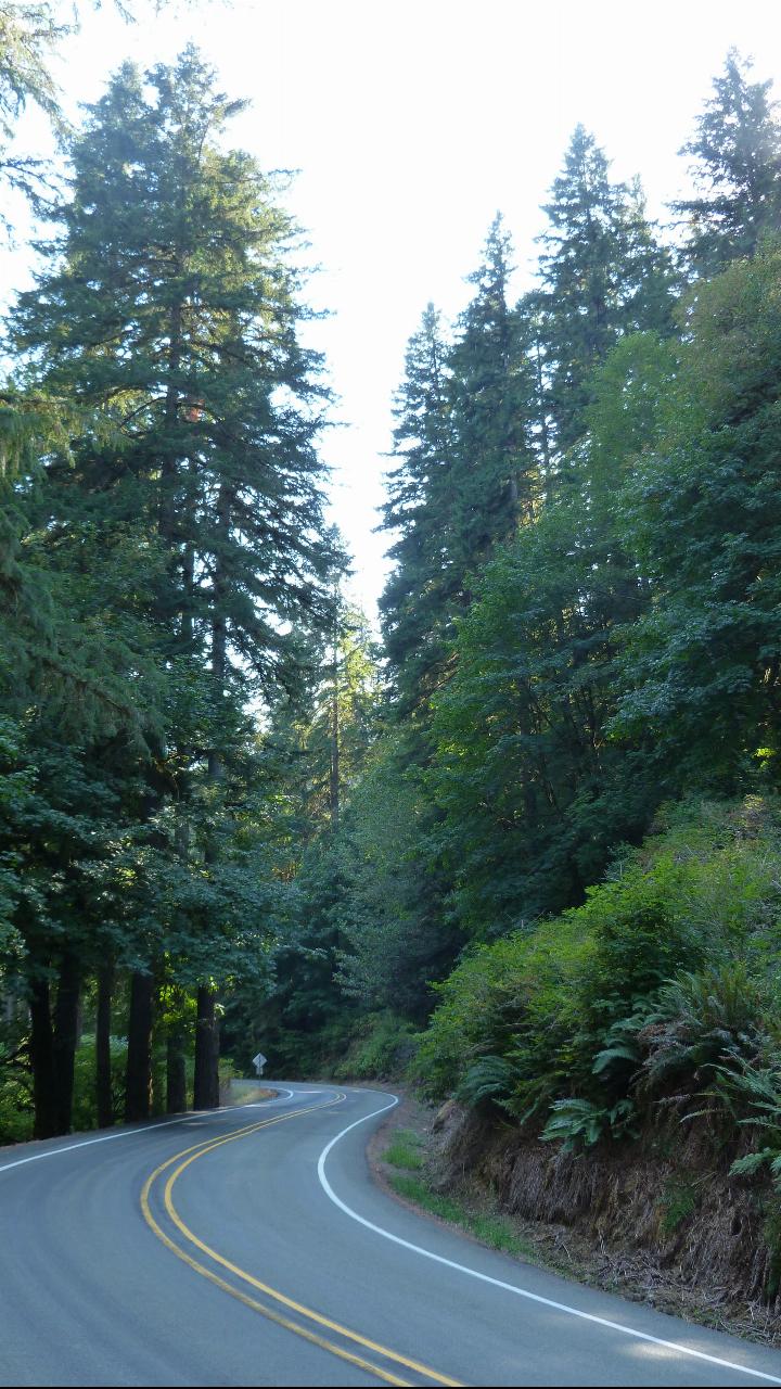
 Loon Lake Road winding south through the Coast Range on the seven-mile run in from OR-38. courtesy of A'eron Blackman↗ (CC BY 3.0↗)
Other Swimming Holes, Hiking Trails, Canoeing Areas, and Kayaking Areas Nearby
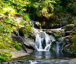
Beaver Creek Falls
Mapleton, Oregon
24.1 miles NA rare Columbia County waterfall hike with scenic Beaver Creek canyon, historic 1918 bridges, and preserved wood guardrails along a classic stretch of old Highway 30.
Hike 1.9 mi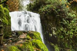
Sweet Creek Falls
Mapleton, Oregon
25.2 miles NEleven waterfalls in a Coast Range valley, each framed by mossy rocks, ferns, and a canopy of Douglas fir — with bridges, metal walkways, and seasonal salamander and crayfish hunting.
Hike
Spencer Butte
Eugene, Oregon
46.0 miles NEEugene's backyard hike through tall Douglas firs and maples to a summit with city views — a family-friendly loop with trails from easy to moderate.
Hike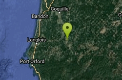
Coquille Myrtle Grove State Park
Myrtle Point, Oregon
46.1 miles SSwim near Myrtle Point, Oregon
Swim
Alton Baker Park Canoe Canal & 24/7 Wave
Eugene, Oregon
49.7 miles NEA year-round playspot on the Canoe Canal in Alton Baker Park where beginner playboaters can practice cartwheels and loops — accessible, free, and at its best during summer flows.
Canoe, Kayak


