


Lake Creek Falls
Blachly
Hike and Swim
Lower Lake Creek Falls sits in a bedrock gorge on Lake Creek in the Oregon Coast Range, about half a mile downstream of the point where the creek leaves Triangle Lake. The Bureau of Land Management runs it as a day use area through the Northwest Oregon District's Siuslaw Field Office, reachable at 541-683-6600. Locally the spot is called the Triangle Lake rock slides. Both names mean the same water.
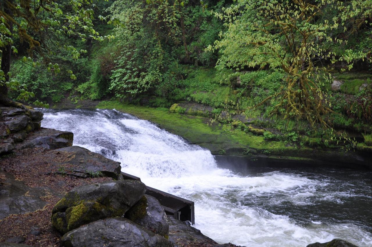
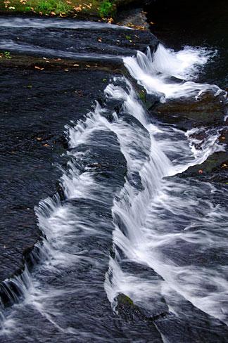
The creek drops roughly 50 feet here in three steps. The top ledge runs about 40 feet wide and 15 feet tall. Below it the channel slides down a long ramp into a 10 foot plunge, and the last tier is a longer angled slab ending in a pile of boulders. By July and August, once flow drops, that lower slab is the natural waterslide people drive out for, roughly 100 feet of polished rock finishing in a pool. Swimmers also jump from ledges 25 to 35 feet above the water.
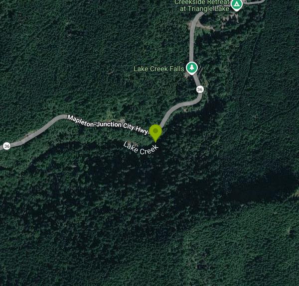
From Eugene, take Highway 99 north about 10 miles to Oregon 36, then go west about 26 miles. The signed lot is on the right roughly half a mile past Triangle Lake and any passenger car can reach it. No entrance fee, no reservation, open year round. From the lot you cross Highway 36 at a marked but unsignalled crosswalk, then follow about half a mile of trail downstream to a stairway dropping into the gorge. The trail stays wet and muddy well into summer, so wear shoes with grip.
Facilities are thin. A vault toilet and trash bins sit at the parking area, with more trash bins down at the slide. No drinking water, no changing rooms, and no lifeguard at any time of year. Camping is not allowed. Alcohol is banned, and dogs must be leashed at six feet or shorter. Hult Reservoir, another swimming spot, is about 15 minutes away.
This water has hurt people. The bedrock is polished and grows algae, footing above the falls is unreliable, and the current over the shallow rock at the lip pulls harder than it looks. In May 2017 a 20-year-old woman slipped and fell 20 to 30 feet through a series of ledges into the creek. Lane Fire Authority, Lane County Search and Rescue, Lane County Water Search and Rescue and Eugene Mountain Rescue rigged a highline across about 80 feet of moving water to reach her, and she was flown out by helicopter. Coverage that same summer reported a woman had died in May after a fall from the rocks. In July 2022 a 22-year-old man slipped while climbing the rock face at the Lake Creek slides, struck his head and went into the water; bystanders and medics could not revive him. Poison oak grows along the banks.
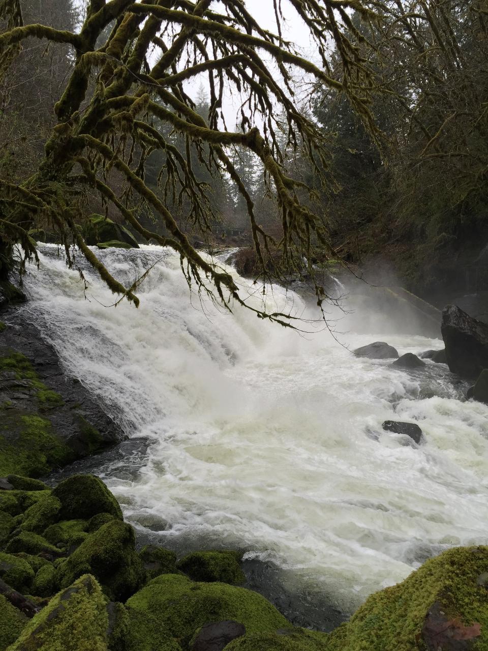
The falls blocked migrating fish until 1989, when BLM installed two Denil ladders and a bypass channel shaped to mimic a natural side channel, opening about 110 stream miles upstream. Coho here are federally listed as threatened. USGS radio-tagged 87 adult coho between October 2019 and February 2020: more than 93 percent of October-tagged fish cleared all three structures, against 46.7 percent in November and 19.0 percent in December. Fall and winter visitors can watch steelhead, coho and Chinook work the ladders. BLM shut the site and its parking lot for the entire July 1 to September 15 in-water work window in 2017 to repair that passage, so call ahead before a long drive. Winter and early spring push heavy flow through the gorge, which is when nobody belongs in the creek.
More Information
Dexter woman, 20, injured in fall at Lake Creek Falls near Triangle Lake
TRIANGLE LAKE, Ore. - A 20-year-old Dexter woman suffered significant injuries when she slipped and fell 20 to 30 feet at the rock slides at Lake Creek Falls south of Triangle Lake on Monday, the Lane County Sheriff's Office said.The woman's identity has n
https://kcby.com/news/local/dexter-woman-20-injured-in-fall-at-lake-creek-falls-near-triangle-lakeLake Creek Falls, Lane County, Oregon - Northwest Waterfall Survey
Detailed information about Lake Creek Falls in Lane County, Oregon
https://www.waterfallsnorthwest.com/waterfall/Lake-Creek-Falls-3844Lower Lake Creek Falls - Oregon | Bureau of Land Management
The natural bedrock slide at the falls is ideal for a hot summer day! A series of low cascades carved in the bedrock within a narrow gorge create this geological wonder that spills into Triangle Lake.
https://www.blm.gov/visit/lower-lake-creek-fallsLower Lake Creek Falls | Oregon | Recreation.gov
Reserve camping, permits & activities at Lower Lake Creek Falls, Oregon. Book official reservations on Recreation.gov.
https://www.recreation.gov/gateways/1791Northwest Oregon: Fish Improvements at Lake Creek Falls Recreation Site | Bureau of Land Management
The BLM will be repairing the fish ladders at Lake Creek Falls. To complete this work, the Lake Creek Falls Recreation Site and nearby parking area will be temporary closed to public access.
https://www.blm.gov/press-release/northwest-oregon-fish-improvements-lake-creek-falls-recreation-siteOregon - Lake Creek Falls Recreation Site Map | Bureau of Land Management
An official website of the United States government
https://www.blm.gov/documents/oregon-washington/public-room/map/oregon-lake-creek-falls-recreation-sitePassage of adult coho salmon (Oncorhynchus kisutch) over Lake Creek Falls, Oregon, 2019
Across the Pacific Northwest, there are many examples of artificial structures created to allow passage of upstream-migrating salmon over natural barriers. We studied upstream passage across three structures installed in 1989 to allow passage of salmon over Lake Creek Falls, a series of three natural waterfalls at the outlet of Triangle Lake on Lake Creek, in the central Oregon Coast Range (lat 123.57508°; long 44.15735°). To track upstream passage by adult coho salmon (Oncorhynchus kisutch), 87 fish were tagged using gastrically implanted radio tags. Tracking was accomplished with a series of stationary receivers installed to detect crossings at each of three structures—over Lake Creek Falls using two upstream Denil-type ladders and a bypass downstream constructed to mimic a natural side channel. Tracking spanned the upstream migration and spawn timing for adult coho salmon in the basin and extended from October 2019 to February 2020. A total of 15 coho...
https://pubs.usgs.gov/publication/ofr20221083Rock slides at Lake Creek Falls near Triangle Lake still open as heat wave arrives
TRIANGLE LAKE, Ore. - A popular swimming hole set to close for the summer while contractors repair fish ladders remains open as potentially record-setting heat grips the region, the Bureau of Land Management said.The rock slides and parking area at Lake Cr
https://kval.com/outdoors/rock-slides-at-lake-creek-falls-near-triangle-lake-still-open-as-heat-wave-arrivesWILD ROGUE
The natural bedrock slide at Lake Creek Falls is very popular and ideal for a hot summer day! A series of low cascades carved in the bedrock within a narrow gorge create this geological wonder that spills into Triangle Lake.
https://www.blm.gov/sites/default/files/documents/files/nwo_lakecreekfalls_brochure.pdfBe courteous, informed, and prepared. Read trailhead guidelines, stay on the trail, and don't feed the wildlife.
Read More
- Plan Ahead and Prepare
- Travel & camp on durable surfaces
- Dispose of waste properly
- Leave what you find
- Minimize campfire impacts
- Respect wildlife
- Be considerate of other visitors
Directions
From Blachly
- Head west on OR-36 W toward Sam Brown RdDestination will be on the left(5.3 mi)
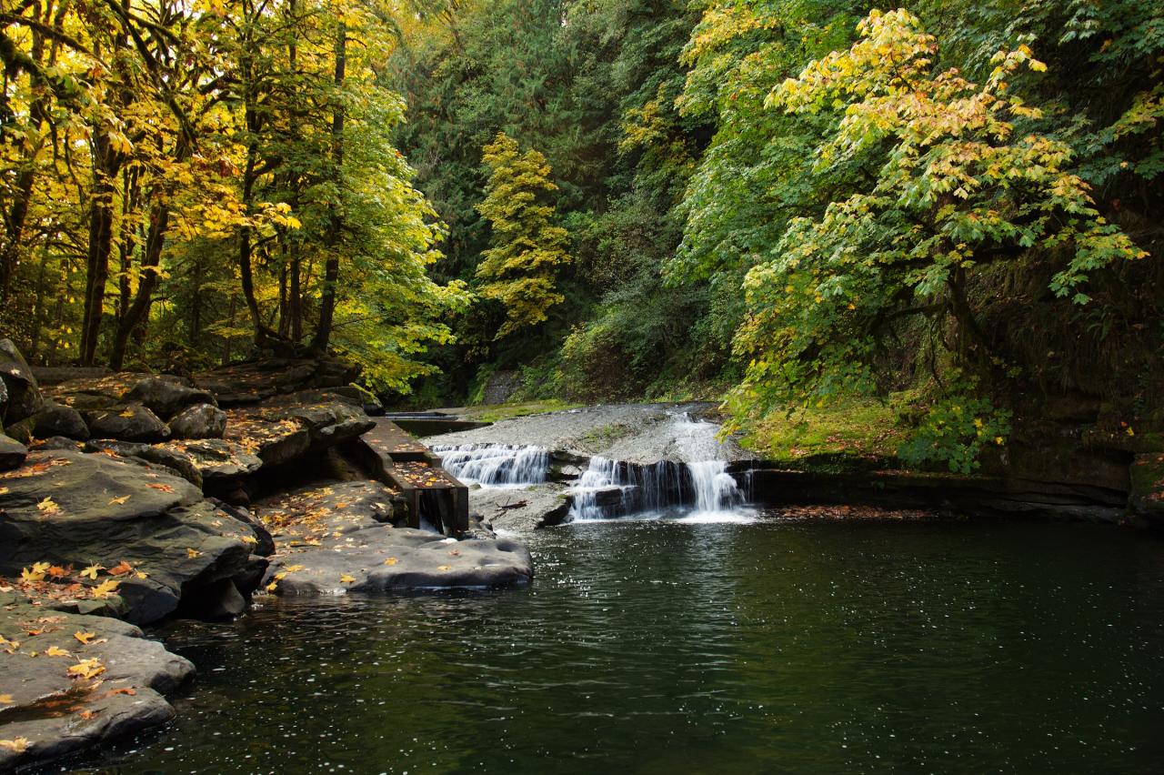
 The plunge pool below the lower cascade, with the bedrock benches swimmers sit on and a concrete fis courtesy of Bonnie Moreland from Oregon, United States↗ (Public domain↗)
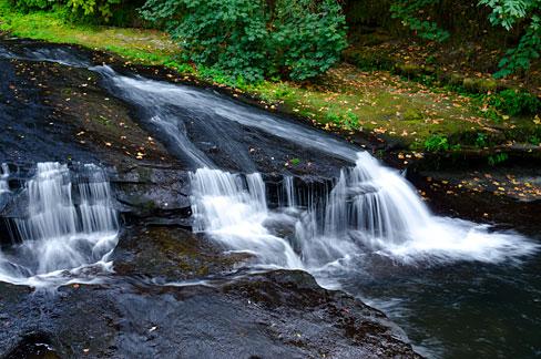
 Low summer water exposing the bedrock ramps that form the natural slide. courtesy of Gary Halvorson, Oregon State Archives↗ (Attribution)
 The main drop and the mouth of one of the 1989 fish passage structures. courtesy of Finetooth↗ (CC BY-SA 3.0↗)
 Water fanning across the stepped bedrock in the narrow gorge. courtesy of Gary Halvorson, Oregon State Archives↗ (Attribution)
 Winter flow filling the gorge, when the reach is not swimmable. courtesy of Bureau of Land Management Oregon and Washington↗ (Public domain↗)
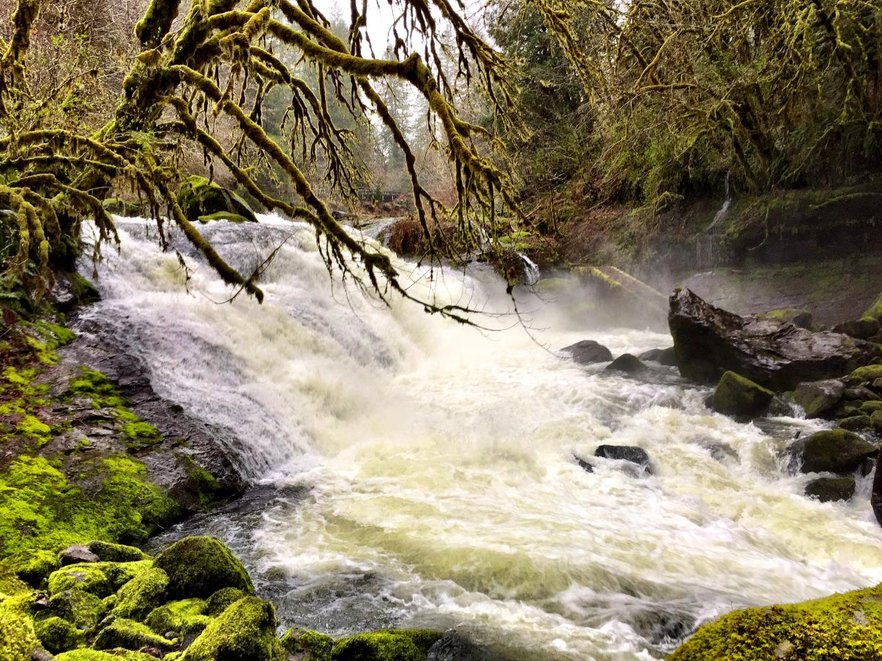 High water pouring over the wide upper ledge into the boulder reach below. courtesy of Bureau of Land Management Oregon and Washington↗ (Public domain↗)
Other Swimming Holes and Hiking Trails Nearby
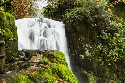
Sweet Creek Falls
Mapleton, Oregon
21.3 miles SWEleven waterfalls in a Coast Range valley, each framed by mossy rocks, ferns, and a canopy of Douglas fir — with bridges, metal walkways, and seasonal salamander and crayfish hunting.
Hike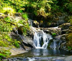
Beaver Creek Falls
Mapleton, Oregon
21.7 miles SWA rare Columbia County waterfall hike with scenic Beaver Creek canyon, historic 1918 bridges, and preserved wood guardrails along a classic stretch of old Highway 30.
Hike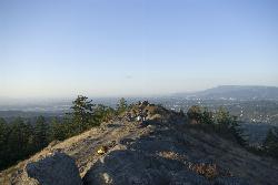
Spencer Butte
Eugene, Oregon
26.7 miles SEEugene's backyard hike through tall Douglas firs and maples to a summit with city views — a family-friendly loop with trails from easy to moderate.
Hike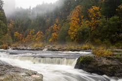
Smith River Falls
Reedsport
28.0 miles SWA free BLM campground and day-use site on the Smith River in the Oregon Coast Range, 26.4 miles up Smith River Road from Reedsport, with wading and swimming among sandstone ledges just above Smith River Falls.
Camp, Kayak, Swim
Mount Pisgah
Eugene, Oregon
31.3 miles EA popular summit hike and trail-run destination just outside Eugene, with a 209-acre living tree museum at its base, multiple trail options, and even a pair of swings hanging from oak trees at Swing Hill's high point.
Hike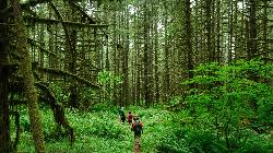
Shotgun Creek Recreation Site
Marcola
36.5 miles EBLM day-use park on Shotgun Creek north of Marcola with a small seasonal creek swimming area, picnic lawns and forest trails. $5 per vehicle.
Hike, Swim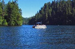
Loon Lake Recreation Site
Reedsport
41.2 miles SA landslide-dammed lake in the Oregon Coast Range with one of the region's few genuine sand beaches, run by the BLM about 20 miles east of Reedsport. Day use is $5 per vehicle and includes a buoyed swim area, a boat ramp and a quarter-mile trail to a wate
Camp, Canoe, Hike, Kayak, Swim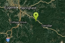
Eagle Rest
Lowell, Oregon
49.2 miles SEA historic one-car viewpoint on the Historic Columbia River Highway designed by Samuel Lancaster, now rebuilt as part of a trail — once famous for watching early Bonneville Dam construction.
Canoe, Hike, Mountain BikeNearby Campsites
Smith River Falls
Reedsport
28.0 miles SWA free BLM campground and day-use site on the Smith River in the Oregon Coast Range, 26.4 miles up Smith River Road from Reedsport, with wading and swimming among sandstone ledges just above Smith River Falls.
Camp, Kayak, Swim
Loon Lake Recreation Site
Reedsport
41.2 miles SA landslide-dammed lake in the Oregon Coast Range with one of the region's few genuine sand beaches, run by the BLM about 20 miles east of Reedsport. Day use is $5 per vehicle and includes a buoyed swim area, a boat ramp and a quarter-mile trail to a wate
Camp, Canoe, Hike, Kayak, Swim


