


South Lake Swimming Area
Haines Falls
Camp, Canoe, Hike, Kayak, and Swim
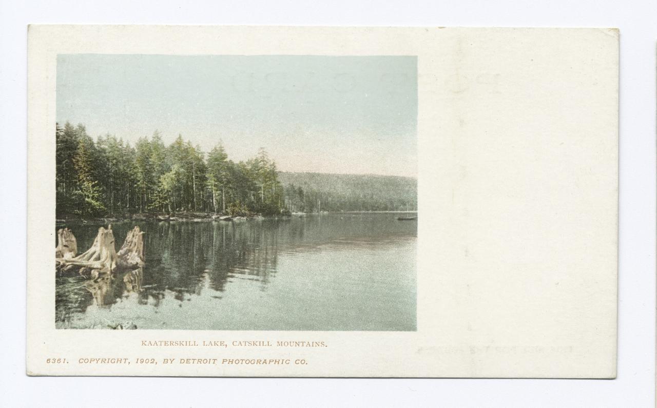
South Lake is the western of the two linked basins that New York State manages as the North-South Lake Campground and Day Use Area, sitting on top of the Catskill Escarpment in the Town of Hunter, Greene County. The mailing address is Haines Falls, and the drive in runs from Route 23A through Haines Falls and up County Route 18, also signed as North Lake Road. Nineteenth century guidebooks called this water Kaaterskill Lake, and old postcards still carry that name, which is worth knowing because there is a second, unrelated South Lake up in Herkimer County.
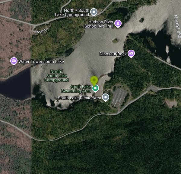
The swimming is at a sand crescent on the east shore, a short walk from the seasonal day use parking lot. The New York State Department of Environmental Conservation charges the day use fee: $10 per vehicle at the gate during the operating season, which in 2026 runs May 15 through October 25. An Empire Pass covers it, and the fee is waived on weekdays for visitors 62 and older. There is no membership, no reservation and no resident restriction attached to the beach. Anyone who pays at the booth can walk down and get in.
The water here is shallow and warms early. DEC puts the lake's average depth at about five and a half feet, and the bottom off the beach shelves out slowly over sand the state has had to keep replacing. In 2017 the department trucked in more than 400 tons of sand to rebuild the South Lake beach as part of a $150,000 round of work across the campground. The same push added a fully accessible boat rental building with a concrete walkway, an EZ dock canoe and kayak launch, an outdoor shower, and a wooden boardwalk that runs all the way to the water's edge, which makes this the easier of the two beaches to reach on wheels.
Swimming is unsupervised. DEC does not post lifeguards at its campground beaches, asks people to enter the water only from the marked beach, and closes swimming from half an hour before sunset until half an hour after sunrise. The boat rental sits right at the beach and goes out in two hour blocks with the last rental at 4pm. Rowboats, canoes, kayaks and paddle boats are available, and no motors are permitted anywhere on the lake.
Until the 1970s South Lake really was its own pond, held apart from North Lake by an earthen dam. The state pulled that dam out, built a new one at the South Lake outlet, and the pair became one sheet of water, so a swim off this beach is a swim in the same body that laps the North Lake beach four tenths of a mile northeast. South Lake was still in private hands when New York bought into the area in 1929. The beaches went in during 1936.
The ledge above the lake held the Catskill Mountain House, the resort that Thomas Cole and the rest of the Hudson River School painters made famous before the state razed the ruin in 1963. Its foundation, Artists Rock, Sunset Rock, North Point, Alligator Rock and the top of Kaaterskill Falls all tie back to the lakeshore on foot. Anglers work the water for largemouth bass, yellow perch, pumpkinseed and brown bullhead, and DEC drops in roughly 300 tiger muskellunge a year. Around 54,000 day visitors and 65,000 campers come through in a typical season, the heaviest use of any state property in the Catskill Park, so a July Saturday at this beach is a busy one.
More Information
DEC Improvements | North/South Lake | Greene County, NY
$150L of Improvements to North/South Lake Campground Include New ADA-accessible Boathouse, Upgraded Bathhouses, and Energy-Efficient Lighting.
https://greenecountyny.gov/news/dec-announces-completion-150k-improvements-northsouth-lake-campground-greene-county/North-South Lake | Camping, Hikes & Catskill Views
North-South Lake in the Catskills: swimming, camping, and trails to Artist's Rock and the Mountain House site. Peak fall color viewpoint.
https://www.greatnortherncatskills.com/attractions/north-south-lakeNorth-South Lake, NY: Hiking, Camping & Day Use Guide | Camp Catskill
Plan your trip to North-South Lake: parking and trailheads for Sunset Rock, the Escarpment Trail, and Kaaterskill Falls, plus what to know before you camp or come for the day. From a Tannersville outdoor shop.
https://campcatskill.co/pages/north-south-lakeWay: South Lake (43289140) | OpenStreetMap
OpenStreetMap is a map of the world, created by people like you and free to use under an open license.
https://www.openstreetmap.org/way/43289140Be courteous, informed, and prepared. Read trailhead guidelines, stay on the trail, and don't feed the wildlife.
Read More
- Plan Ahead and Prepare
- Travel & camp on durable surfaces
- Dispose of waste properly
- Leave what you find
- Minimize campfire impacts
- Respect wildlife
- Be considerate of other visitors
Directions
From Haines Falls
- Head east on NY-23A E toward N Lake Rd (390 ft)
- Turn left onto N Lake RdPartial restricted usage road(4.0 mi)
- Slight right (0.2 mi)
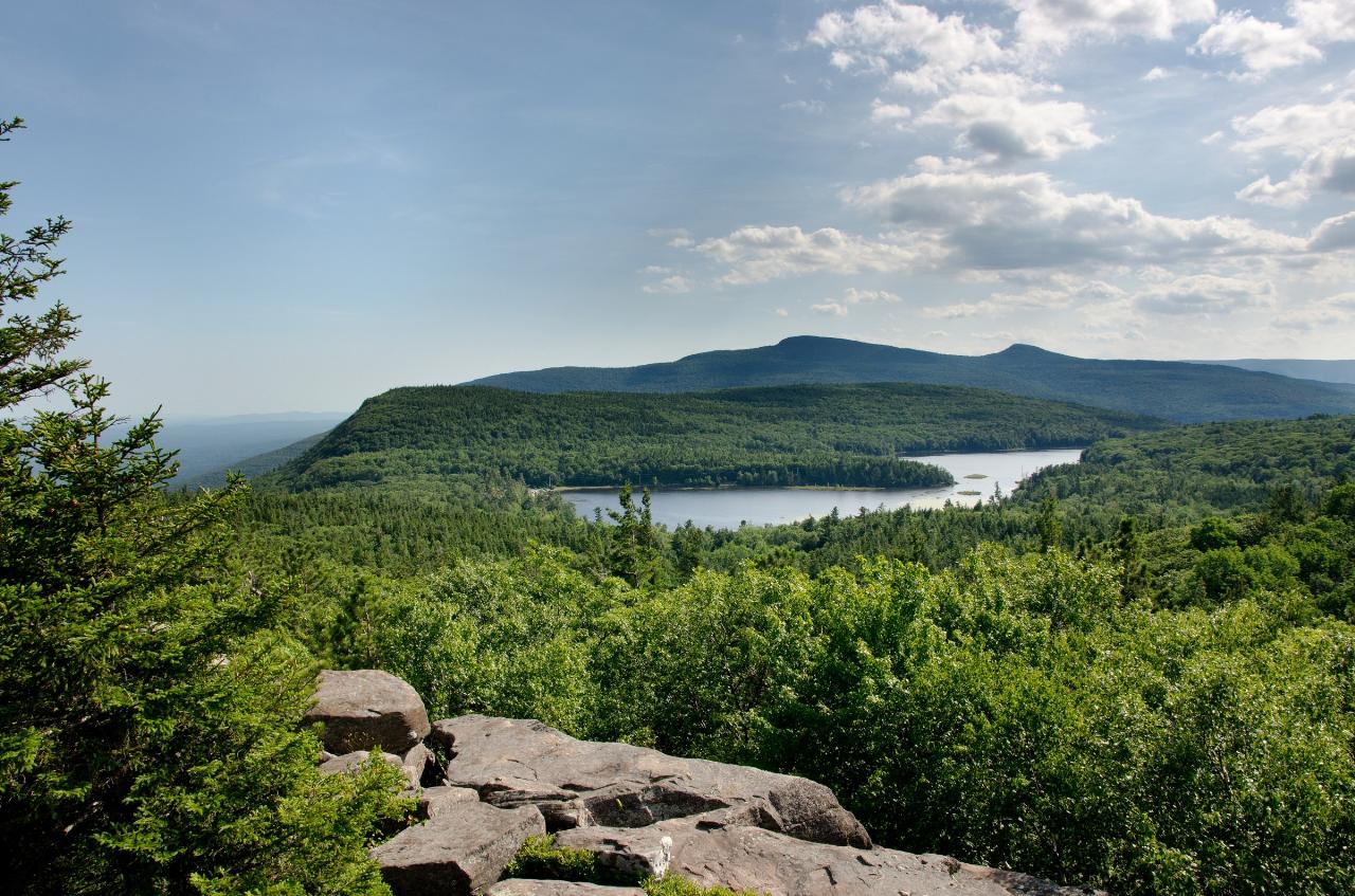
 South Lake and North Lake seen from Sunset Rock on the Catskill Escarpment. courtesy of Mark Fickett↗ (CC BY 3.0↗)
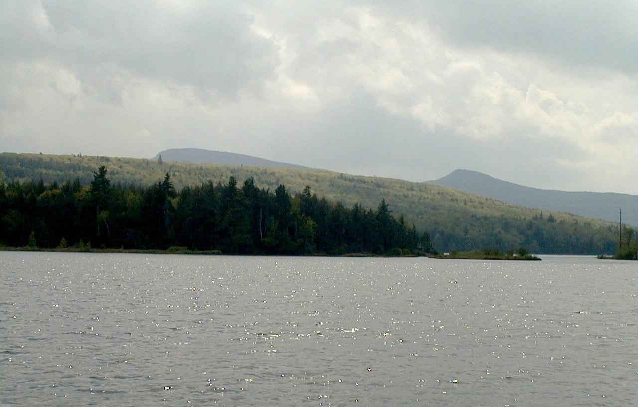
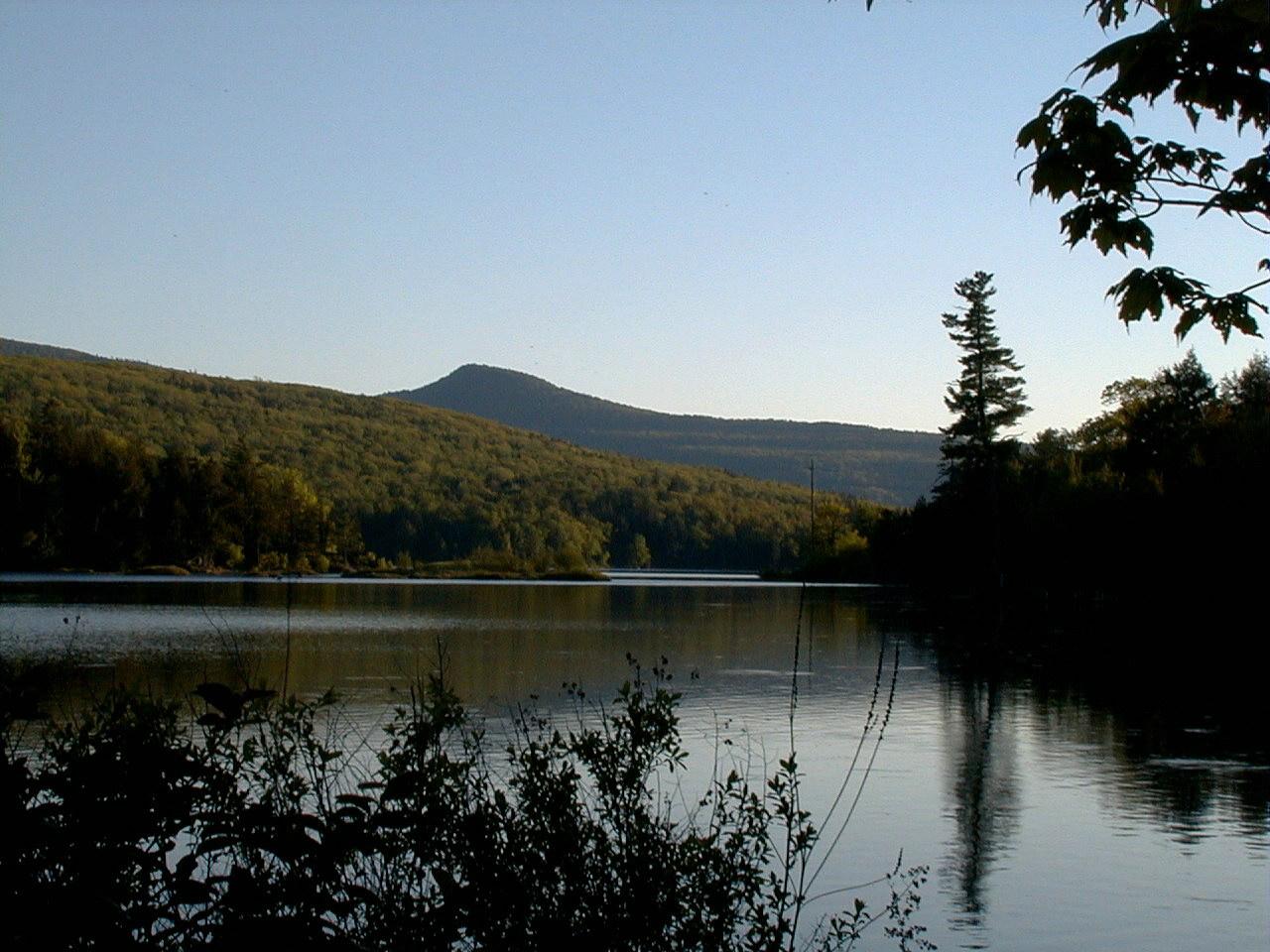
 Open water on North-South Lake looking toward the surrounding ridges. courtesy of Mwanner at en.wikipedia↗ (CC BY-SA 3.0↗)
 Late day light on the lake from the shoreline inside the campground. courtesy of Mwanner at en.wikipedia↗ (CC BY-SA 3.0↗)
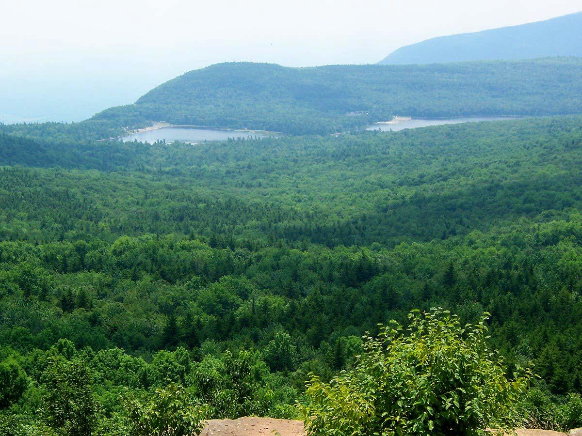
 Both lake basins seen from North Point, with the beaches along the shore. courtesy of The original uploader was Daniel Case at English Wikipedia.↗ (CC BY-SA 3.0↗)
 South Lake, published as Kaaterskill Lake, in a 1902 view of the Catskills. courtesy of Detroit Publishing Company↗ (Public domain↗)
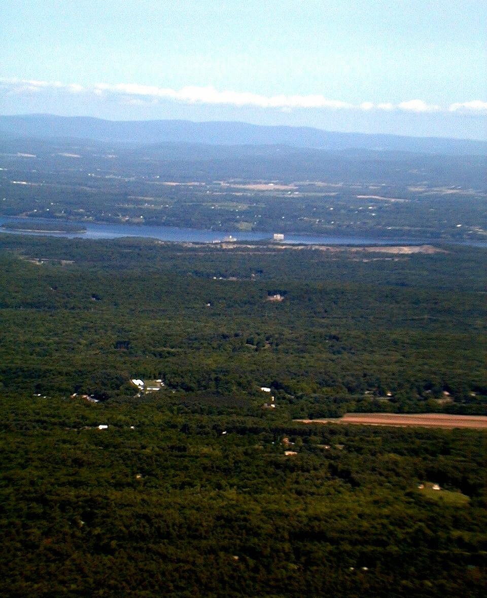
 The view east over the Hudson Valley from the Catskill Mountain House site above the lake. courtesy of Mwanner at en.wikipedia↗ (CC BY-SA 3.0↗)
Other Swimming Holes, Hiking Trails, Canoeing Areas, and Kayaking Areas Nearby
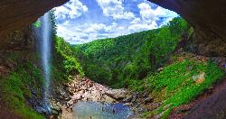
Kaaterskill Fall
Hunter, New York
1.0 miles WKaaterskill Falls is one of the most storied waterfalls in the eastern United States — a spectacular two-tiered cascade in New York's Catskill Mountains near Hunter that plunges roughly 260...
Hike, Swim
Durham Area
Croton-on-Hudson, New York
4.5 miles NWSwim near Croton-on-Hudson, New York
Swim
Litner Rock
Elka Park, New York
5.8 miles WSwim near Elka Park, New York
Swim
Woodstock Area
Diamond Point, New York
11.3 miles SSwim near Diamond Point, New York
Swim
Red Hook Area
Utica-Rome, NY, New York
12.4 miles SESwim near Utica-Rome, NY, New York
Swim
Glenerie
Saugerties, New York
12.5 miles SSwim near Saugerties, New York
Swim
Phoenicia Area
Copake Falls, New York
16.1 miles SWSwim near Copake Falls, New York
Swim
Lake Taghkanic State Park
Ancram
18.2 miles SEWest Beach at Lake Taghkanic State Park is a lifeguarded sand beach on a clear 168-acre lake off the Taconic Parkway near Ancram. Summer entry is $10 per car.
Camp, Canoe, Hike, Kayak, Swim
Mosquito Point
Ravena, New York
18.7 miles WSwim near Ravena, New York
Swim
Ore Pit Pond
Copake Falls, New York
27.6 miles EA roped-off quarry swimming area with a diving platform and lifeguards — a classic Taconic-region swim spot in Copake Falls, New York.
Swim
Bash Bish Falls
Mount Washington, Massachusetts
28.8 miles ESwim near Mount Washington, Massachusetts
Swim
Ellenville Holes (Sandbury and Rondout Creek)
Kerhonkson, New York
30.9 miles SBlue swimming holes on Sandburg and Rondout Creeks along Route 209, easily spotted from the road or tucked further away — a classic warm-weather escape with fishing access too.
Swim
Max Shaul Area
Saugerties, New York
31.0 miles NWSwim near Saugerties, New York
Swim
Split Rock Hole
Gardiner, New York
32.2 miles SA crystal-clear swimming hole in the Mohonk Preserve with a 10-foot chasm, a 12-foot waterfall, a 3-to-8-foot swim area, flat cliff-top picnic space, and a short easy hike in.
Swim
Salmon River
Salisbury, Connecticut
32.8 miles SESwim near Salisbury, Connecticut
Swim
Riga Falls
Salisbury, Connecticut
32.8 miles SERiga Falls is a scenic, little-known waterfall and swimming hole on Wachocastinook Creek in Connecticut's wild Mount Riga Preserve near Salisbury.
Swim
Nassau Area
Ravena, New York
33.1 miles NESwim near Ravena, New York
Swim
Lake Minnewaska
Kerhonkson, New York
33.9 miles SA stunning acidic lake with white rock formations and forest reflections, a public gravel beach with swim areas up to 20 feet deep, and a family-friendly summer swim scene.
Swim
Green River
Southwick, Massachusetts
34.1 miles ESwim near Southwick, Massachusetts
Swim
Washing Machine
Wawarsing, New York
34.3 miles SWA short waterfall swimming hole shaped like a washing machine, with a wide deep forest pool — reach it via Lundy Road off Route 209 and a short walking path; swimmers should keep their distance from the falls itself.
Swim


