


Spencer Butte
Eugene, Oregon
| Address: | Spencer Butte, 85385 S Willamette St, Eugene, OR 97405, USA |
| GPS: |
43°58'59.3"N 123°5'44.7"W Maps | Directions |
| State: | Oregon |
Hike
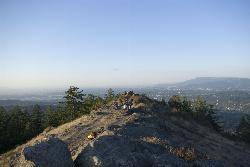
In need of a nearby hiking fix? Spencer Butte is the perfect place to get away from the city of Eugene and into the forest. Spencer Butte is a prominent landmark in Lane County, Oregon. It is considered Eugene's "backyard hike" because of how close and central it is. Walking through tall douglas firs and the maple trees, you will feel far from civilization - at least until you reach the summit. From the summit, you can see the city of Eugene below. This is a great location to watch the sunrise or sunset.
There are many different trails to take at Spencer Butte but most of them interconnect. Most of these are loop trails. The trails range from easy to moderate and are considered family friendly. Many locals use these trails for morning hikes or trail running.
When the weather is nice Spencer Butte can get pretty crowded, but it is also a nice hike in rainy weather. Just be careful because it can get fairly muddy.
NOTE: Watch out for poison oak and rattlesnakes.
Round trip: about 2 hours - it depends on which trailhead you start at, but expect about an hour to the top of the summit and an hour down.
Elevation gain: about 721 feet
More Information
Spencer Butte - Wikipedia
From Wikipedia, the free encyclopedia
https://en.wikipedia.org/wiki/Spencer_ButteSpencer Butte – Hiking Guide | Eugene Outdoors
Spencer Butte, also know as Spencer’s Butte, is the big mountain right in the backyard of Eugene. It tops out at an elevation just over 2,000ft and offers the
https://www.eugeneoutdoors.com/spencer-butte/Be courteous, informed, and prepared. Read trailhead guidelines, stay on the trail, and don't feed the wildlife.
Read More
- Plan Ahead and Prepare
- Travel & camp on durable surfaces
- Dispose of waste properly
- Leave what you find
- Minimize campfire impacts
- Respect wildlife
- Be considerate of other visitors
Directions
From Eugene, Oregon
- Head north toward Coburg Rd (249 ft)
- Merge onto Coburg Rd (0.2 mi)
- Turn right onto E 4th Ave (0.3 mi)
- Turn left onto Pearl St (1.2 mi)
- Continue onto Amazon Pkwy (0.6 mi)
- Continue straight (180 ft)
- Turn right onto E 27th Ave (0.1 mi)
- Turn left onto Willamette St (3.4 mi)
katelocke
7/14/17 11:55 am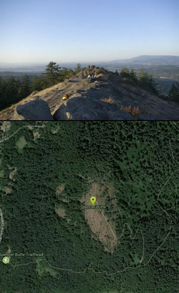


Other Hiking Trails Nearby

Mount Pisgah
Eugene, Oregon
6.0 miles EA popular summit hike and trail-run destination just outside Eugene, with a 209-acre living tree museum at its base, multiple trail options, and even a pair of swings hanging from oak trees at Swing Hill's high point.
Hike 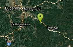
Eagle Rest
Lowell, Oregon
22.5 miles SEA historic one-car viewpoint on the Historic Columbia River Highway designed by Samuel Lancaster, now rebuilt as part of a trail — once famous for watching early Bonneville Dam construction.
Canoe, Hike, Mountain Bike 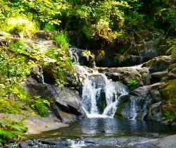
Beaver Creek Falls
Mapleton, Oregon
39.7 miles WA rare Columbia County waterfall hike with scenic Beaver Creek canyon, historic 1918 bridges, and preserved wood guardrails along a classic stretch of old Highway 30.
Hike 1.9 mi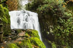
Sweet Creek Falls
Mapleton, Oregon
40.2 miles WEleven waterfalls in a Coast Range valley, each framed by mossy rocks, ferns, and a canopy of Douglas fir — with bridges, metal walkways, and seasonal salamander and crayfish hunting.
Hike


