


Tall Timbers Disc Golf Course
Heber-Overgaard, Arizona
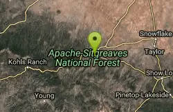
| Address: | 2805 Arizona 260, Heber/ Overgaard, AZ |
| GPS: |
34°24'4.9"N 110°33'43.3"W Maps | Directions |
| State: | Arizona |
Disc Golf
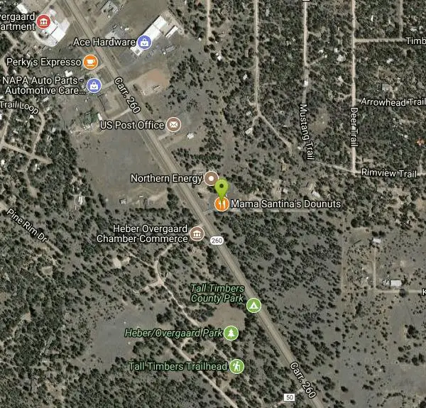
A short, moderately wooded course. Good for beginners - advanced players will enjoy throwing mid range discs and putters for ace runs. It plays through beautiful Ponderosa pines. All baskets are elevated, mounted into downed lengths of pine logs. Golf discs available at the Heber/Overgaard Chamber of Commerce at the NE park entrance. Public (No Fee)Courtesy of DiscGolfUnited.com
More Information
Add Resource
- Plan Ahead and Prepare
- Travel & camp on durable surfaces
- Dispose of waste properly
- Leave what you find
- Minimize campfire impacts
- Respect wildlife
- Be considerate of other visitors
Directions
From Heber-Overgaard, Arizona
- Head west toward Buckskin Rd (0.2 mi)
- Turn left onto Buckskin Rd (0.4 mi)
- Turn right onto Forest Park Dr (358 ft)
- Turn left onto AZ-260 E (0.6 mi)
- Turn left onto Caprice TrailDestination will be on the left(190 ft)
From Hwy 260; turn west 300' south of mile post #307 into the drive next to Heber/Overgaard Chamber of Commerce. Drive into the park about 0.23 mile to the 1st tee on the left. Park in the parking spaces near the playground.Courtesy of DiscGolfUnited.com
Other Folf Courses Nearby
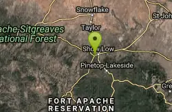
Show Low Disc Golf Course
Show Low, Arizona
30.7 miles EA free disc golf course above 6,000 feet in Show Low, winding through heavy pines and brush in a city park, with cool tee designs and course maps at the Aquatic Center.
Disc Golf 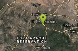
Wood Land
Pinetop-Lakeside, Arizona
38.5 miles SEA disc golf course at 7,000 feet in a heavily wooded setting near Pinetop-Lakeside — short precision holes surrounded by fishing, hiking, biking, camping, and skiing.
Disc Golf 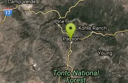
Rumsey Park
Payson, Arizona
45.3 miles WA 9-basket dual-tee disc golf course in Payson with dirt tees and no signs — bring the map to navigate this understated but playable layout.
Disc GolfNearby Campsites

Sinkhole Campground
Payson, Arizona
19.7 miles WSinkhole Campground sits in cool ponderosa pines atop the Mogollon Rim, a short walk from the trout waters of Willow Springs Lake.
Camp, Hike, Mountain Bike 4.0 mi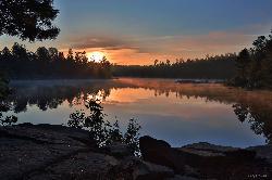
Woods Canyon Lake
Payson, Arizona
22.3 miles WA trout-fishing lake near Payson with a scenic loop hike and Mogollon Rim views — swimming is not recommended, but the scenery and fishing make it well worth the visit.
Camp, Hike, Swim 
Aspen Campground
Payson, Arizona
22.5 miles WA large, popular campground near Woods Canyon Lake in the Apache-Sitgreaves National Forest — note that Rim Road closes in winter, so the site is inaccessible during that time.
Camp 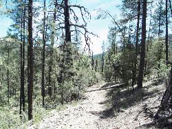
Haigler Canyon Campground
Payson, Arizona
26.1 miles SWA 2007-built campground along Haigler Creek with 14 overnight sites, trout fishing stocked April through late August, and chiseled canyon swimming holes nearby.
Camp, Hike, Swim 1.1 mi
Christopher Creek Campground
Payson, Arizona
27.9 miles WA creekside campground east of Payson with swimming holes, small waterfalls, spring trout stocking, and cross-country skiing in winter — open for day-use and overnight camping spring through fall.
Camp, Canyoneer, Cross-country Ski, Hike, Swim 1.1-3.5 mi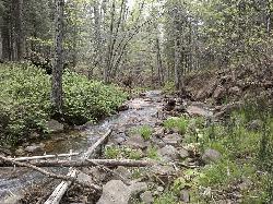
Horton Springs
Payson, Arizona
30.7 miles WA spring on the Mogollon Rim where water emerges dramatically from the mountainside — hike the easy Horton Creek Trail through wildflowers and maples, splash in the cold creek, and camp near the spring.
Backpack, Camp, Hike 
Upper Tonto Creek Campground
Payson, Arizona
30.8 miles WA 9-site first-come-first-served campground at the junction of Tonto and Horton Creeks — with vault toilets, drinking water, and trailheads for Horton Spring and the Highline Trail nearby.
Camp, Hike 
Hell's Gate
Payson, Arizona
33.1 miles WHellsgate Wilderness hides deep canyon pools possibly separated by impassable falls in a remote 37,000-acre preserve — a true adventure for spring and fall explorers.
Backpack, Camp, Hike, Swim 
McHood Park Clear Creek Reservoir
Winslow, Arizona
39.5 miles NA canyon reservoir near Winslow for kayaking, swimming, fishing, and canyon rock climbing — paddle nearly 3 miles upstream.
Camp, Canoe, Canyoneer, Kayak, Rock Climb, Swim


