


Woods Canyon Lake
Payson, Arizona
| Address: | Woods Canyon Lake, Forest Service Rd 105, Payson, AZ 85541, USA |
| GPS: |
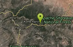
34°20'8.1"N 110°56'42.5"W Maps | Directions |
| State: | Arizona |
| Trails/Routes: | 4.0 mi |
Restrooms Lakes Trails Fishing Motorized Use
Camp, Hike, and Swim
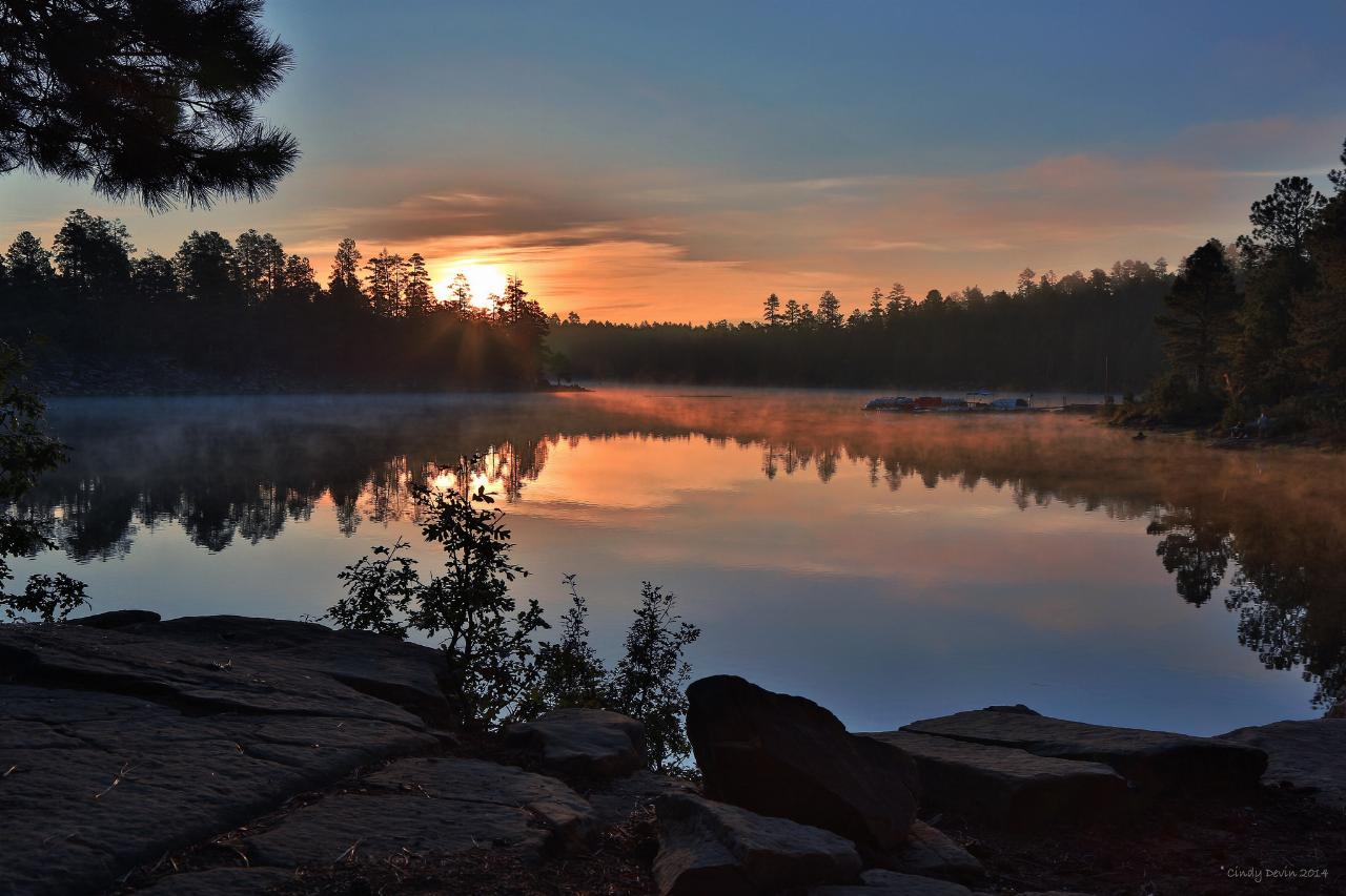
Woods Canyon Lake is a fishing lake near Payson, Arizona located near the Mogollon Rim. The lake has a hike that loops around it, and several other hikes nearby to look at the particularly scenic views just off of nearby Rim Road.
Access to the lake is restricted in the winter due to snowy conditions on the road, and reopens in the spring as the snow melts.
Woods Canyon Lake is managed as a trout fishery. Some people swim in the lake but it is not recommended. Courtesy of woodscanyonlakeaz.com
More Information
Woods Canyon Lake AZ | Fishing, Kayaking, Camping & Rim Recreation
Explore Woods Canyon Lake AZ for trout fishing, kayaking, camping and scenic recreation along the Mogollon Rim near Payson.
https://www.arizona-leisure.com/woods-canyon-lake.htmlBe courteous, informed, and prepared. Read trailhead guidelines, stay on the trail, and don't feed the wildlife.
Read More
- Plan Ahead and Prepare
- Travel & camp on durable surfaces
- Dispose of waste properly
- Leave what you find
- Minimize campfire impacts
- Respect wildlife
- Be considerate of other visitors
Directions
From Payson, Arizona
- Head northeast on AZ-87 N toward E Frontier St (0.7 mi)
- Turn right onto AZ-260 E (29.2 mi)
- Turn left onto Rim Rd (3.3 mi)
- Turn right onto Woods Canyon Rd (1.5 mi)



Added by camilledupar
Other Swimming Holes and Hiking Trails Nearby
Meadow Trail #505
Payson, Arizona
0.2 miles SEMeadow Trail #505 is a short, paved, wheelchair-accessible path along the rim of Woods Canyon Lake, high on Arizona's Mogollon Rim.
Hike 2.3 mi
Gordon Creek Falls
Payson, Arizona
3.4 miles SA secluded ponderosa oasis outside Payson with a seasonal waterfall that gushes in spring or after monsoon rains — dry or muddy when rainfall has been scarce.
Hike, Swim 
Sinkhole Campground
Payson, Arizona
3.9 miles SESinkhole Campground sits in cool ponderosa pines atop the Mogollon Rim, a short walk from the trout waters of Willow Springs Lake.
Camp, Hike, Mountain Bike 3.3 mi
See Canyon Trail
Payson, Arizona
3.9 miles WA wooded Arizona trail climbing from Christopher Creek to the Mogollon Rim — easy and flat for the first mile (great for kids), then progressively steeper, with a side trail to See Spring for water.
Hike 1.1 mi
Christopher Creek Campground
Payson, Arizona
5.6 miles WA creekside campground east of Payson with swimming holes, small waterfalls, spring trout stocking, and cross-country skiing in winter — open for day-use and overnight camping spring through fall.
Camp, Canyoneer, Cross-country Ski, Hike, Swim 0.4 mi
Christopher Creek Gorge
Payson, Arizona
6.5 miles WCold, clear swimming holes and rappellable waterfalls in a canyon just outside Payson — cold year-round, with a wetsuit recommended in cooler months.
Canyoneer, Hike, Swim 0.8 mi
Promontory Butte
Payson, Arizona
6.8 miles WSpectacularly scenic views from the edge of the Mogollon Rim, reached via old forest roads — a remote destination said to offer the best vantage over the forest below.
Hike 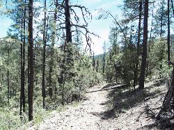
Haigler Canyon Campground
Payson, Arizona
8.1 miles SA 2007-built campground along Haigler Creek with 14 overnight sites, trout fishing stocked April through late August, and chiseled canyon swimming holes nearby.
Camp, Hike, Swim 
Upper Tonto Creek Campground
Payson, Arizona
8.6 miles WA 9-site first-come-first-served campground at the junction of Tonto and Horton Creeks — with vault toilets, drinking water, and trailheads for Horton Spring and the Highline Trail nearby.
Camp, Hike 1.1-3.5 mi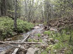
Horton Springs
Payson, Arizona
8.6 miles WA spring on the Mogollon Rim where water emerges dramatically from the mountainside — hike the easy Horton Creek Trail through wildflowers and maples, splash in the cold creek, and camp near the spring.
Backpack, Camp, Hike 
Hell's Gate
Payson, Arizona
11.8 miles SWHellsgate Wilderness hides deep canyon pools possibly separated by impassable falls in a remote 37,000-acre preserve — a true adventure for spring and fall explorers.
Backpack, Camp, Hike, Swim 0.2-0.6 mi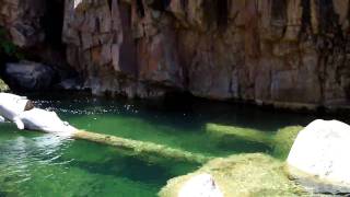
Ellison Creek Falls
Payson, Arizona
19.2 miles WFour waterfalls, multiple swimming holes, and trout fishing along Ellison Creek near Payson — the most popular stop is a short walk from the parking lot.
Dive, Hike, Swim 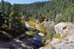
East Clear Creek
Happy Jack, Arizona
19.4 miles NWA Wild and Scenic river winding through the Mogollon Rim with canyon views, cliff-scaling canyoneers, trout fishing, and deep swimming holes for a full adventure day.
Canyoneer, Hike, Swim 0.8-1.8 mi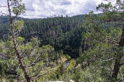
Kinder Crossing Trail #19
Happy Jack, Arizona
19.9 miles NWA short but steep 0.75-mile hike dropping 500 feet to beautiful East Clear Creek — high-clearance vehicle required on FR 95T, no motorized vehicles past the trailhead, closed in winter snow.
Hike, Swim 1.0 mi
Maxwell Trail No. 37
Happy Jack, Arizona
30.0 miles NWMaxwell Trail drops from the Mogollon Rim down into West Clear Creek, ending at shaded swimming holes, small caves, and great fishing — water shoes required.
Hike, Swim 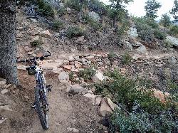
Bearfoot Trail
Strawberry, Arizona
31.1 miles WBearfoot Trail (#13) is a mellow, shady Mogollon Rim hike and mountain-bike ride linking Strawberry to Pine Creek, near Pine, Arizona.
Hike, Mountain Bike 0.6-2.9 mi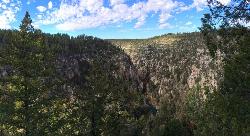
Tramway Trail No. 32
Happy Jack, Arizona
31.2 miles NWA steep, rock-scrambling descent through the Mogollon Rim to West Clear Creek, with deep fishing and swimming holes waiting at the bottom — not for beginners.
Hike, Rock Climb, Swim 1.1-4.6 mi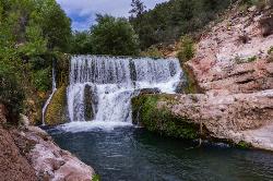
Fossil Creek Dam (Toilet Bowl)
Pine, Arizona
35.9 miles WA waterfall over an old Fossil Creek dam with a spinning natural rock slide that launches swimmers into the main pool — plus a shallow cave for shade on hot Arizona days.
Dive, Hike, Swim 0.1-3.8 mi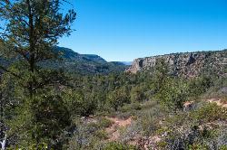
Fossil Springs Trail No. 18
Pine, Arizona
35.9 miles WA 4.75-mile desert canyon trail to the springs and an old dam in the Fossil Springs Wilderness — little shade and a brutal uphill return make summer visits genuinely dangerous.
Hike, Horseback, Swim 1.1 mi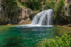
Fossil Creek Waterfall
Pine, Arizona
38.4 miles WOne of Arizona's two Wild and Scenic rivers, with a short hike from a dirt-road parking area to a deep pool at the base of the falls — watch for snakes on the trail.
Hike, SwimNearby Campsites

Aspen Campground
Payson, Arizona
0.6 miles SA large, popular campground near Woods Canyon Lake in the Apache-Sitgreaves National Forest — note that Rim Road closes in winter, so the site is inaccessible during that time.
Camp
Sinkhole Campground
Payson, Arizona
3.9 miles SESinkhole Campground sits in cool ponderosa pines atop the Mogollon Rim, a short walk from the trout waters of Willow Springs Lake.
Camp, Hike, Mountain Bike 1.1 mi
Christopher Creek Campground
Payson, Arizona
5.6 miles WA creekside campground east of Payson with swimming holes, small waterfalls, spring trout stocking, and cross-country skiing in winter — open for day-use and overnight camping spring through fall.
Camp, Canyoneer, Cross-country Ski, Hike, Swim
Haigler Canyon Campground
Payson, Arizona
8.1 miles SA 2007-built campground along Haigler Creek with 14 overnight sites, trout fishing stocked April through late August, and chiseled canyon swimming holes nearby.
Camp, Hike, Swim
Upper Tonto Creek Campground
Payson, Arizona
8.6 miles WA 9-site first-come-first-served campground at the junction of Tonto and Horton Creeks — with vault toilets, drinking water, and trailheads for Horton Spring and the Highline Trail nearby.
Camp, Hike 1.1-3.5 mi
Horton Springs
Payson, Arizona
8.6 miles WA spring on the Mogollon Rim where water emerges dramatically from the mountainside — hike the easy Horton Creek Trail through wildflowers and maples, splash in the cold creek, and camp near the spring.
Backpack, Camp, Hike
Hell's Gate
Payson, Arizona
11.8 miles SWHellsgate Wilderness hides deep canyon pools possibly separated by impassable falls in a remote 37,000-acre preserve — a true adventure for spring and fall explorers.
Backpack, Camp, Hike, Swim 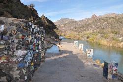
Verde Hot Springs
Camp Verde, Arizona
42.9 miles WNatural hot spring pools beside the Verde River — the remnants of an old resort — reached by wading upstream from a dispersed camping area with no amenities near Sedona.
Camp, Hike, Hot Springs 
McHood Park Clear Creek Reservoir
Winslow, Arizona
46.9 miles NA canyon reservoir near Winslow for kayaking, swimming, fishing, and canyon rock climbing — paddle nearly 3 miles upstream.
Camp, Canoe, Canyoneer, Kayak, Rock Climb, Swim 0.4 mi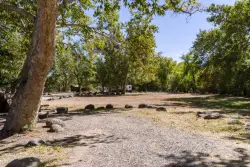
Clear Creek Campground
Camp Verde, Arizona
48.4 miles WA grassy creekside campground shaded by tall cottonwoods on West Clear Creek — ideal for hiking, swimming, fishing for smallmouth bass and sunfish, and wildlife watching in a desert canyon oasis.
Camp, Hike, Swim 
Beaver Creek Campground
Camp Verde, Arizona
49.4 miles NWBeaver Creek is a refreshing creekside oasis in the high desert of central Arizona, where the cool, clear waters of Wet Beaver Creek wind beneath big cottonwoods and sycamores in the Coconino...
Camp, Canoe, Kayak, Swim


