


108 Things to do near Camp Verde, AZ 86322
first prev 1 2 3 4 5 6 next lastShowing results within 50 miles Distance miles of Camp Verde, AZ 86322, USA City, Zip, or Address
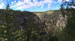
Tramway Trail No. 32
Happy Jack, Arizona
24.6 miles EA steep, rock-scrambling descent through the Mogollon Rim to West Clear Creek, with deep fishing and swimming holes waiting at the bottom — not for beginners.
Hike, Rock Climb, Swim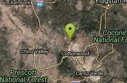
Sycamore Canyon
Sedona, Arizona
25.1 miles NWA pleasant 3.5-mile round-trip canyon hike along a perennial stream to several swimming holes — bathing suits may be optional at the more distant pools in Sycamore Canyon.
Swim 1.0 mi

Maxwell Trail No. 37
Happy Jack, Arizona
26.1 miles EMaxwell Trail drops from the Mogollon Rim down into West Clear Creek, ending at shaded swimming holes, small caves, and great fishing — water shoes required.
Hike, Swim 0.3 mi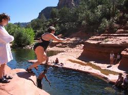
Slide Rock
Sedona, Arizona
26.9 miles NAn 80-foot-long natural waterslide lined with algae on Oak Creek — named one of America's Top Ten Swimming Holes, inside a 43-acre historic apple farm homestead in a stunning red rock canyon.
Hike, Swim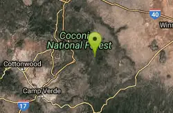
Arizona Trail: Gooseberry Springs to Blueridge
Happy Jack, Arizona
29.8 miles NEA singletrack-and-dirt-road route along the Arizona Trail corridor, winding south through open terrain with AZ Trail markers guiding the way to Highway 87 at Blue Ridge Campground.
Mountain Bike
Willard Springs
Sedona, Arizona
30.4 miles NA network of forest roads near Sedona in rough driving condition with deep ruts and washouts — best suited for mountain bikers comfortable with challenging, unmaintained doubletrack.
Mountain Bike
Lynx Lake
Prescott
30.5 miles WSwimming at this 55 acre Prescott National Forest reservoir has been legal since the forest lifted its long standing closure order in 2020. It sits in ponderosa pine at about 5,530 feet five miles east of Prescott, with a 2.3 mile shoreline loop, gold pan
Camp, Canoe, Hike, Kayak, Swim 0.1-0.7 mi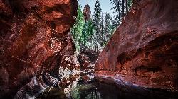
Cave Springs
Sedona, Arizona
30.6 miles NAn 84-site campground on Oak Creek in Sedona's canyon, with picnic tables and natural tree shade, close to Slide Rock, swimming holes, and the Coconino National Forest.
Camp, Hike, Swim 1.0 mi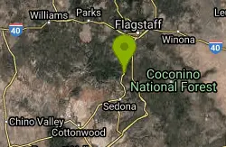
Harding Springs Trail
Sedona, Arizona
30.9 miles NA mostly shaded, gradual climb to Oak Creek Canyon's rim along a historic cattle drive route — with rest stops along the way and the option to continue north or south at the top.
Hike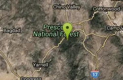
School House Gulch
Prescott, Arizona
34.1 miles WPines and oaks at 6,000 feet with tight lines, long drives, and plenty of elevation — targets are marked trees, and the map is 80% accurate post-2006 logging.
Disc Golf
Mike Fann Skatepark
Prescott, Arizona
34.5 miles WA free community skate park inside Ken Lindley Park in Prescott for skateboards, in-line skates, and bikes of all skill levels — protective equipment recommended and no motorized vehicles allowed.
Skateboard 0.2-0.6 mi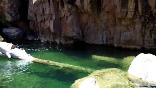
Ellison Creek Falls
Payson, Arizona
35.7 miles SEFour waterfalls, multiple swimming holes, and trout fishing along Ellison Creek near Payson — the most popular stop is a short walk from the parking lot.
Dive, Hike, Swim 0.1-7.8 mi
Wolf Creek Falls
Prescott, Arizona
35.7 miles WSix miles of trails, two campgrounds, and a 90-foot waterfall that roars in spring storms and glitters as a frozen cascade in winter — Wolf Creek Falls is dramatic in every season.
Camp, Hike, Swim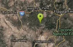
Round Mountain Loop
Williams, Arizona
35.9 miles NA forest road ride through virtually every type of ponderosa pine habitat on the south Kaibab — ups, downs, fun curves, rocky creek dips, and wildlife watching around every bend.
Mountain Bike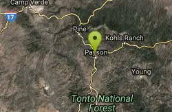
Rumsey Park
Payson, Arizona
37.1 miles SEA 9-basket dual-tee disc golf course in Payson with dirt tees and no signs — bring the map to navigate this understated but playable layout.
Disc Golf
Black Canyon Trail - Little Pan Loop
Black Canyon City, Arizona
39.2 miles SWA 24-mile lollipop singletrack segment of the future 79-mile Black Canyon National Recreation Trail, with four Agua Fria River crossings, tight switchbacks, and big views — carry plenty of water, as the terrain takes longer than expected.
Mountain Bike
Black Canyon Trail
Black Canyon City, Arizona
39.3 miles SWA 6.5-mile Little Pan Loop descending to the Agua Fria River, accessible from the Table Mesa trailhead on the Black Canyon Trail — part of a 62-mile trail system.
Mountain Bike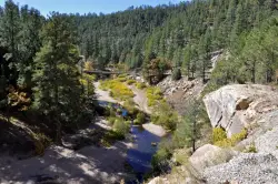
East Clear Creek
Happy Jack, Arizona
39.4 miles EA Wild and Scenic river winding through the Mogollon Rim with canyon views, cliff-scaling canyoneers, trout fishing, and deep swimming holes for a full adventure day.
Canyoneer, Hike, Swim 0.8-1.8 mi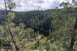
Kinder Crossing Trail #19
Happy Jack, Arizona
40.1 miles EA short but steep 0.75-mile hike dropping 500 feet to beautiful East Clear Creek — high-clearance vehicle required on FR 95T, no motorized vehicles past the trailhead, closed in winter snow.
Hike, Swim 3.9 mi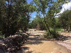
Cave Creek Swimming Hole
Cave Creek, Arizona
40.9 miles SA refreshing desert swimming hole at the end of nearly four miles of Cave Creek Trail — worth the cactus-country hike for the cool pool waiting in the shade.
Hike, Swim


