


Lynx Lake
Prescott
Camp, Canoe, Hike, Kayak, and Swim
Swimming at Lynx Lake is allowed, and that is worth stating plainly because it was not always true. For decades the Prescott National Forest held a closure order barring swimming in every lake it manages. The forest rescinded that order at the end of August 2020, and the current Forest Service water activities page lists Lynx alongside Granite Basin, Horsethief Basin and Mingus as open to swimmers. What you will not find is a designated beach, a roped swim area or a lifeguard. Getting in means walking off the shoreline and sharing the water with anglers and small boats, so pick a cove away from the docks and the fishing lines.
The lake is a 55 acre reservoir on Lynx Creek, roughly five miles east of Prescott in the Bradshaw Mountains at about 5,530 feet. The Arizona Game and Fish Department finished the dam in 1963, and the pool behind it averages around 40 feet deep. The elevation is the whole appeal in summer. Ponderosa pine runs right down to the water, the air sits well below what the desert is doing, and the shoreline breaks into coves rather than one open bowl.
Getting there is simple. From Prescott, head east on Highway 69 and turn south on Walker Road by the Costco. The Lynx Creek Gold Pan Day Use Area comes up around 1.5 miles in, the North Shore turnoff around 2 miles, and Lynx Campground around 3 miles. North Shore and South Shore both have paved parking, picnic tables, grills and toilets. The U.S. Forest Service charges $5 per vehicle per day at the day use areas, paid by cash, check or card at the information boards on either shore. A four month pass runs $20 and an annual pass $40, and Wednesdays are free. One payment covers every day use site on the Prescott National Forest for that day.
Lynx Recreation Trail 311 rings the lake in about 2.3 miles. The west shore leg between the two picnic areas is paved and nearly flat. The east side narrows to a dirt footpath over roots and rock, and it closes some winters while bald eagles nest. Ospreys work the water in summer. Fishing is the other draw, with rainbow trout stocked by Arizona Game and Fish plus largemouth bass, crappie, sunfish and channel catfish. Boats are held to a single electric motor or one gas engine of 10 horsepower or less, which keeps the surface calm enough to swim or paddle across. The store and marina on the north shore rents kayaks, canoes and small boats.
Lynx Creek carries the other half of the story. Gold turned up here in 1863 and the creek and its feeder gulches went on to produce some of the richest placer gold in Arizona. More than four miles of it are withdrawn from mineral entry, so recreational panners can work the gravel without crossing a private claim. The Gold Pan Day Use Area charges nothing and runs on seasonal hours. Digging stays below the high water mark of the channel, and every hole gets filled before you leave.
Three campgrounds sit around the lake. Lynx Campground has 35 single sites at $18 a night and four doubles at $36, open April through October, with Hilltop and the Eagle Ridge group site nearby. Water level swings hard from year to year and the Forest Service has closed the boat ramp outright in low seasons, so check the forest alerts before you plan a trip around launching anything.
More Information
Lynx Campground, Prescott National Forest - Recreation.gov
Explore Lynx Campground in Prescott National Forest, Arizona with Recreation.gov. Lynx Campground is located in the Lynx Lake Recreation Area at 5,600 feet in elevation. Within 1/4 mile of the popular Lynx Lake, the campground is situated al
https://www.recreation.gov/camping/campgrounds/234762Prescott National Forest to Allow Swimming in Forest Lakes - Signals AZ
The Prescott National Forest manages 4 lakes across the forest; Lynx, Granite Basin, and Horsethief Basin Lakes on the Bradshaw Ranger District and Mingus Lake on the Verde Ranger District. by Lynda Eyler, Lynx Lake, Prescott. Though the Prescott National Forest closed all lakes to swimming several years ago, the closure order prohibiting swimming was Prescott National Forest to Allow Swimming in Forest Lakes
https://www.signalsaz.com/articles/prescott-national-forest-to-allow-swimming-in-forest-lakes/Prescott National Forest | Hilltop Campground | Forest Service
Located in the Lynx Lake Recreation Area. This campground is located in the ponderosa pine forest about 0.5 mile directly south of Lynx Lake. The campsites provided are generally large enough to accommodate most recreational vehicles under 40 feet in length. A host is available to provide information and assist visitors to locate a suitable camping site. View photos on Flickr Lynx Lake Recreation Area Brochure Facilities:38 campsites with picnic tables, and grillsDrinking water5 vault toiletsGarbage serviceRVs:Maximum vehicle length 40'No RV hook-upsFilling RV water tanks is not permitted.
https://www.fs.usda.gov/r03/prescott/recreation/hilltop-campgroundPrescott National Forest | Lynx Campground | Forest Service
Located in the Lynx Lake Recreation Area. Lynx Lake is one of the most popular recreation spots in central Arizona on the Bradshaw Ranger District. More than 90,000 people visit each year! Mild weather, the cool ponderosa pine forest, a serene 55-acre lake, trout fishing, boating, hiking, mountain biking, horseback riding, gold panning, archaeological sites, and bird watching attract visitors from throughout Arizona, and bring them back again and again.Lynx Lake Recreation Area BrochureView photos on Flickr Facilities:35 campsites with picnic table, fire rings, and grills4 double campsites with picnic table, fire rings, and grills4 vault toilets2 flush toiletsDrinking waterGarbage serviceRVs:Maximum vehicle length varies by site from 22-35 feetNo RV hook-upsFilling RV water tanks is not permitted.
https://www.fs.usda.gov/r03/prescott/recreation/lynx-campgroundPrescott National Forest | Lynx Creek Gold Pan Day Use Area | Forest Service
This day use area is primarily used for recreational gold panning. Please visit Rockhounding, Prospecting & Mining on Prescott National Forest for more information including maps and other online and printable resources. Lynx Lake Recreation Area Brochure Facilities:Vault toiletsNo picnic tablesNo fire pitsNo drinking waterNo garbage service - Please pack it out
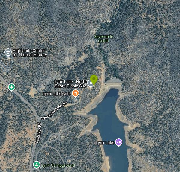
https://www.fs.usda.gov/r03/prescott/recreation/lynx-creek-gold-pan-day-use-areaPrescott National Forest | Lynx Lake - North Shore Picnic Site | Forest Service
At 55-acres, Lynx Lake is the largest--and busiest--lake on the Prescott National Forest. Lynx Lake North Shore Day-use Area provides lake-side recreation, fishing, picnic tables and grills, a wildlife viewing scope, and interpretive signs. Lynx Lake is periodically stocked with trout by the Arizona Game and Fish Department. A valid fishing or combination license is required for resident and non-resident anglers 10 years of age or older fishing any publicly accessible water in Arizona.Visit the AZGFD Fishing webpage for more information about fish stocking schedules, licensing, where to fish and more: https://www.azgfd.com/fishing-2/Lynx Lake Recreation Area BrochureView photos on Flickr Facilities:12 picnic tablesFire pit/grillWildlife viewing scopeDrinking water (seasonally, May - October)Flush toilets temporarily closed for repairs. Porta potties are available until repairs are completed.Garbage service
https://www.fs.usda.gov/r03/prescott/recreation/lynx-lake-north-shore-picnic-sitePrescott National Forest | Rocks & Minerals | Forest Service
An official website of the United States government
https://www.fs.usda.gov/r03/prescott/recreation/rocks-mineralsPrescott National Forest | Water Activities | Forest Service
Enjoy recreational activities on the Forest’s lakes and the Verde River!
https://www.fs.usda.gov/r03/prescott/recreation/opportunities/water-activitiesPRESCOTTBRADSHAW RANGER DISTRICTLYNX LAKERECREATIONAREA
Camping is permitted only in designated campsites. All campsites have fire rings and grills. Fires are permitted only in grills or designated fire rings. Campgrounds do not have RV hookups or sanitary dump stations. Quiet hours are p.m.– a.m.
https://www.fs.usda.gov/sites/nfs/files/r03/prescott/publication/LynxLake_Brochure_Print_Ready.pdfBe courteous, informed, and prepared. Read trailhead guidelines, stay on the trail, and don't feed the wildlife.
Read More
- Plan Ahead and Prepare
- Travel & camp on durable surfaces
- Dispose of waste properly
- Leave what you find
- Minimize campfire impacts
- Respect wildlife
- Be considerate of other visitors
Directions
From Prescott
- Head south toward E Goodwin St (23 ft)
- Turn left onto E Goodwin St (0.2 mi)
- Turn left onto S Pleasant St (0.1 mi)
- Turn right onto E Gurley St (0.7 mi)
- Continue straight to stay on E Gurley St (0.2 mi)
- Keep right to continue on AZ-69 S (3.0 mi)
- Turn right onto S Walker Rd (2.2 mi)
- Turn left onto Lynx Lake Store RdDestination will be on the right(0.3 mi)
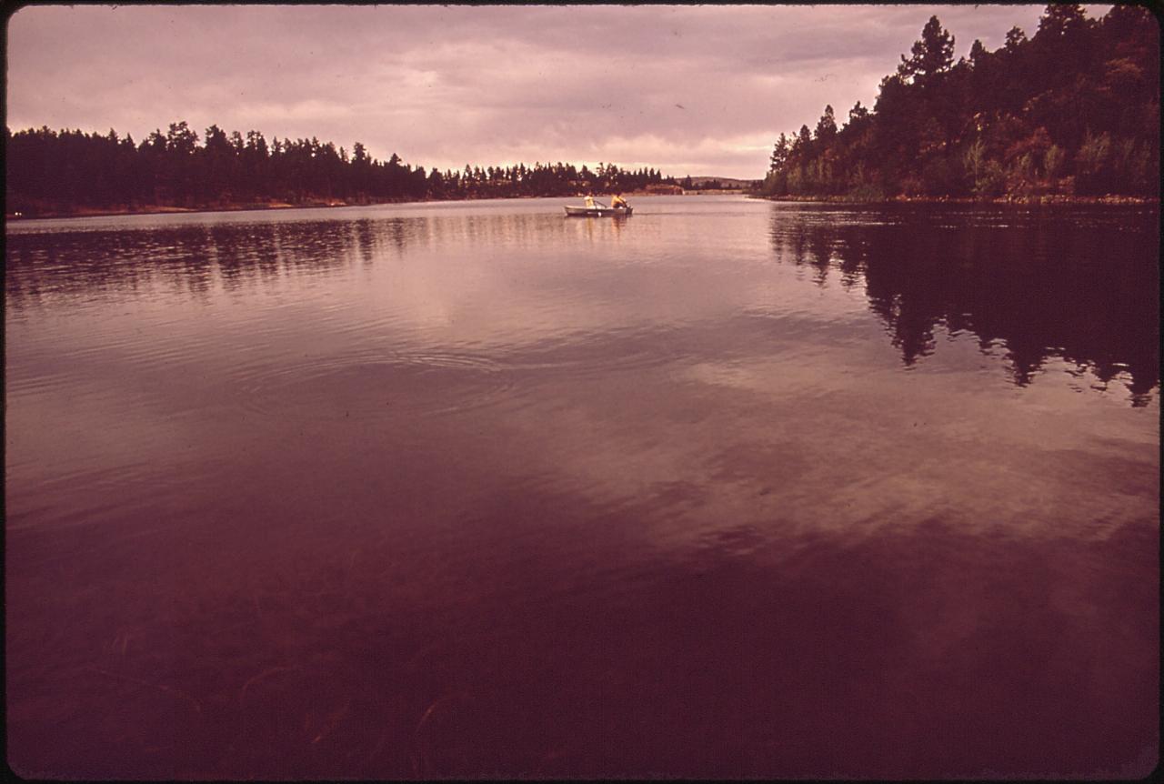
 Lynx Lake photographed for the National Archives, showing the reservoir hemmed in by ponderosa pine.
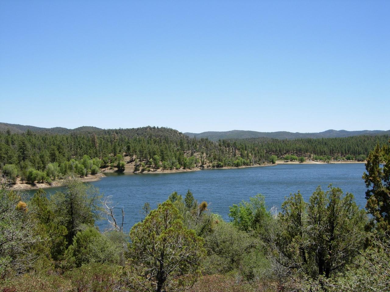
 Open water and wooded shoreline at Lynx Lake in the Bradshaw Mountains southeast of Prescott. courtesy of Benjamin Cody↗ (CC BY-SA 3.0↗)
 The North Shore picnic area, one of the two fee day-use sites on the lake. courtesy of Prescott NF↗ (Public Domain Mark↗)
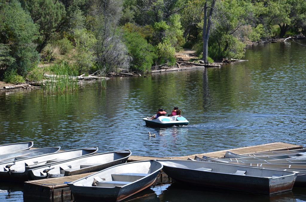
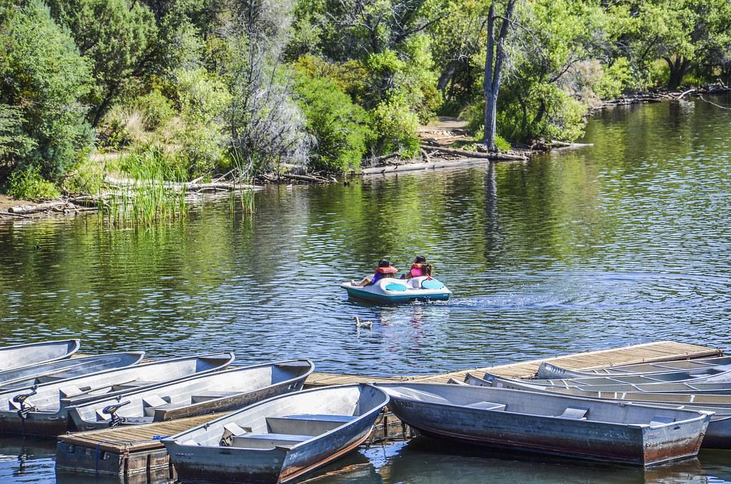
 Rental boats tied up at the Lynx Lake North Shore, where the store and marina hires out kayaks and c courtesy of Prescott NF↗ (Public Domain Mark↗)
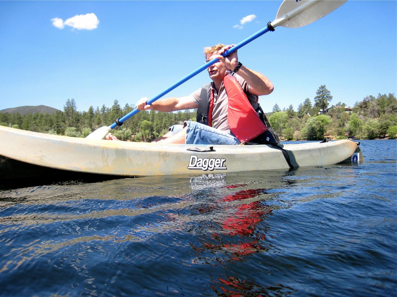
 Paddling on Lynx Lake, where motors are capped at 10 horsepower and the water stays calm. courtesy of cogdogblog↗ (CC0↗)
 Autumn colour on the South Shore of Lynx Lake. courtesy of Prescott NF↗ (Public Domain Mark↗)
Other Swimming Holes, Hiking Trails, Canoeing Areas, and Kayaking Areas Nearby

Wolf Creek Falls
Prescott, Arizona
6.5 miles SWSix miles of trails, two campgrounds, and a 90-foot waterfall that roars in spring storms and glitters as a frozen cascade in winter — Wolf Creek Falls is dramatic in every season.
Camp, Hike, Swim
Sycamore Canyon
Sedona, Arizona
30.6 miles NEA pleasant 3.5-mile round-trip canyon hike along a perennial stream to several swimming holes — bathing suits may be optional at the more distant pools in Sycamore Canyon.
Swim 3.7 mi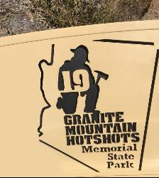
Granite Mountain Hotshots Memorial
Yarnell, Arizona
31.3 miles SWA solemn 3/4-mile journey trail following the last steps of the 19 Granite Mountain Hotshots to their fatality site, with 19 gabions united by chains and a tribute wall for leaving mementos.
Hike 0.2 mi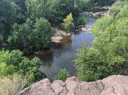
Mormons Crossing
Cornville, Arizona
31.8 miles NEShaded swimming holes, gentle rapids, and a rope swing along Oak Creek — an easy spot to cool off in Cornville.
Swim 0.4 mi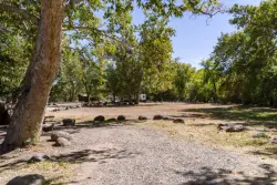
Clear Creek Campground
Camp Verde, Arizona
35.3 miles EA grassy creekside campground shaded by tall cottonwoods on West Clear Creek — ideal for hiking, swimming, fishing for smallmouth bass and sunfish, and wildlife watching in a desert canyon oasis.
Camp, Hike, Swim 8.4 mi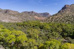
West Clear Creek Trail No. 17
Camp Verde, Arizona
38.7 miles EWest Clear Creek Trail winds down a shaded canyon to cool creek swimming, fishing, and dispersed camping — bring wading shoes, because wet feet are guaranteed.
Backpack, Hike, Swim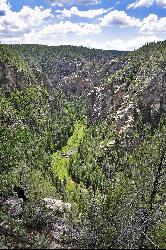
Bullpen Day Use Area
Camp Verde, Arizona
38.7 miles EA big red jumping rock on West Clear Creek, shaded picnic areas, and trails down a stunning canyon below the Mogollon Rim — a full afternoon of swimming and hiking.
Backpack, Dive, Hike, Swim 3.0 mi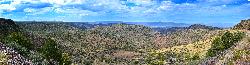
Blodgett Basin Trail No. 31
Camp Verde, Arizona
38.9 miles EA 3-mile riparian canyon trail through West Clear Creek Wilderness with 1,700 feet of elevation change, fishing, camping, and wading in a desert oasis — expect to get your feet wet.
Backpack, Hike, Swim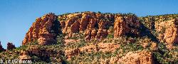
Red Rock State Park
Sedona, Arizona
38.9 miles NERed Rock's crimson sandstone layers tell 275 million years of geologic history — from ancient beachfronts to sand dunes to shallow seas — and inspired an art migration that fills the area with museums and galleries today.
Hike, Swim
Beaver Creek Campground
Camp Verde, Arizona
39.6 miles EBeaver Creek is a refreshing creekside oasis in the high desert of central Arizona, where the cool, clear waters of Wet Beaver Creek wind beneath big cottonwoods and sycamores in the Coconino...
Camp, Canoe, Kayak, Swim 7.1 mi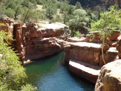
The Crack at Wet Beaver Creek
Rimrock, Arizona
39.6 miles ECrystal-clear water and cliffs high enough to jump from, about 3.5 miles down Bell Trail along Wet Beaver Creek — a rewarding desert hike to a stunning red-rock swimming hole.
Dive, Hike, Horseback, Swim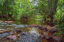
Chavez Crossing
Sedona, Arizona
41.1 miles NEA campground on Oak Creek in Sedona's red-rock canyon, perfectly placed for cool water play, sunsets over Munds Mountain, and access to nearby swimming holes.
Camp, Hike, Swim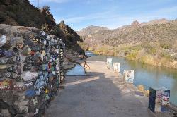
Verde Hot Springs
Camp Verde, Arizona
41.1 miles ENatural hot spring pools beside the Verde River — the remnants of an old resort — reached by wading upstream from a dispersed camping area with no amenities near Sedona.
Camp, Hike, Hot Springs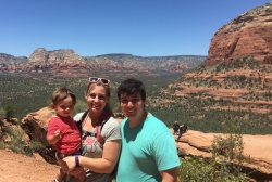
Devil's Bridge
Sedona, Arizona
41.9 miles NEA 3.6-mile round-trip trail in Sedona to the breathtaking Devil's Bridge rock arch — rocky and sandy with a steep final mile, stunning red rock views, and very popular on weekends.
Hike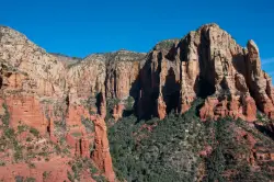
Brins Mesa Trail
Sedona, Arizona
42.6 miles NEAn open-mesa hike through red rock towers and formations in Coconino National Forest just outside Sedona — unobstructed desert views that intensify with summer heat, so bring plenty of water.
Hike 3.0 mi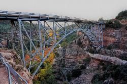
Huckaby Trail
Sedona, Arizona
43.3 miles NEA 3-mile Sedona trail through Arizona Sycamores and striking Red Rock formations — crossing Oak Creek at the bottom where you can take a dip, with a boulder passage and optional mountain bike cruise on the other side.
Canoe, Hike, Mountain Bike
Midgley Bridge Trail
Sedona, Arizona
44.4 miles NEHike near Sedona, Arizona
Hike
Wilson Mountain Trail
Sedona, Arizona
44.4 miles NEHike near Sedona, Arizona
Hike 1.1 mi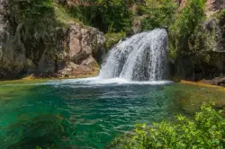
Fossil Creek Waterfall
Pine, Arizona
44.8 miles EOne of Arizona's two Wild and Scenic rivers, with a short hike from a dirt-road parking area to a deep pool at the base of the falls — watch for snakes on the trail.
Hike, Swim 3.4 mi
Grasshopper Point
Sedona, Arizona
44.9 miles NECrimson red rock walls frame a teal swimming hole in Oak Creek Canyon — with multiple cliff jumping spots, picnic tables, restrooms, and access via Allen's Bend and the Huckaby Trail.
Dive, Hike, SwimNearby Campsites
Wolf Creek Falls
Prescott, Arizona
6.5 miles SWSix miles of trails, two campgrounds, and a 90-foot waterfall that roars in spring storms and glitters as a frozen cascade in winter — Wolf Creek Falls is dramatic in every season.
Camp, Hike, Swim 0.4 mi
Clear Creek Campground
Camp Verde, Arizona
35.3 miles EA grassy creekside campground shaded by tall cottonwoods on West Clear Creek — ideal for hiking, swimming, fishing for smallmouth bass and sunfish, and wildlife watching in a desert canyon oasis.
Camp, Hike, Swim
Beaver Creek Dispersed Camping
Rimrock, Arizona
38.8 miles EThis free dispersed camping area sits on the cliffs above Wet Beaver Creek in the Coconino National Forest of central Arizona, in the red-rock and juniper country near Rimrock and Camp Verde, not far...
Camp
Beaver Creek Campground
Camp Verde, Arizona
39.6 miles EBeaver Creek is a refreshing creekside oasis in the high desert of central Arizona, where the cool, clear waters of Wet Beaver Creek wind beneath big cottonwoods and sycamores in the Coconino...
Camp, Canoe, Kayak, Swim
Chavez Crossing
Sedona, Arizona
41.1 miles NEA campground on Oak Creek in Sedona's red-rock canyon, perfectly placed for cool water play, sunsets over Munds Mountain, and access to nearby swimming holes.
Camp, Hike, Swim
Verde Hot Springs
Camp Verde, Arizona
41.1 miles ENatural hot spring pools beside the Verde River — the remnants of an old resort — reached by wading upstream from a dispersed camping area with no amenities near Sedona.
Camp, Hike, Hot Springs 0.1-0.7 mi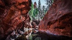
Cave Springs
Sedona, Arizona
49.1 miles NEAn 84-site campground on Oak Creek in Sedona's canyon, with picnic tables and natural tree shade, close to Slide Rock, swimming holes, and the Coconino National Forest.
Camp, Hike, Swim


