


Twin Lakes State Park
Green Bay
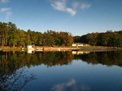
Camp, Canoe, Hike, Kayak, and Swim
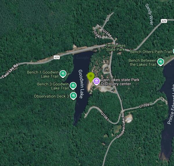
Twin Lakes State Park sits in the Piedmont farm country of Prince Edward County, about an hour southwest of Richmond and a few minutes off US 360. The park holds two lakes, and only one of them is legal to swim in. Goodwin Lake, the smaller at fifteen acres, has the designated swimming area. Prince Edward Lake, thirty-six acres, is open to fishing and paddling but not to swimmers. Swimming anywhere else in the park is prohibited.
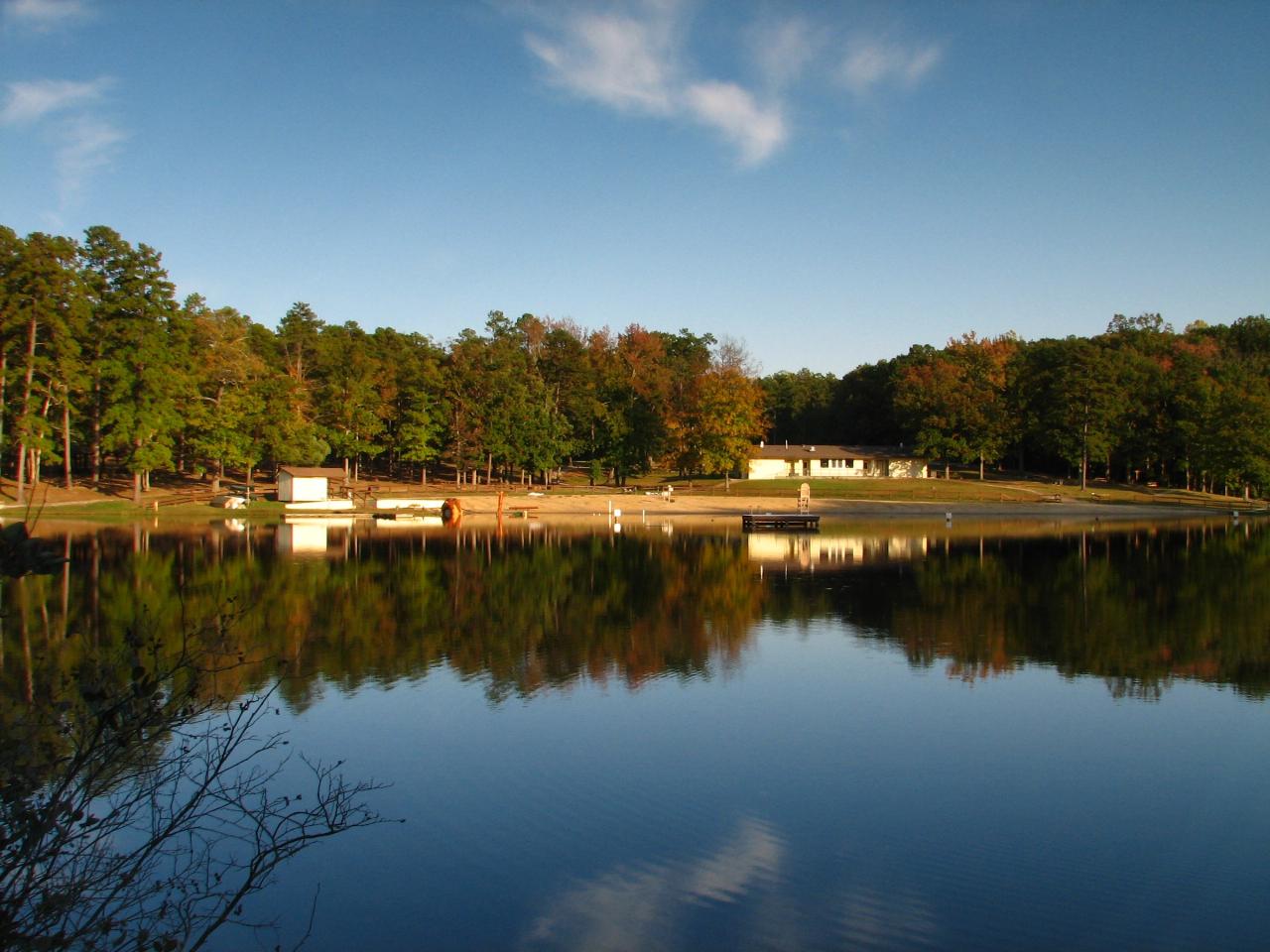
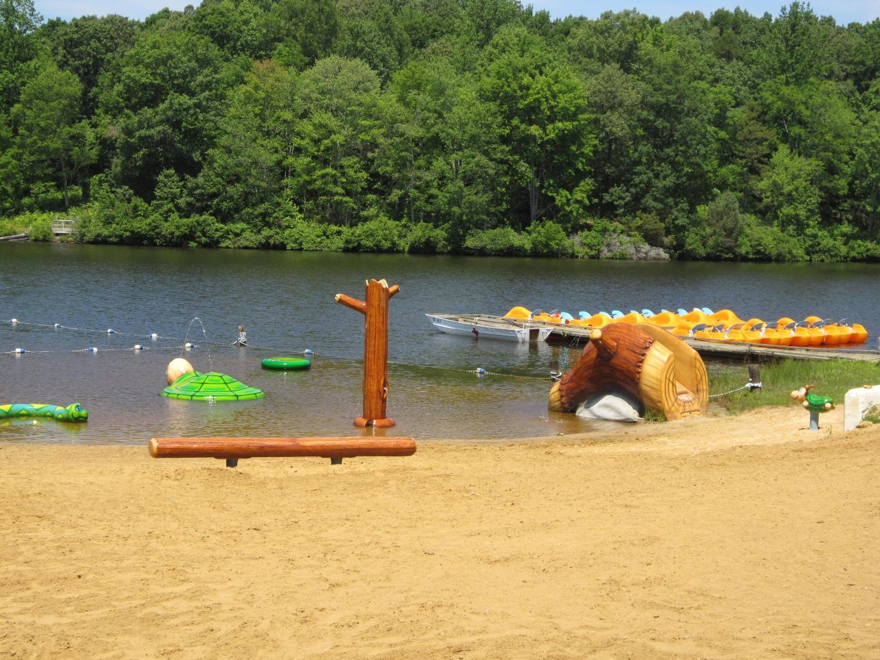
The beach is a sand crescent on Goodwin Lake's eastern shore with the Discovery Center standing directly behind it and a separate roped children's area at the north end. This is a dammed Piedmont lake rather than a spring or a mountain river, so plan on warm, still, dark water in midsummer instead of anything clear or cold. Grass carp have been stocked in both lakes to hold the aquatic vegetation down, which keeps the swimming area reasonably clear of weeds. A fishing pier sits off the south end of the sand and a kayak launch off the north end.
Swimming is free and unguarded, year round. Virginia charges beach swimming fees only where a lifeguard is on duty, and this beach has none in any season, so the only money you spend is seven dollars to park. The rate is flat, weekday or weekend. A boat launch costs three dollars more. Gates open at 7 a.m. and close at dusk. Pay at the contact station or use a self-pay envelope, because an unpaid vehicle earns a twenty-five dollar ticket.
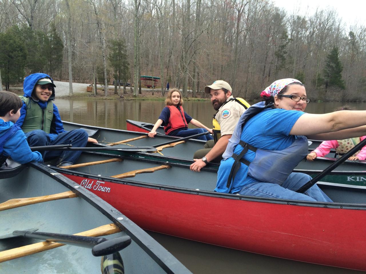
Check what is actually running before you count on it. The concession stand and the boat rentals at the beach are closed until Memorial Day weekend 2027, so there is no snack window and nothing to rent on site. Restrooms, parking, picnic shelters, playgrounds and the launches stay open, cabins rent year round, and the campground runs from early March into December. Both lakes are restricted to electric motors, so the water stays quiet, though boats do share it with you.
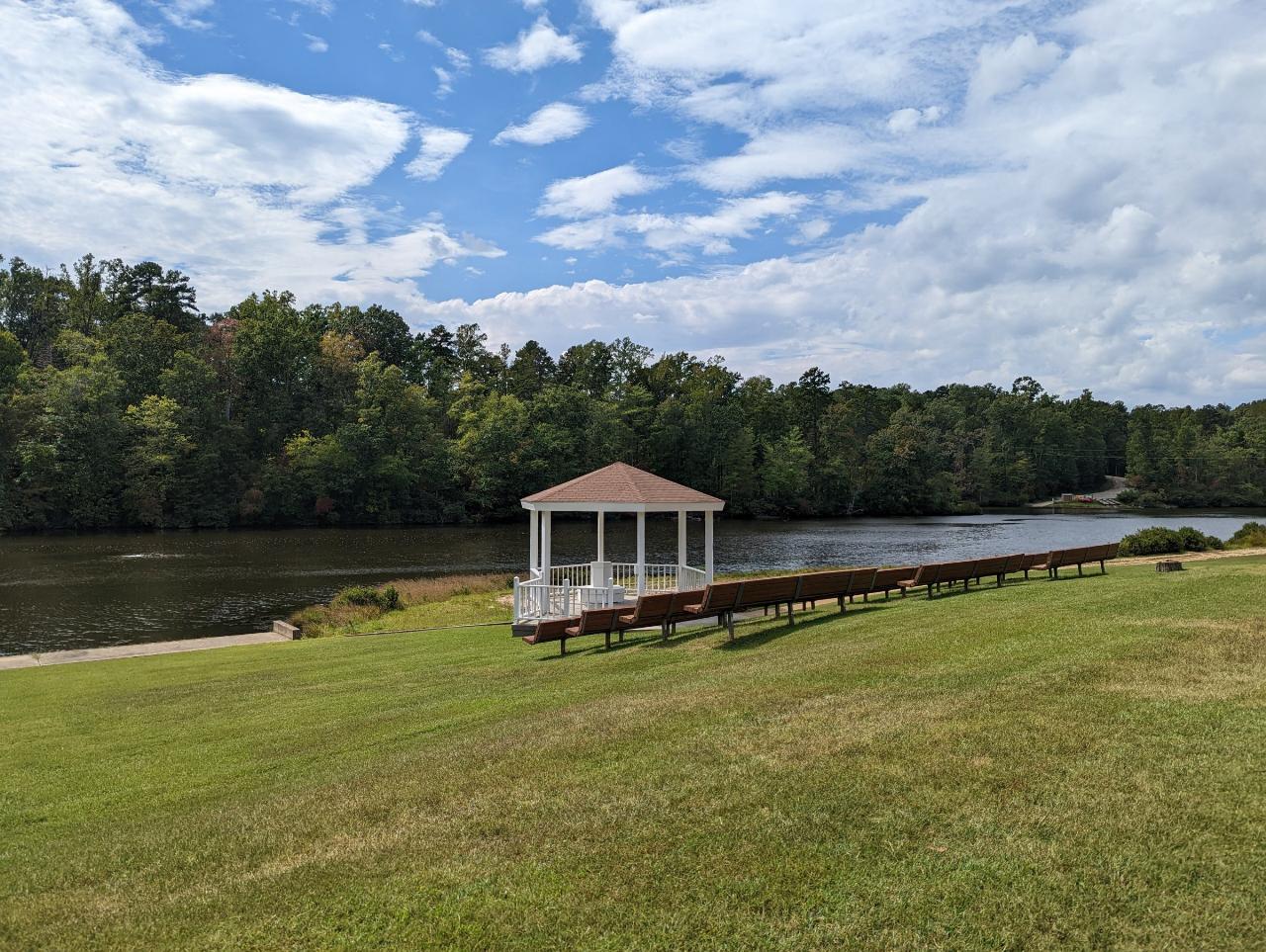
The history is the reason to make the drive. Both dams were built in the 1930s by the 1390th Company of the Civilian Conservation Corps, one of the few Black CCC companies in Virginia, working out of Camp Gallion. Under segregation the two lakes those men built were split by race. Goodwin Lake went to white Virginians. Prince Edward Lake went to Black Virginians and was the only such facility in the entire state. After Danville banker M. Conrad Martin was turned away from Staunton River State Park in 1948 and sued, Virginia upgraded the Prince Edward side into a full state park and opened it in 1950 as Prince Edward State Park for Negroes, the eighth in the system. Edgar Latham, who had lifeguarded there, became the first Black park superintendent in Virginia. By 1966 the place drew as many as 4,000 people a day, with Saturday night dances. The two parks merged in 1976 and took the Twin Lakes name in 1986, and the district is on the National Register of Historic Places. The beach you swim at today was the white park's beach. The Black park's site is now the Cedar Crest Conference Center across the way on Prince Edward Lake.
Fifteen acres is not much lake, and the beach fills on holiday weekends between Memorial Day and Labor Day. Weekday mornings and the shoulder months run close to empty. Six miles of hiking trail run through hardwood forest and around both lakes when you want to dry off on the move.
More Information
Be courteous, informed, and prepared. Read trailhead guidelines, stay on the trail, and don't feed the wildlife.
Read More
- Plan Ahead and Prepare
- Travel & camp on durable surfaces
- Dispose of waste properly
- Leave what you find
- Minimize campfire impacts
- Respect wildlife
- Be considerate of other visitors
Directions
From Green Bay
- Head southeast on E Walnut St toward E Walnut St (0.2 mi)
- Turn left onto N Monroe Ave/
Wisconsin Firefighters and Emergency Medical Technicians Hwy. Continue to follow Wisconsin Firefighters and Emergency Medical Technicians Hwy.(0.7 mi) - Turn left onto Webster Ave (0.9 mi)
- Turn right to merge onto I-43 S (104 mi)
- Keep left to stay on I-43 S (17.2 mi)
- Slight left onto I-94 E (signs for I-41 S/
Chicago) (0.3 mi) - Keep left to stay on I-94 EToll roadEntering Illinois(37.3 mi)
- Keep left to stay on I-94 EToll road(20.6 mi)
- Keep right to continue on I-294 S, follow signs for Indiana - O'HareToll road(20.2 mi)
- Keep left (1.8 mi)
- Continue onto I-294 NToll road(31.8 mi)
- Continue onto I-80 EEntering Indiana(12.9 mi)
- Take exit 11 to merge onto I-65 S toward Indianapolis (130 mi)
- Continue onto I-865 E (0.3 mi)
- Continue onto I-65 S (16.7 mi)
- Take exit 112 to merge onto I-70 E toward Dayton (5.5 mi)
- Keep left to stay on I-70 E (59.5 mi)
- Slight left (4.3 mi)
- Merge onto I-70 EEntering Ohio(37.2 mi)
- Take exit 33A to merge onto I-75 S toward Dayton (8.8 mi)
- Take exit 52 to merge onto US-35 E toward Xenia (13.2 mi)
- Take the US-35 E exit toward Washington C H (0.4 mi)
- Continue onto US-35 E (66.3 mi)
- Keep left to stay on US-35 E, follow signs for US-50 E/
Jackson Entering West Virginia(93.8 mi) - Merge onto I-64 E via the ramp to St. Albans/
Charleston (18.5 mi) - Slight right to stay on I-64 E (signs for Beckley)Toll road(55.0 mi)
- Keep left to continue on I-64 E/
I-77 S (5.2 mi) - Take exit 40 on the left for I-64 E toward Lewisburg (1.5 mi)
- Continue onto I-64 EEntering Virginia(120 mi)
- Keep right to continue on Exit 56, follow signs for I-81 S/
Roanoke and merge onto I-81 S (2.9 mi) - Take exit 188A to merge onto US-60 E toward Buena VistaPass by Hardee's (on the right in 3.9 mi)(30.3 mi)
- At the traffic circle, continue straight to stay on US-60 E (0.5 mi)
- Turn right to merge onto US-29 S toward Lynchburg (14.1 mi)
- Exit onto US-460 E toward AppomattoxPass by Dollar General (on the right in 7.7 mi)(49.6 mi)
- Turn right onto Green Bay Rd (5.2 mi)
- Turn left onto Sandy River Rd (1.6 mi)
- Turn right onto Indian Spg Rd (2.8 mi)
- Slight left onto Twin Lks Rd (0.8 mi)
- Turn right onto Goodwin Lake Rd (0.2 mi)
- Turn right onto U1048 (446 ft)
 The designated swimming beach on Goodwin Lake, with the beach building behind the sand courtesy of vastateparksstaff↗ (CC BY 2.0↗)
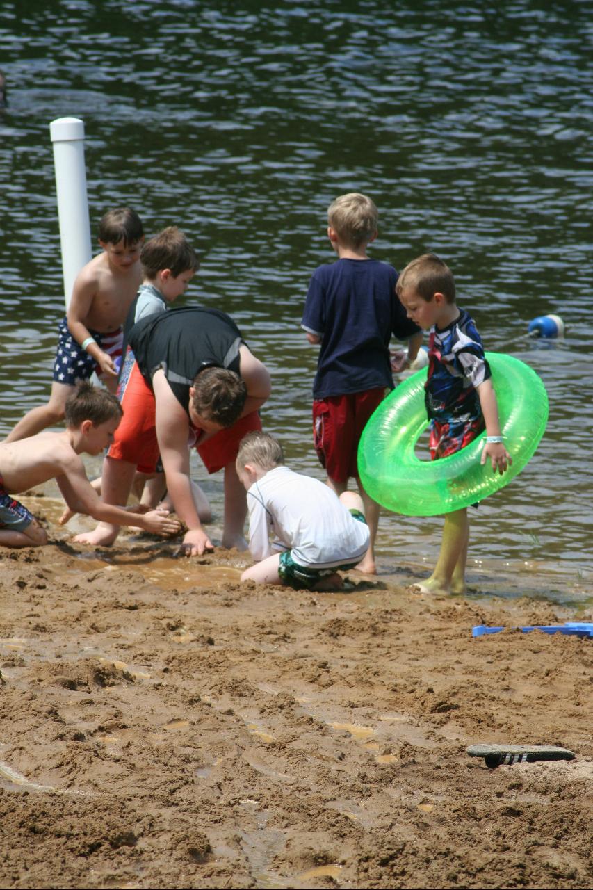
 Swimmers in Goodwin Lake at the start of the summer season courtesy of vastateparksstaff↗ (CC BY 2.0↗)
 The roped children's swim area at the north end of the beach courtesy of Virginia State Parks staff↗ (CC BY 2.0↗)
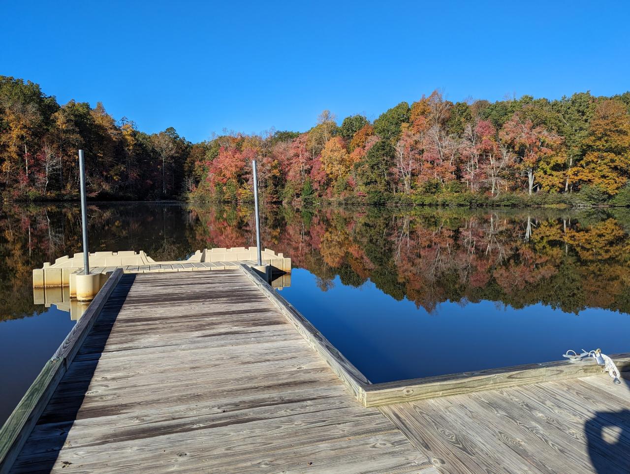
 Goodwin Lake seen from the kayak launch just north of the swimming beach courtesy of vastateparksstaff↗ (CC BY 2.0↗)
 Canoeing on Goodwin Lake, which is limited to electric motors courtesy of vastateparksstaff↗ (CC BY 2.0↗)
 Prince Edward Lake and the gazebo behind Cedar Crest Conference Center, on the site of the former Pr courtesy of vastateparksstaff↗ (CC BY 2.0↗)
Other Swimming Holes, Hiking Trails, Canoeing Areas, and Kayaking Areas Nearby
Nottoway Falls
Crewe, Virginia
11.4 miles SENottoway Falls' wide cascade offers generous swimming space at the base, with parking discreetly available near the boat ramp — water can run low in summer.
Swim
Bear Creek Lake State Park Beach
Cumberland, Virginia
24.5 miles NSand beach on the 40-acre lake at Bear Creek Lake State Park, tucked inside Cumberland State Forest between Richmond and Lynchburg, with camping, cabins and 30 miles of trail.
Camp, Hike, Kayak, Mountain Bike, Swim
Riverside Drive Area
Grottoes, Virginia
48.2 miles NESwim near Grottoes, Virginia
Swim


