


Two Rivers Access
Eminence
Camp, Canoe, Hike, Kayak, and Swim
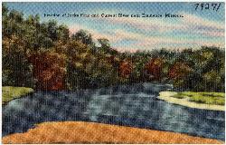
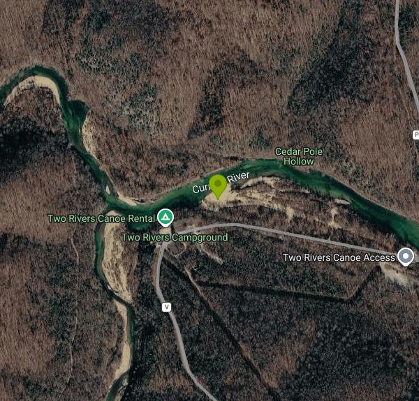
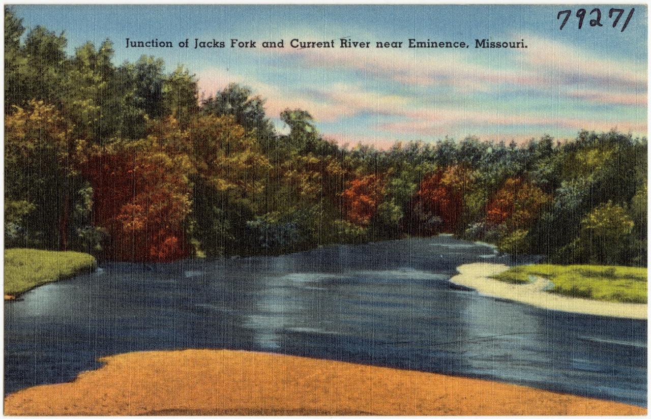
Two Rivers is the National Park Service area at the confluence of the Jacks Fork and the Current River in Ozark National Scenic Riverways, the first national park unit created to protect a river system. Locals long called the spot the Junction, and a river ferry once crossed the Current here into the Blair Creek country. Today the site holds a small campground, a picnic area, two gravel boat launches and a viewing deck, all on the south bank of the Current just below where the Jacks Fork comes in. It sits in Shannon County, roughly 5 miles northeast of Eminence as the crow flies.
From Eminence, take Highway 106 east and turn left onto State Highway V. The road dead-ends at the Two Rivers campground and river access, so there is no way to miss it. Paved parking is near the boat launches, with a restroom at the lower launch that the park lists as wheelchair accessible. The modern restrooms and showers in the campground run from April 15 to October 15, and a vault toilet by the boat launch stays open all year.
Swimming here means wading in from the gravel bars along the Current River. Recreation.gov lists Two Rivers as a swimming site, and the park promotes both rivers for swimming, tubing and floating. The water is spring-fed, so it stays cold and very clear even in midsummer, and the bottom is cobble and gravel rather than sand. Depth changes quickly from ankle-deep riffles to pools over your head, and the current is steady below the confluence. There are no lifeguards. After rain in one watershed but not the other, you can often see a sharp line where a muddy river meets a clear one, which is worth a look from the deck at sunset.
Entry is free. The park states that no entrance pass is required anywhere in Ozark National Scenic Riverways, so walking down to the water to swim, picnic or launch a boat costs nothing. Camping is the exception: the campground has 19 individual sites and 2 cluster sites, reservations go through Recreation.gov, and the nightly fee varies by site and season. In winter Two Rivers switches to backcountry camping with fewer services. There are no posted day-use hours beyond normal park rules, and the area is open year-round.
Watch for boat traffic, since canoes, rafts and tubes launch here all summer and gigging boats work this stretch in fall. Glass bottles are not allowed in tubes or other non-motorized craft. The Current and Jacks Fork rise fast after storms, and the park closes river sections during floods; check the park's alerts page, its Facebook page or call park headquarters at (573) 323-4236 before you go when rain is in the forecast. Water this cold can tire swimmers quickly, so stay close to shore if you are not used to it.
A seasonal concession at Two Rivers rents canoes, kayaks, tubes and rafts, and many float trips on both rivers start or end at these ramps. Horse and hiking trails, including the Two Rivers and Shawnee loops, run through the woods nearby, and Prairie Hollow Gorge is a short drive back along Highway V. Alley Spring and its red mill, Round Spring and Echo Bluff are all within a half hour's drive.
More Information
Developed Campgrounds - Ozark National Scenic Riverways (U.S. National Park Service)
An overview of developed campgrounds within OZAR.
https://www.nps.gov/ozar/planyourvisit/developed-campgrounds.htmRiverways to celebrate the history of Two Rivers junction - Ozark National Scenic Riverways (U.S. Na
Riverways to celebrate the history of Two Rivers junction
https://www.nps.gov/ozar/learn/news/riverways-to-celebrate-the-history-of-two-rivers-junction.htmTwo Rivers, Ozark National Scenic Riverways - Recreation.gov
Explore Two Rivers in Ozark National Scenic Riverways, Missouri with Recreation.gov. In the rolling, forested landscape of Two Rivers, two of America's most beautiful spring-fed rivers combine to make up the Ozark National Scenic Riverways. As
https://www.recreation.gov/camping/campgrounds/234441Be courteous, informed, and prepared. Read trailhead guidelines, stay on the trail, and don't feed the wildlife.
Read More
- Plan Ahead and Prepare
- Travel & camp on durable surfaces
- Dispose of waste properly
- Leave what you find
- Minimize campfire impacts
- Respect wildlife
- Be considerate of other visitors
Directions
From Eminence
- Head east on Walters Rd toward IN-42 E (13 ft)
- Turn left onto IN-42 E (1.5 mi)
- Turn left to stay on IN-42 E (1.2 mi)
- Turn right to stay on IN-42 E (1.2 mi)
- Turn left onto County Rd 1100 W/
N Little Point Rd (0.5 mi) - Turn left to merge onto I-70 WEntering Illinois(114 mi)
- Keep right to stay on I-70 W, follow signs for St Louis (76.9 mi)
- Take the exit onto I-55 S/
I-70 W toward St Louis (16.7 mi) - Keep left to continue on I-55 SEntering Missouri(3.4 mi)
- Take exit 40B to merge onto I-44 W/
I-55 S (1.3 mi) - Keep left to continue on I-55 S (33.3 mi)
- Take exit 174B toward US 67/
Bonne Terre/ Farmington (0.2 mi) - Take the ramp onto US-67 S/
U.S. Hwy 67 S (0.5 mi) - Slight right (0.7 mi)
- Merge onto U.S. Hwy 67 S (28.7 mi)
- Take the MO-32 W exit toward Leadington/
Park Hills (0.2 mi) - Turn right onto MO-32 W/
State Hwy 32/ US-67 Business Continue to follow MO-32 W/(10.4 mi)State Hwy 32 - Turn left onto State Rte N/
N Cedar St Continue to follow State Rte N(9.5 mi) - Turn right onto MO-21 N (0.5 mi)
- Turn left onto State Rte N (18.9 mi)
- Turn right onto MO-21 S/
MO-49 N/ MO-72 W Continue to follow MO-21 S(20.2 mi) - Turn right onto MO-106 W/
E Walnut St Continue to follow MO-106 W(21.7 mi) - Turn right onto State Hwy VDestination will be on the left(3.1 mi)


Other Swimming Holes, Hiking Trails, Canoeing Areas, and Kayaking Areas Nearby
Rocky Falls
Winona
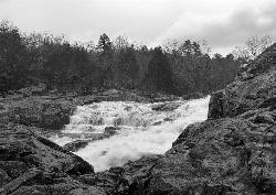
7.6 miles SEA free NPS swimming hole in Ozark National Scenic Riverways where Rocky Creek slides 40 feet down pink rhyolite into a pool, a few steps from the parking lot east of Winona.
Hike, Swim
Round Spring Campground
Eminence, Missouri
9.6 miles NWTwo of America's most beautiful spring-fed rivers meet in forested Ozark National Scenic Riverways at Round Spring — offering swimming, canoeing, hiking, horseback riding, and wildlife viewing.
Camp, Canoe
Alley Spring Swimming Hole (Jacks Fork)
Eminence, Missouri
9.7 miles WGravel-bar swimming hole on the spring-fed Jacks Fork at Alley Spring in Ozark National Scenic Riverways, a short walk from the campground and the red 1894 Alley Mill.
Camp, Canoe, Hike, Kayak, Swim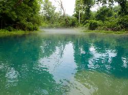
Greer Crossing, Eleven Point River
Alton
27.6 miles SGreer Crossing is the Forest Service access on the Eleven Point River where Highway 19 crosses, ten miles north of Alton. Greer Spring joins just upstream and more than doubles the flow, so the water runs cold, clear and green, day use is free, and campin
Camp, Canoe, Hike, Kayak, Swim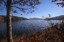
Chapel Hill Beach
Belgrade
42.3 miles NEForest Service sand beach on 440-acre Council Bluff Lake in the Mark Twain National Forest near Belgrade, with a bathhouse and concession stand. Seasonal; day use is $5 per vehicle.
Camp, Canoe, Hike, Kayak, SwimNearby Campsites
Round Spring Campground
Eminence, Missouri
9.6 miles NWTwo of America's most beautiful spring-fed rivers meet in forested Ozark National Scenic Riverways at Round Spring — offering swimming, canoeing, hiking, horseback riding, and wildlife viewing.
Camp, Canoe
Alley Spring Swimming Hole (Jacks Fork)
Eminence, Missouri
9.7 miles WGravel-bar swimming hole on the spring-fed Jacks Fork at Alley Spring in Ozark National Scenic Riverways, a short walk from the campground and the red 1894 Alley Mill.
Camp, Canoe, Hike, Kayak, Swim
Greer Crossing, Eleven Point River
Alton
27.6 miles SGreer Crossing is the Forest Service access on the Eleven Point River where Highway 19 crosses, ten miles north of Alton. Greer Spring joins just upstream and more than doubles the flow, so the water runs cold, clear and green, day use is free, and campin
Camp, Canoe, Hike, Kayak, Swim
Chapel Hill Beach
Belgrade
42.3 miles NEForest Service sand beach on 440-acre Council Bluff Lake in the Mark Twain National Forest near Belgrade, with a bathhouse and concession stand. Seasonal; day use is $5 per vehicle.
Camp, Canoe, Hike, Kayak, Swim


