


Umstead State Park
Raleigh, North Carolina
| GPS: |
35°52'50.4"N 78°45'30.8"W Maps | Directions |
| State: | North Carolina |
| Trails/Routes: | 0.6-3.7 mi |
Restrooms Picnic Tables Lakes Rivers Streams Trails Wildflowers Ponds Fall Colors Pet Friendly Bicycles Fishing State Park Paintball Permitted
Camp, Canoe, Hike, Horseback, and Mountain Bike
People in North Carolina’s Triangle find respite in the natural haven that is William B. Umstead State Park. Umstead State Park is an impressive 5,579 acres of nature’s wonders in the middle of the bustling cities of Raleigh, Durham and Cary.
The forested expanse of this park contains over 20 miles of clearly marked hiking trails, and 13 miles of multi-use trails. Visitors use the multi-use trails for mountain biking, horseback riding and of course hiking. These trails vary from beginner to intermediate in difficulty. No matter what your level is, there is a trail waiting to be explored.
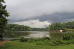
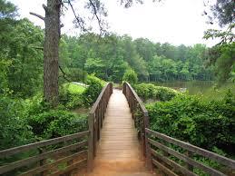
The three lakes in the park provide stunning views from many of the trails and for fishermen as they patiently wait for a catch. Fishing is allowed on all lakes and streams in the park. Fishing is available year-round. North Carolina fishing regulations are enforced.
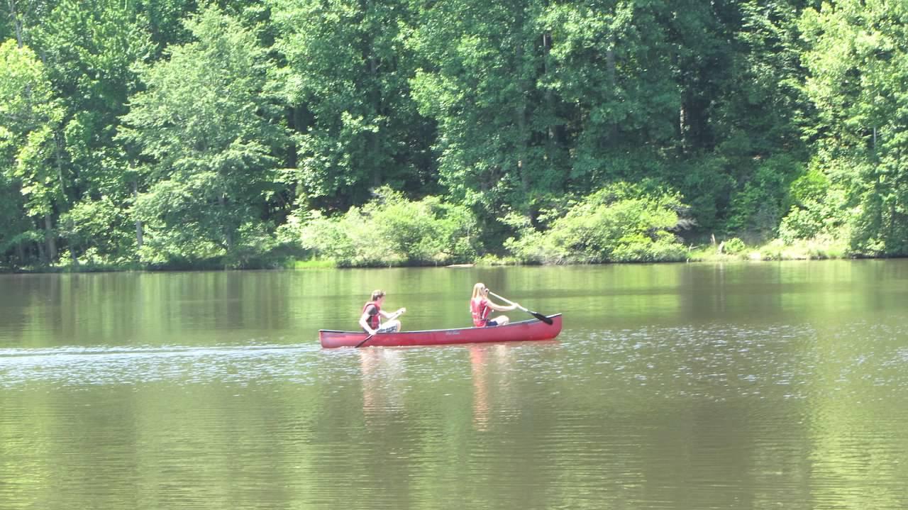
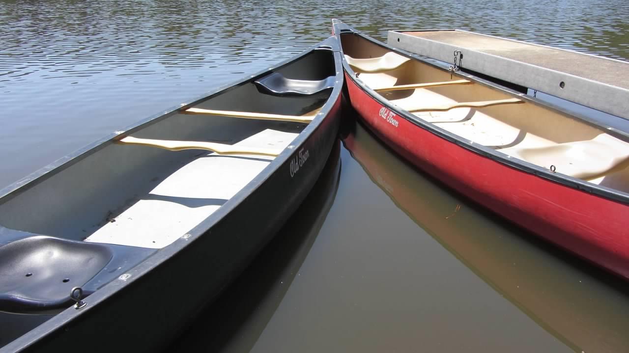
Canoes can be rented at Big Lake on summer weekends. Big Lake is the largest of the three lakes. Tent and group campsites are available for reservations from March 15th through December 1st each year.
Umstead State Park is divided into two sections, Crabtree Creek and Reedy Creek and is easily accessible from Interstate 40 and US 70. The easy access, variety of activities and connection to nature make William B. Umstead State Park a place you will want to visit throughout the year.
More Information
William B. Umstead State Park: Home | NC State Parks
William B. Umstead State Park now offers all-terrain wheelchair rentals. These wheelchairs help individuals with limited mobility enjoy outdoor adventures and experience the wonders of wildlife and nature. Please fill out the interest form to begin the reservation process.
https://www.ncparks.gov/state-parks/william-b-umstead-state-parkNever modify trail features. Ride trails when they're dry enough that you won't leave ruts. Speak up when you see others on the trail and always yield to hikers, horses, and others coming uphill. Always ride on the established trail.
Read MoreBe courteous, informed, and prepared. Read trailhead guidelines, stay on the trail, and don't feed the wildlife.
Read More
- Plan Ahead and Prepare
- Travel & camp on durable surfaces
- Dispose of waste properly
- Leave what you find
- Minimize campfire impacts
- Respect wildlife
- Be considerate of other visitors
Directions
From Raleigh, North Carolina
- Head north on S Wilmington St toward New Bern Pl (0.1 mi)
- Turn left onto E Edenton St (0.2 mi)
- Turn right onto N McDowell St (0.3 mi)
- N McDowell St turns slightly right and becomes Capital Blvd (0.6 mi)
- Take the U.S. 70/NC-50/Wade Avenue ramp to RDU International Airport/Res Tri Park/Interstate 40 (0.3 mi)
- Continue onto NC-50 N/US-70 W/Wade Ave (0.1 mi)
- Take the U.S. 70 W/NC-50 N/Glenwood Avenue N ramp (0.1 mi)
- Merge onto NC-50 N/US-70 W/Glenwood AveContinue to follow US-70 W/Glenwood Ave(9.0 mi)
- Turn left onto William B Umstead State Park Rd (0.9 mi)
- Slight rightDestination will be on the right(253 ft)
William B. Umstead State Park has two entrances: the Crabtree Creek entrance on Hwy 70 (Glenwood Ave) and the Reedy Creek entrance (exit 287 on I-40).
tasiawhicker
1/17/19 8:24 am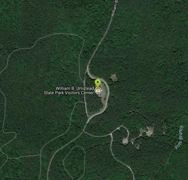


Other Mountain Bike Trails, Hiking Trails, Canoeing Areas, and Horseback Trails Nearby
Durant Nature Preserve
Raleigh, North Carolina
10.1 miles EA 237-acre nature preserve in Raleigh with eight trails, three open to mountain bikers, a children's Secret Creek Trail, a butterfly park, volleyball court, and two Camp Durant lakes.
Hike, Mountain Bike 
Eno River Boat Ramp
Durham, North Carolina
15.1 miles NA dual-use boat ramp on the Eno River at Falls Lake in Durham, popular with canoeists and kayakers as a convenient put-in for the calm river stretch nearby.
Canoe 
Springwood Players Course
Burlington, North Carolina
45.9 miles WA Blue/Gold course built around a top-flight athletics park, featuring everything from ace runs to the longest hole in the Carolinas, plus a beginner Rookie Run.
Disc Golf, Hike


