


Agua Caliente County Park
Julian, California
| Address: | Agua Caliente Spring Rd, Julian, CA 92036, USA |
| GPS: |
32°56'58.5"N 116°18'17.8"W Maps | Directions |
| State: | California |
Restrooms Picnic Tables Trails Wildflowers Pet Friendly
Camp, Cave, Hike, Hot Springs, and Swim
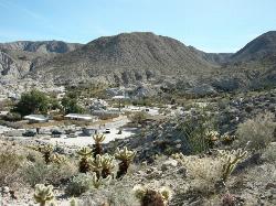
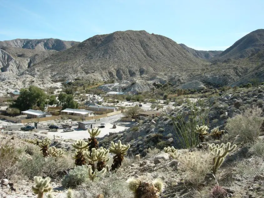
Agua Caliente County Park is a 910-acre park packed with adventures to be had. The park is open from Labor Day to Memorial Day each year and closed during the summer months due to heat.
The park is most famously known for its three geothermically heated springs. These springs are manmade and provide a great relaxation point and swimming hole for visitors. Two of the springs are outdoors, and one is indoors. The indoor pool is a therapeutic spa and is heated to 102 degrees Fahrenheit. These pools are open during daylight hours for all ages, and during some night hours for adult swimmers.
Agua Caliente County Park is also a popular camping destination. The park is equipped with seven cabins. Each cabin has electricity and temperature control. The park also has other types of camping experiences available. There are 140 campsites available. The campground has RV access, with and without hookups, as well as tent camping availability. Campsites can be reserved online or over the phone.
Campers and visitors can enjoy the variety of hiking trails in Agua Caliente County Park. These trails are all less than two miles out and back. Some of the trails provide a rise in elevation and overlook of the whole park. Desert Overlook Trail is especially great for those looking for a fantastic view.
For visitors who are not camping, parking passes can be purchased for 3 dollars per car and are good for the day. Passes provide access to the entire park, including the pools.
Agua Caliente County Park is a unique destination to adventure with your friends and family. The variety of activities give everyone in your group something they will enjoy.
More Information
Agua Caliente County Park
A camping spot located in the big Anza Borrego Desert State Park. It is famous for its hot springs and rugged desert hiking trails.
https://www.sdparks.org/content/sdparks/en/park-pages/AguaCaliente.htmlBe courteous, informed, and prepared. Read trailhead guidelines, stay on the trail, and don't feed the wildlife.
Read More
Be careful. Pay attention to posted signs and always test the waters before you get in. Some hot springs can get up to boiling temperatures. Be sure to drink plenty of water to combat the dehydrating effect of the spring.
Be respectful of other soakers and the hot spring. Don't hog the pool. Camp at least 200 yards away and keep fires in designated areas. Keep your pets out of the water and never pee in thermal feature. Glass bottles should never go near a hot spring.

- Plan Ahead and Prepare
- Travel & camp on durable surfaces
- Dispose of waste properly
- Leave what you find
- Minimize campfire impacts
- Respect wildlife
- Be considerate of other visitors
Directions
From Julian, California
- Head southwest on Washington St toward Main St (112 ft)
- Turn left at the 1st cross street onto Main St (0.3 mi)
- Continue onto CA-78 E/Banner RdContinue to follow CA-78 E(11.3 mi)
- Turn right onto Great Southern Overland Stage Route (21.3 mi)
- Slight right onto Agua Caliente Spring Rd (0.6 mi)
- Continue straight to stay on Agua Caliente Spring Rd (351 ft)
- Turn leftDestination will be on the right(26 ft)
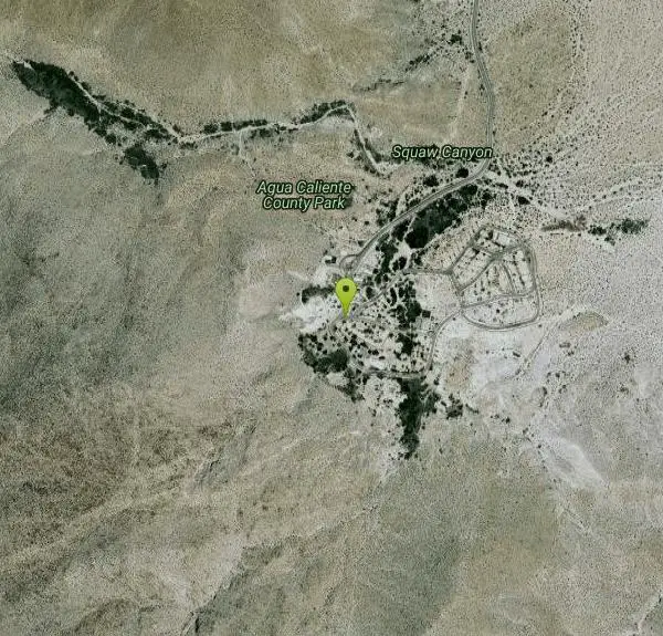
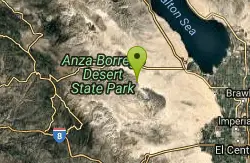
111 miles from San Diego. From Ramona through Julian: East on State Highway 78 to Scissors Crossing then south 26 miles on Highway S2 to the park entrance. From Interstate 8: East on Interstate 8 and exit at Ocotillo, then 22 miles north on Highway S2 to the park entrance.


Other Swimming Holes, Hiking Trails, Caves, and Hot Springs Nearby
Elephant Trees
Borrego Springs, California
13.6 miles NEElephant Trees are rare, cold-sensitive tropical trees reaching only 10 feet tall, with stout trunk and branches resembling elephant legs, thin flaky bark, and tiny oblong leaves — found at their northernmost range in Borrego Springs.
Hike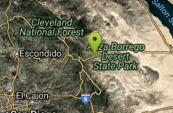
San Felipe Hills
Julian, California
14.0 miles NWThe San Felipe Hills are a mountain range within the Anza-Borrego Desert State Park in the Colorado Desert, in eastern San Diego County, California.
Hike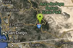
Noble Canyon Trail
Pine Valley, California
14.4 miles SWPine and oak woodlands with wildflowers, mountain views, an 1880s gold mine ruin, and a popular shared trail — bring lots of water, hats, and boots; conditions are very hot and dry in summer.
Hike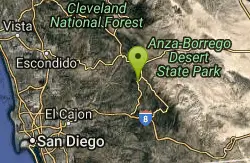
Lake Cuyamaca
Julian, California
16.5 miles WThis 110-acre lake at 4,600 ft in an oak-and-pine forest offers an easy San Diego escape into 26,000 acres of Cuyamaca Rancho State Park wilderness.
Canoe, Hike, Kayak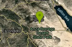
Borrego Springs, CA, USA
Borrego Springs, California
20.1 miles NSwim near Borrego Springs, California
Swim
Cedar Creek Falls
Ramona, California
24.8 miles WAn 80-foot waterfall plunging into a large pool in the backcountry hills of eastern San Diego — note that the pool goes stagnant with algae in summer when the falls typically stop running.
Hike, Swim
Oak Grove/High Point Trail
Warner Springs, California
41.0 miles NWA steep but rewarding trail in the Palomar District near Warner Springs with great views of the San Jacinto and San Gorgonio Mountains and optional 5-mile extension to the High Point Lookout. Bring lots of water.
Hike, Mountain Bike


