


Lake Cuyamaca
Julian, California
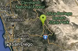
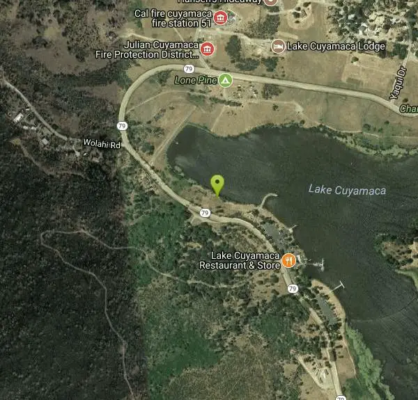
| GPS: |
32°59'18.2"N 116°35'7.9"W Maps | Directions |
| State: | California |
Canoe, Hike, and Kayak
Lake Cuyamaca is a picture-book mountain lake in the pine-and-oak forests of the Cuyamaca Mountains near Julian, California, about an hour east of San Diego. At 4,600 feet and surrounded on three sides by the sprawling Cuyamaca Rancho State Park, this small 110-acre reservoir is a cool, scenic escape from the coastal heat — proof that good things come in small packages.
Fishing is the lake's claim to fame: it's stocked with tens of thousands of pounds of trout each year and is the only lake in San Diego County able to stock trout year-round, so anglers do well from shore or boat (a Lake Cuyamaca fishing permit, plus a state license for adults, is required). For paddlers, kayaks, canoes, and pedal boats are available to rent for a peaceful outing on the calm water.
One important note: this is a drinking-water reservoir, so swimming, wading, and body contact with the water are not allowed. Come for the fishing, paddling, picnicking, and birdwatching rather than a swim.
On land, several well-maintained hiking trails wind around the lake and connect into Cuyamaca Rancho State Park, including routes toward the summit of Cuyamaca Peak. The forested setting is gorgeous in every season — cool and green in summer, golden in fall, occasionally dusted with snow in winter. Bring layers for the mountain air, a picnic, and your fishing gear or a rented boat, follow the lake's rules, and pack out your trash. Easy to reach yet a world away from the city, Lake Cuyamaca is one of San Diego County's most charming little getaways.
More Information
Lake Cuyamaca Boating & Fishing - Recreation & Park District
Copyright © 2025 Lake Cuyamaca Recreation and Park District
https://www.lakecuyamaca.org/boatingBe courteous, informed, and prepared. Read trailhead guidelines, stay on the trail, and don't feed the wildlife.
Read More
- Plan Ahead and Prepare
- Travel & camp on durable surfaces
- Dispose of waste properly
- Leave what you find
- Minimize campfire impacts
- Respect wildlife
- Be considerate of other visitors
Directions
From Julian, California
- Head southwest on Washington St toward Main St (112 ft)
- Turn left at the 1st cross street onto Main St (0.3 mi)
- Turn right onto CA-79 SDestination will be on the left(8.5 mi)
The best way from downtown San Diego is to take Interstate 8 East to State Hwy 79 North until you see the lake. Once you leave the freeway you are about 20 to 25 minutes away.
The fastest way to Lake Cuyamaca from Los Angeles, if you are South of the Garden Grove Freeway (22), is to take I-5 South to I-805 South to I-8 East to Hwy 79 North until you come to the lake. It takes about 2 hours from Santa Ana. Otherwise, take the 91 or the 60 or the I-10 East to I-15 South to Hwy 79 South at Temecula. The lake is 9 miles South of the town of Julian. Once you leave the freeway you are about an hour away.
Other Hiking Trails, Canoeing Areas, and Kayaking Areas Nearby
Cedar Creek Falls
Ramona, California
8.4 miles WAn 80-foot waterfall plunging into a large pool in the backcountry hills of eastern San Diego — note that the pool goes stagnant with algae in summer when the falls typically stop running.
Hike, Swim
San Felipe Hills
Julian, California
10.2 miles NEThe San Felipe Hills are a mountain range within the Anza-Borrego Desert State Park in the Colorado Desert, in eastern San Diego County, California.
Hike
Noble Canyon Trail
Pine Valley, California
10.2 miles SPine and oak woodlands with wildflowers, mountain views, an 1880s gold mine ruin, and a popular shared trail — bring lots of water, hats, and boots; conditions are very hot and dry in summer.
Hike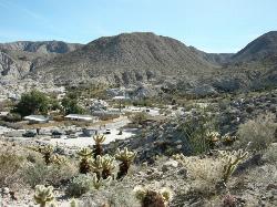
Agua Caliente County Park
Julian, California
16.5 miles EA 910-acre county park with three geothermically heated pools — including an indoor 102°F therapeutic spa — plus hiking trails, cabin rentals, and 140 campsites, open Labor Day to Memorial Day.
Camp, Cave, Hike, Hot Springs, Swim
Elephant Trees
Borrego Springs, California
27.7 miles EElephant Trees are rare, cold-sensitive tropical trees reaching only 10 feet tall, with stout trunk and branches resembling elephant legs, thin flaky bark, and tiny oblong leaves — found at their northernmost range in Borrego Springs.
Hike
Oak Grove/High Point Trail
Warner Springs, California
29.7 miles NWA steep but rewarding trail in the Palomar District near Warner Springs with great views of the San Jacinto and San Gorgonio Mountains and optional 5-mile extension to the High Point Lookout. Bring lots of water.
Hike, Mountain Bike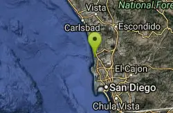
Beach Trail at Torrey Pines
San Diego, California
39.0 miles WA steep, 3/4-mile trail to Flat Rock and the beach at Torrey Pines — few trees, narrow final entry with steps, and coastal cobbles to navigate if you walk back along the shore.
Hike, Swim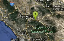
Dripping Springs Trail/Agua Tibia Wilderness
Temecula, California
39.7 miles NWA strenuous Agua Tibia Wilderness trail with immediate climbing, long switchbacks, and a high-elevation traverse — best in fall, winter, or spring; carry water and skip summer visits.
Hike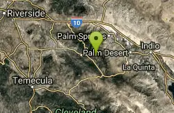
Apple Canyon via Devil's Slide (shuttle hike)
Mountain Center, California
49.2 miles NHike near Mountain Center, California
Hike


