


Oak Grove/High Point Trail
Warner Springs, California
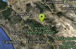
| GPS: |
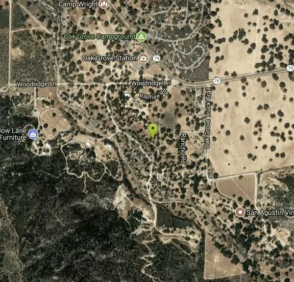
33°22'57.8"N 116°47'27.1"W Maps | Directions |
| State: | California |
Hike and Mountain Bike
Oak Grove Trail is the oldest established trail on the Palomar Ranger District. Although a steep trail, it offers great views of the San Jacinto and San Gorgonio Mountains and the Oak Grove valley as you gain elevation. The trail connects with the Oak Grove Truck Trail offering access to High Point Lookout (an additional 5 miles one way). Bring lots of water.
More Information
Cleveland National Forest | Recreation | Forest Service
Find and Discover Recreation Sites and Trails in Cleveland National Forest
https://www.fs.usda.gov/r05/cleveland/recreationNever modify trail features. Ride trails when they're dry enough that you won't leave ruts. Speak up when you see others on the trail and always yield to hikers, horses, and others coming uphill. Always ride on the established trail.
Read MoreBe courteous, informed, and prepared. Read trailhead guidelines, stay on the trail, and don't feed the wildlife.
Read More
- Plan Ahead and Prepare
- Travel & camp on durable surfaces
- Dispose of waste properly
- Leave what you find
- Minimize campfire impacts
- Respect wildlife
- Be considerate of other visitors
Directions
From Warner Springs, California
- Head east (0.6 mi)
- Keep right (0.4 mi)
- Turn left onto CA-79 N (13.8 mi)
- Turn left onto Woodridge Ln (0.2 mi)
- Turn leftDestination will be on the left(0.2 mi)
From the Los Angeles Basin, drive south on I-15 to Highway 79 South (Temecula). Follow Hwy 79 approx. 25 miles southeast to the Forest Service station at Oak Grove (west side of highway). Trailhead parking is located behind the office. From San Diego, follow I-8 east to Highway 67. Follow Hwy 67 north to Ramona. Follow Highway 78 east to Santa Ysabel and the junction with Highway 79. Follow Hwy 79 north, approx. 30 miles, to the Forest Service station at Oak Grove.
Other Mountain Bike Trails and Hiking Trails Nearby
Dripping Springs Trail/Agua Tibia Wilderness
Temecula, California
11.8 miles NWA strenuous Agua Tibia Wilderness trail with immediate climbing, long switchbacks, and a high-elevation traverse — best in fall, winter, or spring; carry water and skip summer visits.
Hike
Apple Canyon via Devil's Slide (shuttle hike)
Mountain Center, California
23.2 miles NHike near Mountain Center, California
Hike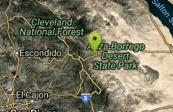
San Felipe Hills
Julian, California
27.1 miles SEThe San Felipe Hills are a mountain range within the Anza-Borrego Desert State Park in the Colorado Desert, in eastern San Diego County, California.
Hike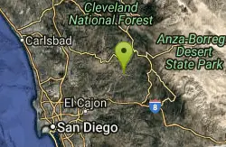
Cedar Creek Falls
Ramona, California
27.4 miles SAn 80-foot waterfall plunging into a large pool in the backcountry hills of eastern San Diego — note that the pool goes stagnant with algae in summer when the falls typically stop running.
Hike, Swim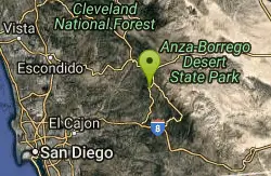
Lake Cuyamaca
Julian, California
29.7 miles SEThis 110-acre lake at 4,600 ft in an oak-and-pine forest offers an easy San Diego escape into 26,000 acres of Cuyamaca Rancho State Park wilderness.
Canoe, Hike, Kayak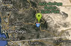
Noble Canyon Trail
Pine Valley, California
39.9 miles SPine and oak woodlands with wildflowers, mountain views, an 1880s gold mine ruin, and a popular shared trail — bring lots of water, hats, and boots; conditions are very hot and dry in summer.
Hike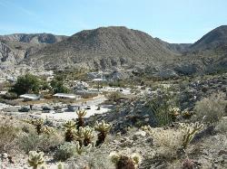
Agua Caliente County Park
Julian, California
41.1 miles SEA 910-acre county park with three geothermically heated pools — including an indoor 102°F therapeutic spa — plus hiking trails, cabin rentals, and 140 campsites, open Labor Day to Memorial Day.
Camp, Cave, Hike, Hot Springs, Swim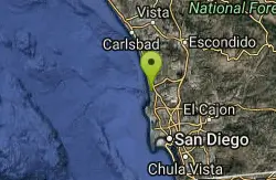
Beach Trail at Torrey Pines
San Diego, California
41.7 miles SWA steep, 3/4-mile trail to Flat Rock and the beach at Torrey Pines — few trees, narrow final entry with steps, and coastal cobbles to navigate if you walk back along the shore.
Hike, Swim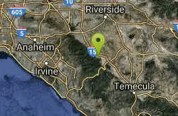
Horse Thief Canyon
Corona, California
43.6 miles NWA hidden off-road playground tucked along the roadside with rocks, trees, and sandpits — a local secret for outdoor fun in the Lake Elsinore/Corona area.
Airsoft, Hike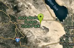
Elephant Trees
Borrego Springs, California
44.7 miles SEElephant Trees are rare, cold-sensitive tropical trees reaching only 10 feet tall, with stout trunk and branches resembling elephant legs, thin flaky bark, and tiny oblong leaves — found at their northernmost range in Borrego Springs.
Hike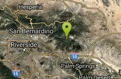
Vivian Creek Trail
Forest Falls, California
48.7 miles NThe shortest but steepest route to the Mt. San Gorgonio summit, gaining serious elevation in 1.2 miles to Vivian Creek Camp at 7,100 feet — a Forest Adventure Pass required.
Camp, HikeNearby Campsites
Agua Caliente County Park
Julian, California
41.1 miles SEA 910-acre county park with three geothermically heated pools — including an indoor 102°F therapeutic spa — plus hiking trails, cabin rentals, and 140 campsites, open Labor Day to Memorial Day.
Camp, Cave, Hike, Hot Springs, Swim
Vivian Creek Trail
Forest Falls, California
48.7 miles NThe shortest but steepest route to the Mt. San Gorgonio summit, gaining serious elevation in 1.2 miles to Vivian Creek Camp at 7,100 feet — a Forest Adventure Pass required.
Camp, Hike


