


Atwood Lake Park Beach
Mineral City
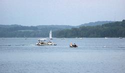
Camp, Canoe, Hike, Kayak, and Swim
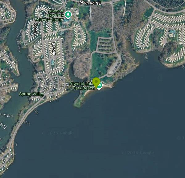
Atwood Lake Park Beach is a sand swimming beach on the north shore of Atwood Lake in eastern Ohio, inside the Muskingum Watershed Conservancy District park of the same name. The MWCD is a political subdivision of the state created in 1933 for flood control, not a state park agency, so the money and the rules work differently here than at an ODNR property. You pay at the gate. Admission is $5 for a single-occupant vehicle and $10 for a vehicle carrying two or more people, charged by MWCD, and that covers the beach along with the trails, playgrounds and picnic areas. There is no separate swim fee and no requirement to be a registered camper or a park guest. A day visitor can drive in, pay, and walk down to the sand.
The beach is open 10am to 7pm daily from Memorial Day weekend through Labor Day, and the park gates run 8am to 9pm through the summer. MWCD does not advertise lifeguards at Atwood, so plan on swimming at your own risk. District rules restrict swimming to the marked area, prohibit it between sunset and sunrise, and ban inner tubes and single-cell rafts at park beaches, which surprises people who show up with a pool float in the trunk. A concession stand sits behind the beach, with a camp store, sand volleyball, pickleball, disc golf and a dog park elsewhere in the park.
Water quality is worth knowing about before you drive out. The Ohio Department of Health tracks this beach in its BeachGuard system, and MWCD samples it weekly through the season for E. coli, posting an advisory whenever a result passes 235 CFU. The record is better than most Ohio inland beaches. Nine bacteria advisories since 2016, all of them short, the longest running eight days, and nothing at all since July 2022. After heavy rain the usual caution applies, but this is not a beach with a chronic problem.
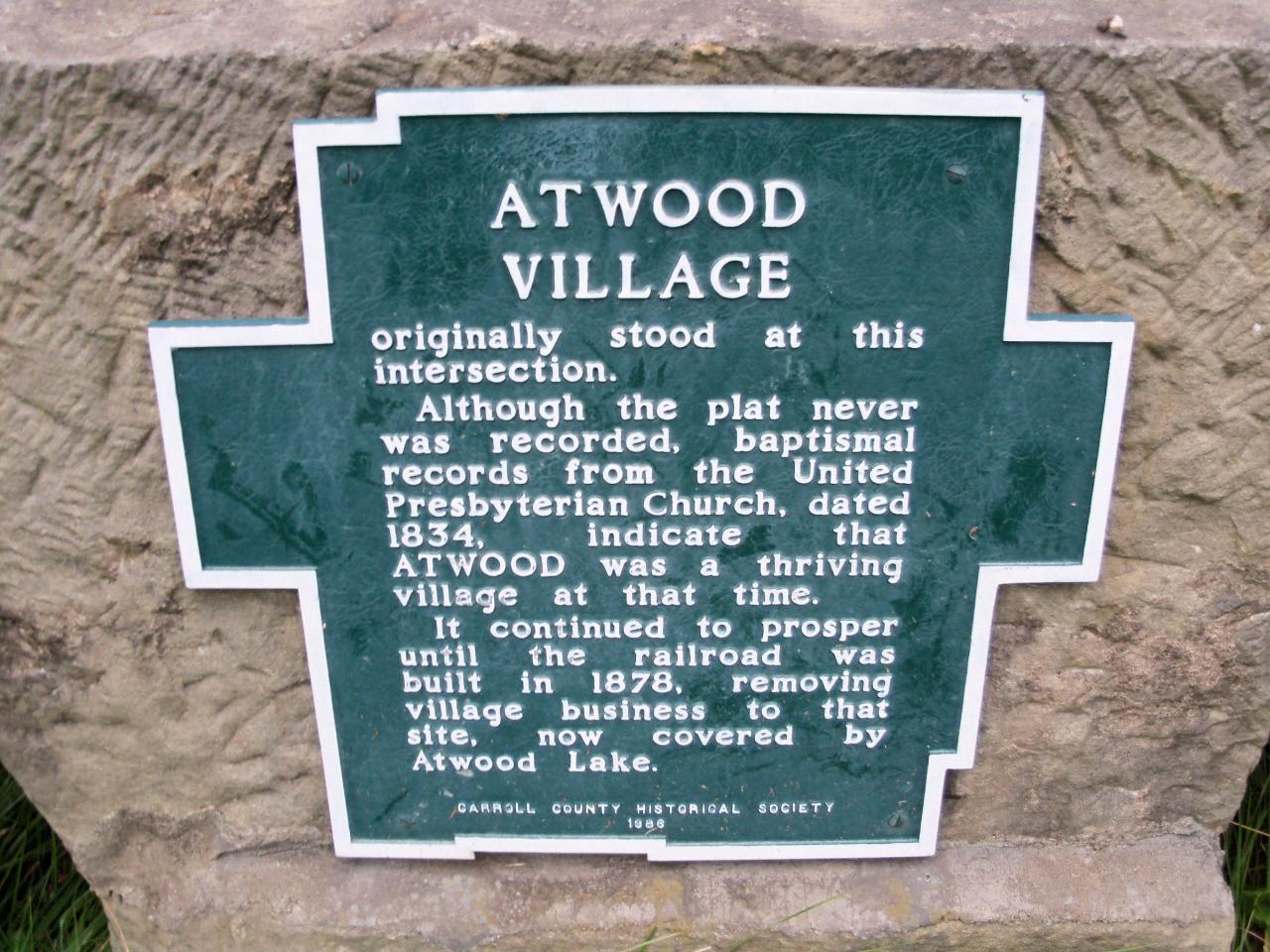
The lake itself covers about 1,540 surface acres behind a dam across Indian Fork, a branch of Conotton Creek, first impounded in 1938. Motors are capped at 25 horsepower, which is why Atwood is the sailing lake of the region rather than a ski lake, and why the water off the beach stays calm. Two marinas, two public ramps, an accessible kayak launch and accessible fishing piers ring the shore. The village of Atwood lies underneath it, marked by a plaque the Carroll County Historical Society placed in 1986.
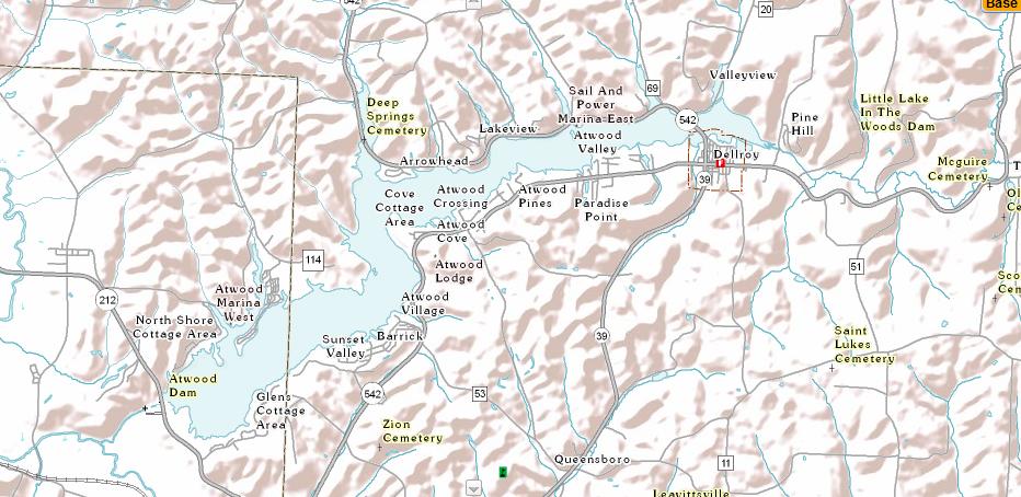
Getting there takes a little care. The park entrance is off Lakeview Road with a Mineral City 44656 mailing address, though the sand itself sits just over the line in Carroll County. Sunset Valley, the hamlet often given as the beach's location, is less than a mile away across the water but roughly seven miles around by road. Do not confuse this park with the Atwood Lake Region resort area on the south side or the former lodge site, neither of which is the public beach.
More Information
A T W O O D L A K E P A R K w e l c o m e s y o u
HIKING TRAILWATER TRAILFULL HOOKUPELECTRIC SITE PATIO CABINAMPHITHEATREBEACHBOAT RAMPBOAT RENTALBOATER SWIMMING AREA DOCKDOG PARKDUMP STATIONFISHING PIERHANDICAP ACCESSKAYAK LAUNCHMARINA OBSERVATION TOWERPARK ENTRANCEPARKINGPICNIC AREAPAVILIONPLAYGROUNDBASKETBALL SAND VOLLEYBALL PICKLEBALL…
https://www.mwcd.org/wp-content/uploads/2023/09/mwcd_atwood_lake_brochure_2021_final_2.pdfAtwood Lake - Muskingum Watershed Conservancy District
Atwood Lake Park is located in Tuscarawas and Carroll Counties. An easy drive from Akron and Cleveland, Atwood Lake Park is a close getaway vacation. Atwood is one of the state’s -- and region’s -- top lakes for sailing and pleasure boating. Atwood Lake Park features a wide, sandy beach, vending area, changing room with showers, playground, picnic area and picnic shelters.
https://www.mwcd.org/places/atwood-lake-park/Atwood Lake Fishing Area
Managed fishing area information and printable fishing map for Atwood Lake.
https://ohiodnr.gov/go-and-do/plan-a-visit/find-a-property/atwood-lake-fishing-areaCamping - Muskingum Watershed Conservancy District
Explore a variety of camping options including cabins, seasonal camping, full hook-up, primitive sites, RV and tent rentals around lakes in the Muskingum Watershed Conservancy District.
https://www.mwcd.org/visit-our-lakes/lodging-facilities/camping/Lake Levels & Water Quality - Muskingum Watershed Conservancy District
lake Levels - Muskingum Watershed Conservancy District
https://www.mwcd.org/visit-our-lakes/our-lakes/lake-levels-water-quality/Reservations - Muskingum Watershed Conservancy District
CAMPING & CABIN RESERVATIONS RESERVE NOW RESERVATION DATES All reservations must be made 48 hours prior to the beginning of the reservation. For example: A Friday night reservation must be […]
https://www.mwcd.org/visit-our-lakes/lodging-facilities/reservations-and-fees/Rules & Regulations - Muskingum Watershed Conservancy District
MWCD Rules and Regulations If you have any questions about what you can and can’t do on any of the Muskingum Watershed lakes and surrounding land, you can find the […]
https://www.mwcd.org/about/our-vision/rules-regulations/Swimming - Muskingum Watershed Conservancy District
Swimming at MWCD Lakes! Are you ready to dive into adventure? Look no further than one of the sandy swim beaches at a MWCD Lake where serene surroundings await you. […]
https://www.mwcd.org/visit-our-lakes/activities/swimming/Be courteous, informed, and prepared. Read trailhead guidelines, stay on the trail, and don't feed the wildlife.
Read More
- Plan Ahead and Prepare
- Travel & camp on durable surfaces
- Dispose of waste properly
- Leave what you find
- Minimize campfire impacts
- Respect wildlife
- Be considerate of other visitors
Directions
From Mineral City
- Head south on OH-800 S/
S High Ext toward Station St Continue to follow OH-800 S(0.2 mi) - Turn left onto New Cumberland Rd NE (5.2 mi)
- Turn left onto Lakeview Rd (2.2 mi)
- Continue onto Shop Rd NE (0.5 mi)
- Turn right (0.2 mi)
- Continue straight (138 ft)
- Turn right (0.1 mi)
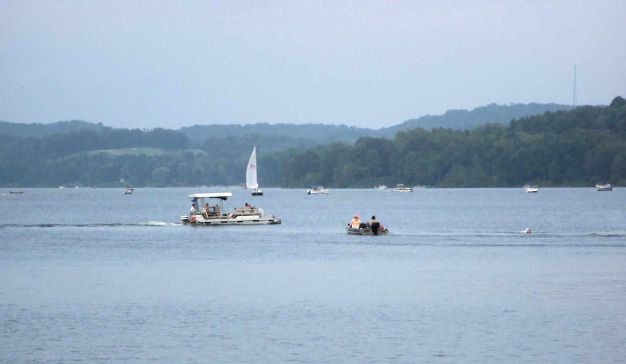
 Atwood Lake from the dam, looking east toward Carroll County courtesy of Roseohioresident↗ (Public domain↗)
 USGS topographic map of Atwood Lake showing the dam, the marinas and Sunset Valley courtesy of USGS↗ (Public domain↗)
 Marker for the village of Atwood, which now lies under the lake courtesy of Roseohioresident↗ (Public domain↗)
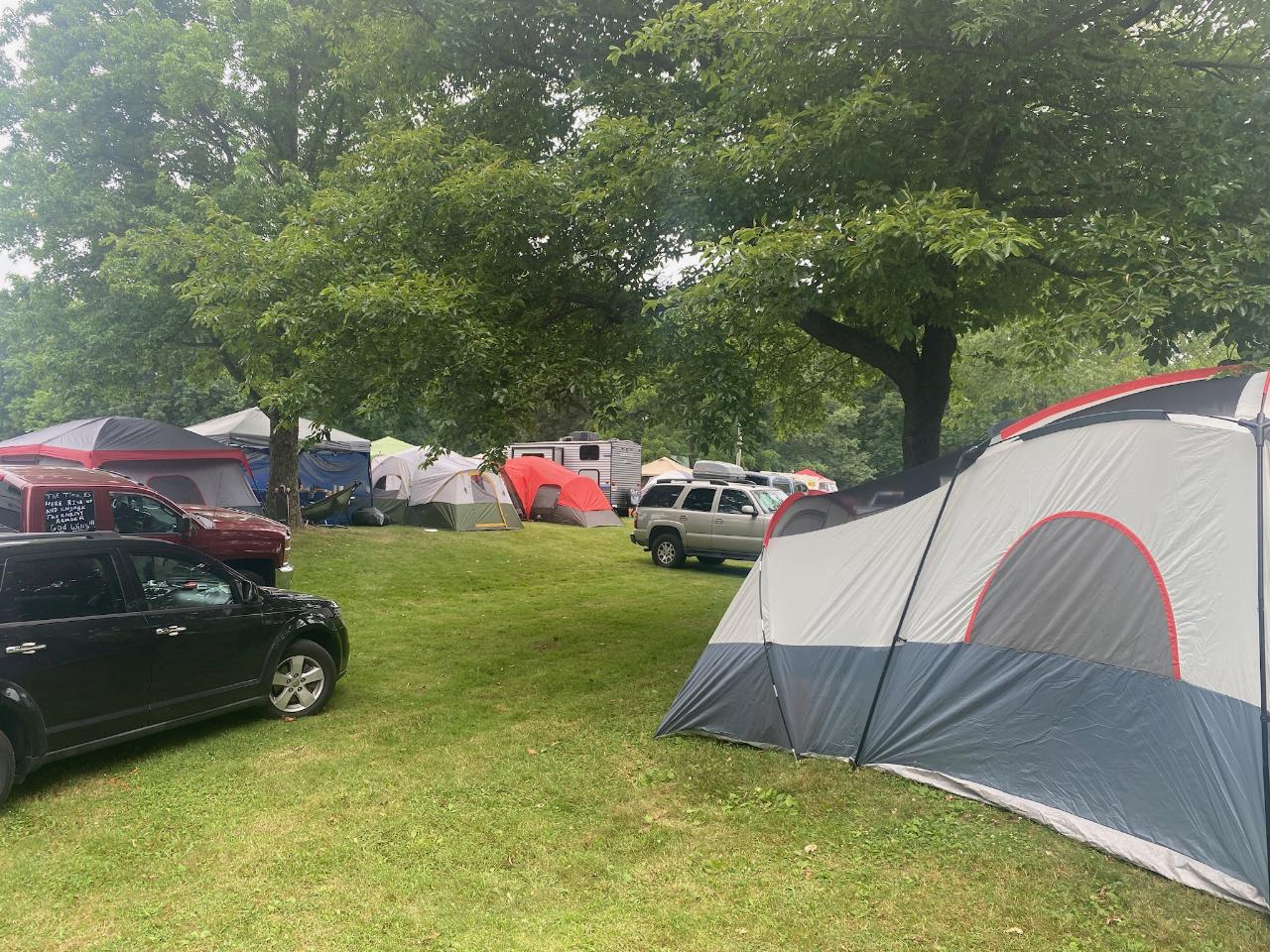
 A campsite in the Atwood Lake Park campground, photographed during the Alive festival courtesy of Bebrophy↗ (CC BY-SA 4.0↗)

Other Swimming Holes, Hiking Trails, Canoeing Areas, and Kayaking Areas Nearby
Guilford Lake State Park Beach
Lisbon, Ohio
27.1 miles NEA 600 foot public beach on the northwest side of Guilford Lake, a 396 acre reservoir dug in 1834 to feed the Sandy and Beaver Canal.
Camp, Canoe, Hike, Kayak, Swim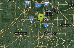
Pheasant Run Loop Portage Lakes State Park
Akron, Ohio
33.5 miles NWBoating, swimming, and fishing on several surrounding lakes, plus wetlands that draw waterfowl and shorebirds — Portage Lakes State Park packs a lot into 411 acres near Akron.
Hike
Rabbit Hill Loop Portage Lakes State Park
Akron, Ohio
33.5 miles NWA scenic loop at one of Ohio's highest points, where the watershed divides between Lake Erie and the Ohio River, steeped in Native American and settler history.
Hike
Portage Lake State Park- Planet Walk Trail
Akron, Ohio
33.5 miles NWA 411-acre Ohio park with boating, swimming, and fishing on several surrounding lakes, plus wetlands that attract waterfowl and shorebirds for hunting and wildlife watching.
Hike
Shoreline Trail Portage Lakes State Park
Akron, Ohio
33.5 miles NWA 5-mile trail at Portage Lakes State Park in Akron that winds past Rex Lake, a dog park, the Big Oaks Picnic Area, and Turkeyfoot Beach — accessed via the Planet Walking Trail from the park office lot.
Hike
The Tubbs
Cleveland-Elyria-Mentor, OH, Ohio
39.5 miles ESwim near Cleveland-Elyria-Mentor, OH, Ohio
Swim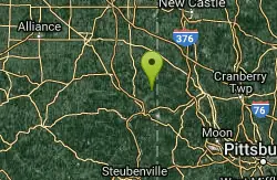
White Star Park
Gibsonburg, Ohio
39.5 miles EAn Ohio quarry swimming spot with fine white sand and brilliantly clear teal-blue water — unlike anything else in the state, with depth visible right to the buoy barriers.
Swim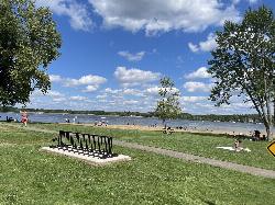
Craig Beach at Lake Milton State Park
Craig Beach, Ohio
43.0 miles NA 600 foot public swim beach on the east shore of Lake Milton, in the village of Craig Beach, where an amusement park with a roller coaster stood a century ago.
Canoe, Hike, Kayak, Swim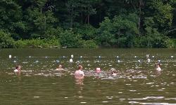
Raccoon Creek State Park Beach
Clinton
45.4 miles EA free 500-foot sand and turf beach on 101-acre Raccoon Lake, with no lifeguard and a posted season of late May to mid-September. The park tests the water weekly and has closed swimming for elevated E. coli in each of the last two summers.
Camp, Canoe, Hike, Kayak, SwimNearby Campsites
Guilford Lake State Park Beach
Lisbon, Ohio
27.1 miles NEA 600 foot public beach on the northwest side of Guilford Lake, a 396 acre reservoir dug in 1834 to feed the Sandy and Beaver Canal.
Camp, Canoe, Hike, Kayak, Swim
Raccoon Creek State Park Beach
Clinton
45.4 miles EA free 500-foot sand and turf beach on 101-acre Raccoon Lake, with no lifeguard and a posted season of late May to mid-September. The park tests the water weekly and has closed swimming for elevated E. coli in each of the last two summers.
Camp, Canoe, Hike, Kayak, Swim


