


12 Backpacking Trails near Groveland, CA
first prev 1 next lastShowing Backpacking Trails within 50 miles Distance miles of Groveland, CA, USA City, Zip, or Address
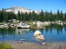
Crane Flat
Big Oak Flat, Yosemite National Park
24.4 miles EFramed between two giant sequoia groves, Crane Flat meadow is a quiet Yosemite base camp for birding, stargazing, and seasonal hikes to Lukens and Harden Lake.
Backpack, Camp, Hike, Snowshoe 2.3 mi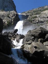
Wapama Falls
Groveland, California
25.3 miles EA 5-mile moderate hike along the Hetch Hetchy reservoir in Yosemite to 1,000-foot Wapama Falls — cross a dam, walk through a tunnel, and prepare to get sprayed by the mist at the bridge below.
Backpack, Hike 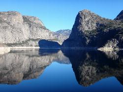
Hetch Hetchy Reservoir
Groveland, California
25.5 miles EHetch Hetchy's longest hiking season in Yosemite leads across the O'Shaughnessy Dam to Wapama Falls, where you're nearly guaranteed to get sprayed — plus day hikes to Smith Peak at 7,751 feet.
Backpack, Hike 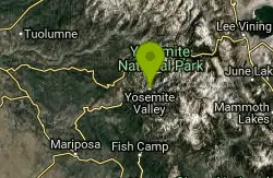
Harden Lake
Big Oak Flat, Yosemite National Park
31.8 miles EA long but gentle 5.8-mile walk down old Tioga Road through granite domes and red fir forest to a serene lake ringed by wildflowers — with optional extension to the Grand Canyon of the Tuolumne.
Backpack, Hike 4.1 mi
North Dome
Yosemite Valley, Yosemite National Park
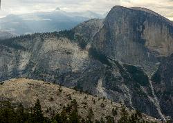
37.1 miles EA strenuous 10.4-mile hike through Yosemite forest to North Dome, rewarding hikers with the best straight-on view of Half Dome from 7,450 feet — plus a 0.6-mile detour to a 15-foot granite arch.
Backpack, Hike 1.9-2.9 mi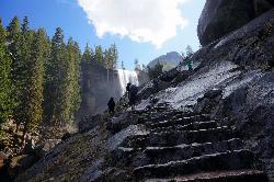
Mist Trail
Yosemite National Park
37.5 miles EA steep, mist-soaked Yosemite staircase hike climbing 639 stone steps past Vernal and Nevada Falls — with Half Dome, Whitecap, and Mt. Broderick views from the switchbacks above.
Backpack, Hike 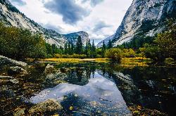
Mirror Lake
Yosemite Valley, Yosemite National Park
37.8 miles EA paved, car-free trail winds to this seasonal lake at the base of Half Dome, offering a still mirror reflection and a popular summer swimming hole.
Backpack, Hike, Swim 2.1 mi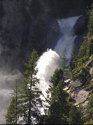
Snow Creek Falls
Yosemite Valley, Yosemite National Park
38.4 miles EA 2,140-foot, seven-drop cascade tucked deep in Tenaya Canyon — best spotted from the Mirror Lake Loop, where you can also take a swim before hunting for the falls from the Snow Creek Trail junction.
Backpack, Hike 5.7 mi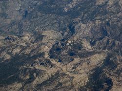
Ten Lakes
Tuolumne Meadows, Yosemite National Park
38.9 miles EA 6.4-mile hike from Yosemite Creek to three of the Ten Lakes Basin's seven lakes, through wildflower meadows, forests, and past the Grand Canyon of the Tuolumne, gaining 2,200 feet.
Backpack, Camp, Hike 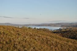
New Hogan Lake
Valley Springs, California
39.3 miles NWNew Hogan Lake is a 4,400-acre reservoir tucked into the golden Sierra Nevada foothills of Calaveras County, California, about 30 miles northeast of Stockton near the little town of Valley Springs....
Backpack, Camp, Hike, Swim 6.1 mi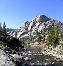
Glen Aulin
Wawona, California
44.5 miles EAn 11-mile hike along the Tuolumne River to Glen Aulin with 800 feet of gain, passing Tuolumne Falls, Soda Springs, wildflower meadows, and the stunning White Cascade.
Backpack, Camp, Hike 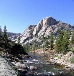
Glen Aulin
Glen Aulin, California
44.5 miles EA popular introductory Yosemite High Country backcountry hike following the Tuolumne River to a High Sierra Camp beside the White Cascade waterfall, with further options to Waterwheel Falls.
Backpack, Camp, Hike, Swim


