


Blue Bend Recreation Area
White Sulphur Springs
| GPS: |
37°55'19.7"N 80°15'54.4"W Maps | Directions |
| State: | West Virginia |
Camp, Hike, and Swim
Blue Bend Recreation Area is a day-use and camping area in the Monongahela National Forest, run by the U.S. Forest Service's White Sulphur Ranger District. It sits on Anthony Creek in northern Greenbrier County, at about 1,860 feet in a wooded valley below Round Mountain. The Civilian Conservation Corps built it between 1936 and 1938, and it is listed on the National Register of Historic Places as Blue Bend Forest Camp. The log picnic shelters, stone work and trails still date from that era, and new kiosks near the parking lot explain the CCC history.
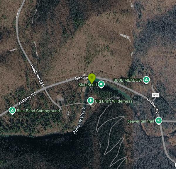
From White Sulphur Springs, drive about 8 miles north on State Route 92 to Alvon, turn left (west) onto State Route 16 (Anthony Road), and continue roughly 4 miles to the recreation area. Parking is at the Blue Bend day-use lot beside the creek, close to the picnic pavilion and restrooms. Recreation.gov warns that the access roads are prone to flash flooding and can become impassable until the water drops, so check the weather before heading out after heavy rain.
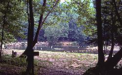
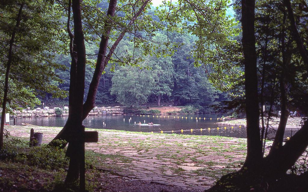
The swimming hole is the wide bend in Anthony Creek right next to the road and just below the picnic pavilion. A CCC-era rock masonry platform slopes into the water and gives swimmers a flat place to sit. The upstream edge is shallow enough for small children, and the pool deepens as the creek curves around the bend, with the deepest water at the far end. The bottom is natural creek bed, and both depth and bottom shape change after floods and during droughts, so check the water before every jump. Do not dive. The water is a cold mountain stream and stays cool all summer. No lifeguard is listed for this site, and hot summer weekends bring heavy crowds.
Swimming here is free. The Forest Service charges only for camping (single sites $16 per night, electric sites $20 and $40 on the current Forest Service page, with higher rates of $20 to $50 approved for 2026) and for reserving the group shelter or pavilion ($25 per day). The forest's 2026 fee changes added a per-vehicle swimming fee at Lake Sherwood but not at Blue Bend. The area is open from late March through November, though the Forest Service notes the season may end in September. The Forest Service page says potable water is not available, while Recreation.gov describes seasonal running water and a spring and fall hand pump, so bring your own drinking water.
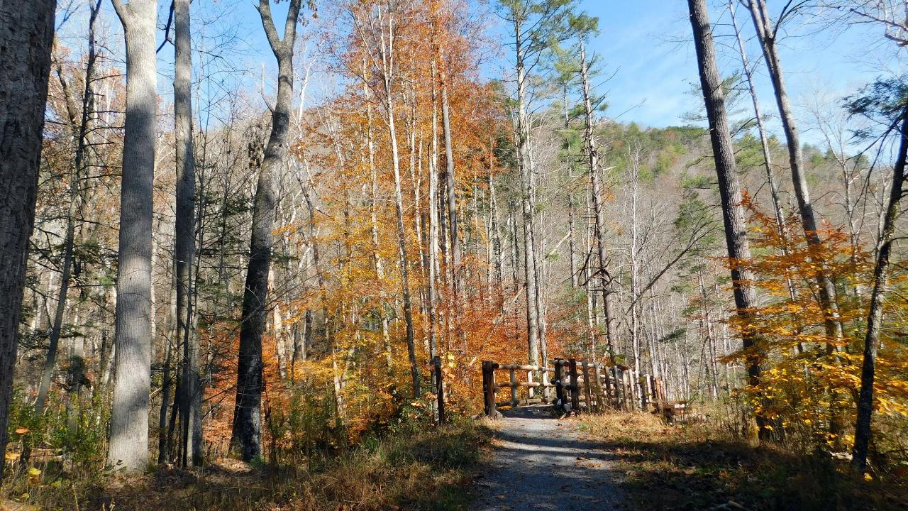
The 21-site campground is next to the day-use area and can be reserved on Recreation.gov. Across the swinging footbridge, the Blue Bend Trail (TR 614) climbs Round Mountain in a 5-mile loop with three overlooks and a trail shelter, and it leads into the 5,144-acre Big Draft Wilderness. The level Anthony Creek Trail (TR 618) follows the creek downstream to quieter pools, with one ford that is hard in high water. Anthony Creek is stocked with trout, and anglers need a West Virginia fishing license with conservation and trout stamps. Black bears live in this valley, so keep food locked in your vehicle. Cell service is weak to nonexistent. The White Sulphur Ranger District can be reached at 304-536-2144.
More Information
Be courteous, informed, and prepared. Read trailhead guidelines, stay on the trail, and don't feed the wildlife.
Read More
- Plan Ahead and Prepare
- Travel & camp on durable surfaces
- Dispose of waste properly
- Leave what you find
- Minimize campfire impacts
- Respect wildlife
- Be considerate of other visitors
Directions
From White Sulphur Springs
- Head northeast on Main St E toward Mill Hill Ave (0.8 mi)
- Turn left onto WV-92 N/
Pocahontas Trl (9.2 mi) - Turn left onto Anthony RdDestination will be on the left(3.6 mi)



Other Swimming Holes and Hiking Trails Nearby
Watoga State Park
White Sulphur Springs, West Virginia
14.0 miles NESwim near White Sulphur Springs, West Virginia
Swim
Humpback Bridge
Covington, Virginia
14.6 miles SESwim near Covington, Virginia
Swim
Anvil Rock
Alderson, West Virginia
22.5 miles SWSwim near Alderson, West Virginia
Swim
Blowing Springs
Warm Springs, Virginia
22.8 miles NESwim near Warm Springs, Virginia
Swim
Knapp Creek Area
Webster Springs, West Virginia
22.9 miles NESwim near Webster Springs, West Virginia
Swim
Roaring Run
Eagle Rock, Virginia
25.1 miles SESwim near Eagle Rock, Virginia
Swim
Jefferson Pools
Warm Springs, Virginia
27.9 miles ENatural hot springs bubble up at 96–98°F through the rock floor of centuries-old wooden bathhouses, with segregated men's and women's pools and optional bathing suits.
Swim
Cranberry River Area
Cedarville, West Virginia
29.6 miles NWSwim near Cedarville, West Virginia
Swim
Williams River Area
White Sulphur Springs, West Virginia
30.5 miles NSeveral swimming holes in and near the Cranberry Wilderness of West Virginia's Monongahela National Forest — bathing suits optional.
Swim
Cowpasture River Area
Millboro, Virginia
32.0 miles ESwim near Millboro, Virginia
Swim
Longdale
Clifton Forge, Virginia
32.1 miles ESwim near Clifton Forge, Virginia
Swim
Sandstone Falls
Shady Spring, West Virginia
36.6 miles WSwim near Shady Spring, West Virginia
Swim
Meadow River East Area
Valley Head, West Virginia
36.9 miles NWSwim near Valley Head, West Virginia
Swim
Summersville Cliffs Area
Mount Nebo, West Virginia
38.5 miles NWSwim near Mount Nebo, West Virginia
Swim
Glade Creek Area
Masontown, West Virginia
41.1 miles WA 6-mile-plus gorge hiking trail alongside beautiful Glade Creek with many swimming holes, accessible from both ends, and a small free campground at the lower end near the New River.
SwimBullpasture Gorge
Williamsville, Virginia
41.8 miles NEBullpasture Gorge is a wild and beautiful river canyon in the remote western highlands of Virginia, where the Bullpasture River carves a dramatic gorge through Highland County near Williamsville. A...
Canoe, Hike, Kayak, Whitewater
Cascade Falls
Pembroke, Virginia
42.0 miles SWSwim near Pembroke, Virginia
Swim
Elk River Area
Masontown, West Virginia
42.6 miles NSwim near Masontown, West Virginia
Swim
North Creek Area
Mount Solon, Virginia
44.1 miles SESeveral swimming holes tucked into Jefferson National Forest offer very private dips, with some naturally secluded spots near I-81 and others openly exposed at Jennings Creek.
Swim
Ben Salem Wayside
Lexington, Virginia
49.1 miles ESwim near Lexington, Virginia
Swim


