


Richardi Park
Bellaire
Canoe, Hike, Kayak, and Swim
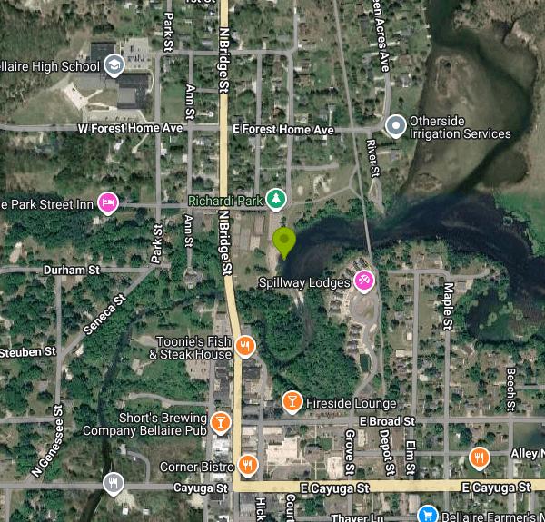
Richardi Park takes up roughly eight acres at 100 East Antrim Street, a block north of downtown Bellaire in Antrim County. The water is not Intermediate Lake, whatever the aggregator listings say. It is the Intermediate River impoundment held back by Richardi Dam, a wide slow pool with Intermediate Lake upstream and Lake Bellaire below. The Village of Bellaire keeps a sand beach on that pool, and OpenStreetMap maps the beach and the swim area beside it as two separate public features, both tagged open access with no lifeguard.
Swimming here is sanctioned rather than merely tolerated. The village names a swimming beach in its own description of the park, the state water trail inventory lists one, and the Health Department of Northwest Michigan samples Richardi Park Beach by name, weekly for eight weeks from late June into early September, with results posted Fridays to Michigan EGLE BeachGuard. Those results are worth a look before a long drive. On August 22, 2024 the beach measured 648.8 E. coli per 100 milliliters and drew a partial body contact advisory, which still considered wading, paddling and fishing safe but warned people off full immersion. Swimmer's itch is a live regional problem too. The Intermediate Lake Association funds a prevention program, and the Three Lakes Association commissioned a 2019 assessment for Lake Bellaire and runs a free public reporting tool.
Nothing costs money to get in. Entry, the beach and the paved village lot are all free. The only charge the Village of Bellaire collects at this park is a rental fee for the Richardi Pavilion or the gazebo, booked through the village offices with a form and a deposit. Around the beach sit restrooms, drinking water, a grill, picnic tables, a playground, basketball and tennis courts, skateboard ramps and a sand volleyball court. Winter brings ice rinks. Posted hours are 8AM to 10PM daily, with the seasonal amenities running May through September.
Know where the dam is before anyone gets in. Richardi Dam, also called the Bellaire Dam, sits immediately downstream of the swim area at the park's south edge. It is listed in the National Inventory of Dams as MI00435, owned by the Antrim County Board of Public Works and rated high hazard. Built in the 1890s to raise the water for floating logs and later altered for power, it still splits the Chain of Lakes into an upper and a lower half. Paddlers finish the 20 mile Upper Chain route right here, then carry about a third of a mile across M-88 to the Ohio Street launch to keep going. The carry-in launch at the park is under fifty yards from the parking. The Chain of Lakes Water Trail runs more than a hundred miles across twelve lakes and eighty four access sites, and was designated the first Pure Michigan Water Trail in April 2025.
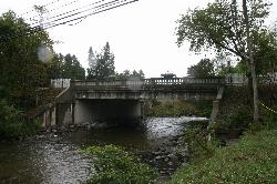
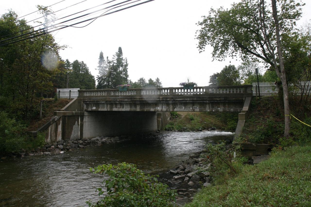
The Intermediate River covers about four and a quarter miles between Intermediate Lake and Lake Bellaire and carries anywhere from 20 to 240 cubic feet per second. Its headwaters drain a swamp some sixty water miles upstream, so the upper reaches can look faintly tea colored on a bright day. It is a designated Michigan trout stream. Brook trout were stocked from 1956 to 1965 and then discontinued once natural reproduction proved sufficient, and walleye and bass hold in the water as well. The 1932 M-88 bridge over the river stands at the park's western edge and is on the National Register, as is the Henry Richardi House a block away on North Bridge Street, now run as a bed and breakfast.
More Information
Chain Of Lakes - Water Trail - Paddle Antrim - Antrim County Michigan
The Chain of Lakes Water Trail, in northwest Michigan, is a 99+ mile inland water trail made up of 16 interconnected lakes and rivers which flow into the East Grand Traverse Bay of Lake Michigan.
https://www.paddleantrim.com/chain-of-lakes-water-trail/Intermediate River - Tip of the Mitt Watershed Council
Intermediate River between St. Clair and Ellsworth Lakes This short river segment is only 0.3 mile long. The river flows under Pleasant Hill Road through an eight-foot diameter corrugated […]
https://watershedcouncil.org/waterbody/intermediate-river/Be courteous, informed, and prepared. Read trailhead guidelines, stay on the trail, and don't feed the wildlife.
Read More
- Plan Ahead and Prepare
- Travel & camp on durable surfaces
- Dispose of waste properly
- Leave what you find
- Minimize campfire impacts
- Respect wildlife
- Be considerate of other visitors
Directions
From Bellaire
- Head north on S Rice Ave toward Linden St (0.1 mi)
- Turn right onto Bellaire Blvd (0.5 mi)
- Turn left onto W Loop S (413 ft)
- Slight left to merge onto I-610 N (1.3 mi)
- Take exit 8B to merge onto I-69/
US-59 N toward Downtown (54.5 mi) - Continue onto US-59 N (70.9 mi)
- Slight right to merge onto TX-287 Loop E/
US-59 N/ S Medford Dr toward Nacogdoches (5.7 mi) - Continue straight onto US-59 N (15.6 mi)
- Turn left onto the US-59 N/
TX-224 Loop N ramp to Texarkana (0.4 mi) - Slight right onto the ramp to TX-7/
Crockett (289 ft) - Slight left to merge onto TX-224 Loop N/
US-59 N/ SW Stallings Dr Continue to follow US-59 N(7.4 mi) - Merge onto US-259 N via the ramp to Henderson (17.1 mi)
- Slight right onto TX-315 E (24.9 mi)
- Turn left to merge onto TX-149 W/
NW Loop Continue to follow TX-149 W(1.8 mi) - Continue onto US-79 N (1.6 mi)
- Take the US-59 N ramp to Marshall (0.2 mi)
- Turn left onto US-59 BUS N (377 ft)
- Continue onto US-59 NPass by Pizza Hut (on the left in 24.4 mi)(71.2 mi)
- Turn left to stay on US-59 NPass by Anytime Fitness (on the right in 0.3 mi)(21.0 mi)
- Turn right onto the US-59 N/
I-369 N ramp to I-30 W/ Dallas/ Texarkana (0.7 mi) - Continue onto I-369/
US-59 N (3.5 mi) - Take the exit onto I-30 E/
US-59 N toward Little Rock/ Ashdown Continue to follow I-30 EEntering Arkansas(141 mi) - Take exit 138A for I-440 E toward L.R. National Airport/
L.R. River Prt/ Memphis (1.0 mi) - Continue onto I-440 E (9.0 mi)
- Take exit 11 to merge onto I-40 E toward Memphis (118 mi)
- Take exit 277 to merge onto I-55 N toward Blytheville/
St. Louis (8.3 mi) - Continue onto US-61 N/
US-78 (6.8 mi) - Continue onto I-55 NEntering Missouri(116 mi)
- Take exit 66A to merge onto I-57 N/
US-60 E toward Chicago Continue to follow I-57 NEntering Illinois(118 mi) - Slight right to stay on I-57 N (signs for Chicago) (62.0 mi)
- Merge onto I-70 (5.3 mi)
- Slight left onto I-57 (182 mi)
- Take exit 345A to merge onto I-80 E toward Indiana/
I-294 Toll road(3.4 mi) - Keep left to stay on I-80 EToll roadEntering Indiana(23.7 mi)
- Continue onto I-94 EEntering Michigan(63.8 mi)
- Take exit 34 for I-196 N/
US-31 N toward Holland/ Grand Rapids (1.2 mi) - Continue onto I-196 N/
US-31 N Continue to follow I-196 N(76.4 mi) - Take exit 77C for Ottawa Ave toward Downtown (486 ft)
- Slight right onto the ramp to Ottawa Ave NW (207 ft)
- Continue onto Ottawa Ave NW (190 ft)
- Turn left onto Michigan St NW (328 ft)
- Turn left onto Ionia Ave NW (0.1 mi)
- Slight left to merge onto I-196 W toward Holland (0.3 mi)
- Take exit 77A to merge onto US-131 N toward Cadillac (119 mi)
- At the traffic circle, take the 2nd exit and stay on US-131 N (24.0 mi)
- Turn left onto N County Line Rd NE (0.3 mi)
- Turn right onto Bailey Rd (3.2 mi)
- Turn left onto M-88 W (8.6 mi)
- Slight left onto E Cayuga St (0.5 mi)
- Turn right onto N Bridge St (0.3 mi)
- Turn right onto E Antrim St (322 ft)
- Turn right (180 ft)
 The 1932 M-88 bridge over the Intermediate River at the west edge of Richardi Park courtesy of Keller.baum↗ (CC BY-SA 3.0↗)
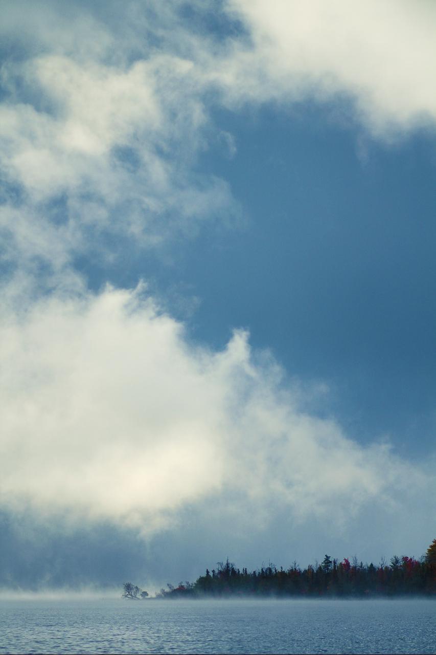
 Morning mist over Chain of Lakes water at Bellaire in autumn courtesy of Nicole Harrington nicolegeri↗ (CC0↗)
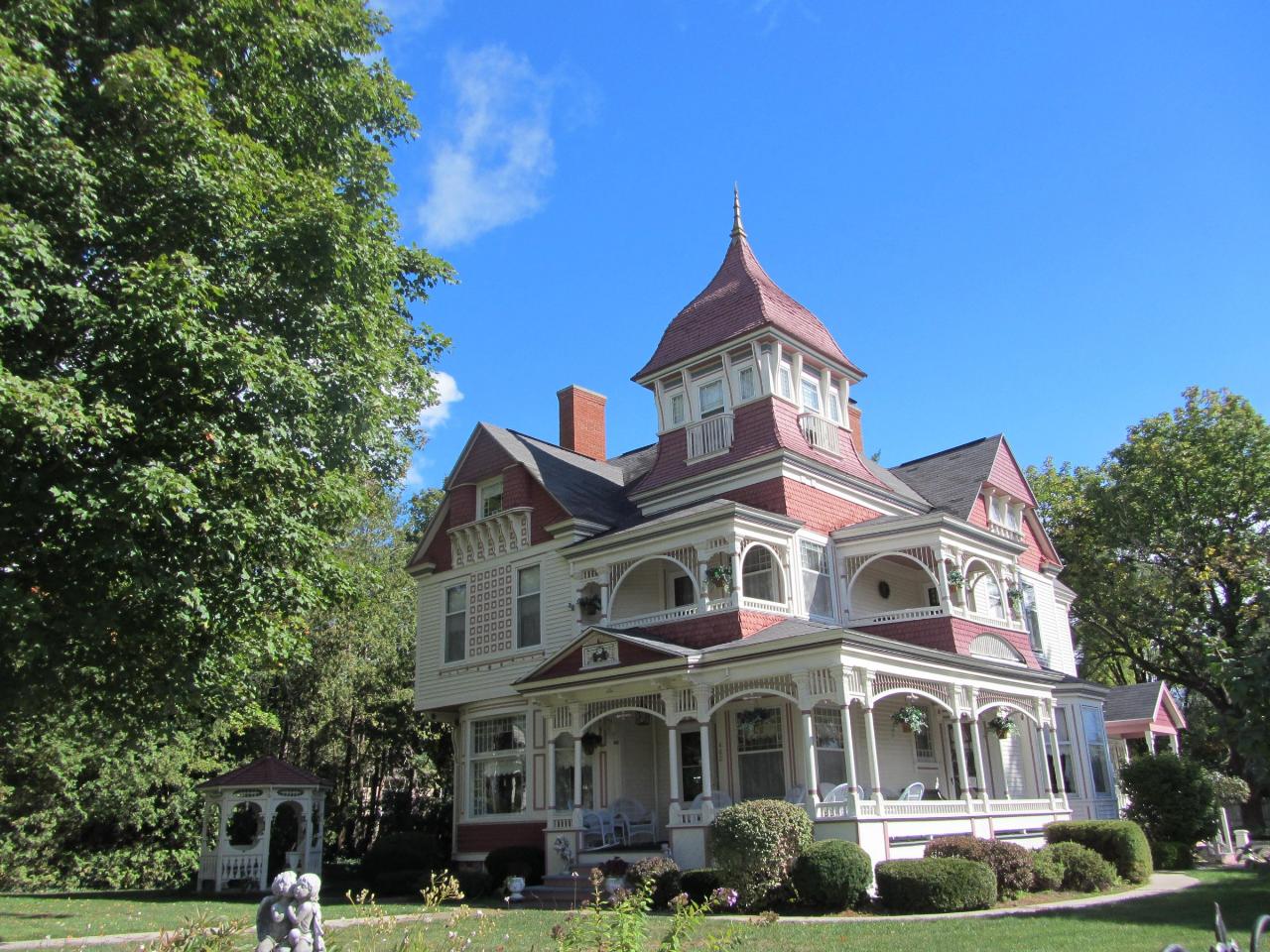
 The Henry Richardi House on North Bridge Street, a block from the park that carries his name courtesy of Dkanaris↗ (CC BY-SA 3.0↗)
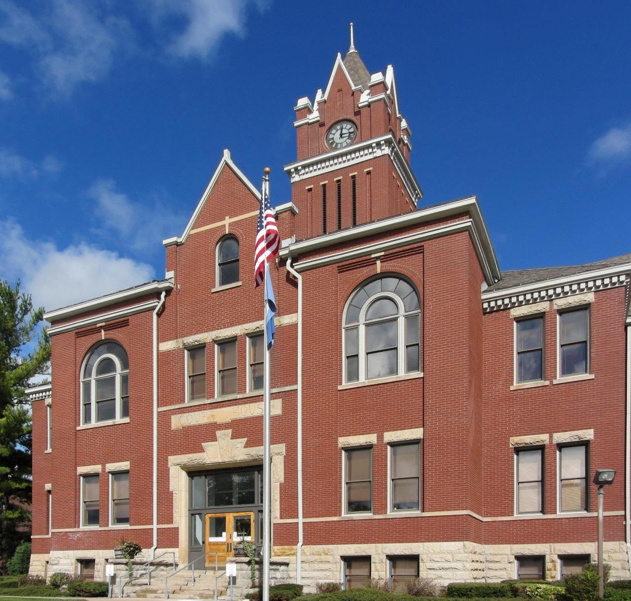
 The Antrim County Courthouse in downtown Bellaire, a short walk south of the park courtesy of Dkanaris↗ (CC BY-SA 3.0↗)

Other Swimming Holes, Hiking Trails, Canoeing Areas, and Kayaking Areas Nearby
Michigan Beach Park
Charlevoix
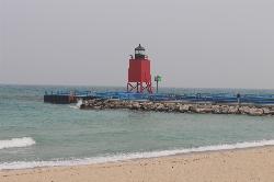
23.6 miles NFree city beach on open Lake Michigan beside the Charlevoix South Pier Light, with 2,000 feet of sand, a rocky shoreline band, restrooms and a playground. No dogs, and keep clear of the pier.
Hike, Swim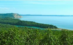
North Bar Lake
Empire
43.0 miles WA small, shallow inland lake in Sleeping Bear Dunes National Lakeshore near Empire, warmer than Lake Michigan and separated from it by a low sand bar you can walk across in a couple of minutes.
Canoe, Kayak, Swim
Sleeping Bear
Honor, Michigan
49.5 miles WSwim near Honor, Michigan
Swim
Beulah Public Beach
Beulah
49.9 miles SWA free village beach at the east end of Crystal Lake, with several hundred feet of sand and a marked swim area that shelves out shallow and warm. The Village of Beulah owns it and charges nothing to swim or to park, but dogs are banned and the weekly E. c
Canoe, Hike, Kayak, Swim


