


Michigan Beach Park
Charlevoix
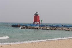
Hike and Swim
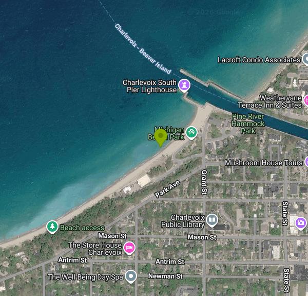
Michigan Beach Park (the city's parks plan also calls it Lake Michigan Beach Park) is the City of Charlevoix's main Lake Michigan swimming beach. The Recreation Department runs it as one of the city's three primary beaches. The park covers about 14.6 acres at 95 Grant Street and has roughly 2,000 feet of sandy frontage running from the south pier of the Pine River Channel southwest to the city limits. It is the city's oldest park property, bought in 1882 for a lifesaving station whose old building now houses a Michigan DNR Fisheries office.
The beach sits on the south side of the channel mouth, a short walk west of downtown Charlevoix and the US 31 drawbridge. Take Park Avenue or Grant Street toward the lake. Parking areas line the upper park along Park Avenue, and a lot sits close to the beach entrance by the pavilion, though summer weekends fill it early. Stairways and paths drop from the wooded upper section to the sand, and roll-out Mobi mats cross the beach for wheelchairs and strollers.
You swim in open Lake Michigan here, not a sheltered bay. The beach is wide and sandy, but the first few feet of water carry a band of cobbles and flat rocks before the bottom turns back to sand, so water shoes help. Depth builds gradually off the main beach. This is northern Lake Michigan, so the water is cold in June and usually only reaches the 60s Fahrenheit in late July and August, and a west wind can push it colder overnight. The city's pages don't mention lifeguards, so plan on swimming without one.
Entry is free. The City lists no beach fee, gate or parking pass, and the beach draws visitors from across northern Michigan, not only residents. Reserving the beach pavilion costs extra (in 2026, $80 to $120 a day for non-residents), but that is optional. Dogs are not allowed on the city's three swimming beaches. A private vendor runs a seasonal concession stand, and there are restrooms on site.
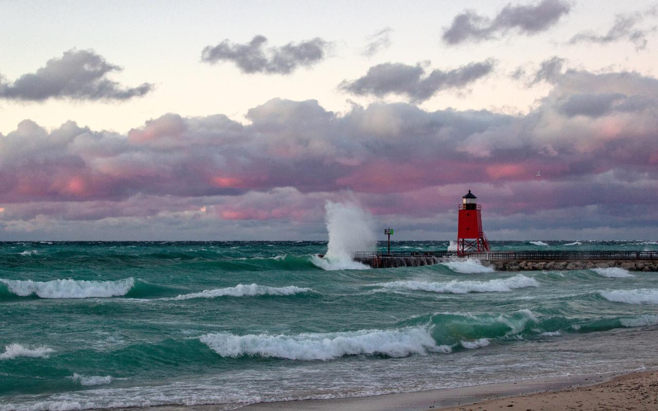
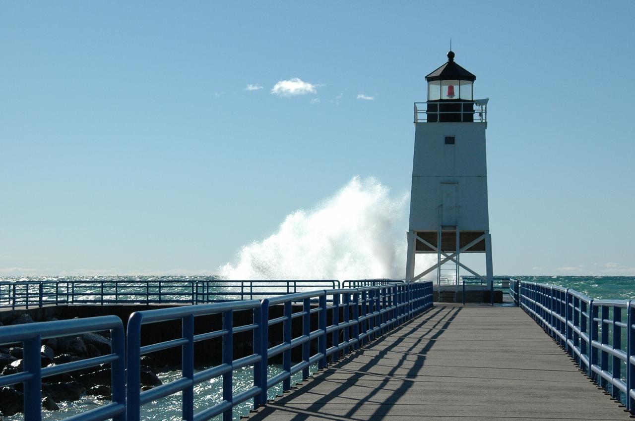
The biggest hazard is the south pier itself. The city's own parks plan flags large waves washing over the pier, and Great Lakes piers and breakwalls produce strong currents along their sides when waves build. Stay well away from the pier and the channel mouth when you swim, keep off the pier in high surf, and watch for National Weather Service beach hazard statements for Charlevoix County. The Health Department of Northwest Michigan samples public beaches in Charlevoix County weekly during summer for E. coli and posts advisory signs at the entrance when a beach fails, and current results appear on the state's BeachGuard site.
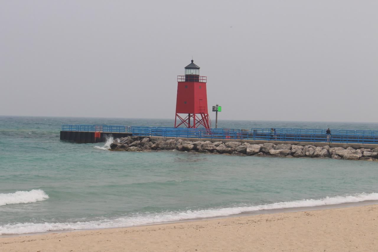
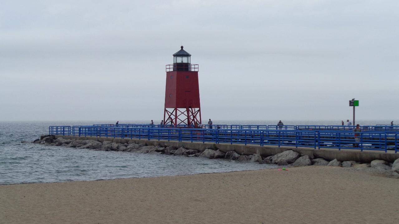
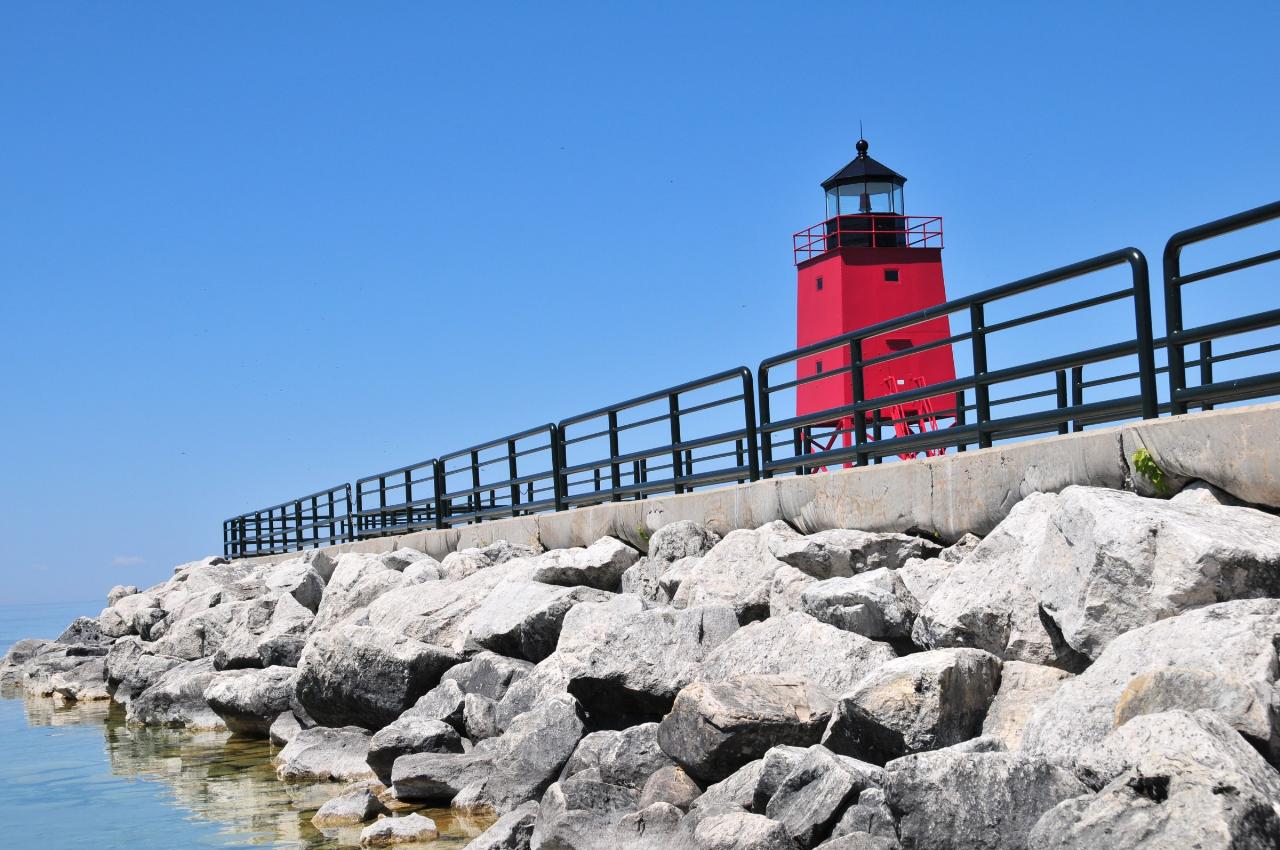
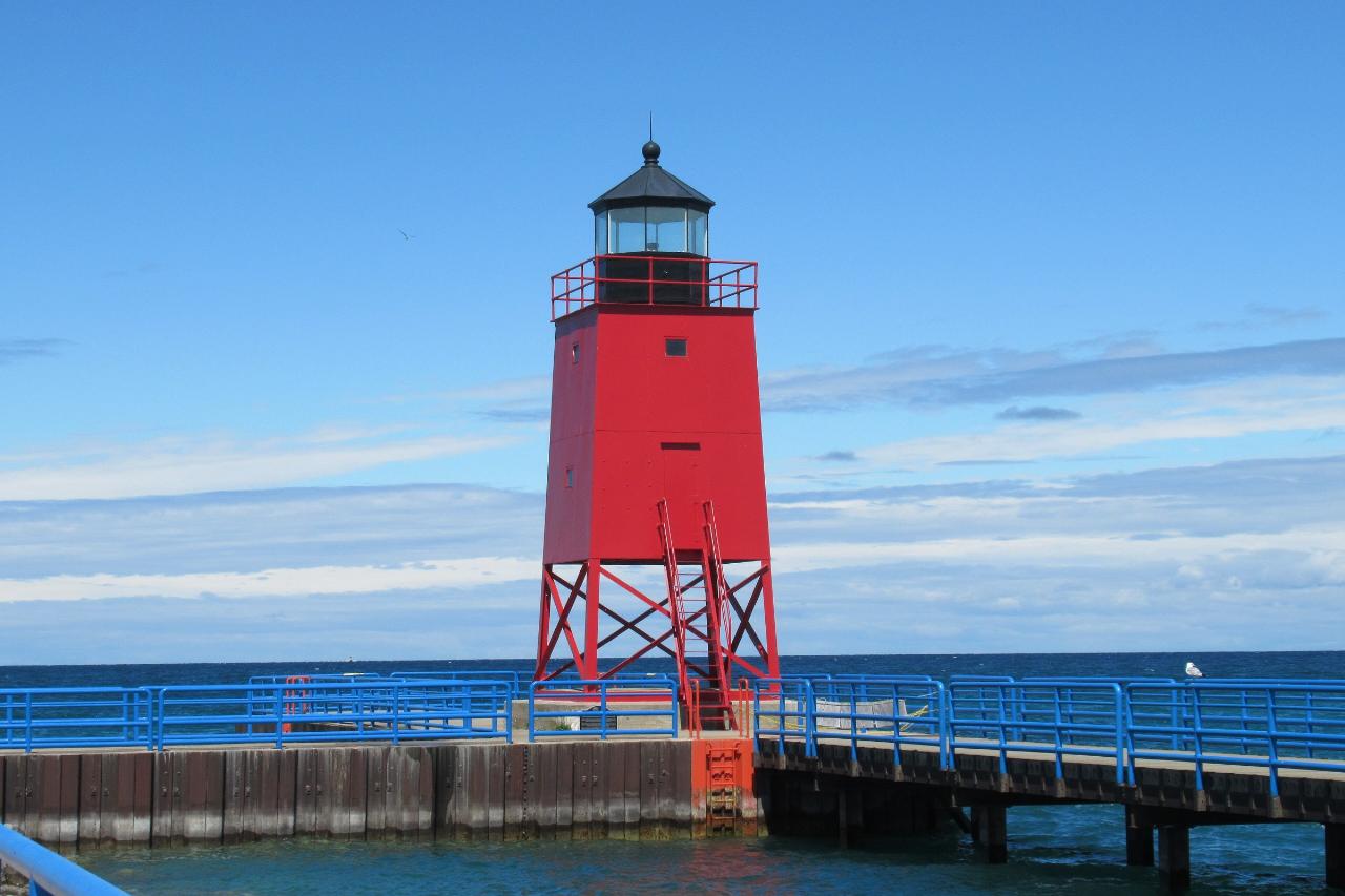
Beyond the water, the park has a playground (one in the sand, an accessible one on the lawn), a sand volleyball net, a basketball court, picnic tables, the covered pavilion and wooded walking paths with benches in the southwest section. The red Charlevoix South Pier Light stands at the end of the pier, and the rocky edges of the beach are a good place to hunt for Petoskey stones, especially when they are wet. Sunsets over the lake are the main event most evenings.
More Information
Beach monitoring program begins in Northwest Michigan on June 22 – 9and10News.com
NewsWeatherSportsOn DemandCommunityThe FourAdvertiseElections 2026 Watch NowNewsLocalMichiganCrimeHealthHifi Health NewsNationalElections 2026Submit A News TipWeatherLatest ForecastBeyond The ForecastWeather CamsSchool ClosingsInteractive RadarWeather StationsLocal River LevelsSki ReportSportsSchoolsSports CoverageScoresFish & GameVideo SeriesPodcastsVirtual Buck PoleOn DemandOriginal Programming9&10 NewsSportsThe FourGood Day Northern MichiganPodcastsWatch LiveCommunityViewer PhotosExpert TipsContests & EventsVeterans Resource StationThe FourGiveawaysRecipesAs Seen On The FourAdopt A PetPodcastsLocalBeach monitoring program begins in Northwest Michigan on June 22 Joe Warner06-18-2026 at 02:57:39 PM EDT| Updated 06-18-2026 at 02:57:40 PM EDTLink Copied!The Health Department of Northwest Michigan will begin its annual beach monitoring program on Monday, June 22. The program aims to ensure safe recreational water conditions throughout the summer season.
https://www.9and10news.com/2026/06/18/beach-monitoring-program-begins-in-northwest-michigan-on-june-22/Beach water monitoring
Information about beach closings, monitoring efforts and E. coli test results from local health department offices.
https://www.michigan.gov/egle/about/organization/water-resources/beachesMichigan Beach Park Master Plan 2018 | Charlevoix, MI
Create a Website Account - Manage notification subscriptions, save form progress and more.
https://www.charlevoixmi.gov/456/Michigan-Beach-Park-Master-Plan-2018Michigan Beach Park | Visit Charlevoix, Michigan | Charlevoix the Beautiful!
Get detailed information on the local Attraction, Michigan Beach Park, located in or around Charlevoix, Michigan.
https://www.visitcharlevoix.com/Michigan-Beach-Park/Pavilions | Charlevoix, MI
If you are looking for an affordable venue for your rehearsal dinner, graduation open house, family reunion or bridal shower, look no further than our beach pavilions! The City has 5 pavilions, located at Lake Michigan Beach, Depot Beach and 3 at Ferry Beach. Each pavilion offers picnic tables, outdoor grills, electric outlets, and trash receptacles.
https://www.charlevoixmi.gov/361/PavilionsRecreation | Charlevoix, MI
The Recreation Department oversees all City recreational facilities, including operating all activities at Mt. McSauba and Camp McSauba, the Carpenter Avenue Ball Fields, the Charlevoix Community Skate Park, Volleyball, Softball, and Basketball Leagues, Youth Programs, and the City’s three main Beaches and five Pavilions. Additionally, the Recreation Department oversees the Charlevoix Golf Club and City Marina.
https://www.charlevoixmi.gov/186/RecreationBe courteous, informed, and prepared. Read trailhead guidelines, stay on the trail, and don't feed the wildlife.
Read More
- Plan Ahead and Prepare
- Travel & camp on durable surfaces
- Dispose of waste properly
- Leave what you find
- Minimize campfire impacts
- Respect wildlife
- Be considerate of other visitors
Directions
From Charlevoix
- Head north on Bridge Park Dr toward Bridge St (266 ft)
- Turn left onto Bridge St (105 ft)
- Turn right onto Park Ave (0.3 mi)
- Turn right onto N Grant St (318 ft)
- Turn left onto Palmer CirDestination will be on the right(390 ft)
 Surf rolling onto the sand at Michigan Beach Park, with the south pier and its red light behind. courtesy of j33pman↗ (CC BY-SA 2.0↗)
 The beach at Michigan Beach Park on an overcast July day, looking out to the pier walkway and lighth courtesy of Notorious4life (talk) (Uploads)↗ (CC0↗)
 Storm waves breaking along the beach and over the south pier, the conditions to stay out of the wate courtesy of Scottb211 from Gaylord, Michigan, U.S.A.↗ (CC BY 2.0↗)
 Clear Lake Michigan water against the armor stone at the base of the south pier. courtesy of abarndweller↗ (CC BY 2.0↗)
 The Charlevoix South Pier Light at the end of the pier off Michigan Beach Park. courtesy of Notorious4life (talk) (Uploads)↗ (CC0↗)
 The railed walkway out the south pier to the light, with spray from waves on the lake side. courtesy of abarndweller↗ (CC BY 2.0↗)
Other Swimming Holes and Hiking Trails Nearby

Zorn Park Beach
Harbor Springs
15.3 miles NEThe City of Harbor Springs' free public swim beach on Little Traverse Bay, with a swim platform, seasonal lifeguards until 6 PM, and cold spring-fed water steps from downtown.
Swim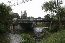
Richardi Park
Bellaire
23.6 miles SA free village swimming beach on the Intermediate River impoundment at the head of Richardi Dam, a block north of downtown Bellaire. There is no lifeguard, and the county health department posts weekly E. coli results for this beach all summer.
Canoe, Hike, Kayak, Swim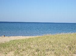
Dam Beach
Elk Rapids
29.7 miles SFree Village of Elk Rapids beach on East Grand Traverse Bay beside the Elk Rapids hydroelectric dam, with a sandy bottom, a small lot off Dam Road, and a busy fishing spot at the river mouth.
Kayak, Swim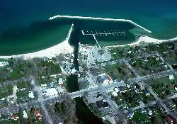
Van's Beach
Leland
31.8 miles SWFree public sand beach on Lake Michigan next to Leland's harbor and Fishtown, run by Leland Township, with shallow water on calm days, Leland Blue stones and no lifeguard.
Kayak, Swim
DeVoe Beach
Indian River
31.9 miles EA free Tuscarora Township beach on a shallow, sandy cove of Burt Lake beside the Indian River mouth, a short walk from downtown Indian River, with a pavilion, restrooms and the Veterans Pier.
Canoe, Kayak, Swim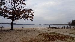
Otsego Lake State Park
Gaylord
38.8 miles SEA Michigan DNR state park beach on the southeast shore of Otsego Lake south of Gaylord, with a buoyed sandy swim area. A Recreation Passport is required for vehicle entry.
Camp, Canoe, Kayak, Swim
West End Beach
Traverse City
42.0 miles SWA free city beach on the West Arm of Grand Traverse Bay, along Grandview Parkway just west of downtown Traverse City, with open Lake Michigan bay water, sand volleyball and the TART Trail behind it.
Swim


