


Deckers Creek Trail
Masontown, West Virginia
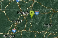
| GPS: |
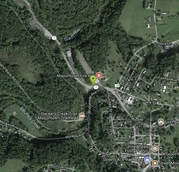
39°33'21.9"N 79°48'6.7"W Maps | Directions |
| State: | Virginia |
Swim

- Plan Ahead and Prepare
- Travel & camp on durable surfaces
- Dispose of waste properly
- Leave what you find
- Minimize campfire impacts
- Respect wildlife
- Be considerate of other visitors
Directions
From Masontown, West Virginia
- Head west on Depot Way toward Martin Ave (0.3 mi)
- Continue onto Bridgeway Ave (0.2 mi)
- Turn left onto WV-7 WDestination will be on the right(243 ft)
Other Swimming Holes Nearby
Big Sandy Creek Area
Cabins, West Virginia
4.1 miles NEWest Virginia's Big Sandy Creek hollows are a favorite WVU swim escape — crystal-clear and clothing-optional, but do not enter at high flows.
Swim 
Grafton Area
Masontown, West Virginia
10.6 miles SWSwim near Masontown, West Virginia
Swim 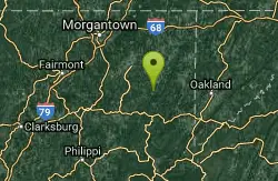
Kingwood Area
Webster Springs, West Virginia
11.2 miles SESwim near Webster Springs, West Virginia
Swim 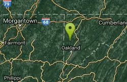
Swallow Falls State Park
Oakland, Maryland
20.8 miles ETwo sets of waterfalls and multiple swimming holes in Swallow Falls State Park — dive into the pools below each falls, but never swim or climb directly above Muddy Creek Falls where people have fallen to their death.
Swim 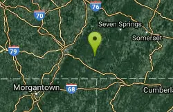
Ohiopyle Area
Ohiopyle, Pennsylvania
26.7 miles NESwim near Ohiopyle, Pennsylvania
Swim 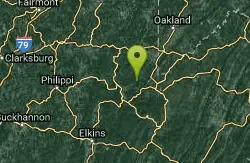
Horseshoe Bend Area
Webster Springs, West Virginia
28.0 miles SSwim near Webster Springs, West Virginia
Swim 
New Germany State Park
Swanton, Maryland
35.4 miles EA mountain gem tucked between Big Savage Mountain and the Continental Divide, with ten miles of multi-use trails, a small lake for fishing and swimming, and a true off-the-grid atmosphere.
Backcountry Ski, Camp, Canoe, Cross-country Ski, Hike, Mountain Bike, Snowshoe, Swim 
Otter Creek Area
Parsons, West Virginia
36.5 miles SA network of swimming spots in and around Otter Creek Wilderness in the Monongahela National Forest — remote, scenic, and clothing optional in some areas.
Swim 
Mount Storm Area
Valley Head, West Virginia
38.0 miles ESwim near Valley Head, West Virginia
Swim 1.6 mi
Creek Falls
Scottdale, Pennsylvania
38.1 miles NA short hike near Pittsburgh to a waterfall swimming hole with 15–20-foot cliff jumps and a swim-behind-the-falls.
Dive, Hike, Swim 
Audra State Park
Volga, West Virginia
38.3 miles SAn organized river swimming area at Audra State Park in West Virginia — a concrete pad beach with lifeguards in a scenic river setting. Fees apply.
Swim 
Blue Hole Barronvale
Rockwood, Pennsylvania
39.3 miles NESwim near Rockwood, Pennsylvania
Swim 
Stuart
Elkins, West Virginia
43.8 miles SAn attractive, well-developed swimming spot in West Virginia with cool water, a sandy beach, and a safe, calm atmosphere — day use runs $3.
Swim 
Red Creek
Davis, West Virginia
45.4 miles SEA remote West Virginia canyon hides multiple waterfalls, natural water slides, and deep swimming pools along a 6.3-mile out-and-back through dramatic rock formations.
Camp, Hike, Kayak, Swim 
River Access Hole
Cabins, West Virginia
49.6 miles SEScenic forested rock formations and the rushing North Fork South Branch of the Potomac River offer wading, swimming, fly fishing, and float access — wear foot protection in the rocky riverbed.
Canoe, Kayak, Swim, WhitewaterNearby Campsites
New Germany State Park
Swanton, Maryland
35.4 miles EA mountain gem tucked between Big Savage Mountain and the Continental Divide, with ten miles of multi-use trails, a small lake for fishing and swimming, and a true off-the-grid atmosphere.
Backcountry Ski, Camp, Canoe, Cross-country Ski, Hike, Mountain Bike, Snowshoe, Swim
Red Creek
Davis, West Virginia
45.4 miles SEA remote West Virginia canyon hides multiple waterfalls, natural water slides, and deep swimming pools along a 6.3-mile out-and-back through dramatic rock formations.
Camp, Hike, Kayak, Swim


