


Red Creek
Davis, West Virginia

| GPS: |
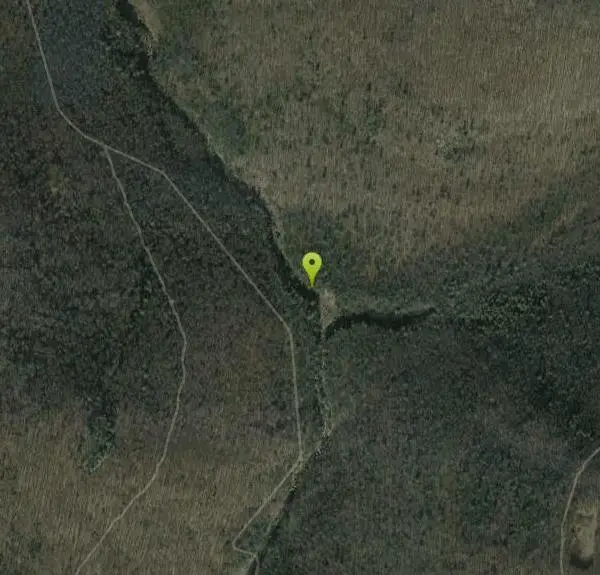
38°59'52.1"N 79°21'19.8"W Maps | Directions |
| State: | Virginia |
Camp, Hike, Kayak, and Swim
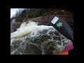
Red Creek is a long out and back trail that gives visitors access to a variety of activities in beautiful scenery. The trail is 6.3 miles long and is moderately difficult. Along the way visitors can see spectacular views and enjoy swimming in parts of the Red Creek where the water slows and deepens. The creek creates a deep canyon that has several beautiful waterfalls, natural water slides and unique rock formations. Hikers should come prepared with food and water as there is no drinking water available on the trail.
Red Creek is also known for it's white water rafting access. Kayakers frequently enjoy these rapids. Only swimmers and kayakers with experience should approach the water here and should check for water levels and safety before entering the water.
There is a primitive campsite available for those wanting to take a break in the hike and enjoy the nature through the night. Campers need to carry everything they need in and out with them, and leave this campsite a pristine respite.
More Information
Red Creek Trail Hiking Trail, Davis, West Virginia
Red Creek Trail has some intermediate to difficult climbs but rewards with the views along the creek Near Davis, West Virginia.
https://www.hikingproject.com/trail/7005104/red-creek-trailBe courteous, informed, and prepared. Read trailhead guidelines, stay on the trail, and don't feed the wildlife.
Read More
- Plan Ahead and Prepare
- Travel & camp on durable surfaces
- Dispose of waste properly
- Leave what you find
- Minimize campfire impacts
- Respect wildlife
- Be considerate of other visitors
Directions
From Davis, West Virginia
- Head east on WV-32 S/
William Ave toward 3rd St Continue to follow WV-32 S(11.3 mi) - Sharp left onto Laneville Rd (4.4 mi)
- Slight left at Bonner Mountain Rd (331 ft)
- Continue onto Laneville Rd (1.1 mi)
- Continue onto Forest Rd 19 (0.3 mi)
- Continue onto Delta 19 (1.0 mi)
- Continue onto Forest Rd 19 (2.7 mi)
- Turn left onto Brushy Ridge Rd (2.2 mi)

Other Swimming Holes, Hiking Trails, and Kayaking Areas Nearby
River Access Hole
Cabins, West Virginia
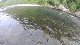
6.2 miles EScenic forested rock formations and the rushing North Fork South Branch of the Potomac River offer wading, swimming, fly fishing, and float access — wear foot protection in the rocky riverbed.
Canoe, Kayak, Swim, Whitewater
Big Bend
Cabins, West Virginia
9.5 miles SEA sandy-beached swimming hole on the Potomac River with deep enough water for splashing and a circular current perfect for tubing — plus a campground with showers and fire pits.
Swim
Cave Hole
Seneca Rocks, West Virginia
11.0 miles SA free, fee-free swimming hole on the North Fork South Branch Potomac River near Seneca Rocks, with blue-green water, a rocky beach, cliff reflections, and shaded alcoves — no diving.
Swim
Seneca Area
Shady Spring, West Virginia
11.0 miles SSwim near Shady Spring, West Virginia
Swim
Seneca Falls
Seneca Rocks, West Virginia
11.3 miles SA moderately difficult 3.5-mile forested hike to Seneca Falls — a cascade encircling a clear pool with a sloping rocky beach where you can swim right beneath the falls.
Hike, Swim
Upper Falls of Seneca Creek
Whitmer, West Virginia
14.4 miles SWA 30-foot cascade tumbles into a deep green pool at the end of a 5-mile moderately challenging hike through beautiful creek and forest scenery in West Virginia.
Swim
Petersburg Area
Parsons, West Virginia
14.4 miles ESwim near Parsons, West Virginia
Swim
Welton Park
Petersburg, West Virginia
14.4 miles EA beautiful 29-acre riverside park on the Potomac River with beach and dock access, kayak and canoe put-in, picnic areas, campsites, a playground, and a growing holiday light show.
Swim
Otter Creek Area
Parsons, West Virginia
15.7 miles WA network of swimming spots in and around Otter Creek Wilderness in the Monongahela National Forest — remote, scenic, and clothing optional in some areas.
Swim
Horseshoe Bend Area
Webster Springs, West Virginia
18.3 miles NWSwim near Webster Springs, West Virginia
Swim
Stuart
Elkins, West Virginia
23.3 miles WAn attractive, well-developed swimming spot in West Virginia with cool water, a sandy beach, and a safe, calm atmosphere — day use runs $3.
Swim 1.2 mi
Mule Hollow
Elkins, West Virginia
25.3 miles SWA private pool in Shaver's Fork river with flat sunbathing rocks all around — quiet and secluded, reached by a mile walk along active train tracks (wear sturdy shoes).
Swim
High Falls
Elkins West, Virginia
27.5 miles SWA 7.5-mile moderate hike or mountain bike ride in West Virginia leading to a spectacular waterfall with a swimming hole below — or skip the hike and ride the train in from Bemis for about $10.
Hike, Swim
Bemis Area
Volga, West Virginia
27.6 miles SWSwim near Volga, West Virginia
Swim
Blue Hole Bergton
Bergton, Virginia
28.0 miles SEA scenic day-use picnic area on a river in Rockingham County — flooding and erosion have made it shallower over time, best now for wading and enjoying the forest and rock surroundings.
Swim
Kingwood Area
Webster Springs, West Virginia
34.1 miles NWSwim near Webster Springs, West Virginia
Swim
Mount Storm Area
Valley Head, West Virginia
34.4 miles NESwim near Valley Head, West Virginia
Swim
Swallow Falls State Park
Oakland, Maryland
34.9 miles NTwo sets of waterfalls and multiple swimming holes in Swallow Falls State Park — dive into the pools below each falls, but never swim or climb directly above Muddy Creek Falls where people have fallen to their death.
Swim
Audra State Park
Volga, West Virginia
38.3 miles WAn organized river swimming area at Audra State Park in West Virginia — a concrete pad beach with lifeguards in a scenic river setting. Fees apply.
Swim
New Germany State Park
Swanton, Maryland
39.6 miles NA mountain gem tucked between Big Savage Mountain and the Continental Divide, with ten miles of multi-use trails, a small lake for fishing and swimming, and a true off-the-grid atmosphere.
Backcountry Ski, Camp, Canoe, Cross-country Ski, Hike, Mountain Bike, Snowshoe, SwimNearby Campsites
New Germany State Park
Swanton, Maryland
39.6 miles NA mountain gem tucked between Big Savage Mountain and the Continental Divide, with ten miles of multi-use trails, a small lake for fishing and swimming, and a true off-the-grid atmosphere.
Backcountry Ski, Camp, Canoe, Cross-country Ski, Hike, Mountain Bike, Snowshoe, Swim
North River Gap
Mount Solon, Virginia
45.3 miles SA free recreation area with an easy 2.4-mile river gorge hike through lush forest, a wading and swimming spot in the North River, and primitive campsites for $5 a night.
Camp, Hike, Swim
Natural Chimneys
Mount Solon, Virginia
46.5 miles STowering vertical limestone formations draped in trees and vines, with shallow river swimming holes, 2.5 miles of hiking and biking trails, and a well-equipped 135-site campground.
Camp, Hike, Mountain Bike, Swim


