


Mill Run Recreation Area
Friendsville
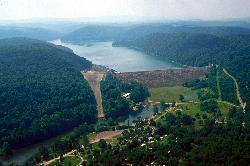
Camp, Canoe, Kayak, and Swim
Mill Run Recreation Area sits on a side cove of Youghiogheny River Lake in Garrett County, Maryland, a few miles north of Friendsville and just south of the Mason-Dixon line. The cove is the drowned mouth of Mill Run, a small mountain stream that used to join the Youghiogheny here and now runs straight into flat water. The Army Corps of Engineers Pittsburgh District owns and operates the whole reservoir, and Mill Run is one of its developed access points: a swimming beach, a boat ramp, a playground and a 30 site campground, all clustered at the end of one road.
Swimming is sanctioned here. The Corps lists it among the official activities at the site and there is a marked beach. There is no lifeguard and nobody watching the water, so everything that happens in it is on you.
The water is reservoir water, not spring water. Youghiogheny River Lake covers about 2,800 acres, runs 16 miles from the dam at Confluence back up into Maryland, and has 38 miles of shoreline. Average depth is around 54 feet with a maximum near 121 feet, so the main body is cold and dark well before you get far out. The cove at Mill Run is shallower and warmer, and it comes up to temperature fastest in July and August. Visibility is moderate. This is a working flood control reservoir, which matters more than the numbers do: every autumn the Corps draws the pool down hard for winter storage, and the beach ends up well above a shrunken lake with a wide band of mud and old stumps in between. The swimming season is effectively Memorial Day through Labor Day, and the campground itself typically opens around the first of May and closes in September.
Getting there means leaving the interstate behind. From US 40, turn onto Friendsville Addison Road and follow it roughly three miles, then turn onto Mill Run Road and stay on it until it ends at the campground. The last stretch is narrow and rural. Parking is the campground and boat ramp lot, which is adequate on an ordinary weekday and tight on a summer Saturday, because the ramp stays busy. Youghiogheny River Lake is a powerboat and water ski lake, one of the better ones in the region, and the ramp traffic reflects that. Keep well inside the swimming area and stay visible.
Fees are set by the Corps of Engineers. Camping is $20 a night, booked through Recreation.gov or by calling (877) 444-6777, with a 14 night limit and a maximum of two tents per site. The campground number is (814) 395-3242. The Corps does not publish a separate day use charge for the beach, so call ahead if that matters to your plans. Alcohol is prohibited across the site.
The setting is northern hardwood forest on steep slopes, beech and sugar maple and white ash and yellow poplar and basswood, with deer, turkey and grouse around. There are flush toilets, drinking water and a dump station. Friendsville, ten minutes south, is the take-out town for the Upper Youghiogheny, one of the hardest commercially run whitewater stretches in the East, so on a release day the town fills up with rafts and gear.
More Information
Bear Creek at Friendsville, MD - USGS Water Data for the Nation
Discover water data collected at monitoring location USGS-03076600, located in Garrett County, Maryland and find additional nearby monitoring locations.
https://waterdata.usgs.gov/monitoring-location/USGS-03076600/Corps Lakes Gateway: Pennsylvania - Youghiogheny River Lake
An official website of the United States government Here's how you know
https://corpslakes.erdc.dren.mil/visitors/projects.cfm?ID=H420380Mill Run at Mineral Spring, MD - USGS Water Data for the Nation
Discover water data collected at monitoring location USGS-03076800, located in Garrett County, Maryland and find additional nearby monitoring locations.
https://waterdata.usgs.gov/monitoring-location/USGS-03076800/Mill Run Recreation Area, Youghiogheny River Lake - Recreation.gov
Explore Mill Run Recreation Area in Youghiogheny River Lake, Pennsylvania with Recreation.gov. The Mill Run Camping Area is located on Youghiogheny River Lake in the heart of the Laurel Highlands. The lake spans the Mason-Dixon Line between Pennsylvania a
https://www.recreation.gov/camping/campgrounds/159090Outflow Camping, Youghiogheny River Lake - Recreation.gov
Explore Outflow Camping in Youghiogheny River Lake, Pennsylvania with Recreation.gov. The Outflow Camping Area is located on Youghiogheny River Lake in the heart of the Laurel Highlands. The lake spans the Mason-Dixon Line between Pennsylvania an
https://www.recreation.gov/camping/campgrounds/233679Water Data - U.S. Army Corps of Engineers
Explore comprehensive data on water management, resources, and quality with our interactive platform. Easily map and visualize key infrastructure, including dams, rivers, streamgages, and other critical sites managed by the United States Army Corps of Engineers. Access detailed insights and stay informed about essential water data across the United States.
https://water.usace.army.mil/overview/YOUGHYoughiogheny River Lake - Camping | Pennsylvania | Recreation.gov
Reserve camping, permits & activities at Youghiogheny River Lake, Pennsylvania. 4 campgrounds. Book official reservations on Recreation.gov.
https://www.recreation.gov/camping/gateways/412Youghiogheny River Reservoir
An official website of the State of Maryland.
https://dnr.maryland.gov/fisheries/Pages/hotspots/youghiogheny.aspxYoughiogheny Wild River Natural Environmental Area
An official website of the State of Maryland.
https://dnr.maryland.gov/publiclands/Pages/western/youghiogheny.aspx
- Plan Ahead and Prepare
- Travel & camp on durable surfaces
- Dispose of waste properly
- Leave what you find
- Minimize campfire impacts
- Respect wildlife
- Be considerate of other visitors
Directions
From Friendsville
- Head east on Maple St toward Alley (335 ft)
- Turn left onto Second Ave (0.6 mi)
- Continue onto Friendsville Addison Rd (3.9 mi)
- Turn left onto Mill Run RdDestination will be on the left(1.3 mi)
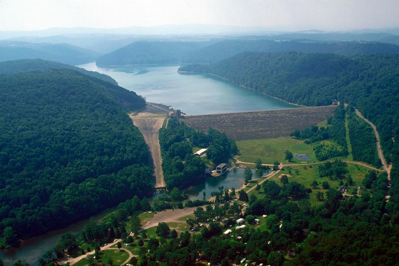
 Youghiogheny River Lake and its earthen dam from the air, looking upstream toward Maryland courtesy of Margaret Luzier, U.S. Army Corps of Engineers↗ (Public domain↗)
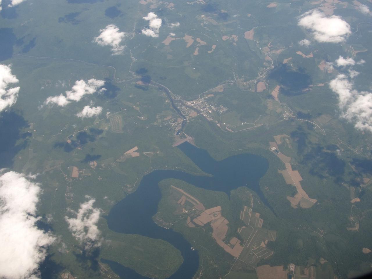
 The long narrow reservoir from a passing aircraft, with Confluence at the dam end courtesy of Ken Lund from Reno, Nevada, USA↗ (CC BY-SA 2.0↗)
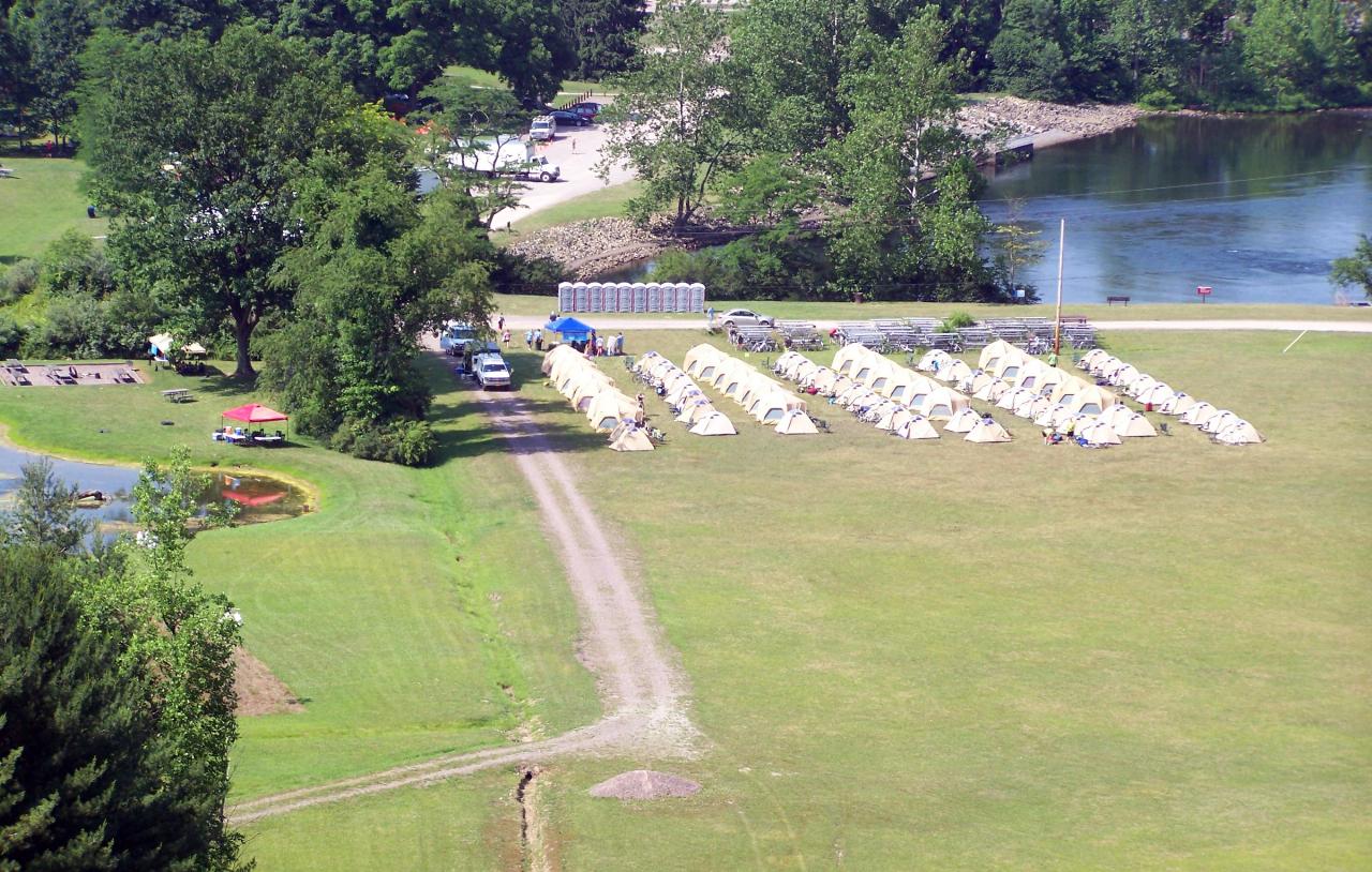
 Cyclists camped at the Corps of Engineers Outflow Campground on Youghiogheny River Lake courtesy of U.S. Army Corps of Engineers from USA↗ (CC BY 2.0↗)
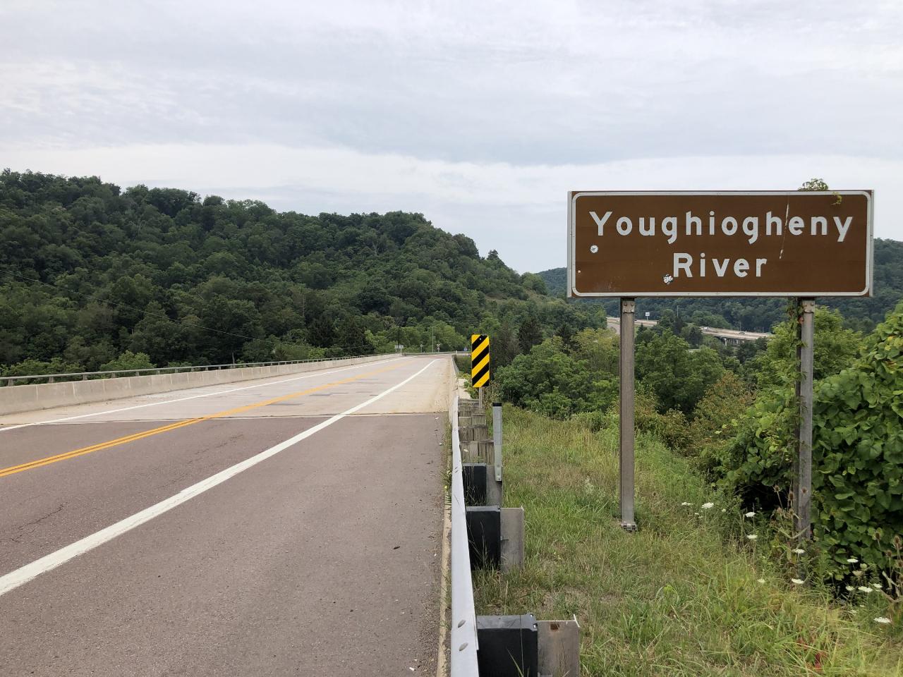
 The Youghiogheny River bridge on Maryland 42 in Friendsville, the nearest town to Mill Run courtesy of Famartin↗ (CC BY-SA 4.0↗)
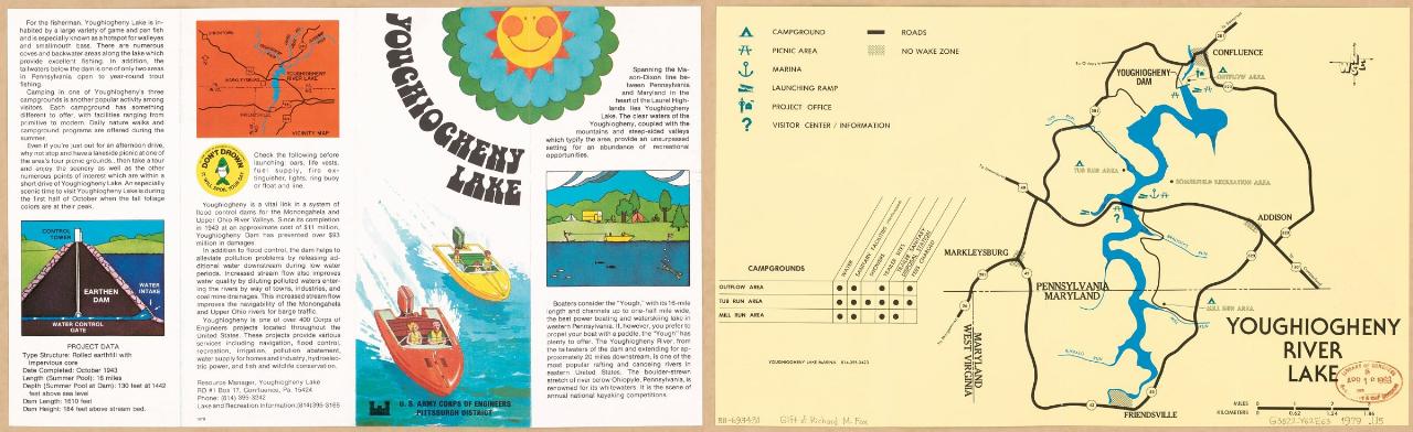
 Army Corps of Engineers recreation map of Youghiogheny River Lake showing the campgrounds courtesy of United States. Army. Corps Of Engineers. Pittsburgh District↗ (Public domain↗)
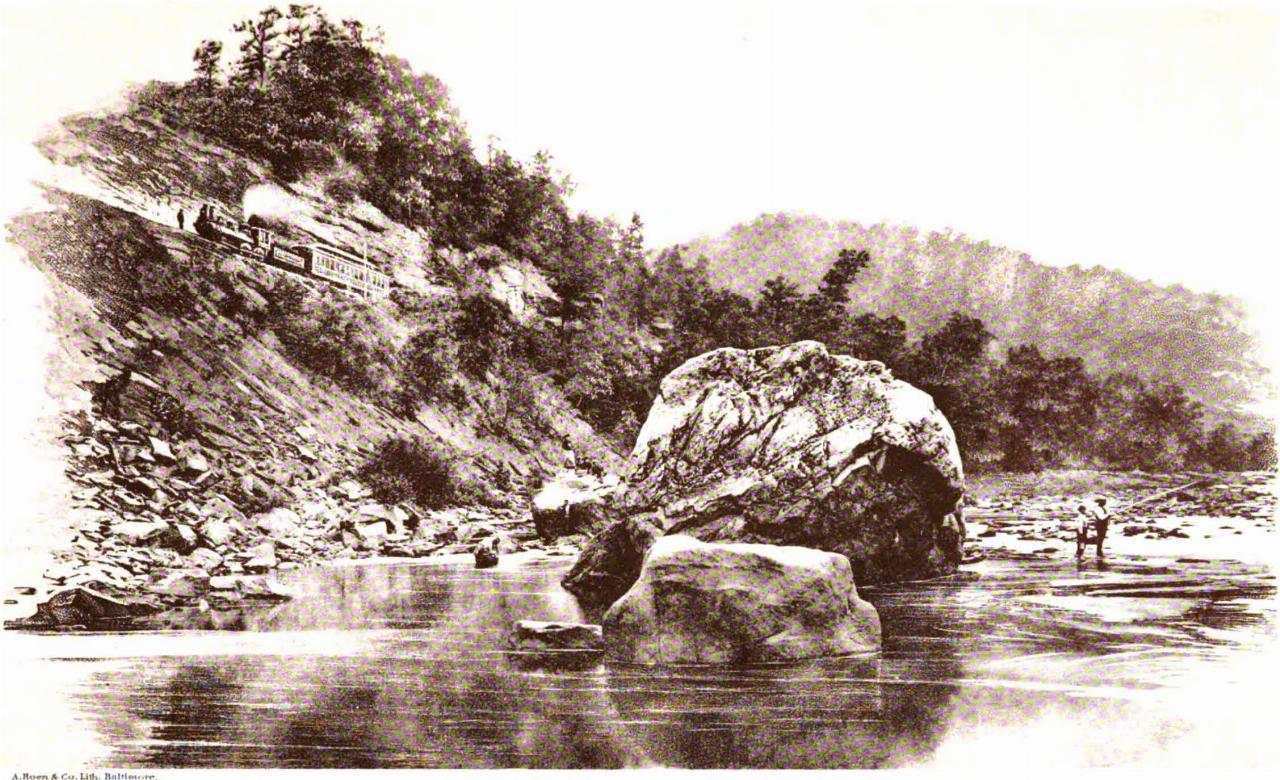
 The Youghiogheny valley in the Allegheny Mountains, from the 1897 Maryland Geological Survey courtesy of William Bullock Clark↗ (Public domain↗)
Other Swimming Holes, Canoeing Areas, and Kayaking Areas Nearby
Ohiopyle Area
Ohiopyle, Pennsylvania
11.7 miles NWSwim near Ohiopyle, Pennsylvania
Swim
Swallow Falls State Park
Oakland, Maryland
14.9 miles STwo sets of waterfalls and multiple swimming holes in Swallow Falls State Park — dive into the pools below each falls, but never swim or climb directly above Muddy Creek Falls where people have fallen to their death.
Swim
New Germany State Park
Swanton, Maryland
17.7 miles SEA mountain gem tucked between Big Savage Mountain and the Continental Divide, with ten miles of multi-use trails, a small lake for fishing and swimming, and a true off-the-grid atmosphere.
Backcountry Ski, Camp, Canoe, Cross-country Ski, Hike, Mountain Bike, Snowshoe, Swim
Blue Hole Barronvale
Rockwood, Pennsylvania
18.4 miles NSwim near Rockwood, Pennsylvania
Swim
Big Sandy Creek Area
Cabins, West Virginia
20.8 miles SWWest Virginia's Big Sandy Creek hollows are a favorite WVU swim escape — crystal-clear and clothing-optional, but do not enter at high flows.
Swim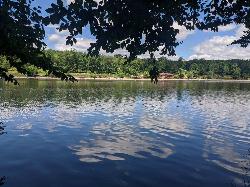
Laurel Hill State Park Beach
Somerset, Pennsylvania
20.9 miles NA sand beach on 63 acre Laurel Hill Lake in the Laurel Highlands, in a park built by the Civilian Conservation Corps and still full of its stonework.
Camp, Canoe, Hike, Kayak, Swim
Mount Storm Area
Valley Head, West Virginia
23.5 miles SESwim near Valley Head, West Virginia
Swim
Deckers Creek Trail
Masontown, West Virginia
24.8 miles SWSwim near Masontown, West Virginia
Swim
Kingwood Area
Webster Springs, West Virginia
26.3 miles SWSwim near Webster Springs, West Virginia
Swim 1.6 mi
Creek Falls
Scottdale, Pennsylvania
30.2 miles NWA short hike near Pittsburgh to a waterfall swimming hole with 15–20-foot cliff jumps and a swim-behind-the-falls.
Dive, Hike, Swim
Flat Rock
Rector, Pennsylvania
32.7 miles NSwim near Rector, Pennsylvania
Swim
Grafton Area
Masontown, West Virginia
33.9 miles SWSwim near Masontown, West Virginia
Swim
Fairhope Area
Bradford, Pennsylvania
34.7 miles ESwim near Bradford, Pennsylvania
Swim
Horseshoe Bend Area
Webster Springs, West Virginia
38.7 miles SSwim near Webster Springs, West Virginia
Swim
Davidsville
Windber, Pennsylvania
45.1 miles NESwim near Windber, Pennsylvania
Swim
Otter Creek Area
Parsons, West Virginia
48.6 miles SA network of swimming spots in and around Otter Creek Wilderness in the Monongahela National Forest — remote, scenic, and clothing optional in some areas.
Swim
Red Creek
Davis, West Virginia
49.6 miles SA remote West Virginia canyon hides multiple waterfalls, natural water slides, and deep swimming pools along a 6.3-mile out-and-back through dramatic rock formations.
Camp, Hike, Kayak, Swim
Green Ridge State Park
Rock Hall, Maryland
49.6 miles ESwim near Rock Hall, Maryland
SwimNearby Campsites
New Germany State Park
Swanton, Maryland
17.7 miles SEA mountain gem tucked between Big Savage Mountain and the Continental Divide, with ten miles of multi-use trails, a small lake for fishing and swimming, and a true off-the-grid atmosphere.
Backcountry Ski, Camp, Canoe, Cross-country Ski, Hike, Mountain Bike, Snowshoe, Swim
Laurel Hill State Park Beach
Somerset, Pennsylvania
20.9 miles NA sand beach on 63 acre Laurel Hill Lake in the Laurel Highlands, in a park built by the Civilian Conservation Corps and still full of its stonework.
Camp, Canoe, Hike, Kayak, Swim
Red Creek
Davis, West Virginia
49.6 miles SA remote West Virginia canyon hides multiple waterfalls, natural water slides, and deep swimming pools along a 6.3-mile out-and-back through dramatic rock formations.
Camp, Hike, Kayak, Swim


