


East Fork Crestline
Pocatello, Idaho
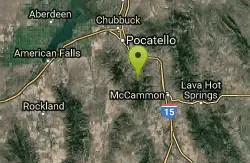
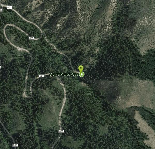
| Address: | ~Forest Rd 001, Pocatello, ID 83204, USA |
| GPS: |
42°42'25.7"N 112°21'45.2"W Maps | Directions |
| State: | Idaho |
| Trail Length: | 12.00 miles |
| Trail Type: | Lariat |
| MTB Trail Type: | Singletrack |
Mountain Bike
Head up the singletrack after about 0.6 miles look for a T which will take you to a paved road. Ride up the paved road by a campground and onto the East Fork ATV trail.East Fork ends at the Scout Mountain Top road. Go left on the dirt road and follow it until to the Crestline trail, which will be on the right. Hit Crestline downhill until you get back to the singletrack you started on. There's about 2,200 verts of climbing to start in about 6.2 miles. After that, it's a quick downhill. Courtesy of Singletracks.com
More Information
East Fork Crestline
East Fork Crestline is a singletrack mountain bike trail in Pocatello, Idaho. View maps, videos, photos, and reviews of East Fork Crestline bike trail in Pocatello.
http://www.singletracks.com/bike-trails/east-fork-crestline/Never modify trail features. Ride trails when they're dry enough that you won't leave ruts. Speak up when you see others on the trail and always yield to hikers, horses, and others coming uphill. Always ride on the established trail.
Read More
- Plan Ahead and Prepare
- Travel & camp on durable surfaces
- Dispose of waste properly
- Leave what you find
- Minimize campfire impacts
- Respect wildlife
- Be considerate of other visitors
Directions
From Pocatello, Idaho
- Head southeast on N 7th Ave toward E Wyeth St (0.2 mi)
- Turn right onto E Clark St (0.2 mi)
- Turn left onto N 4th Ave (0.3 mi)
- Turn right onto E Benton St (171 ft)
- Continue straight to stay on E Benton St (0.4 mi)
- Turn left onto S Arthur Ave (0.3 mi)
- Continue onto W Putnam St (0.1 mi)
- Continue onto S Main St (1.3 mi)
- Continue onto Bannock Hwy (6.7 mi)
- Continue onto S Mink Creek Rd (1.4 mi)
- Turn left onto E Fork Mink Creek RdMay be closed at certain times or days(0.6 mi)
- Continue onto Forest Rd 001Parts of this road may be closed at certain times or days(2.3 mi)
- Slight left (0.3 mi)
Other Mountain Bike Trails Nearby
Slate Mountain Trail
Pocatello, Idaho
2.9 miles NWA multi-use trail in Pocatello open year-round to mountain bikers, hikers, cross-country skiers, snowshoers, and horseback riders — a versatile all-season destination.
Mountain Bike 
South Fork Of Mink Creek Trail
Pocatello, Idaho
3.0 miles WThe South Fork of Mink Creek Trail is a quiet, four-season route in the Mink Creek drainage of the Caribou-Targhee National Forest, tucked into the Scout Mountain country roughly twelve miles south...
Cross-country Ski, Hike, Mountain Bike, Snowshoe 
East Fork Mink Creek Trail
Pocatello, Idaho
3.0 miles WAn early-season cross-country skiing destination near Pocatello on the East Fork Road leading to Justise Park — access depends on seasonal gate closures and snowpack conditions.
Cross-country Ski, Hike, Horseback, Mountain Bike 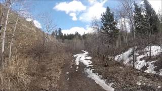
Valve House Draw
Pocatello, Idaho
3.1 miles WA motorized doubletrack trail in Pocatello that climbs through forest to the top before a 2-mile stretch of very sweet downhill singletrack — short but worth the 10-mile loop.
Cross-country Ski, Hike, Horseback, Mountain Bike 
West Fork Mink Creek Trail
Pocatello, Idaho
3.1 miles WA 3.5-mile shaded singletrack trail near Pocatello popular with hikers, horseback riders, and mountain bikers, climbing gradually to Elk Meadows Road with connections to further trails beyond.
Hike, Horseback, Mountain Bike 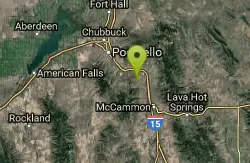
Driveway Canyon Trail
Inkom, Idaho
5.1 miles NEA motorcycle-converted singletrack trail in Driveway Canyon near Inkom, Idaho — multi-use with forest service origins.
Mountain Bike 
Slate Mountain/Gibson Jack Trail
Pocatello, Idaho
6.9 miles NWA beautiful Gibson Jack loop in Pocatello with aspen, pines, sage, and meadow views — clockwise is the preferred direction, but watch for a steep creek-bottom fork at mile 5 that can sink a tire.
Hike, Horseback, Mountain Bike 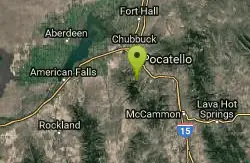
Gibson Jack/west Fork
Pocatello, Idaho
7.0 miles NWA 1,500-foot climb on mixed singletrack and doubletrack with fantastic scenery, finishing with a fast singletrack descent on Gibson Jack — better than it sounds, much better.
Mountain Bike 0.2-9.7 mi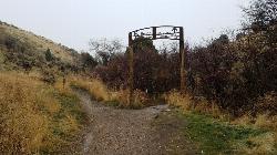
City Creek
Pocatello, Idaho
11.0 miles NWPocatello's city-maintained trail network packs over six miles of singletrack into City Creek Canyon, with everything from casual loops to a downhill-only expert run.
Hike, Horseback, Mountain Bike 
Cave Trail
Pocatello, Idaho
11.6 miles NMountain Bike near Pocatello, Idaho
Mountain Bike 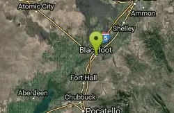
Blackfoot, ID 83221, United States
Blackfoot, Idaho
33.4 miles NHike and Mountain Bike near Blackfoot, Idaho
Hike, Mountain Bike 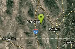
Summit Canyon Trail
Malad City, Idaho
37.7 miles SA multi-season trail near Malad City open to hikers, mountain bikers, snowmobilers, equestrians, cross-country skiers, and snowshoers — a true year-round outdoor corridor.
Mountain BikeNearby Campsites
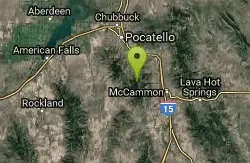
Scout Mountain Campground
Pocatello, Idaho
1.0 miles SA scenic campground at 6,900 feet on beautiful Scout Mountain, 13 miles south of Pocatello, with birding, wildlife viewing, and a variety of multi-use trails nearby.
Camp, Hike 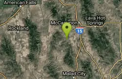
Hawkins Reservoir Campground
Arimo, Idaho
13.6 miles SFourteen campsites on a small Idaho impoundment that punches above its weight — spring through fall, plovers, sandpipers, geese, sharp-tailed grouse, mule deer, coyote, and red fox all call it home.
Camp, Canoe 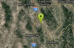
Downata Hot Springs
Downey, Idaho
26.2 miles SEA full-service hot springs resort south of Pocatello with a large naturally heated pool, four water slides, a water playground, hot tub, volleyball, six cabins, yurts, and ATV trails nearby.
Camp, Hot Springs, Swim 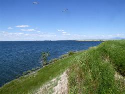
Sportsman's Park American Falls Reservoir
Aberdeen, Idaho
26.8 miles NWA 30-acre multi-use park on the American Falls Reservoir with two boat ramps, picnic shelters, RV hookups, playgrounds, volleyball courts, and a 1.1-mile paved trail along the reservoir rim.
Camp, Canoe, Hike 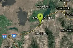
Pipeline Campground
American Falls, Idaho
27.4 miles WFive campsites on the Snake River near American Falls Reservoir — fishing for trophy brown and rainbow trout, with 30-plus species of migratory shorebirds and winter bald eagles overhead.
Camp 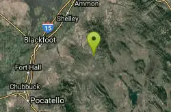
Blackfoot River Crossing at Trail Creek Road
Firth, Idaho
37.1 miles NEA remote Blackfoot River crossing accessed via a network of gravel roads near Firth, Idaho — multiple parking areas along a wildlife management area stretch of the river.
Camp 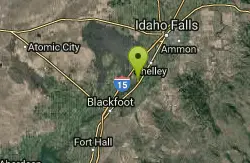
Firth River Bottoms
Firth, Idaho
42.3 miles NA community riverside park in Firth with horseback riding, picnicking, fishing, and baseball — something for the whole family along the river bottoms.
Camp, Canoe, Hike 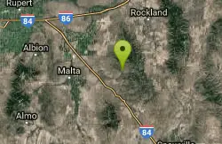
Sublett Creek Campground
Malta, Idaho
43.2 miles SWNine campsites at 5,500 feet on Sublett Creek, two miles from Sublett Reservoir, with horse facilities, a boat ramp, and trails into the Sublette Range for hiking and riding.
Camp, Canoe


