Fremont Peak
Pinedale, Wyoming
| Address: | Forest Road 740, Pinedale, WY 82941, USA |
| GPS: |
43°0'14.9"N 109°45'6.1"W Maps | Directions |
| State: | Wyoming |
| Trails/Routes: | 16.7 mi |
Backpack and Hike
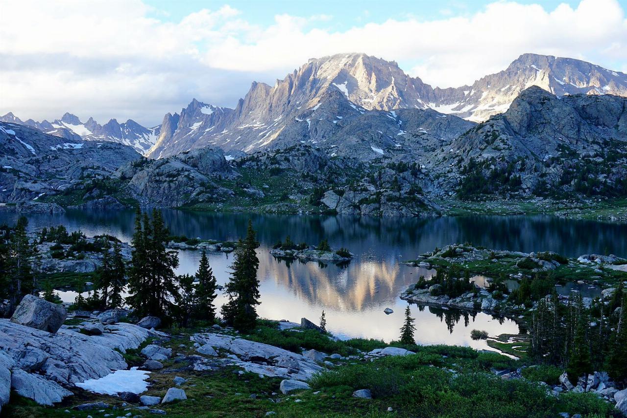
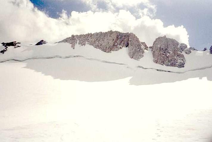
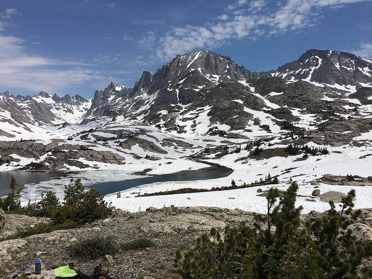
Fremont Peak is the third highest peak in Wyoming and straddles the boundary between Fremont and Sublette counties. It is named for American explorer John C. Fremont who climbed the peak with Charles Preuss and Johnny Janisse on August 13 to August 15, 1842. Kit Carson had been with the climbing party on its first attempt at the peak, but had gone back for supplies the day Fremont and his men reached the summit. Carson is thought by some to have been the first to climb neighboring Jackson Peak. At that time, Fremont Peak was mistakenly thought to be the highest mountain in the Rocky Mountains, although there are actually over 100 higher peaks in the range. The peak is located on the Continental Divide and is the second highest peak in the remote Wind River Range after Gannett Peak. The east flank of the peak is in the Fitzpatrick Wilderness of Shoshone National Forest, while the west side is in the Bridger Wilderness of Bridger-Teton National Forest. The Upper Fremont Glacier is located on the north slopes of the mountain. Upper Fremont Glacier on the north slope of Fremont Peak Due to the remote location and difficult ascent, most mountain climbers spend a total of three to five days hiking up to the mountain, climbing to the summit and then later hiking back to their starting point.Courtesy of en.wikipedia.org
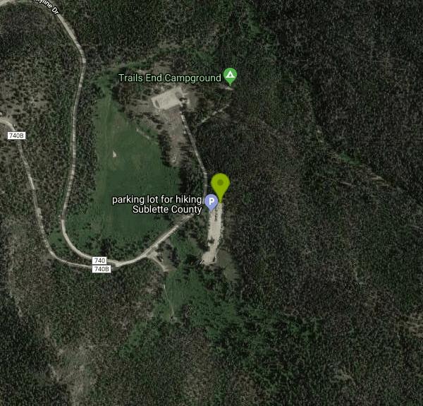
The commonly used entrance, particularly if this is the only peak on the agenda, is the trailhead at Elkhart Park. The paved Fremont Lake road goes east from the south edge of Pinedale heading 14 miles to a parking lot at the trailhead. A combination of the Pole Creek, Seneca Lake, Indian Basin and Titcomb trails lead 14 miles into a base in either Titcomb or Indian Basins. Most parties take two days for the approach if backpacking.Courtesy of summitpost.org
Elevation: 13,751 feet (4,191 m)
More Information
Fremont Peak : Climbing, Hiking & Mountaineering : SummitPost
Fremont Peak : SummitPost.org : Climbing, hiking, mountaineering
https://www.summitpost.org/fremont-peak/153347Be courteous, informed, and prepared. Read trailhead guidelines, stay on the trail, and don't feed the wildlife.
Read More
- Plan Ahead and Prepare
- Travel & camp on durable surfaces
- Dispose of waste properly
- Leave what you find
- Minimize campfire impacts
- Respect wildlife
- Be considerate of other visitors
Directions
From Pinedale, Wyoming
- Head west toward N Franklin Ave (112 ft)
- Turn left at the 1st cross street onto N Franklin Ave (0.1 mi)
- Turn left at the 2nd cross street onto W Pine StPass by Wells Fargo Bank (on the left)(0.4 mi)
- Turn left onto Fremont Lake Rd (3.0 mi)
- Continue onto Skyline DrDestination will be on the right(11.4 mi)


Other Hiking Trails and Backpacking Trails Nearby
Island Lake
Pinedale, Wyoming
0.0 miles NEIsland Lake is one of the crown jewels of the Wind River Range, a large, deep alpine lake set at about 10,400 feet on the edge of the Bridger Wilderness in west-central Wyoming. Ringed by pale...
Backpack, Hike, Horseback 21.2-25.2 mi
Gannett Peak
13.4 miles N
At 13,308 feet, Gannett Peak is Wyoming's highest summit and one of the hardest state highpoints in the lower 48 — three major routes, a legendary mosquito season, and glaciers worth timing carefully.
Backpack, Hike 
Popo Agie Water Slide (Trail Head)
Lander, Wyoming
49.2 miles SEThe Popo Agie waterslide is a small waterfall on some slick rocks above a swimming hole located near near Lander, Wyoming. The slide drops off about 10 feet in to the water.
Hike, Mountain Bike, Swim