Island Lake
Pinedale, Wyoming
| Address: | Forest Road 740, Pinedale, WY 82941, USA |
| GPS: |
43°0'15.0"N 109°45'6.0"W Maps | Directions |
| State: | Wyoming |
| Trail Length: | 12.00 miles |
| Trail Type: | Out & Back |
| Hike Difficulty: | Beginner |
| Trails/Routes: | 11.9 mi |
Lakes Waterfalls Streams Motorized Use
Backpack, Hike, and Horseback
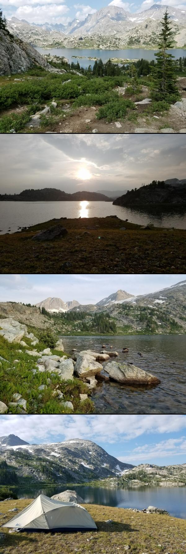
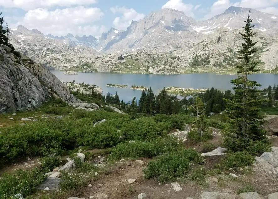
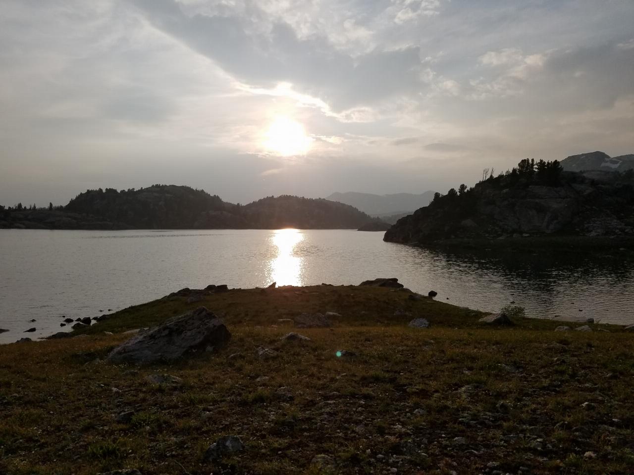
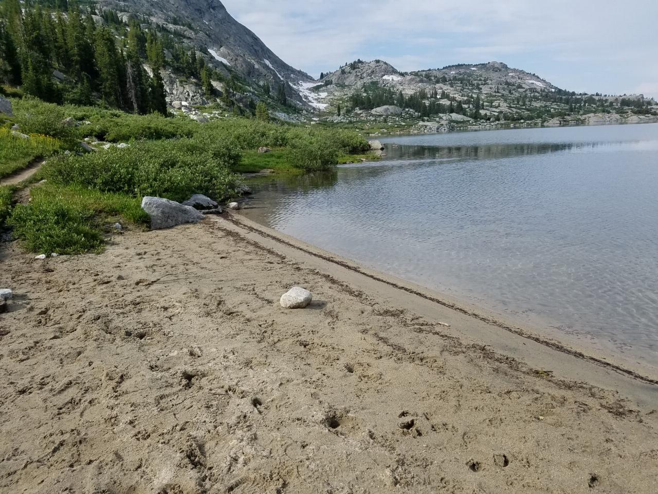
Island Lake is one of the crown jewels of the Wind River Range, a large, deep alpine lake set at about 10,400 feet on the edge of the Bridger Wilderness in west-central Wyoming. Ringed by pale granite and dotted with the small rocky islands that give it its name, it sits directly beneath the soaring wall of the Titcomb Basin peaks, with Fremont Peak, Mount Sacagawea and Jackson Peak rising to the north and east. For most backpackers it is both a destination in its own right and the classic launching point for the final push into Titcomb Basin and Indian Basin.
The standard approach begins at the Elkhart Park (Pole Creek) Trailhead about 15 miles northeast of Pinedale, at roughly 9,300 feet. From there it is around 12 miles to the lake, following the Pole Creek and Seneca Lake trails past a string of gorgeous lakes. The trail gains a bit over 2,600 feet and gives some of it back along the way, so despite the distance the grade is forgiving, and Island Lake itself sits only about 1,000 feet higher than the trailhead.
The lake's northeast peninsula holds some of the most sought-after backcountry campsites in the entire range. From camp the layered granite towers reflect in the water at dawn and dusk, and waterfalls tumble in from the cliffs on the east shore. Above the lake the trail climbs into Titcomb Basin, a glacier-carved corridor of turquoise tarns beneath 13,000-foot summits, while Indian Basin branches off toward Indian Pass and the Continental Divide, putting a lifetime of alpine wandering within a day of the lakeshore.
This is high, exposed country shared by both black and grizzly bears. The season is short, roughly July through September; afternoon thunderstorms are common, nights are cold even in midsummer, and snow can linger on the passes well into July. Overnight travel in the Bridger Wilderness does not require a permit, but group-size and campsite-setback rules apply and proper bear-resistant food storage is essential. For a first trip into the high Winds, few places pack as much scenery into a single basecamp as Island Lake.
More Information
Elkhart Park to Island Lake
Elkhart Park to Island Lake - This backpack follows the fastest route to Island Lake using a combination of the Pole Creek, Seneca, Highline and Indian Basin Trails. Along the way the trail visit Photographer’s Point and passes Eklund, Barbara, Hobbs, Seneca and Little Seneca Lakes
https://www.hikingwalking.com/destinations/wy/wy_ww/elkhart_park/bp_islandlake/elkhart_islandTitcomb Basin Backpacking Guide – Wind River Range, WY | CleverHiker
If you haven’t checked out the Wind River Range, backpacking in Titcomb Basin is a great place to start. We’ve got all the beta to get you on the trail.
https://www.cleverhiker.com/backpacking/titcomb-basin-backpacking-guide-wind-river-range-wy/Titcomb Basin, Wind River Range, Wyoming
Titcomb Basin - lakes and granite slopes beneath the west face of the Wind River Range, reached by a 14 mile hike from Elkhart Park, passing forests, meadows and several other lakes including Barbara, Hobbs, Seneca and Island
https://www.americansouthwest.net/wyoming/wind-river-range/titcomb-basin.htmlBe courteous, informed, and prepared. Read trailhead guidelines, stay on the trail, and don't feed the wildlife.
Read More
- Plan Ahead and Prepare
- Travel & camp on durable surfaces
- Dispose of waste properly
- Leave what you find
- Minimize campfire impacts
- Respect wildlife
- Be considerate of other visitors
Directions
From Pinedale, Wyoming
- Head west toward N Franklin Ave (112 ft)
- Turn left at the 1st cross street onto N Franklin Ave (0.1 mi)
- Turn left at the 2nd cross street onto W Pine StPass by Wells Fargo Bank (on the left)(0.4 mi)
- Turn left onto Fremont Lake Rd (3.0 mi)
- Continue onto Skyline DrDestination will be on the right(11.4 mi)


Other Hiking Trails, Horseback Trails, and Backpacking Trails Nearby
Fremont Peak
Pinedale, Wyoming
0.0 miles SWWyoming's third-highest peak straddles the Continental Divide in the remote Wind River Range — a 3-to-5-day summit trip on a peak first climbed by explorer John C. Fremont in 1842.
Backpack, Hike 21.2-25.2 mi
Gannett Peak
13.4 miles N
At 13,308 feet, Gannett Peak is Wyoming's highest summit and one of the hardest state highpoints in the lower 48 — three major routes, a legendary mosquito season, and glaciers worth timing carefully.
Backpack, Hike 
Popo Agie Water Slide (Trail Head)
Lander, Wyoming
49.2 miles SEThe Popo Agie waterslide is a small waterfall on some slick rocks above a swimming hole located near near Lander, Wyoming. The slide drops off about 10 feet in to the water.
Hike, Mountain Bike, Swim