


Popo Agie Water Slide (Trail Head)
Lander, Wyoming
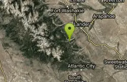
Hike, Mountain Bike, and Swim
The Popo Agie waterslide is a small waterfall on some slick rocks above a swimming hole located near near Lander, Wyoming. The slide drops off about 10 feet in to the water.
More Information
Lander Chamber of Commerce Home - Lander Chamber of Commerce
Explore all that Lander Chamber businesses have to offer.
https://landerchamber.org/Never modify trail features. Ride trails when they're dry enough that you won't leave ruts. Speak up when you see others on the trail and always yield to hikers, horses, and others coming uphill. Always ride on the established trail.
Read MoreBe courteous, informed, and prepared. Read trailhead guidelines, stay on the trail, and don't feed the wildlife.
Read More
- Plan Ahead and Prepare
- Travel & camp on durable surfaces
- Dispose of waste properly
- Leave what you find
- Minimize campfire impacts
- Respect wildlife
- Be considerate of other visitors
Directions
From Lander, Wyoming
- Head west on Main St toward N 3rd St (0.2 mi)
- Turn left onto S 5th St (0.7 mi)
- S 5th St turns right and becomes WY-131 S/Fremont StContinue to follow WY-131 S(9.7 mi)
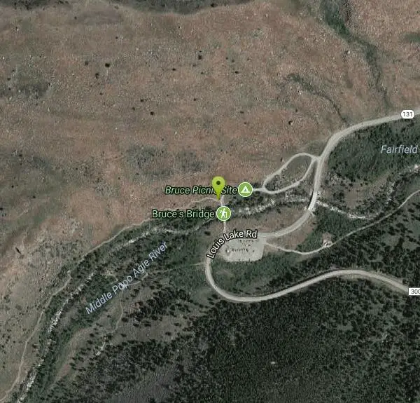
- Continue onto Louis Lake RdDestination will be on the right(381 ft)
From Lander, WY, head southwest on Sinks Canyon Rd. (Hwy 131) Right before the road hooks left to head up the mountains, park at the large gravel parking lot on the left side of the road. The trailhead is on the other side of the road across the bridge going over the river.
Other Mountain Bike Trails, Swimming Holes, and Hiking Trails Nearby

Sinks Canyon State Park
Lander, Wyoming
3.7 miles NEA state park in the Wind River Mountains where the Popo Agie River vanishes into a limestone cavern and resurfaces a quarter mile away — plus camping, hiking, and fishing.
Cave, Hike, Rock Climb, Whitewater 11.9 mi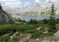
Island Lake
Pinedale, Wyoming
49.0 miles NWIsland Lake is one of the crown jewels of the Wind River Range, a large, deep alpine lake set at about 10,400 feet on the edge of the Bridger Wilderness in west-central Wyoming. Ringed by pale...
Backpack, Hike, Horseback 16.7 mi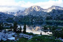
Fremont Peak
Pinedale, Wyoming
49.0 miles NWWyoming's third-highest peak straddles the Continental Divide in the remote Wind River Range — a 3-to-5-day summit trip on a peak first climbed by explorer John C. Fremont in 1842.
Backpack, Hike


