


Gore's Cave
Boise City-Nampa, ID, Idaho
| GPS: |
43°11'6.1"N 116°14'21.8"W Maps | Directions |
| State: | Idaho |
Cave
Gore's Cave is a remote desert lava tube hidden in the high-desert plains southeast of Boise, Idaho — a hollow volcanic tunnel left behind by molten lava that once flowed across the Snake River Plain. For Boise-area explorers willing to venture off the beaten path, it's a genuine slice of underground adventure: a cool, dark cave carved entirely by ancient volcanic activity, far from the crowds.
Like Idaho's other lava tubes, Gore's Cave formed when a river of molten rock crusted over on the surface while the lava beneath kept flowing and eventually drained away, leaving a tube-shaped cavern in its wake. The result is a rugged, rocky passage to pick your way through — the kind of place that rewards a sense of adventure and a good light.
Getting there is part of the challenge. The cave lies out in the open desert south of Boise, reached by heading south on Pleasant Valley Road and navigating the dirt tracks beyond — a high-clearance vehicle and a reliable map or GPS are strongly recommended, since there's little signage and the desert roads can be rough. Note that the area sits near the Orchard military training range, so watch for posted signs and stay well clear of any restricted or active zones.
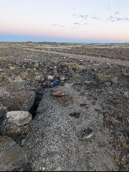
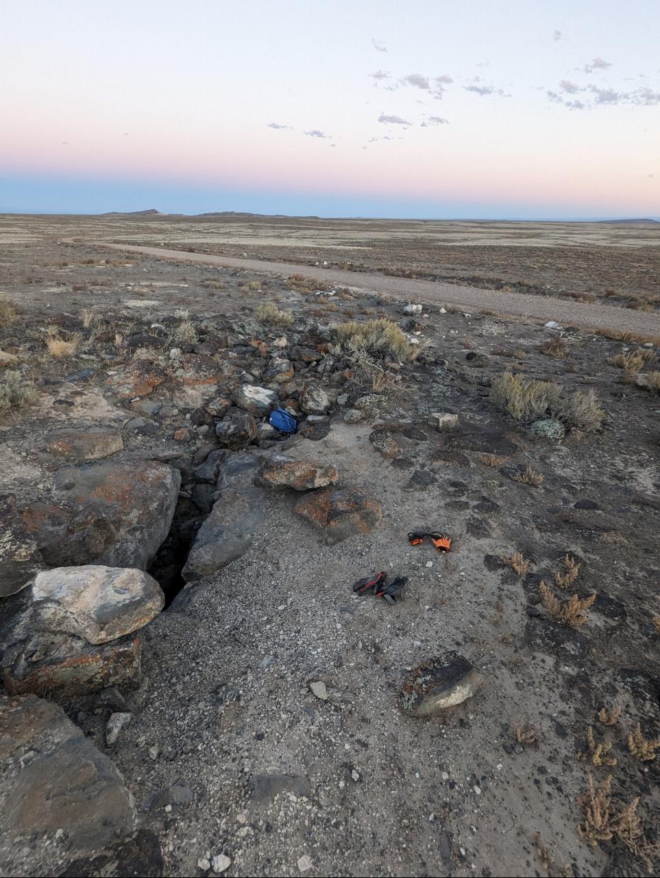
Inside, there's more to see than you might expect for a desert lava tube. Explorers describe “lava candles” and other drip formations along the walls and ceiling, along with sparkling crystal formations, and a few tight side rooms worth a crawl if you don't mind squeezing. A curious feature is the strong wind that whips out of the entrance — a sign the cave connects to other openings underground. Note that some visitors have found the main passage partly collapsed or filled in over the years, so conditions can change, and the entrance, while right along the road, can be genuinely hard to spot.
One serious warning: this is prime rattlesnake country. Multiple visitors report seeing lots of rattlesnakes here, especially in the warmer months, so watch carefully where you step and put your hands, both around the entrance and inside the cave.
Come prepared for true backcountry caving. Bring at least two light sources (a headlamp plus a backup), wear a helmet and sturdy closed-toe shoes, and pack a layer, since the cave stays cool even when the desert above is baking. There's no water, no shade, and no cell service out here, so carry plenty of water, tell someone your plans, and never explore a cave alone. Watch your footing on the loose, rocky floor.
For those who like their adventures a little off-grid, Gore's Cave delivers — a quiet, otherworldly lava tube in the wide-open Idaho desert, and a reminder of the volcanic forces that shaped this whole corner of the state. Pack your lights, bring a friend, and leave it just as wild as you found it.
More Information
Caves - Idaho | Bureau of Land Management
There are millions of geocaches worldwide, just waiting for you to find them. There are probably even some within walking distance of where you are right now. Visit Geocaching.com to see just how many geocaches are nearby and to learn how to start finding them.
https://www.blm.gov/programs/recreation/recreation-programs/caves/idaho
- Plan Ahead and Prepare
- Travel & camp on durable surfaces
- Dispose of waste properly
- Leave what you find
- Minimize campfire impacts
- Respect wildlife
- Be considerate of other visitors
Directions
From Boise City-Nampa, ID, Idaho
- Head south on Boise St toward W Camelot Dr (138 ft)
- Turn left onto W Camelot Dr (0.1 mi)
- Turn right onto N Midland Blvd (3.4 mi)
- Turn left onto Dooley Ln (1.0 mi)
- Turn right onto ID-45 S/12th Ave RdContinue to follow ID-45 S(5.5 mi)
- Turn left onto Bowmont Rd (4.0 mi)
- Turn right onto S Robinson Rd (2.6 mi)
- Turn left onto Kuna Cave Rd (4.0 mi)
- Turn right onto S Swan Falls Rd (13.8 mi)
- Turn left onto Moore Rd (2.3 mi)
- Turn right (2.1 mi)
- Slight left (2.8 mi)
- Turn right (0.3 mi)
- Turn left (0.3 mi)
- Continue straightDestination will be on the left(1.5 mi)
Head south from the Boise airport area on Pleasant valley rd into the desert. At about 18 miles south from Gowen rd you will have to go around Christmas Mountain which is a control tower for the military training range. When you are on the south side of this again head south another 6.1 miles and turn west. Follow this road about 2.25 miles to the coordinates.
potatokingftw
10/8/23 9:53 pmNathan ahmuty
3/10/21 11:44 pmgcwsisthephenom
6/18/21 8:20 amFound it
6/13/19 11:36 pm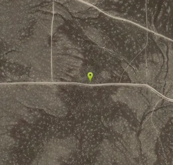
Other Caves Nearby

Kuna Caves
Kuna, Idaho
18.9 miles NWA 50-foot ladder descent into a quarter-mile lava tube that stays 56°F year-round — with half a mile of crawling and walking passages in both directions underground.
Cave
Smith's Crack
Mountain Home, Idaho
20.5 miles EA narrow fissure cave near Mountain Home with arrow-marked passages, a 20-foot vertical drop to the bottom, and rooms that take a couple of hours to fully explore.
Cave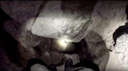
Devil's Hole Cave
Mountain Home, Idaho
20.6 miles EA challenging vertical shaft cave that descends 300 feet underground, wet and muddy year-round, reserved for experienced spelunkers with rope and climbing skills.
Cave
Eureka Cave
Mountain Home, Idaho
33.8 miles EAn accessible lava-tube cave near Mountain Home you can drop into and explore — bring a light and pack out what you pack in.
CaveNearby Campsites
Irish Boat Ramps
Boise, Idaho
30.5 miles NEA year-round scramble starting at a Boise-area reservoir and climbing steeply up an old Jeep road along a ridgeline — the first 1.5 miles are very steep, with bumps and pine trees along the way.
Camp
Bruneau Dunes
Bruneau, Idaho
32.5 miles SENorth America's tallest single-structure sand dune rises 470 feet above twin lakes, with stargazing at Idaho's only public observatory on select evenings nearby.
Camp, Canoe, Hike, Horseback
Badger Creek Campground
Boise City-Nampa, ID, Idaho
42.2 miles NEA small 5-site riverside campground at 3,200-foot elevation on the Middle Fork of the Boise River, with fishing for rainbow, cutthroat, and whitefish and access to the William Pogue National Recreational Trail nearby.
Camp
Loftus Hot Spring
Mountain Home, Idaho
48.9 miles NELoftus Hot Spring is a free Boise National Forest soak on the Middle Fork Boise River, with a hot waterfall between ~110F and ~104F pools.
Camp, Hot Springs


