


7 Hiking Trails near Bill Creek / Trail 800
first prev 1 next lastShowing Hiking Trails within 50 miles Distance miles of Bill Creek / Trail 800 near Whitefish, Montana City, Zip, or Address
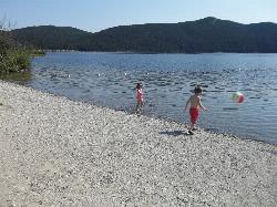
Tally Lake
Whitefish
7.9 miles NBuoyed gravel swim beach and big lawn at Tally Lake Campground on Montana's deepest natural lake, west of Whitefish in the Flathead National Forest. Day use is $6 per vehicle.
Camp, Canoe, Hike, Kayak, Swim
Logan State Park
Libby
27.2 miles SWA small grassy swim beach on the north shore of Middle Thompson Lake in Montana's Logan State Park, along US 2 between Libby and Kalispell. Free for Montana residents with the parks registration fee, $8 per vehicle for others.
Camp, Canoe, Hike, Kayak, Swim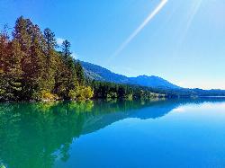
South Dickey Lake Picnic Area
Trego
28.8 miles NA free Forest Service beach on Dickey Lake near Trego, Montana, where a grassy lawn slopes into a deep, clear lake. Open 10 a.m. to 10 p.m. in season, no lifeguard.
Camp, Canoe, Hike, Kayak, Swim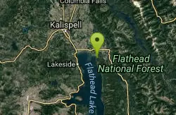
Harry Harm Park
Bigfork, Montana
31.6 miles SEHike near Bigfork, Montana
Hike
Jewel Basin
Kalispell, Montana
34.5 miles EThe Jewel Basin Hiking Area packs 35 miles of hiker-only trail, two dozen alpine lakes, and the Mount Aeneas lookout into the Swan Range near Kalispell.
Backpack, Camp, Hike 4.5 mi
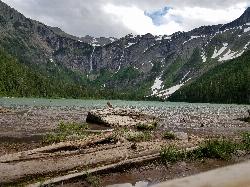
Avalanche Lake
Apgar Village, Glacier National Park
45.6 miles NEHike near Apgar Village, Glacier National Park
Hike 0.9 mi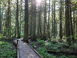
Trail of the Cedars
Apgar Village, Glacier National Park
45.7 miles NEAn easy wheelchair-accessible loop through towering 500-year-old cedars up to 100 feet tall in Glacier National Park, with gorge views of glacial Avalanche Creek and a footbridge over the water.
Hike


