


Tally Lake
Whitefish
Camp, Canoe, Hike, Kayak, and Swim
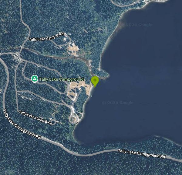
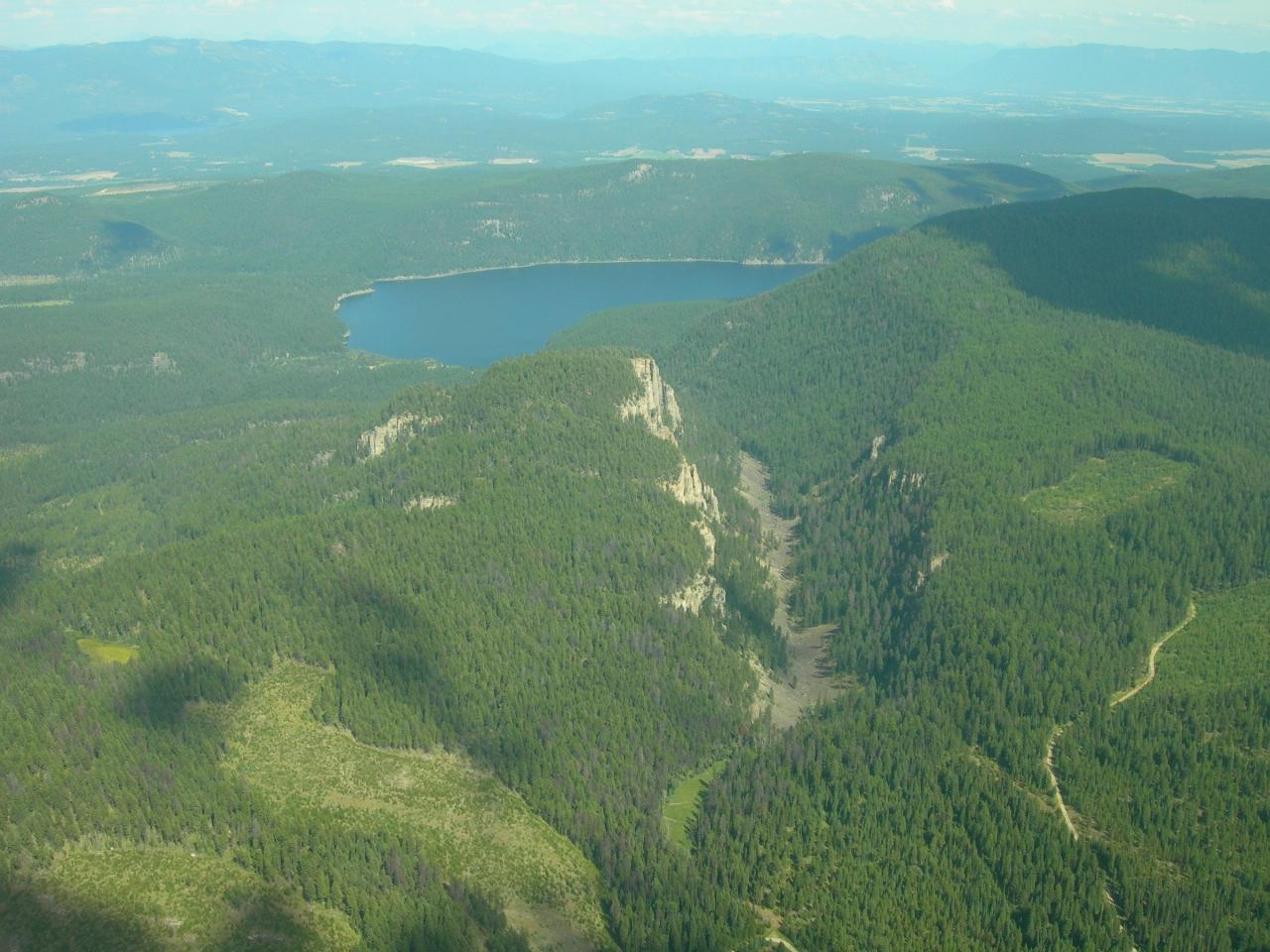
The swim beach at Tally Lake is the day-use area of Tally Lake Campground, a Flathead National Forest recreation site on the Tally Lake Ranger District. It sits at the northwest end of Tally Lake, a 1,211-acre natural lake in Flathead County that Montana Fish, Wildlife and Parks has surveyed at 495 feet deep, the deepest natural lake in the state. Forested ridges rise straight out of the water on most sides, and the campground occupies a flat of larch and Douglas fir where Logan Creek comes in.
The lake is about 17 road miles northwest of Whitefish. Recreation.gov and the concessionaire give this route: take US 93 north from Whitefish for 4 miles, turn left on Twin Bridges Road for 1.4 miles, stay right on Twin Bridges Road at the Tally Lake sign for another mile, turn left on Farm to Market Road for 2 miles, then turn right onto Tally Lake Road. The last 9 miles are gravel and dirt. Day-use parking is inside the campground near the boat ramp, with a short walk to the grass and the beach. The Forest Service says the road is not plowed in winter.
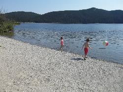
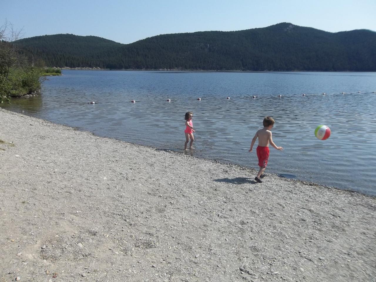
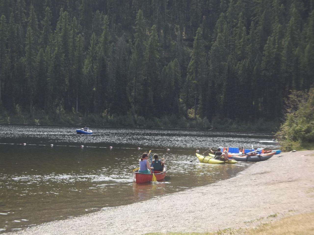
The swim area is a gravel and small-cobble beach in front of a large mowed lawn, with a buoy line marking off the swimming zone. Forest Service photos show kids wading close to shore inside the buoys, but this is a very deep lake overall, so keep weak swimmers near the beach. Because the lake is stained brown by tannins it absorbs sun and gets fairly warm by late summer, warmer than most deep lakes in the valley. There is no current. No lifeguard service is listed by the Forest Service or the concessionaire, so swimming is at your own risk. A changing area, vault toilets, potable water and picnic tables are close to the beach.
Day use is not free. The Flathead National Forest's April 2025 campground directory lists a $6 day-use fee per vehicle at Tally Lake, and a $50 annual season pass covers concession-run day-use sites across the forest (two passes for $80 if a second family vehicle is present). Interagency Senior and Access pass holders get 50 percent off day-use fees; the Interagency Annual pass does not apply. Flathead Valley Campgrounds, which runs the site for the Forest Service under permit, operates it from about mid-May to mid-September, weather permitting. Separate day-use hours are not published; campground quiet hours are 10 p.m. to 6 a.m.
Dogs are not allowed on the beach, though leashed pets are fine elsewhere in the campground. Motorboats and water skiers share the lake, so stay inside the buoys. The Wikipedia entry notes cliff jumping elsewhere on the lake; the cliffs are not part of the managed site and nobody checks the water depth below them. This is grizzly country, and a forest-wide food storage order requires attractants to be kept in a vehicle or bear-resistant container whenever they are not in use. Boats launched here must stop at Montana aquatic invasive species inspection stations on the way in.
Beyond swimming, the campground has 40 sites (some reservable through Recreation.gov), a group site, an open-air pavilion, a volleyball court and an accessible fishing dock. Kayaks and paddleboards rent for $10 an hour and canoes for $15 an hour at the campground. Anglers fish for kokanee, trout, whitefish, perch and northern pike. A trail off the north shore road climbs about a mile to a viewpoint over the lake.
More Information
Be courteous, informed, and prepared. Read trailhead guidelines, stay on the trail, and don't feed the wildlife.
Read More
- Plan Ahead and Prepare
- Travel & camp on durable surfaces
- Dispose of waste properly
- Leave what you find
- Minimize campfire impacts
- Respect wildlife
- Be considerate of other visitors
Directions
From Whitefish
- Head west on 2nd St/
E Second St toward Spokane Ave Continue to follow E Second St(0.3 mi) - Continue onto US-93 N/
2nd St Continue to follow US-93 N(4.4 mi) - Turn left onto Twin Bridges Rd (1.4 mi)
- Continue straight onto Lodgepole Rd (2.4 mi)
- Turn right onto Farm to Market Rd (1.2 mi)
- Turn left onto Tally Lake Campground Rd (8.9 mi)
- Turn right onto NF-2895/
Old Tally Lake Camp D Rd/ Tally Lake Campground Rd (367 ft) - Turn right onto Tally Lake Campground Rd (154 ft)
- Turn right to stay on Tally Lake Campground Rd (0.1 mi)
- Turn left to stay on Tally Lake Campground Rd (0.2 mi)
- Slight left to stay on Tally Lake Campground Rd (397 ft)
 Children playing on the gravel swim beach at Tally Lake, with the buoy line marking the swimming are courtesy of Forest Service Northern Region from Missoula, MT, USA↗ (Public domain↗)
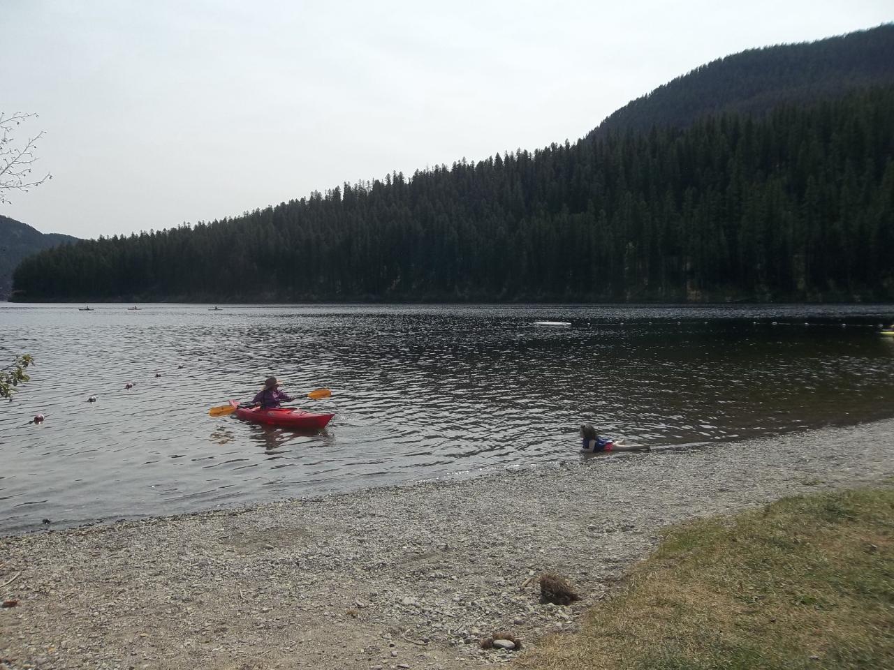
 A kayaker and a swimmer just off the day-use beach at Tally Lake Campground. courtesy of Forest Service Northern Region from Missoula, MT, USA↗ (Public domain↗)
 Canoes and rafts pulled up on the day-use beach, with the swim buoys strung across the water. courtesy of Forest Service Northern Region from Missoula, MT, USA↗ (Public domain↗)
 Aerial view of Tally Lake from the west, with Tally Gorge in the foreground (USFS, 2006). courtesy of Forest Service Northern Region from Missoula, MT, USA↗ (Public domain↗)
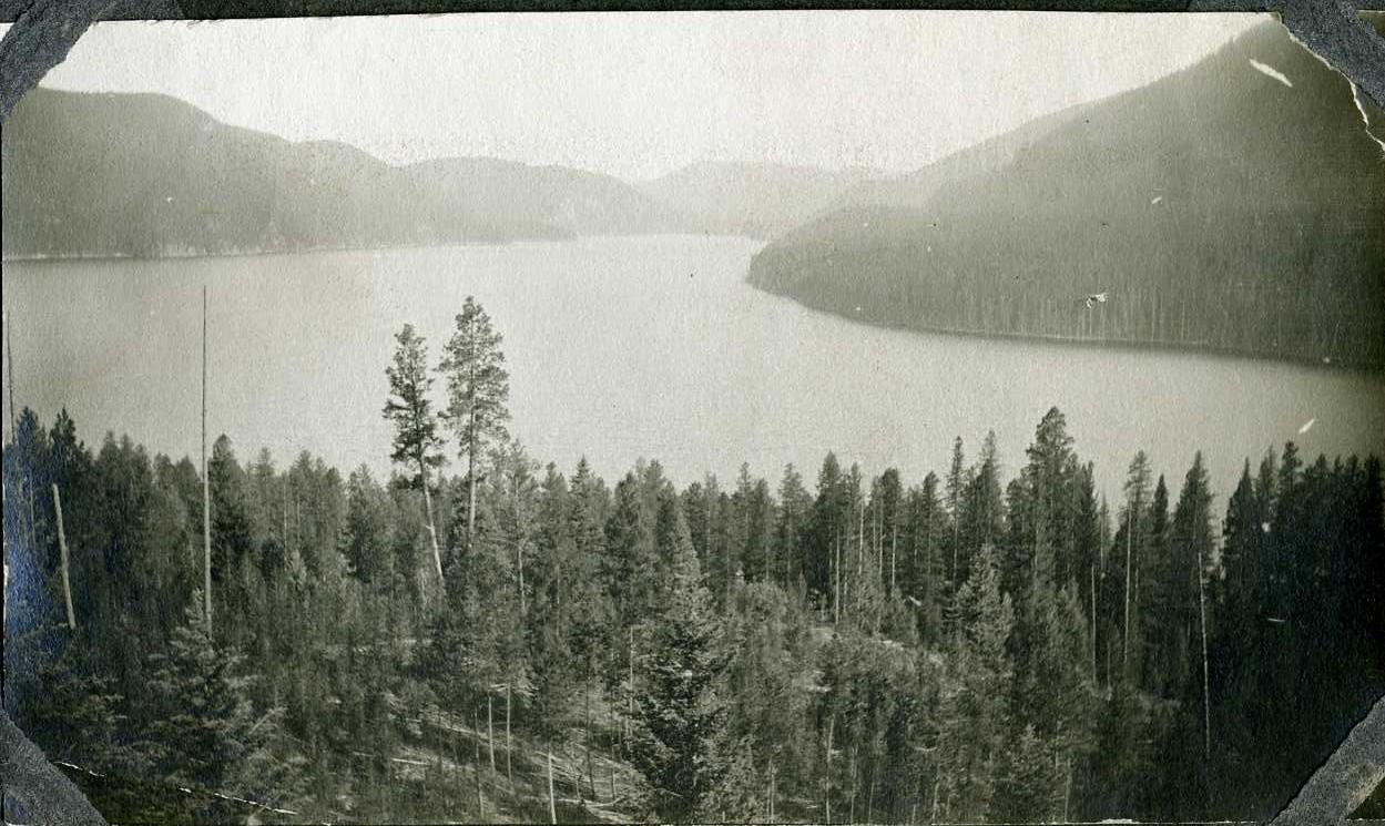
 Tally Lake as photographed by the Forest Service from a horse pasture in 1912.
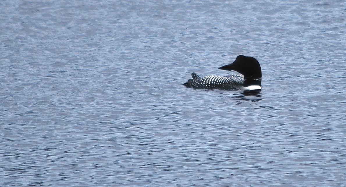
 A common loon on the north end of Tally Lake near the campground. courtesy of Forest Service Northern Region from Missoula, MT, USA↗ (Public domain↗)
Other Swimming Holes, Hiking Trails, Canoeing Areas, and Kayaking Areas Nearby
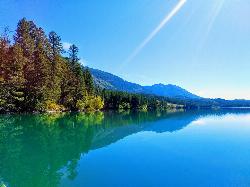
South Dickey Lake Picnic Area
Trego
22.9 miles NWA free Forest Service beach on Dickey Lake near Trego, Montana, where a grassy lawn slopes into a deep, clear lake. Open 10 a.m. to 10 p.m. in season, no lifeguard.
Camp, Canoe, Hike, Kayak, Swim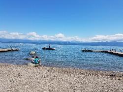
Volunteer Park
Lakeside, Montana
31.8 miles SEVolunteer Park is the beloved community swimming spot in Lakeside, Montana, tucked right into the heart of town on the northwest shore of Flathead Lake, about 12 miles south of Kalispell. It's a...
Dive, Swim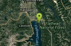
Harry Harm Park
Bigfork, Montana
34.1 miles SEHike near Bigfork, Montana
Hike
Logan State Park
Libby
34.6 miles SWA small grassy swim beach on the north shore of Middle Thompson Lake in Montana's Logan State Park, along US 2 between Libby and Kalispell. Free for Montana residents with the parks registration fee, $8 per vehicle for others.
Camp, Canoe, Hike, Kayak, Swim
Jewel Basin
Kalispell, Montana
34.6 miles SEThe Jewel Basin Hiking Area packs 35 miles of hiker-only trail, two dozen alpine lakes, and the Mount Aeneas lookout into the Swan Range near Kalispell.
Backpack, Camp, Hike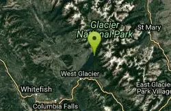
Glacier National Park
West Glacier, Montana
35.4 miles NESwim near West Glacier, Montana
Swim 4.5 mi
Avalanche Lake
Apgar Village, Glacier National Park
39.3 miles NEHike near Apgar Village, Glacier National Park
Hike 0.9 mi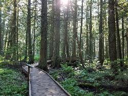
Trail of the Cedars
Apgar Village, Glacier National Park
39.4 miles NEAn easy wheelchair-accessible loop through towering 500-year-old cedars up to 100 feet tall in Glacier National Park, with gorge views of glacial Avalanche Creek and a footbridge over the water.
Hike 5.0 mi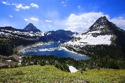
Hidden Lake
Glacier National Park
43.9 miles NEA 6.6-mile round-trip hike from Logan Pass through alpine meadows, dense forest, and rocky terrain to the crystal-clear waters of Hidden Lake, with bighorn sheep and mountain goats along the way.
Hike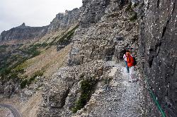
Highline Trail
Logan Pass, Glacier National Park
44.0 miles NEOne of Glacier National Park's most celebrated hikes — the Highline Trail spans alpine meadows, the Continental Divide, and the Garden Wall with mountain goats, wildflowers, and views to rival anything in the park.
Backpack, Hike
Clements Mountain Trail
Logan Pass, Glacier National Park
44.0 miles NEA four-mile round-trip climb of Clements Mountain in Glacier National Park, with several routes of varying difficulty and significant elevation gain — often confused with nearby Reynolds Mountain.
Backpack, Camp, Hike, Rock Climb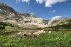
Siyeh Pass Trail
Logan Pass, Glacier National Park
46.2 miles NEA top-of-the-world point-to-point hike through Glacier's Preston Park meadows to a high pass with glacier views, mountain goats, and bighorn sheep.
Backpack, Hike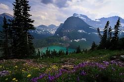
Grinnell Lake
Many Glacier, Glacier National Park
46.9 miles NEA 7.5-mile round-trip hike along glacier-fed subalpine lakes to a turquoise glacial lake in Glacier National Park — with a waterfall along the way and an optional ferry across Lake Josephine.
Hike, Swim 1.4-4.6 mi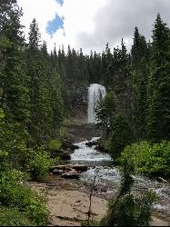
St Mary and Virginia Falls
Rising Sun, Glacier National Park
47.9 miles EA scenic 3.7-mile roundtrip hike past St. Mary Falls' 50-foot two-tiered drop to the upper and lower tiers of Virginia Falls, best in early season when snowmelt is rushing.
Hike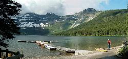
Cameron Lake
Waterton, Glacier National Park
48.0 miles NEA picturesque Canadian glacial lake in Waterton Lakes National Park surrounded by mountain scenery, avalanche-sculpted shores, kayaking, fishing, and Herbst Glacier views.
Backpack, Camp, Hike 0.6 mi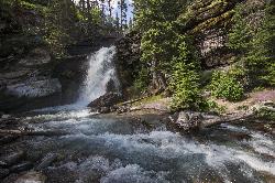
Baring Falls
Glacier National Park
48.6 miles EA moderate trail hike in Glacier National Park to 30-foot Baring Falls dropping into crystal-clear water — with scenic mountain overlooks, wildlife, and an optional gorge viewpoint 1.5 miles beyond.
Hike 10.5 mi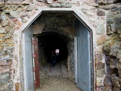
Ptarmigan Tunnel
Many Glacier, Glacier National Park
49.0 miles NEA long hike to a hand-carved 240-foot tunnel through the Ptarmigan Wall at Glacier National Park, opening to views of Seaward Mountain and Elizabeth Lake — open mid-July through early October.
Backpack, Hike 9.7 mi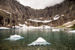
Iceberg Lake
Many Glacier, Glacier National Park
49.0 miles NENine miles of alpine trail deliver sweeping views of Ptarmigan Wall, Mount Grinnell, and Mount Wilbur before arriving at an iceberg-dotted cirque lake in Glacier NP.
Backpack, Camp, Hike 11.8 mi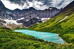
Cracker Lake Trail
Many Glacier, Glacier National Park
49.7 miles NEA 12.5-mile hike through forests and meadows to a surreal turquoise lake in the Many Glacier area — plan for two days to fully enjoy this bear-country gem.
Backpack, Camp, HikeNearby Campsites
South Dickey Lake Picnic Area
Trego
22.9 miles NWA free Forest Service beach on Dickey Lake near Trego, Montana, where a grassy lawn slopes into a deep, clear lake. Open 10 a.m. to 10 p.m. in season, no lifeguard.
Camp, Canoe, Hike, Kayak, Swim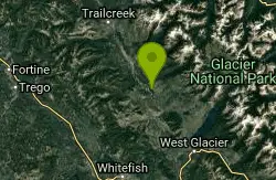
Logging Creek Campground
Glacier National Park
26.5 miles NEA first-come, first-served campground nestled in the Many Glacier area of Glacier National Park, with 49 sites and close access to the Grinnell Glacier and Swiftcurrent trails.
Camp
Quartz Creek Campground
Glacier National Park
26.9 miles NEA peaceful 22-site campground in the heart of Glacier National Park, close to Going-to-the-Sun Road and a short hike from iconic Grinnell Glacier.
Camp
Apgar Campground
Apgar Village, Glacier National Park
28.4 miles ECampsites on the shores of Lake McDonald within Glacier National Park, with easy access to the Apgar Visitor Center, nature center, nearby hiking, and the western entrance to Going-to-the-Sun Road.
Camp
Fish Creek Campground
Glacier National Park
28.8 miles EA 193-site Glacier National Park campground along Fish Creek, surrounded by pine and cedar forest, with mountain views, fire rings, and access to the Trail of the Cedars nearby.
Camp
Bowman Lake Campground
Glacier National Park
33.5 miles NEA stunning lakeside campground in the heart of Glacier National Park with 50+ campsites, bear-proof lockers, nearby hiking trails, and access to swimming, fishing, and paddling on Bowman Lake.
Camp
Sprague Campground
Glacier National Park
34.5 miles NEAn 85-site campground on the west side of Glacier National Park near Lake McDonald, with swimming, boating, fishing, wildlife viewing, and the Trail of the Cedars nearby.
Camp
Logan State Park
Libby
34.6 miles SWA small grassy swim beach on the north shore of Middle Thompson Lake in Montana's Logan State Park, along US 2 between Libby and Kalispell. Free for Montana residents with the parks registration fee, $8 per vehicle for others.
Camp, Canoe, Hike, Kayak, Swim
Jewel Basin
Kalispell, Montana
34.6 miles SEThe Jewel Basin Hiking Area packs 35 miles of hiker-only trail, two dozen alpine lakes, and the Mount Aeneas lookout into the Swan Range near Kalispell.
Backpack, Camp, Hike
Avalanche Campground
Glacier National Park
39.3 miles NENestled on Glacier National Park's west side, Avalanche Campground puts 128 sites, flush toilets, and bear-proof storage right next to the Trail of the Cedars and the stunning Avalanche Lake hike.
Camp
Kintla Campground
Glacier National Park
43.7 miles NEA 26-site campground on the shores of Kintla Lake inside Glacier National Park — fire pits, bear boxes, vault toilets, and the Kintla Lake Trail at your doorstep.
Camp
Clements Mountain Trail
Logan Pass, Glacier National Park
44.0 miles NEA four-mile round-trip climb of Clements Mountain in Glacier National Park, with several routes of varying difficulty and significant elevation gain — often confused with nearby Reynolds Mountain.
Backpack, Camp, Hike, Rock Climb
Cameron Lake
Waterton, Glacier National Park
48.0 miles NEA picturesque Canadian glacial lake in Waterton Lakes National Park surrounded by mountain scenery, avalanche-sculpted shores, kayaking, fishing, and Herbst Glacier views.
Backpack, Camp, Hike
Many Glacier Campground
Many Glacier, Glacier National Park
48.9 miles NEMany Glacier Campground sits in what many visitors consider the most spectacular corner of Glacier National Park: the Many Glacier valley on the park's northeast side, cradled among towering peaks...
Camp 9.7 mi
Iceberg Lake
Many Glacier, Glacier National Park
49.0 miles NENine miles of alpine trail deliver sweeping views of Ptarmigan Wall, Mount Grinnell, and Mount Wilbur before arriving at an iceberg-dotted cirque lake in Glacier NP.
Backpack, Camp, Hike 11.8 mi
Cracker Lake Trail
Many Glacier, Glacier National Park
49.7 miles NEA 12.5-mile hike through forests and meadows to a surreal turquoise lake in the Many Glacier area — plan for two days to fully enjoy this bear-country gem.
Backpack, Camp, Hike


