


South Dickey Lake Picnic Area
Trego
Camp, Canoe, Hike, Kayak, and Swim
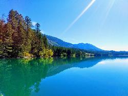
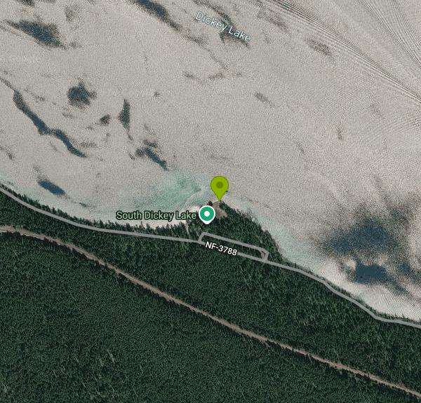
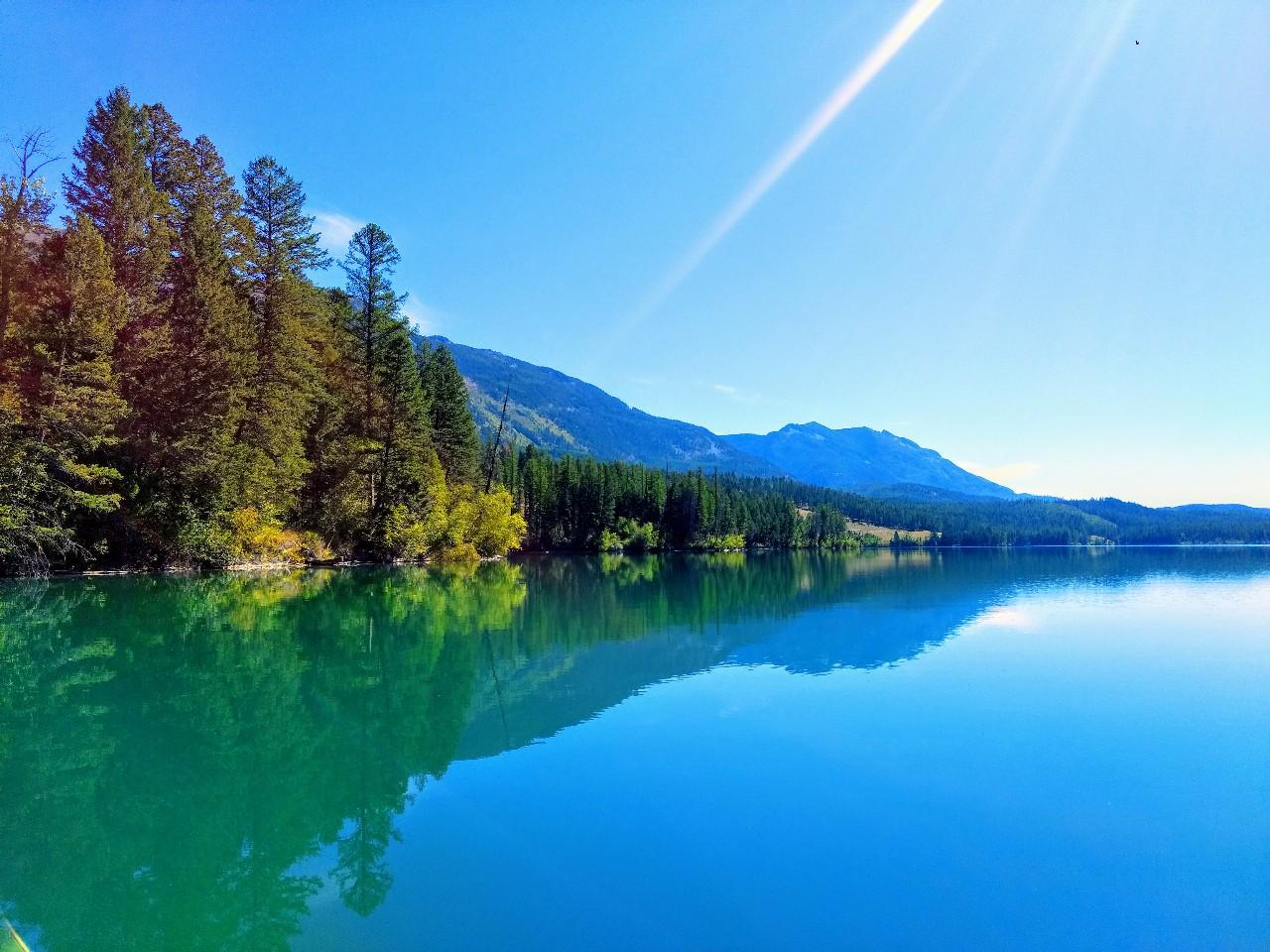
Dickey Lake is a glacial lake of roughly 585 acres in the Kootenai National Forest, a few miles east of Trego in Lincoln County, Montana. The public swimming spot is the South Dickey Lake day use area, which the Forest Service lists as the South Dickey Lake Group Picnic Area and runs out of the Rexford/Fortine Ranger District office in Eureka. It sits on the lake's south shore at about 3,100 feet, where a grassy lawn shaded by larch and fir slopes down to the water.
From Eureka, drive south on US Highway 93 for about 20 miles, then turn east onto Lake Shore Road (Forest Road 3788) and follow it about 2 miles to the day use site. An unpaved spur leaves the road and ends at the picnic area, where you park a short walk from the beach. Trego is about 3 miles to the west, and the Forest Service's own directions are written from Eureka, so set your navigation to the day use area itself rather than the town.
The swimming beach is a strip of lawn running straight into the lake, with a boat ramp nearby. The Forest Service doesn't publish a roped swim area, bottom type or depth chart for the beach, and no lifeguard is listed, so plan to look after yourself and your kids. Dickey Lake is deep for its size (GNIS-based figures put the bottom at about 74 feet), and at this elevation in northwest Montana the water stays cold well into early summer. Late July and August are the most comfortable months for a long swim.
The beach is free and open to the public. The Forest Service and Recreation.gov both say the swimming beach is open to everyone, even though one picnic site is reservable. That reservable group site costs $50 a day for 1 to 75 people and $150 a day for larger groups, booked through Recreation.gov, and four more picnic sites are first come, first served. The area is day use only, open 10 a.m. to 10 p.m., and overnight camping isn't allowed. The posted season starts at Memorial Day and typically runs through September. The site description mentions accessible vault toilets and drinking water, but the amenity list on the same Forest Service page says neither is available, so bring your own water.
Motorboats, water skiers and anglers share the lake, and the ramp sits close to the swimming lawn, so stay near shore and watch for boats backing trailers in. Loons are often heard from the beach in spring and early summer. This is bear country, so keep food in your vehicle when you're not eating. When we checked in October 2026, the Kootenai National Forest alerts page had nothing posted for Dickey Lake, but the season had ended and services may be off until spring.
North Dickey Lake Campground sits across the lake on the northwest shore with single sites at $16 a night, reservable on Recreation.gov, plus nearby hiking and mountain biking trails. Anglers fish the lake for kokanee salmon, Kamloops and rainbow trout. The Canadian border is about 20 miles north and the entrance to Glacier National Park is about 65 miles away.
More Information
Be courteous, informed, and prepared. Read trailhead guidelines, stay on the trail, and don't feed the wildlife.
Read More
- Plan Ahead and Prepare
- Travel & camp on durable surfaces
- Dispose of waste properly
- Leave what you find
- Minimize campfire impacts
- Respect wildlife
- Be considerate of other visitors
Directions
From Trego
- Head south (85 ft)
- Turn left toward Liesch Rd (82 ft)
- Turn right onto Liesch Rd (0.4 mi)
- Turn right to stay on Liesch Rd (371 ft)
- Continue onto County Hwy E/
Washburn County Hwy E (2.8 mi) - Turn right onto Washburn County Hwy K (10.8 mi)
- Turn left onto WI-77 W (21.1 mi)
- Turn left onto WI-35 S/
WI-77 W (2.2 mi) - Turn right onto WI-77 WEntering Minnesota(4.0 mi)
- Continue onto MN-48 WPass by Taco Bell (on the right in 23.3 mi)(23.5 mi)
- Turn left to merge onto I-35 S toward St Paul/
Minneapolls (2.5 mi) - Take exit 180 for MN-23 W/
Pine Cnty 61 toward Mora (0.2 mi) - Turn right onto MN-23 W (17.5 mi)
- Turn left onto MN-23 W/
MN-65 S (1.7 mi) - Turn right onto MN-23 W (32.6 mi)
- At the traffic circle, continue straight onto MN-23/
MN-23 Trunk Continue to follow MN-23(17.4 mi) - Continue straight onto W Division StPass by Chick-fil-A (on the right in 0.4 mi)(2.4 mi)
- Continue onto Co Rd 75Pass by Subway (on the right in 3.4 mi)(5.8 mi)
- Merge onto I-94 WParts of this road may be closed at certain times or daysPassing through North DakotaEntering Montana(548 mi)
- Take exit 211 for MT-200S toward Circle (0.3 mi)
- Turn right onto MT-200S W (44.2 mi)
- Continue onto MT-200 W (1.1 mi)
- Turn right onto MT-13 N (46.8 mi)
- Continue straight onto MT-25 W (5.2 mi)
- Turn right onto E Front St (0.3 mi)
- Turn right onto 3rd Ave S (0.1 mi)
- Continue onto 4th Ave N (354 ft)
- Turn left onto US-2 W/
Sunset Dr/ U.S. Hwy 2 E Continue to follow US-2 W/(309 mi)U.S. Hwy 2 E - Turn right onto US-2 W/
5th Ave N Continue to follow US-2 WPass by Subway (on the left)(58.5 mi) - Continue onto US-89 N (410 ft)
- At the traffic circle, take the 3rd exit onto US-2 W (86.0 mi)
- Continue straight onto MT-40 W (4.5 mi)
- Turn right onto US-93 NPass by NAPA Auto Parts - Whitefish Auto parts (on the left in 1.2 mi)(2.2 mi)
- Turn left onto E Second St (0.3 mi)
- Continue onto US-93 N/
2nd St Continue to follow US-93 N(31.6 mi) - Turn left onto NF-3788 (1.9 mi)
- Turn rightDestination will be on the right(0.1 mi)


Other Swimming Holes, Hiking Trails, Canoeing Areas, and Kayaking Areas Nearby
Tally Lake
Whitefish
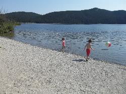
22.9 miles SEBuoyed gravel swim beach and big lawn at Tally Lake Campground on Montana's deepest natural lake, west of Whitefish in the Flathead National Forest. Day use is $6 per vehicle.
Camp, Canoe, Hike, Kayak, Swim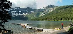
Cameron Lake
Waterton, Glacier National Park
40.5 miles NEA picturesque Canadian glacial lake in Waterton Lakes National Park surrounded by mountain scenery, avalanche-sculpted shores, kayaking, fishing, and Herbst Glacier views.
Backpack, Camp, Hike
Glacier National Park
West Glacier, Montana
43.4 miles ESwim near West Glacier, Montana
Swim 0.9 mi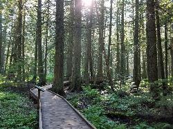
Trail of the Cedars
Apgar Village, Glacier National Park
45.4 miles EAn easy wheelchair-accessible loop through towering 500-year-old cedars up to 100 feet tall in Glacier National Park, with gorge views of glacial Avalanche Creek and a footbridge over the water.
Hike 4.5 mi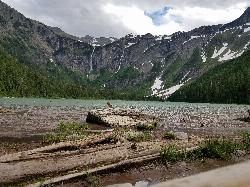
Avalanche Lake
Apgar Village, Glacier National Park
45.4 miles EHike near Apgar Village, Glacier National Park
Hike
Logan State Park
Libby
48.2 miles SA small grassy swim beach on the north shore of Middle Thompson Lake in Montana's Logan State Park, along US 2 between Libby and Kalispell. Free for Montana residents with the parks registration fee, $8 per vehicle for others.
Camp, Canoe, Hike, Kayak, Swim
Yaak Falls Campground
Troy, Montana
49.4 miles WSwim near Troy, Montana
Swim 5.0 mi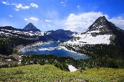
Hidden Lake
Glacier National Park
49.9 miles EA 6.6-mile round-trip hike from Logan Pass through alpine meadows, dense forest, and rocky terrain to the crystal-clear waters of Hidden Lake, with bighorn sheep and mountain goats along the way.
Hike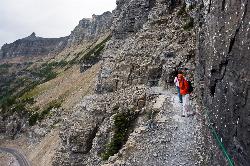
Highline Trail
Logan Pass, Glacier National Park
50.0 miles EOne of Glacier National Park's most celebrated hikes — the Highline Trail spans alpine meadows, the Continental Divide, and the Garden Wall with mountain goats, wildflowers, and views to rival anything in the park.
Backpack, HikeNearby Campsites
Tally Lake
Whitefish
22.9 miles SEBuoyed gravel swim beach and big lawn at Tally Lake Campground on Montana's deepest natural lake, west of Whitefish in the Flathead National Forest. Day use is $6 per vehicle.
Camp, Canoe, Hike, Kayak, Swim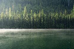
Quartz Creek Campground
Glacier National Park
26.9 miles EA peaceful 22-site campground in the heart of Glacier National Park, close to Going-to-the-Sun Road and a short hike from iconic Grinnell Glacier.
Camp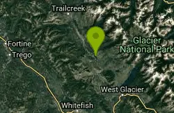
Logging Creek Campground
Glacier National Park
28.3 miles EA first-come, first-served campground nestled in the Many Glacier area of Glacier National Park, with 49 sites and close access to the Grinnell Glacier and Swiftcurrent trails.
Camp
Bowman Lake Campground
Glacier National Park
29.0 miles EA stunning lakeside campground in the heart of Glacier National Park with 50+ campsites, bear-proof lockers, nearby hiking trails, and access to swimming, fishing, and paddling on Bowman Lake.
Camp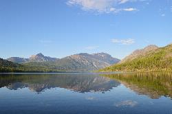
Kintla Campground
Glacier National Park
35.3 miles NEA 26-site campground on the shores of Kintla Lake inside Glacier National Park — fire pits, bear boxes, vault toilets, and the Kintla Lake Trail at your doorstep.
Camp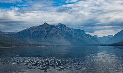
Fish Creek Campground
Glacier National Park
39.4 miles EA 193-site Glacier National Park campground along Fish Creek, surrounded by pine and cedar forest, with mountain views, fire rings, and access to the Trail of the Cedars nearby.
Camp
Apgar Campground
Apgar Village, Glacier National Park
40.0 miles ECampsites on the shores of Lake McDonald within Glacier National Park, with easy access to the Apgar Visitor Center, nature center, nearby hiking, and the western entrance to Going-to-the-Sun Road.
Camp
Cameron Lake
Waterton, Glacier National Park
40.5 miles NEA picturesque Canadian glacial lake in Waterton Lakes National Park surrounded by mountain scenery, avalanche-sculpted shores, kayaking, fishing, and Herbst Glacier views.
Backpack, Camp, Hike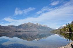
Sprague Campground
Glacier National Park
43.0 miles EAn 85-site campground on the west side of Glacier National Park near Lake McDonald, with swimming, boating, fishing, wildlife viewing, and the Trail of the Cedars nearby.
Camp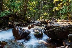
Avalanche Campground
Glacier National Park
45.4 miles ENestled on Glacier National Park's west side, Avalanche Campground puts 128 sites, flush toilets, and bear-proof storage right next to the Trail of the Cedars and the stunning Avalanche Lake hike.
Camp
Logan State Park
Libby
48.2 miles SA small grassy swim beach on the north shore of Middle Thompson Lake in Montana's Logan State Park, along US 2 between Libby and Kalispell. Free for Montana residents with the parks registration fee, $8 per vehicle for others.
Camp, Canoe, Hike, Kayak, Swim


