


136 Hiking Trails near Hidden Valley from Buena Vista Trail
first prev 1 2 3 4 5 6 7 next lastShowing Hiking Trails within 50 miles Distance miles of N Buena Vista Rd, Phoenix, AZ 85042, USA City, Zip, or Address

Quail Trail
Goodyear, Arizona
19.6 miles WQuail Trail is the access trail from the Nature Center to the main trail system. It is a pretty steep climb, but smooth and steady. Quail Trail is a spur trail in the Estrella Mountain...
Hike, Horseback, Mountain Bike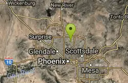
Lookout Mountain Circumference Trail
Phoenix, Arizona
19.6 miles NHike near Phoenix, Arizona
Hike
Lookout Mountain Summit Trail
Phoenix, Arizona
19.6 miles NLookout Mountain Summit Trail is a short, 1 mile trail in Phoenix, Arizona. The trail is steep, especially towards the summit, but it's manageable, and well worth the...
Hike
Glendale Canal
Glendale, Arizona
20.7 miles NWHike, Horseback, and Mountain Bike near Glendale, Arizona
Hike, Horseback, Mountain Bike

Desert Trails Bike Park
Mesa, Arizona
21.6 miles NEHike and Mountain Bike near Mesa, Arizona
Hike, Mountain Bike
Scarlett Canyon
Phoenix, Arizona
23.1 miles NScarlett Canyon trail (not officially named) is an unmarked trail adjacent to the Scarlett Canyon residential neighborhood. This is a 3 mile loop trail considered to be easy to...
Hike, Horseback, Mountain Bike, Rock Climb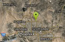
Reach 11 Trail
Phoenix, Arizona
23.4 miles NHike near Phoenix, Arizona
Hike 7.5 mi
Hawe's Loop
Mesa, Arizona
23.6 miles NEMost of the trails in the Phoenix metropolitan area were originally built by mountain bikers, and the Hawe's loop trail system and trail are no exeptions. This trail features fantastic...
Hike, Mountain Bike 1.5 mi
The Saddle
Mesa, Arizona
23.6 miles NESaddle trail is an intermediate mountain biking trail that connects to the greater Hawes trail network. The trail is 1.5-2mi long and it offers beautiful views of the neighboring Salt River and Red...
Hike, Mountain Bike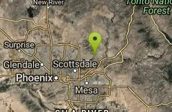
Sunrise Peak via Sunrise Trail
Scottsdale, Arizona
23.6 miles NEHike near Scottsdale, Arizona
Hike
Tom's Thumb Trail South
Scottsdale, Arizona
23.7 miles NEHike near Scottsdale, Arizona
Hike
Saguaro Loop and Nature Trail
Scottsdale, Arizona
23.7 miles NEHike near Scottsdale, Arizona
Hike
Tom's Thumb to Bell Pass
Scottsdale, Arizona
23.7 miles NEHike and Mountain Bike near Scottsdale, Arizona
Hike, Mountain Bike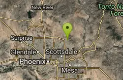
Horseshoe Loop Hike
Scottsdale, Arizona
23.7 miles NEHike near Scottsdale, Arizona
Hike
Gateway and Tom's Thumb Loop Trail
Scottsdale, Arizona
23.7 miles NEStarting at the 104th St trailhead, head toward the Gateway loop trail. Turn right at the Gateway loop. Next take the Bell pass trail and be prepared for a steep climb. Once you hit...
Hike, Horseback, Mountain Bike
Gatewa-Prospector-Thompson Peak Road Trail
Scottsdale, Arizona
23.7 miles NEHike near Scottsdale, Arizona
Hike
Inspiration Point
Scottsdale, Arizona
23.7 miles NEInspiration Point is a 5.7, moderate hike located on the McDowell Sonoran Preserve near Scottsdale, Arizona. You'll begin your hike at the Gateway area, where you can find a parking lot...
Hike, Mountain Bike 0.6 mi
Horseshoe Trail
Scottsdale, Arizona
24.0 miles NEHorseshoe trail is a short, fun singletrack with a lot of quick turns created by wash areas and rocks. It's a nice warm-up heading to Gateway Loop Trail. In some areas there are a lot of cactus,...
Hike, Horseback, Mountain Bike
H-1 to H-4 Trails Loop
Glendale, Arizona
25.4 miles NThunderbird Park in Glendale, AZ consists of 5 H-Trails, named so because of the Hedgpeth Hills through which they wind. H-1: One-Way - 5.0 miles H-1a: Loop trail - 2.5 miles - 400...
Hike, Mountain Bike
Thunderbird H-1 H-2 H-3 Loop Trail
Glendale, Arizona
25.7 miles NHike and Mountain Bike near Glendale, Arizona
Hike, Mountain Bike


