


8 Hiking Trails near Thousand Pines Camp Disc Golf Course
first prev 1 next lastShowing Hiking Trails within 50 miles Distance miles of Thousand Pines Camp Disc Golf Course near Crestline, California City, Zip, or Address
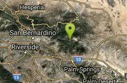
Vivian Creek Trail
Forest Falls, California
24.9 miles SEThe shortest but steepest route to the Mt. San Gorgonio summit, gaining serious elevation in 1.2 miles to Vivian Creek Camp at 7,100 feet — a Forest Adventure Pass required.
Camp, Hike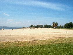
Lake Perris State Recreation Area
Moreno Valley
27.2 miles STwo buoyed, lifeguarded swim beaches on the Lake Perris shore, at the southern end of the State Water Project between Moreno Valley and Perris. Day use is $10 per car, $20 on summer weekends.
Camp, Hike, Kayak, Swim
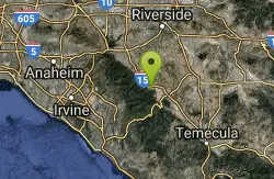
Horse Thief Canyon
Corona, California
37.7 miles SA hidden off-road playground tucked along the roadside with rocks, trees, and sandpits — a local secret for outdoor fun in the Lake Elsinore/Corona area.
Airsoft, Hike
Bandido Group Campground
Pearblossom, California
41.9 miles WA rustic group campground in the Angeles National Forest designed for equestrian campers, with horse corrals, hitch racks, and five sites accommodating up to 150 campers total.
Camp, Hike, Horseback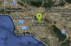
laguna lake park trail
Fullerton, California
44.6 miles SWA level loop trail around a 25-acre natural lake and open hillsides with views of the surrounding Morros in this 450-acre Fullerton park with deep Chumash history.
Hike
Arroyo Pescadero Park
Whittier, California
45.8 miles SWAn ADA-accessible interpretive trail and wildlife corridor connecting the Whittier Narrows to Cleveland National Forest through the Puente Hills — featuring decorative artist-designed gates and naturalist-focused signage.
Hike
Sam Merrill Trailhead
Altadena, California
48.7 miles WA historically significant San Gabriel Mountain trail built in the 1930s climbs through Las Flores Canyon to the top of Echo Mountain, once home to the Mount Lowe Railway.
Hike
Switzer Falls
Los Angeles-Long Beach-Santa Ana, CA, California
49.9 miles WA relatively easy hike into a spectacular San Gabriel canyon where the stream meanders under oaks and alder, cascades over granite into mirror pools, and passes above the 50-foot Switzer Falls.
Hike


