


Lake Perris State Recreation Area
Moreno Valley
Camp, Hike, Kayak, and Swim
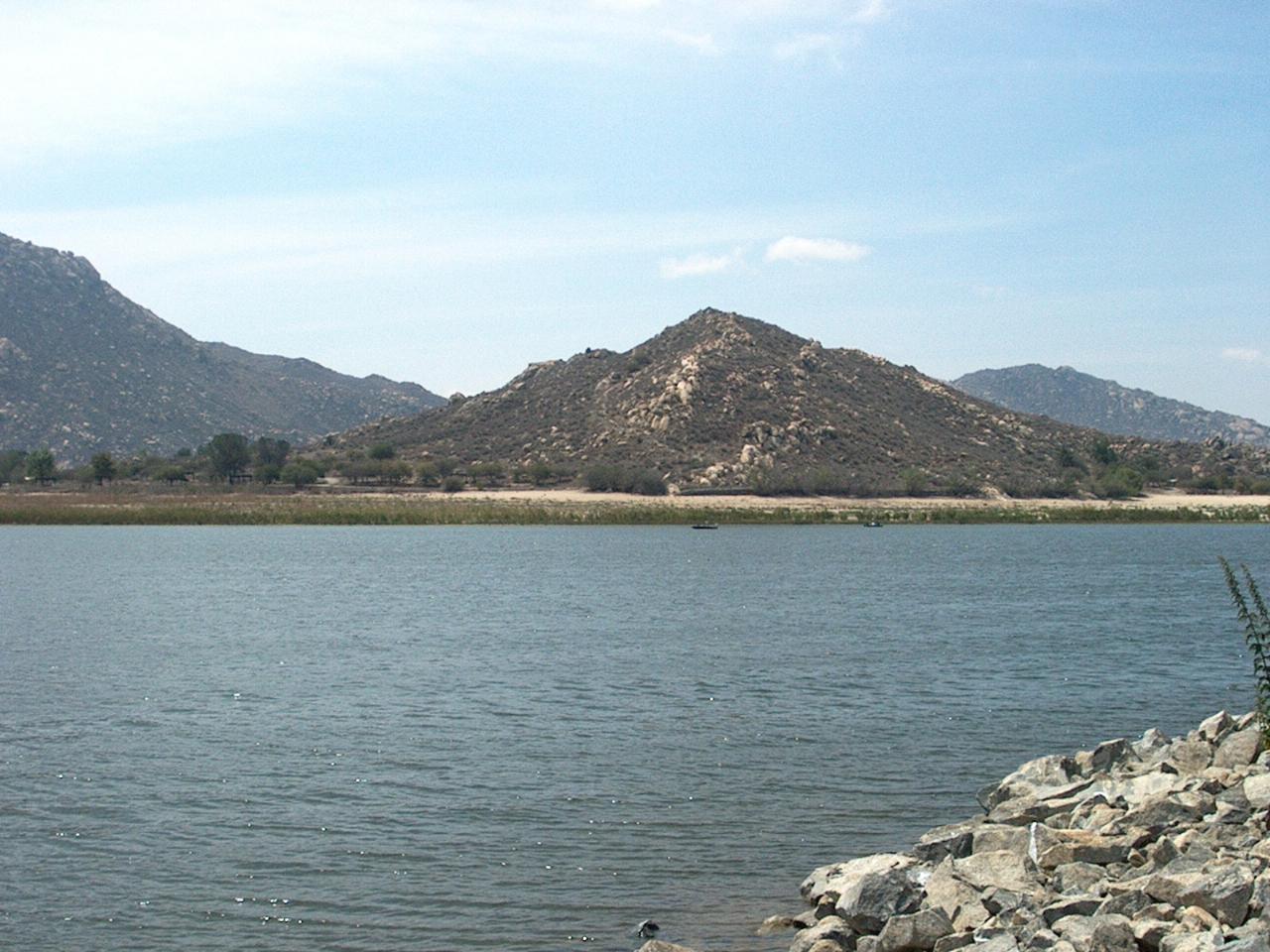
Lake Perris sits in the low hills between Moreno Valley and Perris in western Riverside County, at the far end of the California State Water Project. Water that starts in Northern California travels down the East Branch aqueduct and ends here, in a reservoir that has been open to the public since 1973. The state recreation area around it covers more than 8,800 acres, and the lake sits at roughly 1,560 feet with Alessandro Island rising out of the middle and Terri Peak on the skyline.
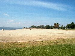
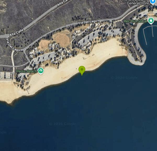
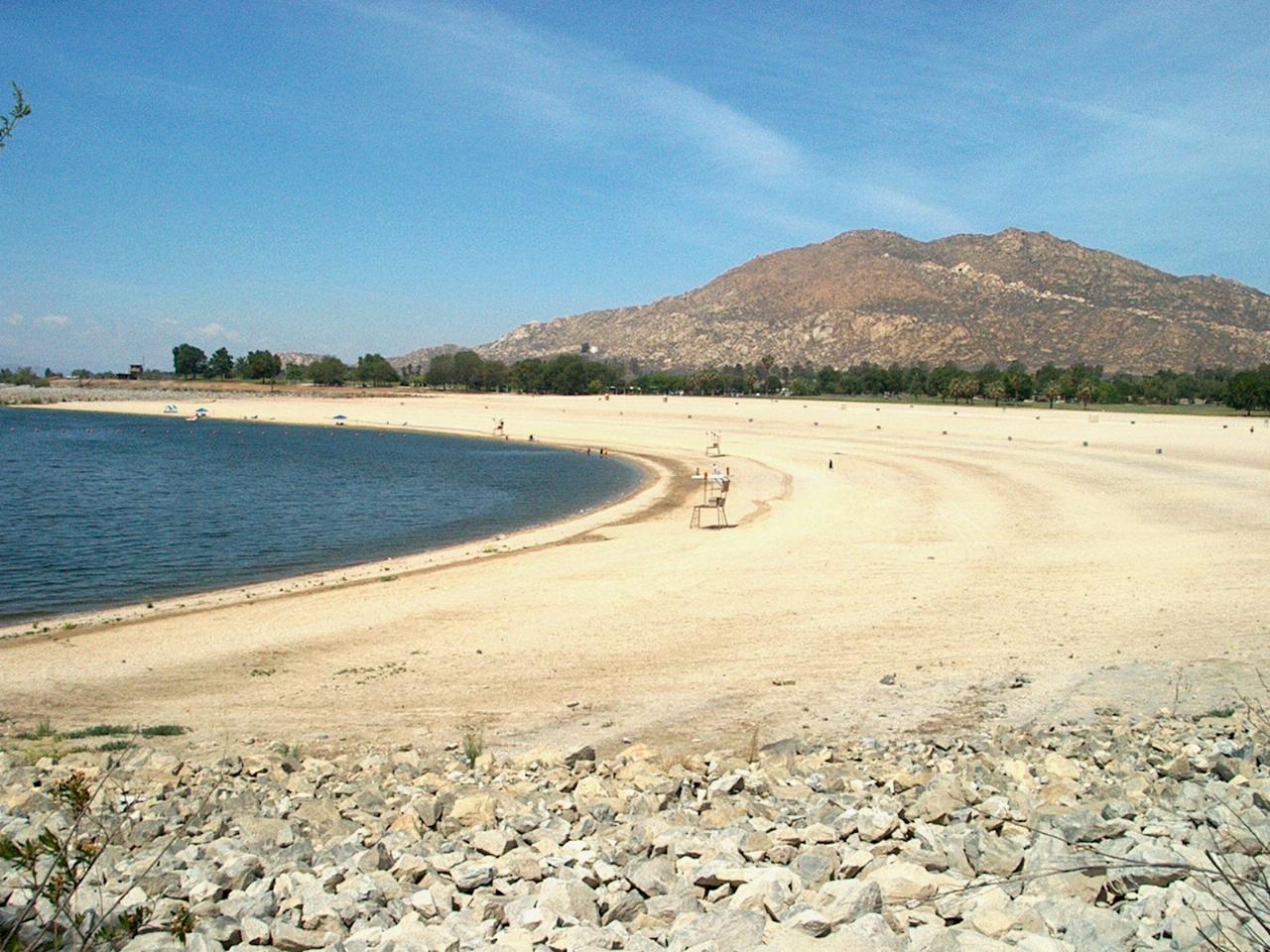
Swimming is allowed only at two designated beaches on the northwest shore, both marked off with buoys. Perris Beach is the larger one and runs along parking lots 1 through 4. Moreno Beach, which the park also calls Moreno Palm Beach, is reached from lots 8, 9 and 10. Both have changing rooms, showers and restrooms close to the sand, and picnic sites sit just behind them. Lifeguards work the beaches from Memorial Day through Labor Day, 10 a.m. to 5 p.m. Outside those hours and on off-season days you swim at your own risk. The park asks swimmers to stay in front of the lifeguard and swim parallel to shore rather than heading out toward open water.
A few rules catch first-time visitors. Pool toys, rafts and other floats that are not Coast Guard approved are not allowed. Boats have to stay at least 50 feet from the swim areas, and on a summer weekend the lake is busy with ski boats and personal watercraft. Because Lake Perris is a drinking water source, dogs are not allowed on the sand or in the water. Alcohol is prohibited in the day-use areas, and drones are not permitted anywhere in the park.
The water averages around 70 degrees, but the level is not fixed. The Department of Water Resources may raise or lower it without notice, and the lake was drawn down about 24 feet starting in 2005 while engineers strengthened Perris Dam against earthquakes on the nearby San Jacinto Fault. That work finished in 2018 and the reservoir was refilled by 2019. Toxic algae has been the other recurring issue. Moreno Beach closed in May 2019 under a danger advisory, and advisories were posted again in 2022 and early 2023. No bloom reports have been logged here since 2024, and the park's Lake Conditions page and the state's HAB map are the places to check before a visit.
Summer is crowded. Parking lots can fill by 11 a.m., and the park closes the gates temporarily when lots are full. Beach space is first come, first served. Arriving early on a weekend is the difference between a spot on the sand and waiting at the kiosk. The day-use fee is $10 per vehicle, rising to $20 on summer weekends and holidays, with a small senior discount. The main entrance is at 17801 Lake Perris Drive off the Ramona Expressway, and summer hours run 6 a.m. to 10 p.m.
The rest of the park makes a full day easy. A paved loop of about nine miles circles much of the lake for walking and biking, trails climb toward Terri Peak, and the marina rents kayaks and boats. There is a large campground, and the Ya'i Heki' Regional Indian Museum is inside the park. Life jackets matter here even for paddlers close to shore. In December 2025 a father drowned after a kayak capsized near Moreno Beach, and neither he nor his young son was wearing one.
More Information
Lake Conditions | California State Parks
California State Parks
https://www.parks.ca.gov/?page_id=24006Summer Visitation | California State Parks
California State Parks
https://www.parks.ca.gov/?page_id=31629Be courteous, informed, and prepared. Read trailhead guidelines, stay on the trail, and don't feed the wildlife.
Read More
- Plan Ahead and Prepare
- Travel & camp on durable surfaces
- Dispose of waste properly
- Leave what you find
- Minimize campfire impacts
- Respect wildlife
- Be considerate of other visitors
Directions
From Moreno Valley
- Head south on Perris Blvd toward Myers Ave (0.3 mi)
- Turn left onto Eucalyptus Ave (2.0 mi)
- Turn right onto Nason St (2.5 mi)
- Turn left onto Iris Ave (0.8 mi)
- Turn right onto Vía Del LagoToll road(2.7 mi)
- Turn left (0.2 mi)
 Sand beach on the Lake Perris shoreline courtesy of Summit Hopper↗ (CC BY 2.0↗)
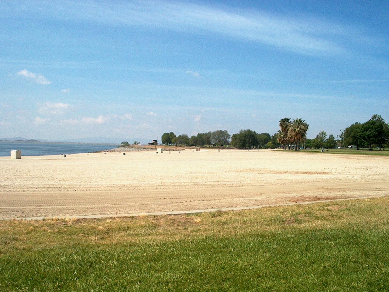
 Aerial view of Lake Perris and the recreation area courtesy of Doc Searls↗ (CC BY 2.0↗)
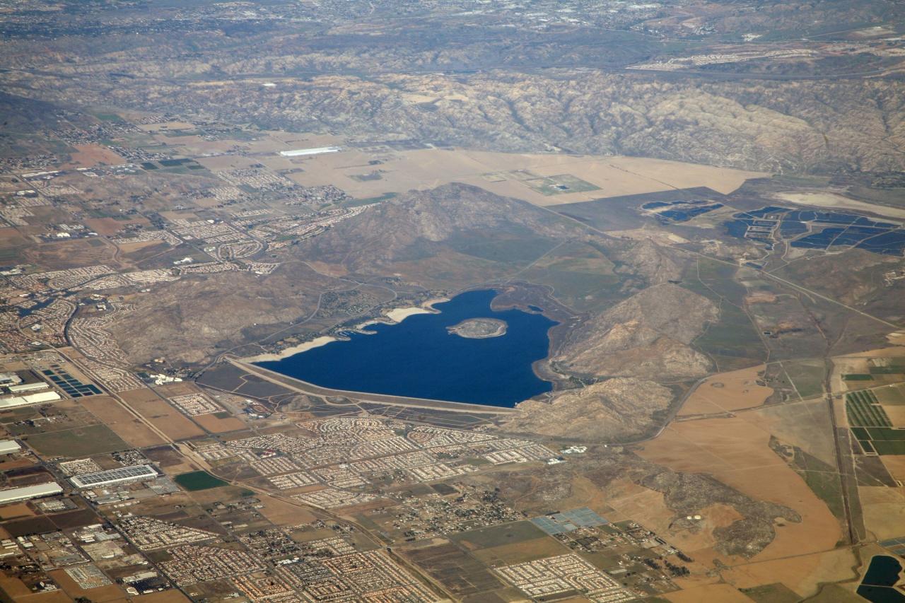
 Beach near Lot 10 on the Moreno Beach side courtesy of Summit Hopper↗ (CC BY 2.0↗)
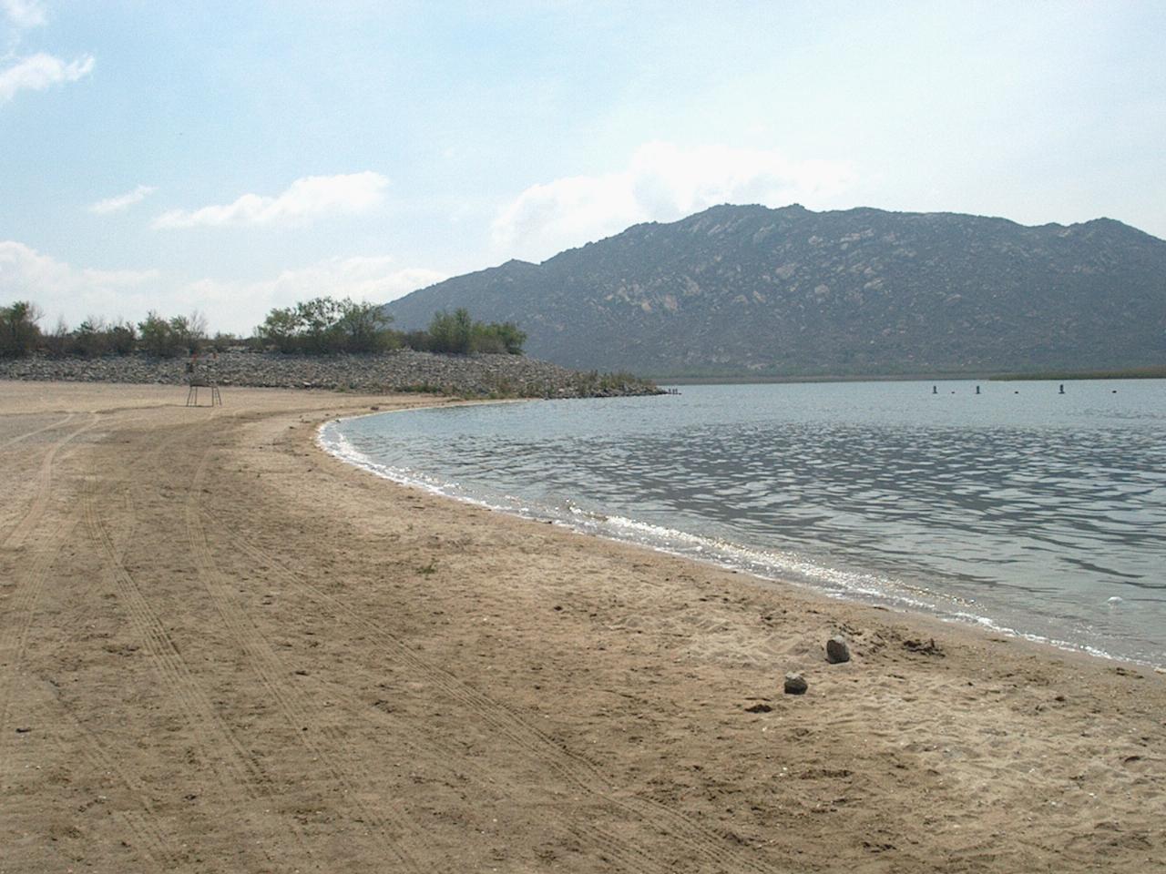
 Looking east across the lake from the beach courtesy of Summit Hopper↗ (CC BY 2.0↗)
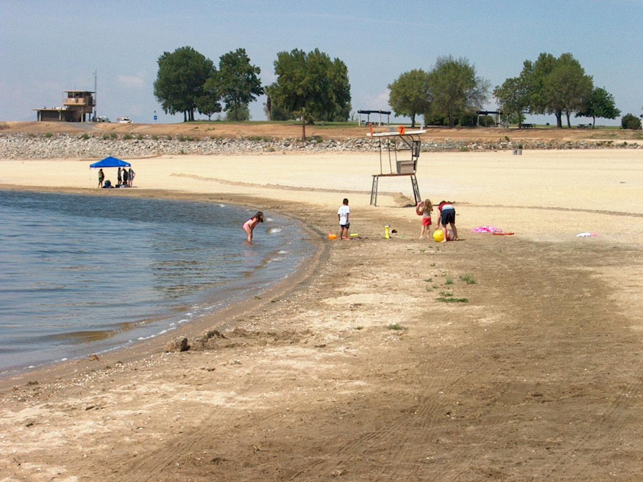
 Kids playing at the water line courtesy of Summit Hopper↗ (CC BY 2.0↗)
 The hill on Alessandro Island in the middle of the lake courtesy of Summit Hopper↗ (CC BY 2.0↗)
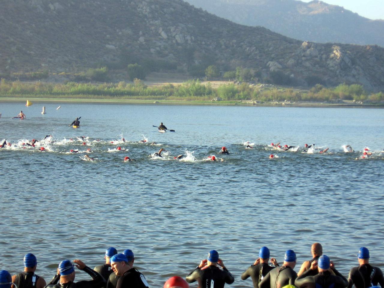
 Big Rock Triathlon swimmers at Lake Perris, April 2009 courtesy of Balikiman↗ (CC BY-SA 3.0↗)
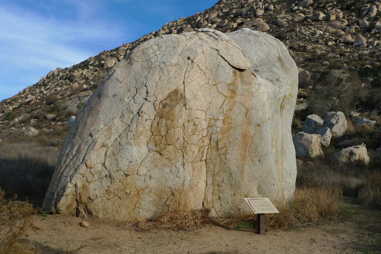
 Pictograph rock in Lake Perris SRA courtesy of Marshall Astor↗ (CC BY-SA 2.0↗)
Other Swimming Holes, Hiking Trails, and Kayaking Areas Nearby
Horse Thief Canyon
Corona, California
17.2 miles SWA hidden off-road playground tucked along the roadside with rocks, trees, and sandpits — a local secret for outdoor fun in the Lake Elsinore/Corona area.
Airsoft, Hike
Vivian Creek Trail
Forest Falls, California
22.6 miles NEThe shortest but steepest route to the Mt. San Gorgonio summit, gaining serious elevation in 1.2 miles to Vivian Creek Camp at 7,100 feet — a Forest Adventure Pass required.
Camp, Hike
Dripping Springs Trail/Agua Tibia Wilderness
Temecula, California
30.2 miles SEA strenuous Agua Tibia Wilderness trail with immediate climbing, long switchbacks, and a high-elevation traverse — best in fall, winter, or spring; carry water and skip summer visits.
Hike
Apple Canyon via Devil's Slide (shuttle hike)
Mountain Center, California
32.8 miles EHike near Mountain Center, California
Hike
Oak Grove/High Point Trail
Warner Springs, California
40.3 miles SEA steep but rewarding trail in the Palomar District near Warner Springs with great views of the San Jacinto and San Gorgonio Mountains and optional 5-mile extension to the High Point Lookout. Bring lots of water.
Hike, Mountain Bike
laguna lake park trail
Fullerton, California
43.2 miles WA level loop trail around a 25-acre natural lake and open hillsides with views of the surrounding Morros in this 450-acre Fullerton park with deep Chumash history.
Hike
Arroyo Pescadero Park
Whittier, California
47.2 miles WAn ADA-accessible interpretive trail and wildlife corridor connecting the Whittier Narrows to Cleveland National Forest through the Puente Hills — featuring decorative artist-designed gates and naturalist-focused signage.
Hike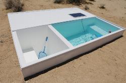
Secret Mojave Social Pool
Lucerne Valley, California
48.4 miles NEA minimalist 5x11-ft pool in the Mojave Desert — an art installation accessible only by obtaining a key from the MAK Center in West Hollywood; bring a gallon of water to replenish it.
Swim


