


5 Hiking Trails near Running Springs, CA
first prev 1 next lastShowing Hiking Trails within 50 miles Distance miles of Running Springs, CA, USA City, Zip, or Address
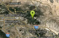
Vivian Creek Trail
Forest Falls, California
15.1 miles SEThe shortest but steepest route to the Mt. San Gorgonio summit, gaining serious elevation in 1.2 miles to Vivian Creek Camp at 7,100 feet — a Forest Adventure Pass required.
Camp, Hike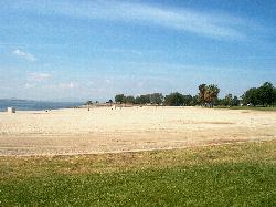
Lake Perris State Recreation Area
Moreno Valley
24.2 miles STwo buoyed, lifeguarded swim beaches on the Lake Perris shore, at the southern end of the State Water Project between Moreno Valley and Perris. Day use is $10 per car, $20 on summer weekends.
Camp, Hike, Kayak, Swim
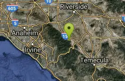
Horse Thief Canyon
Corona, California
38.5 miles SWA hidden off-road playground tucked along the roadside with rocks, trees, and sandpits — a local secret for outdoor fun in the Lake Elsinore/Corona area.
Airsoft, Hike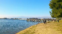
Bonelli Park Swim Beach
San Dimas
40.8 miles WA lifeguarded sand beach with a roped swim area on Puddingstone Lake in LA County's Frank G. Bonelli Regional Park, open Wednesday to Sunday in summer. No swim fee, but cars pay a $15 park entrance fee.
Hike, Kayak, Swim
Apple Canyon via Devil's Slide (shuttle hike)
Mountain Center, California
44.0 miles SEHike near Mountain Center, California
Hike


