


Hocking Hills State Park
Logan, Ohio
Camp, Hike, and Mountain Bike
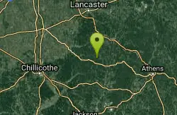
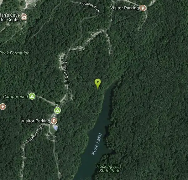
Located in the picturesque sandstone region of Southeastern Ohio, Hocking Hills State Park encompasses some of the most scenic areas in the entire state. Rock outcrops, deep cool gorges, and waterfalls are found throughout the 6 main park areas. The pristine beauty of the area is enhanced by the abundance of wildlife found throughout the Hocking region. Visitors to the park can almost bet they'll see Ohio wildlife such as white tailed deer, wild turkey or even the cumbersome box turtle.
More Information
Hocking Hills State Park - Ohio State Park Guide to Hocking Hills Cabins, Dining, Events. Official T
Hocking Hills State Park - Official Hocking Hills Travel Guide including detailed information, maps, directions, starting points, and images for the 7 major hiking regions of Hocking Hills State Park, Hocking State Forest, Metro Parks, County parks, cabin rentals, dining, area attractions, and special events.
https://thehockinghills.org/Never modify trail features. Ride trails when they're dry enough that you won't leave ruts. Speak up when you see others on the trail and always yield to hikers, horses, and others coming uphill. Always ride on the established trail.
Read MoreBe courteous, informed, and prepared. Read trailhead guidelines, stay on the trail, and don't feed the wildlife.
Read More
- Plan Ahead and Prepare
- Travel & camp on durable surfaces
- Dispose of waste properly
- Leave what you find
- Minimize campfire impacts
- Respect wildlife
- Be considerate of other visitors
Directions
From Logan, Ohio
- Head east on E Main St toward S Mulberry St (56 ft)
- Turn right at the 1st cross street onto S Mulberry St (0.3 mi)
- Turn right to merge onto US-33 W (1.7 mi)
- Take the OH-664 exit toward Logan/Bremen (0.1 mi)
- Keep left at the fork to continue toward OH-664 (0.1 mi)
- At the traffic circle, take the 3rd exit onto OH-664 (0.1 mi)
- At the traffic circle, continue straight to stay on OH-664 (1.5 mi)
- Turn left onto OH-664 S (8.6 mi)
- Turn left toward Buckeye Trail (75 ft)
- Turn right toward Buckeye Trail (420 ft)
- Continue onto Buckeye Trail (0.6 mi)
- Turn left (161 ft)
From Cleveland, Ohio:
Take I-71 South to Columbus.
Take 270 East toward Wheeling, WV to U.S. 33 East (Lancaster Exit)
Travel East to Logan, Exit on 664 South.
From Columbus, Ohio:
Take U.S. 33 East through Lancaster to Logan, Ohio and exit onto State Route 664 South
From Cincinnati, Ohio:
Take I-71 North towards Columbus.
Watch for and take State Route 56 East through Mt. Sterling.
Continue on State Route 56 East through Circleville and Laurelville to South Bloomingville, Ohio.
In South Bloomingville take State Route 664 North approximately 4 miles to the park.
Other Mountain Bike Trails and Hiking Trails Nearby
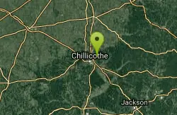
Great Seal State Park
Chillicothe, Ohio
21.4 miles WLung-burning climbs and rip-roarin' descents with more vertical relief than anywhere else in Ohio — expect horse traffic and deep hoofprints on wet days.
Mountain Bike 
Strouds Run State Park Beach (Dow Lake)
Athens, Ohio
27.3 miles E700-foot sand beach on 161-acre Dow Lake at Strouds Run State Park, four miles east of Athens and Ohio University in the wooded hills of southeast Ohio.
Camp, Hike, Kayak, Mountain Bike, Swim 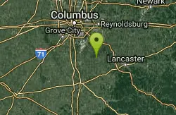
Slate Run Metro Park
Ashville, Ohio
27.4 miles NWSlate Run Metro Park spans grasslands, wetlands, meadows, and beech-oak-hickory forest — home to a rich mix of habitats rooted in 350-million-year-old shale geology.
Hike, Horseback 
Deer Creek State Park
Mount Sterling, Ohio
40.4 miles WA 2,337-acre resort park centered on a 1,700-foot swimming lake with two boat ramps, 232 campsites, 7 miles of trails, an 18-hole golf course, and a full marina with boat rentals.
Camp, Disc Golf, Hike, Mountain Bike, Sled, Swim 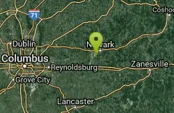
Star Hill
Heath, Ohio
41.3 miles NA mostly singletrack climb up to an underground water tank on the hill in Heath, Ohio — a short, simple local ride.
Mountain Bike 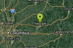
Horns Hill Park
Newark, Ohio
46.0 miles NA free hilltop disc golf course in Newark with white tees all under 300 feet, longer blue tees, a wooded hillside back section, berms, dirt jumps, and DH mountain biking also on site.
Disc Golf, Mountain Bike 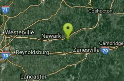
Blackhand Gorge
Heath, Ohio
46.4 miles NA peaceful 4.7-mile paved out-and-back bike trail through Ohio's only Nature Preserve bike path, hugging the Licking River with spectacular scenery and opportunities for kayakers and canoeers.
Mountain Bike 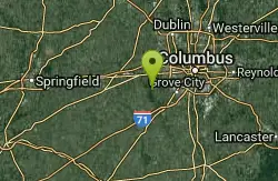
Battelle Darby Creek
Grove City, Ohio
47.6 miles NWThe largest Columbus Metro Park at over 7,000 acres — 20-plus miles of riparian forest along the nationally noted Big and Little Darby Creeks, rich in aquatic and terrestrial diversity.
Cross-country Ski, Hike 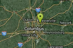
Blendon Woods Metro Park
Westerville, Ohio
48.5 miles NSpectacular stream-cut ravines in a beech-maple forest, a 118-acre waterfowl refuge with spotting scopes, 220 bird species sighted, and over 5 miles of trails to explore.
Cross-country Ski, HikeNearby Campsites
Strouds Run State Park Beach (Dow Lake)
Athens, Ohio
27.3 miles E700-foot sand beach on 161-acre Dow Lake at Strouds Run State Park, four miles east of Athens and Ohio University in the wooded hills of southeast Ohio.
Camp, Hike, Kayak, Mountain Bike, Swim
Deer Creek State Park
Mount Sterling, Ohio
40.4 miles WA 2,337-acre resort park centered on a 1,700-foot swimming lake with two boat ramps, 232 campsites, 7 miles of trails, an 18-hole golf course, and a full marina with boat rentals.
Camp, Disc Golf, Hike, Mountain Bike, Sled, Swim


