


Shoemaker Beach
Bainbridge
Camp, Canoe, Hike, Kayak, and Swim
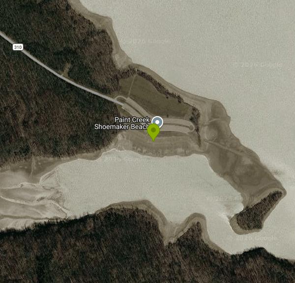
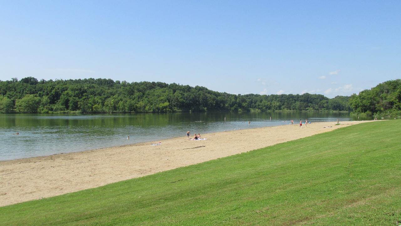
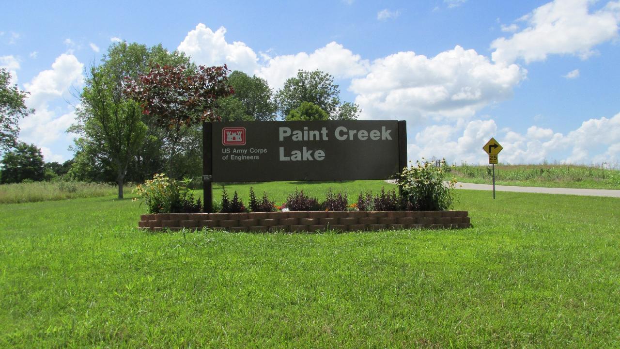
Shoemaker Beach is the designated swimming area on Paint Creek Lake, a 1,148-acre reservoir in southwest Ohio. The U.S. Army Corps of Engineers built and owns the lake as a flood control structure, and Ohio's Division of Parks and Watercraft runs the recreation on top of it as the 5,652-acre Paint Creek State Park. The Corps castle is still on the entrance sign at the main gate. The beach is roughly 1,000 feet of sand along the shore, with a mowed grass bank behind it and a paved lot at the top of the slope, so the walk from the car to the water is short.
Swimming is permitted inside the buoyed area only, and nobody is watching. Ohio State Parks do not staff their beaches, and the state's own guidance is that every one of its beaches is swim at your own risk. Restrooms are portable units put out for the summer and hauled away after, which is the whole sanitary setup here. Dogs are barred from the sand and from the swimming water, even though most of the rest of the park is pet friendly. There is also a separate boat swim area nearby for people arriving by water. Do not confuse the two. The main beach sits apart from it.
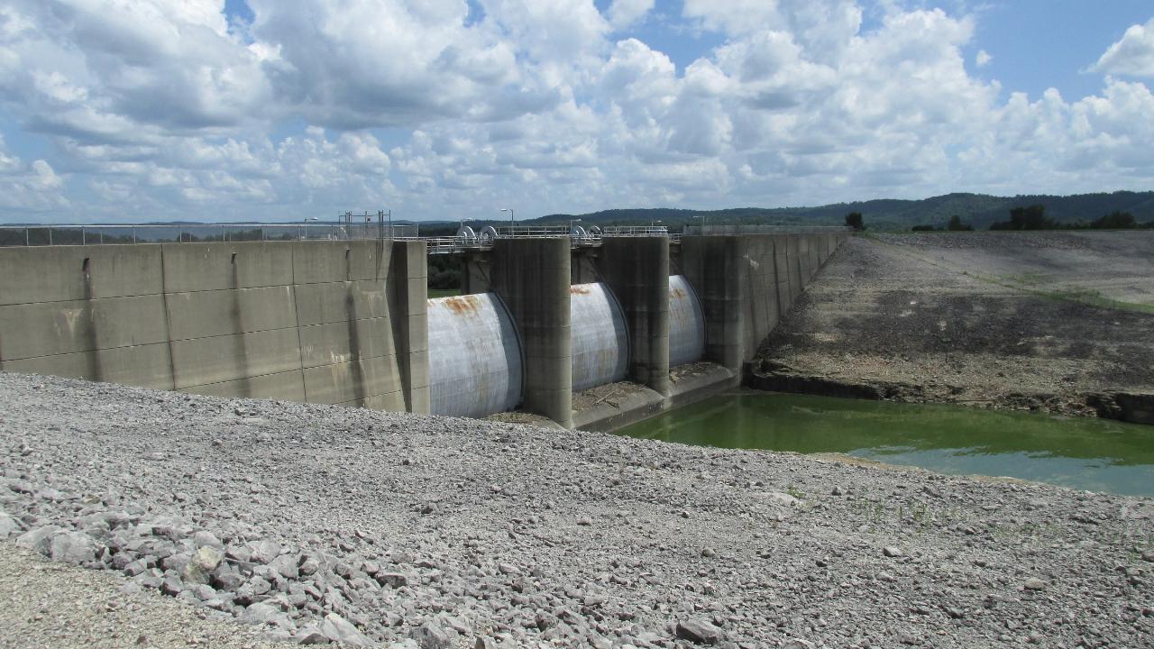
Because the lake is a working flood control reservoir, the pool moves. Heavy rain upstream raises it and clouds the shallows, and ODNR closes ramps when the water gets high. As recently as September 21, 2026 the agency had the Taylor Road and Deer Park Marina ramps shut for flooding. That same behavior is what keeps the lake full enough to swim in through a dry August.
Ohio's Department of Health monitors this spot as beach 217 in its BeachGuard system. Samples go in for E. coli about every two weeks through the season, and the testing tightens if a result clears 235 colony forming units. The 2026 monitored season ran May 23 through September 7. Paint Creek does get flagged from time to time. Bacteria advisories were posted twice in the summer of 2025, in late June and again from mid to late July, and both were lifted within a couple of weeks. BeachGuard is the only live source for any of that, so check it before you drive out.
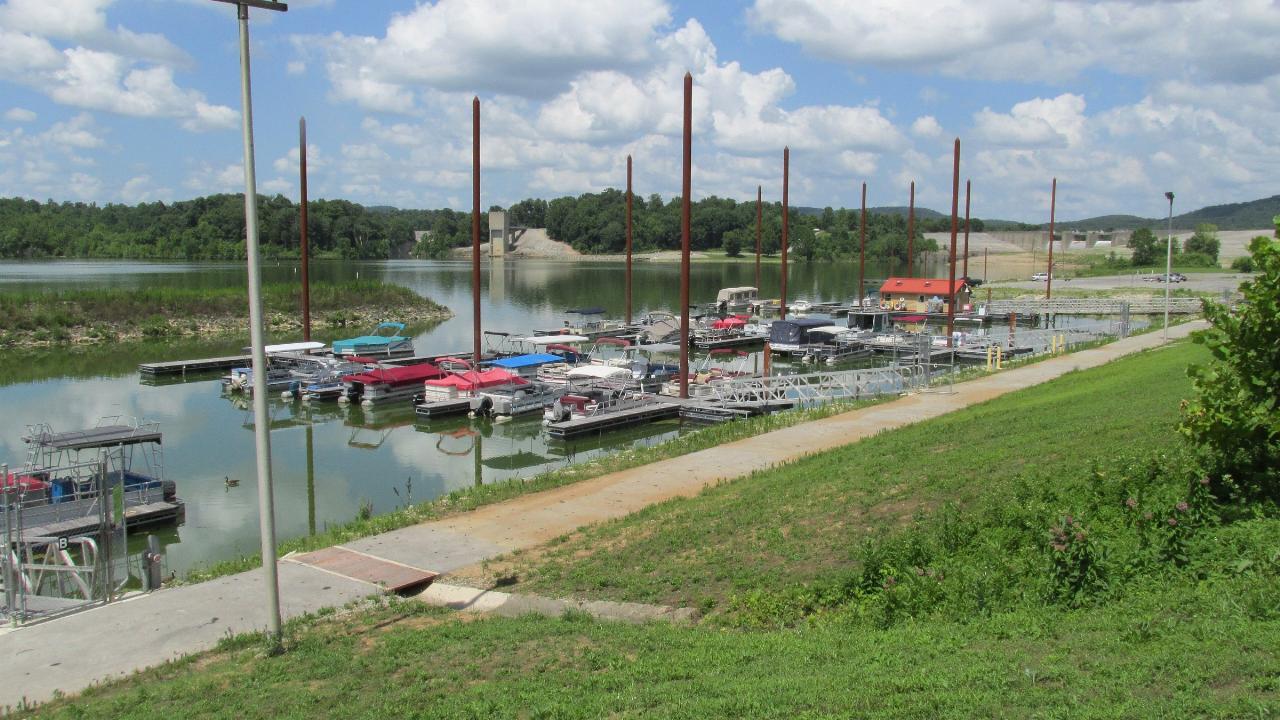
The park is open 6 a.m. to 11 p.m. ODNR lists no day use or beach fee here. The fees it does name are for campsites, boat and dock rental at the marina, and the miniature golf course. Unlimited horsepower boating is allowed on the lake and three ramps feed it, so expect wake and engine noise off the swim area on summer weekends. Paddling is on ODNR's own activity list for the park, and quieter water is easy to find up the arms of the lake, away from the main basin.
Beyond the water there are three hiking trails running from three quarters of a mile to six miles, 25 miles of bridle trail, 12 miles of mountain bike trail, a 21-hole disc golf course with equipment rental at the camp store, and rock climbing allowed on the Harmony Trail and the Spillway Wall. The campground holds close to 200 sites plus two camper cabins, and there is a separate equestrian camp. Anglers pull saugeye, crappie, bluegill, bass and catfish out of the lake. Park office: (937) 393-4284.
More Information
Be courteous, informed, and prepared. Read trailhead guidelines, stay on the trail, and don't feed the wildlife.
Read More
- Plan Ahead and Prepare
- Travel & camp on durable surfaces
- Dispose of waste properly
- Leave what you find
- Minimize campfire impacts
- Respect wildlife
- Be considerate of other visitors
Directions
From Bainbridge
- Head north toward Madison Ave N (253 ft)
- Turn left onto Henshaw Way NE (331 ft)
- Turn right onto Madison Ave N (0.7 mi)
- At the traffic circle, take the 1st exit onto High School Rd NE (0.3 mi)
- Turn right onto WA-305 SParts of this road may be closed at certain times or days(0.8 mi)
- Continue onto Olympic Dr SE (482 ft)
- Keep left to continue on Ferry Dock/
Olympic Dr SE (0.2 mi) - Turn left onto Ferry DockToll road(217 ft)
- Take the Seattle - Bainbridge Ferry to SeattleToll road(8.6 mi)
- Continue straight onto Seattle Ferry TerminalToll road(486 ft)
- Continue straight onto Marion St (0.4 mi)
- Slight right onto 6th Ave (0.3 mi)
- Take the I-5 S ramp on the left to Portland (0.5 mi)
- Slight left to merge onto I-90 E toward Bellevue/
Spokane (1.3 mi) - Keep left to stay on I-90 EEntering Idaho(356 mi)
- Take exit 62 for ID-4 toward I-90BL/
Wallace/ Burke (0.7 mi) - Merge onto I-90 EEntering Montana(465 mi)
- Keep left to continue on I-94 EPassing through North DakotaEntering Minnesota(758 mi)
- Keep right to stay on I-94 E (59.0 mi)
- Keep left to stay on I-94 E (6.8 mi)
- Slight left onto I-694 E (12.9 mi)
- Keep right to stay on I-694 E (10.8 mi)
- Continue onto I-494 S (443 ft)
- Take exit 58B for I-94 E toward Madison (0.3 mi)
- Take the ramp onto I-94 EEntering Wisconsin(248 mi)
- Keep right to continue on I-90 EToll roadEntering Illinois(103 mi)
- Keep left to stay on I-90 EToll road(13.6 mi)
- Take the I-290 E/
IL-53 S exit toward Chicago/ W Suburbs Toll road(1.3 mi) - Continue onto Exit 1B (signs for IL-72/
Higgins Rd) (0.4 mi) - Merge onto I-290 E/
IL-53 S Continue to follow I-290 E(5.1 mi) - Slight right to stay on I-290 E (signs for Chicago) (9.1 mi)
- Take the exit toward I-294 S (0.4 mi)
- Continue onto I-294 SToll road(0.3 mi)
- Take the exit on the left toward I-294 N (0.4 mi)
- Continue onto I-294 NToll road(31.8 mi)
- Continue onto I-80 EEntering Indiana(12.9 mi)
- Take exit 11 to merge onto I-65 S toward Indianapolis (130 mi)
- Continue onto I-865 E (0.3 mi)
- Continue onto I-65 S (16.7 mi)
- Take exit 112 to merge onto I-70 E toward Dayton (5.5 mi)
- Keep left to stay on I-70 E (59.5 mi)
- Slight left (4.3 mi)
- Merge onto I-70 EEntering Ohio(37.2 mi)
- Take exit 33A to merge onto I-75 S toward Dayton (8.8 mi)
- Take exit 52 to merge onto US-35 E toward Xenia (13.2 mi)
- Take the US-35 E exit toward Washington C H (0.4 mi)
- Continue onto US-35 E (34.7 mi)
- Take the OH-41 exit toward Greenfield (0.3 mi)
- Turn right onto OH-41 S/
State Rte 41 S (11.8 mi) - Turn left onto N Washington St (0.6 mi)
- Turn right onto Jefferson St (0.4 mi)
- Turn left onto OH-753 S/
S 7th St (5.7 mi) - Turn left onto Snake Rd (0.2 mi)
- Turn right to stay on Snake Rd (2.2 mi)
- Turn left onto Deer Park Rd (0.8 mi)
- Deer Park Rd turns slightly right and becomes Upp Rd (486 ft)
- Turn left to stay on Upp Rd (1.0 mi)
 The sand beach on Paint Creek Lake, with swimmers out toward the buoy line. courtesy of Aesopposea↗ (CC BY-SA 3.0↗)
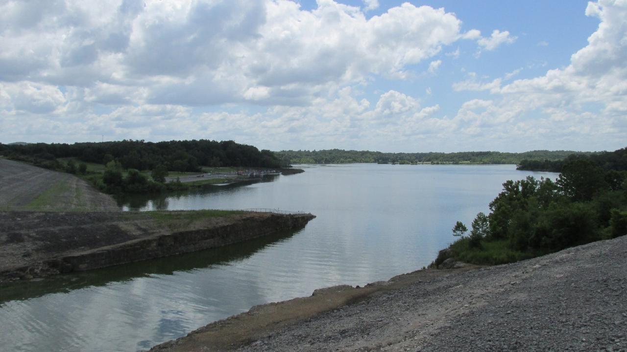
 Paint Creek Lake looking upstream from the dam embankment. courtesy of Aesopposea↗ (CC BY-SA 3.0↗)
 The Army Corps of Engineers entrance sign for Paint Creek Lake. courtesy of Aesopposea↗ (CC BY-SA 3.0↗)
 The marina on Paint Creek Lake, where fuel and dock rentals run seasonally. courtesy of Aesopposea↗ (CC BY-SA 3.0↗)
 The tainter gates at Paint Creek Dam, the flood control structure that forms the lake. courtesy of Aesopposea↗ (CC BY-SA 3.0↗)
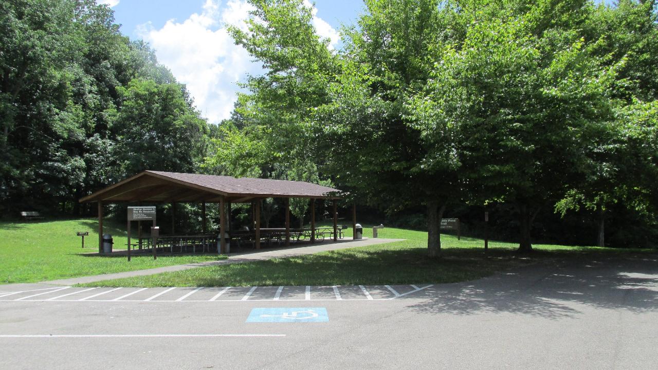
 Picnic shelter and parking at the Little Pond Trail area inside the park. courtesy of Aesopposea↗ (CC BY-SA 3.0↗)
Other Swimming Holes, Hiking Trails, Canoeing Areas, and Kayaking Areas Nearby

Deer Creek State Park
Mount Sterling, Ohio
27.8 miles NA 2,337-acre resort park centered on a 1,700-foot swimming lake with two boat ramps, 232 campsites, 7 miles of trails, an 18-hole golf course, and a full marina with boat rentals.
Camp, Disc Golf, Hike, Mountain Bike, Sled, Swim
Caesar Creek State Park Visitor Center Trail
Waynesville, Ohio
40.4 miles NWA multi-use recreational area at Caesar Creek Lake offering camping, hiking, horseback riding, boating, fossil collecting, and more across 2,830 acres of water and 7,720 acres of land.
Hike
Caesar Creek State Park- Spillway Trail
Waynesville, Ohio
40.4 miles NWForty-three miles of hiking trails ranging from gentle meadows to rugged ravines wind through this 7,900-acre Ohio park centered on a stunning blue lake.
Hike
Little Miami River Area
Bellville, Ohio
42.6 miles NWSwim near Bellville, Ohio
Swim
Sugar Maple Hiking Trail Madison Lake State Park
London, Ohio
43.6 miles NA peaceful half-mile Sugar Maple Hiking Trail winds through woodlands and along the shoreline of small, serene Madison Lake — a quiet Darby Plains escape for anglers, canoeists, and rowers.
Hike
Battelle Darby Creek
Grove City, Ohio
45.4 miles NThe largest Columbus Metro Park at over 7,000 acres — 20-plus miles of riparian forest along the nationally noted Big and Little Darby Creeks, rich in aquatic and terrestrial diversity.
Cross-country Ski, Hike
Slate Run Metro Park
Ashville, Ohio
46.0 miles NESlate Run Metro Park spans grasslands, wetlands, meadows, and beech-oak-hickory forest — home to a rich mix of habitats rooted in 350-million-year-old shale geology.
Hike, Horseback 0.6 mi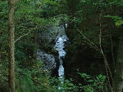
John Bryan State Park
Yellow Springs, Ohio
46.1 miles NWThe most scenic state park in western Ohio — a 752-acre limestone gorge park just one mile from Yellow Springs, with 12.4 miles of mountain biking trails, hiking, rock climbing, and canoeing on the Little Miami River.
Hike, Mountain Bike, Rock Climb
Hocking Hills State Park
Logan, Ohio
46.5 miles ESandstone rock outcrops, deep cool gorges, and waterfalls define six scenic park areas in Hocking Hills, where white-tailed deer, wild turkey, and box turtles are regular sightings.
Camp, Hike, Mountain BikeNearby Campsites
Deer Creek State Park
Mount Sterling, Ohio
27.8 miles NA 2,337-acre resort park centered on a 1,700-foot swimming lake with two boat ramps, 232 campsites, 7 miles of trails, an 18-hole golf course, and a full marina with boat rentals.
Camp, Disc Golf, Hike, Mountain Bike, Sled, Swim
Hocking Hills State Park
Logan, Ohio
46.5 miles ESandstone rock outcrops, deep cool gorges, and waterfalls define six scenic park areas in Hocking Hills, where white-tailed deer, wild turkey, and box turtles are regular sightings.
Camp, Hike, Mountain Bike


