


Kent Falls State Park
Kent, Connecticut
| Address: | Kent Falls State Park, 462 Kent Cornwall Rd, Kent, CT 06757, USA |
| GPS: |
41°46'34.6"N 73°25'4.5"W Maps | Directions |
| State: | Connecticut |
| Trail Length: | 0.25 miles |
| Trail Type: | Out & Back |
| Hike Difficulty: | Intermediate |
Restrooms Picnic Tables Waterfalls Streams Trails Rocks Wildflowers Fishing State Park Lakes Rivers Glaciers Ponds Paintball Permitted Pet Friendly Skateboarding Bicycles Motorized Use National Park
Hike
Per the CT Dept of Energy and Environmental Protection: When the parking lot has reached capacity, the park is closed. It will reopen when the lot has 10 available spaces. Please note that there is no alternative parking and the park may be closed for several hours once full. The parking lot gets full fairly quickly on weekends.
Fees are collected until 6pm on weekends and holidays during the summer season. This location is free on weekdays.
More Information
Kent Falls - Connecticut
Overview of Kent Falls. Description, photos, trail info, and directions.
https://www.newenglandwaterfalls.com/ct-kentfalls.htmlKent Falls State Park
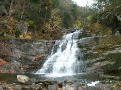
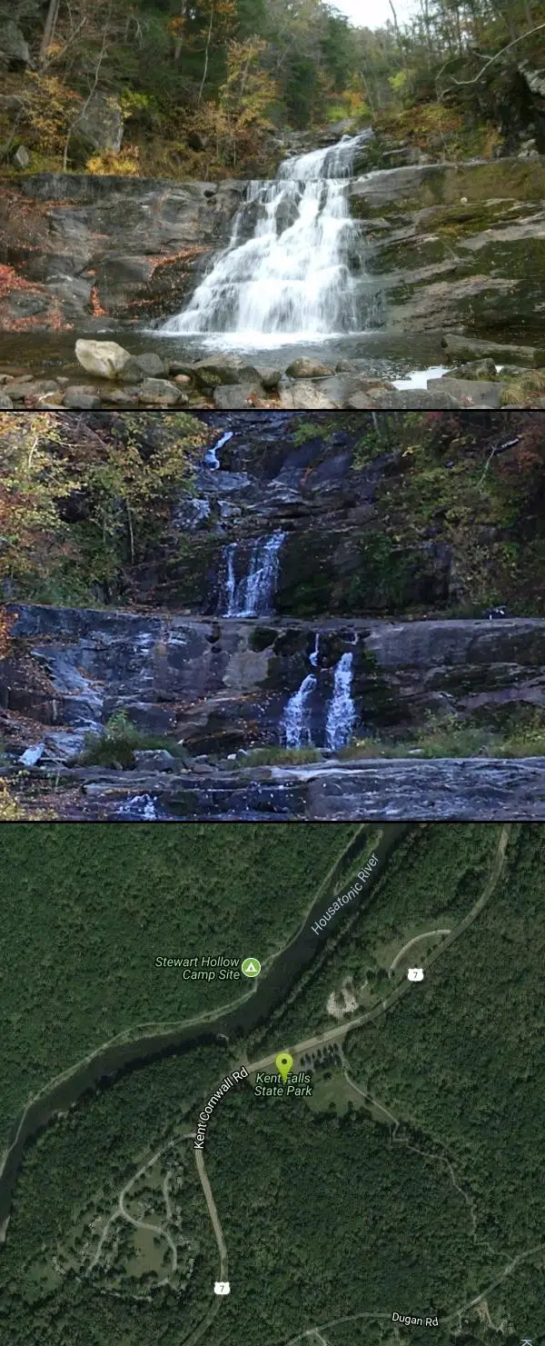
Wander across the covered bridge, hike the falls, and feel the mist on your face as water cascades 250 feet down on its way to the Housatonic River. From its headwaters in Warren, the water flows west to the big fall where it plunges approximately 70 feet in a dramatic cascade before tumbling down in a series of falls to the Housatonic River.
https://ctparks.com/parks/kent-falls-state-parkKent Falls State Park | Connecticut State Parks and Forests
Wander across the covered bridge, hike the falls, and feel the mist on your face as water cascades 250 feet down on its way to the Housatonic River. From its headwaters in Warren, the water flows west to the big fall where it plunges approximately 70 feet in a dramatic cascade before tumbling down in a series of falls to the Housatonic River.
https://www.ctvisit.com/listings/kent-falls-state-parkBe courteous, informed, and prepared. Read trailhead guidelines, stay on the trail, and don't feed the wildlife.
Read More
- Plan Ahead and Prepare
- Travel & camp on durable surfaces
- Dispose of waste properly
- Leave what you find
- Minimize campfire impacts
- Respect wildlife
- Be considerate of other visitors
Directions
From Kent, Connecticut
- Head north on US-7 N toward Fulling Ln (5.1 mi)
- Turn right (174 ft)
- Turn right (43 ft)
limited on-site parking maintained by the CT Dept of Energy and Environmental Protection.


Added by joetetreault
Other Hiking Trails Nearby
Mohawk Mountain State Park
Cornwall, Connecticut
7.0 miles NEA 15-mile backcountry route of logging roads and singletrack climbing to the top of Mohawk Mountain, with trail junctions, river sections, and cross-country ski terrain.
Cross-country Ski, Hike, Mountain Bike
Steep Rock
Washington, Connecticut
13.4 miles SA fun mix of 4x4 singletrack, forest trail, and powerline downhills winding from Judd's Bridge to Steep Rock's pinnacle, with great views and a rough but exciting descent.
Hike, Mountain Bike
Metacomet Trail
East Granby, Connecticut
36.8 miles EA 62.7-mile Blue-Blazed trail along Connecticut's Metacomet Ridge — part of the New England National Scenic Trail — open to hikers, backpackers, bikers, horseback riders, and in winter, snowshoers.
Hike, Mountain Bike 0.4 mi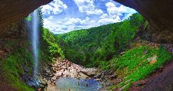
Kaaterskill Fall
Hunter, New York
43.8 miles NWKaaterskill Falls is one of the most storied waterfalls in the eastern United States — a spectacular two-tiered cascade in New York's Catskill Mountains near Hunter that plunges roughly 260...
Hike, Swim
Windsor Locks Canal Trail
Suffield, Connecticut
44.2 miles EA 4.5-mile towpath trail along a 170-year-old historic canal with scenic vistas of both the Connecticut River and the old waterway itself.
Hike, Mountain Bike 0.3 mi
Stony Kill Falls
Kerhonkson, New York
45.7 miles WAn 87-foot wispy waterfall hidden in the Shawangunk rocks, with a scenic 1.5-mile hike, pool for wading, colorful cliff textures, and brilliant fall foliage — swimming at your own risk.
Hike, Swim


