


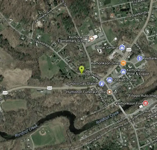
Kerhonkson Area
Saugerties, New York
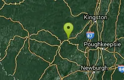
| GPS: |
41°46'30.7"N 74°18'1.8"W Maps | Directions |
| State: | New York |
Swim
More Information
- Plan Ahead and Prepare
- Travel & camp on durable surfaces
- Dispose of waste properly
- Leave what you find
- Minimize campfire impacts
- Respect wildlife
- Be considerate of other visitors
Directions
From Saugerties, New York
- Head west on Main St toward James St (322 ft)
- Turn right onto Market St (459 ft)
- Continue onto NY-212 W/NY-32 N/Ulster AveContinue to follow NY-212 W/NY-32 N(1.1 mi)
- Turn right onto NY-32 N (0.2 mi)
- Turn right to merge onto I-87 SToll road(9.9 mi)
- Take exit 19 toward NY-28/Kingston/Rhinecliff BridgeToll road(0.8 mi)
- Slight right toward NY-28 WToll road(476 ft)
- Slight right onto NY-28 W (0.5 mi)
- Merge onto US-209 S via the ramp to Ellenville (19.9 mi)
- Turn right onto Clay Hill RdDestination will be on the left(0.1 mi)
Other Swimming Holes Nearby

Ellenville Holes (Sandbury and Rondout Creek)
Kerhonkson, New York
1.6 miles EAlong Route 209, between Ellenville and Kerhonkson, several swimming holes can be found on Sandburg and Rondout Creeks. Some of these swimming holes can be seen from the road while others are tucked...
Swim 0.3 mi
Stony Kill Falls
Kerhonkson, New York
3.3 miles SStony Kill Falls is a unique and hidden waterfall in the Shawangunks. Known mostly to locals this uncrowded area is the perfect place to visit to reconnect with nature. The hike to the...
Hike, Swim
Washing Machine
Wawarsing, New York
3.3 miles WWashing Machine, or Varnooy Kill Falls, received its nickname from the shape of the falls. This short wide falls feeding the round wide pool looks like a washing machine during the filling portion of...
Swim
Lake Minnewaska
Kerhonkson, New York
4.7 miles SELake Minnewaska is a beautiful family friendly place to swim in the summer months. With views of a stunning forest and towering white rock formations mirrored in the lake, the beautiful view makes...
Swim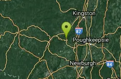
Minnewaska Area
Saugerties, New York
5.7 miles ESwim near Saugerties, New York
Swim
Split Rock Hole
Gardiner, New York
5.7 miles ESplit Rock Hole is a unique swimming hole in the Mohonk Preserve. The beautiful landscape and variety in depth make this the perfect adventure for explorers of any age. Split Rock Hole gets...
Swim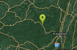
Phoenicia Area
Copake Falls, New York
21.1 miles NSwim near Copake Falls, New York
Swim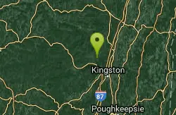
Woodstock Area
Diamond Point, New York
21.2 miles NESwim near Diamond Point, New York
Swim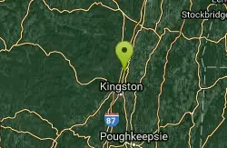
Glenerie
Saugerties, New York
23.8 miles NESwim near Saugerties, New York
Swim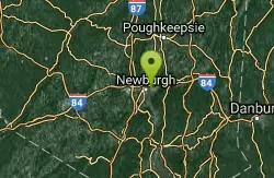
River Pool At Beacon
Beacon, New York
24.6 miles SESwim near Beacon, New York
Swim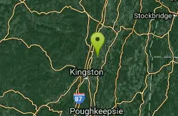
Red Hook Area
Utica-Rome, NY, New York
27.4 miles NESwim near Utica-Rome, NY, New York
Swim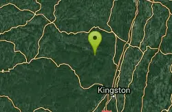
Litner Rock
Elka Park, New York
28.2 miles NSwim near Elka Park, New York
Swim 0.4 mi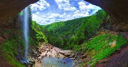
Kaaterskill Fall
Hunter, New York
31.3 miles NEHike and Swim near Hunter, New York
Hike, Swim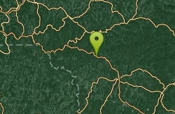
Roscoe Area
Rock Stream, New York
33.4 miles WSwim near Rock Stream, New York
Swim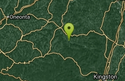
Mosquito Point
Ravena, New York
33.9 miles NSwim near Ravena, New York
Swim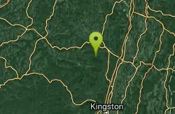
Durham Area
Croton-on-Hudson, New York
34.9 miles NSwim near Croton-on-Hudson, New York
Swim
Surprise Lake
West Milford, New Jersey
40.8 miles SSwim near West Milford, New Jersey
Swim
Milford Area
Greencastle, Pennsylvania
41.3 miles SWSwim near Greencastle, Pennsylvania
Swim
Salmon River
Salisbury, Connecticut
46.1 miles ESwim near Salisbury, Connecticut
Swim
Riga Falls
Salisbury, Connecticut
46.1 miles ESwim near Salisbury, Connecticut
Swim


