


Letts Lake
Stonyford
Camp, Canoe, Hike, Kayak, and Swim
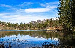
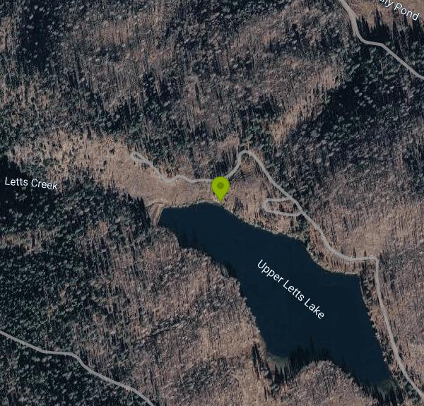
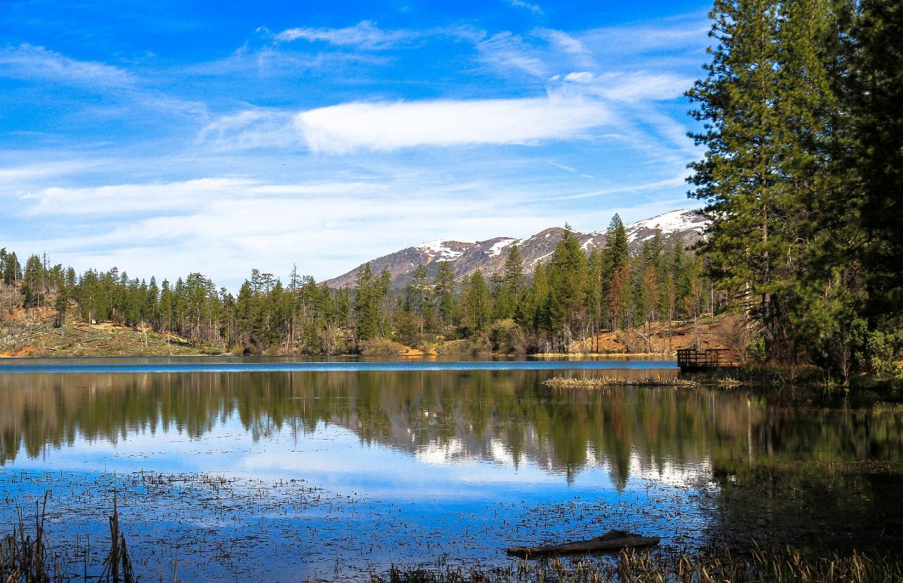
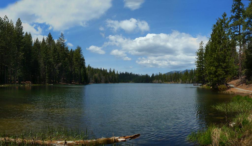
Letts Lake (named Upper Letts Lake on federal maps and on the Forest Service's dam repair records) is a 35-acre reservoir in the Mendocino National Forest, managed by the Grindstone Ranger District as part of the Stonyford Recreation Area. It sits at roughly 4,500 feet in western Colusa County, ringed by ponderosa pine and mixed conifer, with views of higher ridges that often hold snow into spring. The Forest Service lists swimming, trout fishing and non-motorized boating as the main uses of the lake.
The lake is about 19 miles west of Stonyford by Forest Road M10. Letts Lake Campground wraps around the north and east shores in four loops (Main Letts, Saddle Camp, Spillway and Stirrup), and its roads handle trailers up to 30 feet. Day visitors can also use Big Springs Picnic Ground across the water, reached by a side road about a quarter mile past the Letts Lake turnoff. Parking there is limited, and there is a separate small lot by the fishing pier on the east shore.
The usual place to get in the water is the small beach on the north shore, reached by a short paved spur off the campground's north road between the Stirrup and Spillway loops. Because motors are banned, the only boats you'll share the lake with are canoes, kayaks and float tubes. There are no lifeguards. The Forest Service doesn't publish depth or water temperature figures, but at this elevation expect the water to stay cool into early summer. Grass and reeds line much of the shore, so the beach and the trail edges are the easiest places to wade in.
Swimming and day use are free. Big Springs Picnic Ground charges no fee and is open 6 a.m. to 10 p.m. It has vault toilets and picnic tables but no drinking water. Camping costs $12 per night from Memorial Day to Labor Day and $6 per night off-season. All 42 sites are first-come, first-served, paid at the kiosk or with the Recreation.gov Scan and Pay app. Check-in is 2 p.m., check-out 11 a.m., and quiet hours run 10 p.m. to 6 a.m. Drinking water is only turned on from May through September, and trash pickup is summer-only.
Check road conditions before you go. Forest Road M10 between Fouts Springs and the Letts Lake turnoff has had weekday closures for slide repair, so look at the Mendocino National Forest alerts page first. The basin burned in the 2018 Ranch Fire. The Forest Service has since repaired the damaged dam and reforested around the campground, but it still warns of downed trees, dropped limbs and stump holes, and asks visitors not to park under dead standing trees. Water and trash service end in late September, when the campground's back loop also closes. The day use area and front loop stay open through winter when snow allows. For current conditions, call the Stonyford Work Center at 530-963-3128.
The one-mile Letts Lake Loop Trail (the Basil 'Doc' Raines Memorial Foot Trail) circles the shore, with a paved, accessible section on the east side leading to a fully accessible fishing pier. The lake is stocked with trout and also holds bass. Anglers 16 and older need a California fishing license. Mill Valley Campground is a mile away, the area's OHV trail network starts nearby (riding is not allowed in the campground itself), and trailheads into the Snow Mountain Wilderness are a short drive away.
More Information
Letts Lake Campground, Mendocino National Forest - Recreation.gov
Explore Letts Lake Campground in Mendocino National Forest, California with Recreation.gov. This location is available on a first-come, first-served basis only. Visitors are required to physically arrive at the campground to purchase and claim a site.
https://www.recreation.gov/camping/campgrounds/10221652Mendocino National Forest | Big Springs Picnic | Forest Service
Across the lake from Letts Lake Campground.
https://www.fs.usda.gov/r05/mendocino/recreation/big-springs-picnicMendocino National Forest | Fishing | Forest Service
The Mendocino National Forest supports an extensive resident trout fishery as well as anadromous and warm-water fisheries. Rainbow trout are found in over 300 miles of streams and 2,000 acres of lakes and ponds.
https://www.fs.usda.gov/r05/mendocino/recreation/opportunities/fishingMendocino National Forest | Letts Lake Campground | Forest Service
Large campground split into 4 different loops; Main Letts, Saddle Camp, Spillway, & Stirrup. There are 42 campsites, each equipped with picnic tables and fire rings. The main feature of the area is a 35-acre lake for non-motorized vessels, trout fishing and swimming. A one-mile trail leads along the lake shore. There are accessible restrooms and a popular fully-accessible fishing pier.
https://www.fs.usda.gov/r05/mendocino/recreation/letts-lake-campgroundMendocino National Forest | M10 Road Status - closure in place Mondays-Fridays | Forest Service
The M10 Road is CLOSED Monday-Friday due to construction between Fouts Springs and the turnoff to Letts Lake. It is not safe to drive through the construction zone. The road will be open on weekends from Friday 4pm until Monday 6am. The M10 road is an active construction zone to repair a major slide, located above Fouts Springs near Dixie Glade. Depending on construction progress, there can be periods where the road is impassable, closed for construction, has traffic control stops, or is passable in high clearance vehicles.
https://www.fs.usda.gov/r05/mendocino/alerts/m10-road-status-closure-place-mondays-fridaysMendocino National Forest | Mill Valley Campground | Forest Service
Mill Valley Campground has 15 campsites, equipped with picnic tables and fire rings. The campground is one mile north of Letts Lake. There is an OHV trail leading in and out of the campground.
https://www.fs.usda.gov/r05/mendocino/recreation/mill-valley-campgroundMendocino National Forest | Project Summary (#62783) | Forest Service
The Forest Service proposes to repair the Upper Letts Lake Dam that was found to be structurally compromised after the 2018 Ranch Fire. Lake will be drawn down to existing coffer dam and Dam embankment, outlet, spillway, and stilling basin repaired.
https://www.fs.usda.gov/r05/mendocino/projects/62783Mendocino National Forest | Project Summary (#63290) | Forest Service
The Forest Service proposes site preparation and reforestation in the area of Letts Lake and Mill Valley campgrounds.
https://www.fs.usda.gov/r05/mendocino/projects/63290Be courteous, informed, and prepared. Read trailhead guidelines, stay on the trail, and don't feed the wildlife.
Read More
- Plan Ahead and Prepare
- Travel & camp on durable surfaces
- Dispose of waste properly
- Leave what you find
- Minimize campfire impacts
- Respect wildlife
- Be considerate of other visitors
Directions
From Stonyford
- Head northwest on Market St toward 2nd St (0.3 mi)
- Turn left onto Fouts Springs Rd (6.0 mi)
- Turn right onto Forest Rte 18N01/
Fouts Springs Rd (2.9 mi) - Turn right (0.5 mi)
- Slight right (2.2 mi)
- Turn left (1.9 mi)
- Sharp left onto Forest Rte 17N02 (1.6 mi)
- Turn rightDestination will be on the left(0.7 mi)



Other Swimming Holes, Hiking Trails, Canoeing Areas, and Kayaking Areas Nearby
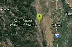
Stony Gorge Reservoir
Elk Creek, California
21.8 miles NESandy beaches against oak-and-chaparral foothills frame this mid-sized low-elevation reservoir, where warm calm water is ideal for waterskiing, jet skiing, and paddling.
Camp, Canoe, Hike, Swim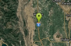
Sacramento National Wildlife Refuge
Willows, California
29.4 miles EPart of a multi-refuge complex in California's Sacramento Valley, this national wildlife refuge offers protected habitat and wildlife viewing in a rich wetland landscape.
Hike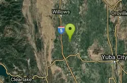
Delevan National Wildlife Refuge
Colusa, California
32.9 miles EA 5,797-acre national wildlife refuge in California's Sacramento Valley with over 4,500 acres of managed wetlands — a major bird habitat 80 miles north of Sacramento.
Hike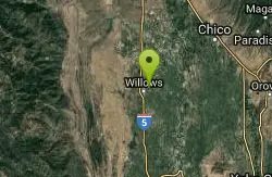
The Gravel Pits
Willows, California
33.1 miles NEA scenic float on the Sacramento River between Redding and Red Bluff with mostly moving class-I water, occasional eddy lines, a few class-II rapids, and fast downstream travel.
Canoe, Hike
Blue Gum Grove
Willows, California
34.0 miles NEA 10-acre nature park in Seal Beach with native shrubs, mature Eucalyptus trees, wildlife, and spring and summer wildflowers — a quiet green escape between two neighborhoods.
Hike
Harbin Hot Springs
Middletown, California
36.2 miles SA well-established, clothing-optional hot spring retreat in Lake County with multiple pools, overnight lodging, a restaurant, workshops, and conference facilities — fees apply.
Camp, Hot Springs, Swim
Colusa National Wildlife Refuge
Colusa, California
36.8 miles EA 4,507-acre wildlife refuge in California's Sacramento Valley that regularly hosts more than 200,000 wintering ducks and 50,000 geese — one of North America's premier waterfowl destinations.
Hike
Dos Rios Swimming Hole
Dos Rios, California
44.0 miles NWDos Rios, Spanish for "two rivers," sits at the wild confluence of the Middle Fork and the mainstem of the Eel River in the remote backcountry of northern Mendocino County, California, roughly east...
Swim
Ord Bend Park
Glenn, California
44.3 miles NEA Glenn County riverfront park with one of the few Sacramento River boat launches in the area — a great spot for picnicking and nature viewing next to the Sacramento National Wildlife Refuge.
Canoe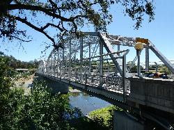
Healdsburg Veterans Memorial Beach
Healdsburg
49.3 miles SA Sonoma County Regional Parks beach on the Russian River where a seasonal flashboard dam, craned onto a foundation in use since 1955, backs the river into a wide swimming lagoon just below the steel truss Memorial Bridge. The boards go in no earlier than
Canoe, Kayak, SwimNearby Campsites
Stony Gorge Reservoir
Elk Creek, California
21.8 miles NESandy beaches against oak-and-chaparral foothills frame this mid-sized low-elevation reservoir, where warm calm water is ideal for waterskiing, jet skiing, and paddling.
Camp, Canoe, Hike, Swim
Harbin Hot Springs
Middletown, California
36.2 miles SA well-established, clothing-optional hot spring retreat in Lake County with multiple pools, overnight lodging, a restaurant, workshops, and conference facilities — fees apply.
Camp, Hot Springs, Swim


