


Round Spring Cave
Eminence, Missouri
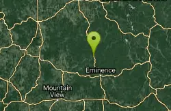
| Address: | Eminence, MO 65466 United States |
| GPS: |
37°16'50.6"N 91°24'50.5"W Maps | Directions |
| State: | Missouri |
Cave
Round Spring Cavern is a deep cave consisting of two known passages. Each passage extends approximately one-half mile into the surrounding hills. Round Spring was opened as a show cave.
More Information
Add Resource
- Plan Ahead and Prepare
- Travel & camp on durable surfaces
- Dispose of waste properly
- Leave what you find
- Minimize campfire impacts
- Respect wildlife
- Be considerate of other visitors
Directions
From Eminence, Missouri
- Head west on Illinois Ave toward Main St (52 ft)
- Turn right at the 1st cross street onto MO-19 N/Main StContinue to follow MO-19 N(12.2 mi)
From US Route 60, you will reach State Route 19 in Winona if you come from the west. You can then take SR 19 north to the northern areas of the park, or continue east to State Route 103 to visit Big Spring near Van Buren.
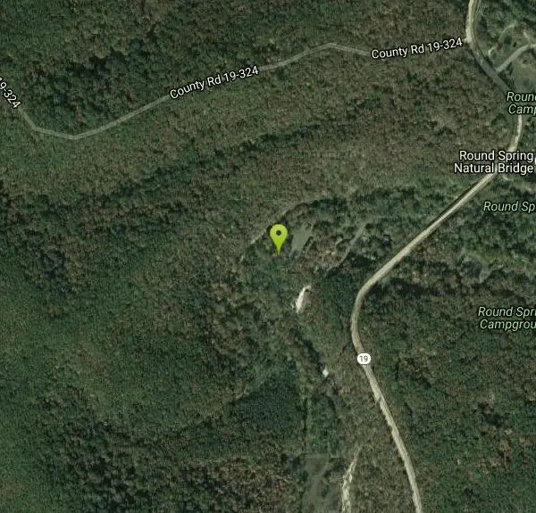
Nearby Campsites
Round Spring Campground
Eminence, Missouri
0.5 miles ETwo of America's most beautiful spring-fed rivers meet in forested Ozark National Scenic Riverways at Round Spring — offering swimming, canoeing, hiking, horseback riding, and wildlife viewing.
Camp, Canoe
Alley Spring Swimming Hole (Jacks Fork)
Eminence, Missouri
9.3 miles SGravel-bar swimming hole on the spring-fed Jacks Fork at Alley Spring in Ozark National Scenic Riverways, a short walk from the campground and the red 1894 Alley Mill.
Camp, Canoe, Hike, Kayak, Swim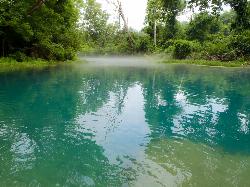
Greer Crossing, Eleven Point River
Alton
34.0 miles SGreer Crossing is the Forest Service access on the Eleven Point River where Highway 19 crosses, ten miles north of Alton. Greer Spring joins just upstream and more than doubles the flow, so the water runs cold, clear and green, day use is free, and campin
Camp, Canoe, Hike, Kayak, Swim
Chapel Hill Beach
Belgrade
41.4 miles NEForest Service sand beach on 440-acre Council Bluff Lake in the Mark Twain National Forest near Belgrade, with a bathhouse and concession stand. Seasonal; day use is $5 per vehicle.
Camp, Canoe, Hike, Kayak, Swim


