


Shotgun Creek Recreation Site
Marcola
Hike and Swim
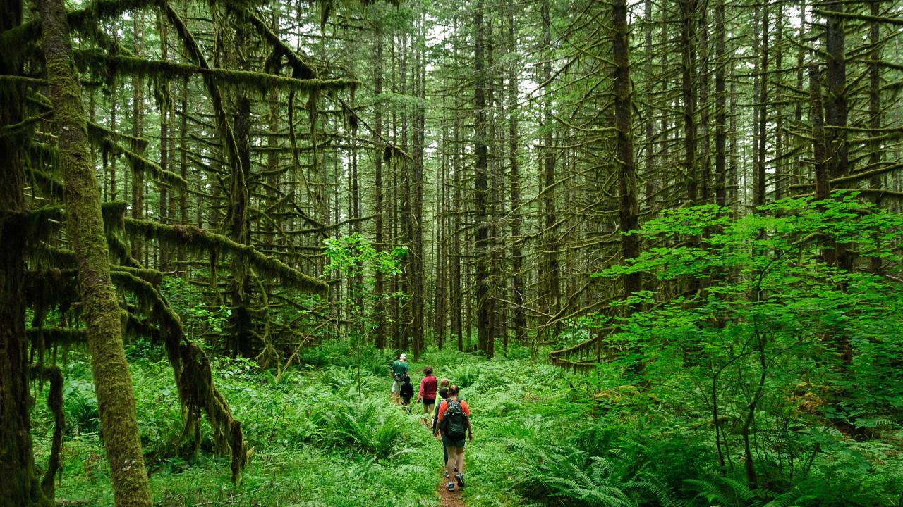
Shotgun Creek Recreation Site is a 277-acre day-use park run by the Bureau of Land Management's Northwest Oregon District along Shotgun Creek, a small forested tributary of the Mohawk River north of Marcola in Lane County. Only about 20 acres are developed, with mowed lawns, a ball field, two reservable group shelters and 23 individual picnic sites. The rest is second-growth Douglas fir and maple forest crossed by roughly 6.4 miles of hiking trail. BLM lists swimming as one of the site's activities and describes a seasonal swimming area on the creek.
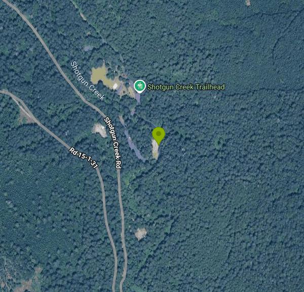
From Springfield, take OR-126 east to the 42nd Street/Marcola exit and follow Marcola Road northeast for about 13.3 miles, through Marcola, to Shotgun Creek Road, the first paved road on the left past the community of Mabel. The entrance is about 1.5 miles up that road on the right (38455 Shotgun Creek Rd.). From the north, leave I-5 at exit 216 on OR-228, turn right on Bush Creek Road just east of Crawfordsville and stay on it for 12.4 miles as it becomes Marcola Road, then turn right onto Shotgun Creek Road. Paved parking lots sit inside the gate next to the picnic loops.
The swimming spot is on the creek itself. BLM's site map marks a beach area on the east bank beside the southern picnic loop, with a removable dam just downstream that was used to back up a pool in summer, and the agency's 2017 business plan describes a seasonal swimming area with a sandy beach. Shotgun Creek is small and shaded, and its flow drops a lot by July and August, so plan on shallow pools and wading water rather than a deep hole. BLM's current pages don't say whether the dam is still put in each season, and some visitor accounts describe the creek as mainly a place for kids to splash. The water stays cold, rocks are slick, and there are no lifeguards.
This is not a free site. BLM charges $5 per vehicle per day, paid at the self-service fee station near the entrance with cash or a check made out to the Bureau of Land Management; the receipt stub goes on the dashboard. The Northwest Oregon District annual day-use pass and Interagency (America the Beautiful) annual and lifetime passes are accepted instead. Group shelter reservations on Recreation.gov ($100 for up to 100 people, $300 for both shelters in peak season) do not cover the vehicle fee. Gate hours are 9 a.m. to 9 p.m. from May 1 through September 30 and 8 a.m. to 4:30 p.m. from October 1 through April 30. It is day use only, with no overnight camping.
Motorized off-road vehicles are not allowed inside the site, even though the 34-mile Shotgun Creek OHV trail system starts just to the north. Campfires are limited to the steel fire rings and grills BLM provides, and summer fire restrictions can shut those down, so check BLM's Oregon fire restriction page before bringing charcoal. Dogs must be on a leash. Summer weekends get busy, and the shelters are often booked for reunions and weddings.
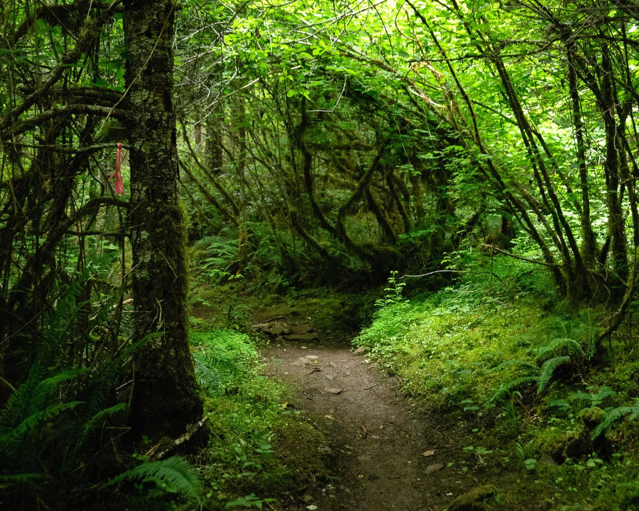
Away from the water there is a playground, a sand volleyball court, horseshoe pits, the ball field, flush restrooms with a changing room, drinking water and a year-round site host. The trail network climbs the slopes on both sides of the creek: the Shotgun Creek Trail Loop (about 2.4 miles), the Tiki Trail Loop (about 1.3 miles) and the B.S.A. Trail (about 2.1 miles) wind through mossy forest and connect into a longer loop that Oregon Hikers rates as easy.
More Information
Shotgun Creek Loop Hike - Oregon Hikers Field Guide
Easy · 4.6 mi · 800 ft gain. Loop hike on forested slopes above Shotgun Creek
https://www.oregonhikers.org/field_guide/Shotgun_Creek_Loop_HikeShotgun Creek Recreation Site - Oregon | Bureau of Land Management
The refreshing location with its lush, forest setting, coupled with comforts normally associated with an urban park, blend seamlessly at this popular day-use site.
https://www.blm.gov/visit/shotgun-creek-recreation-siteShotgun Creek Recreation Site Offers Year Round Access | Bureau of Land Management
Springfield, Ore. – Beginning January 1, 2017, the Bureau of Land Management’s (BLM) Shotgun Creek Recreation Site will offer year round access. Visitors will be able to enjoy the site’s picnic tables and restrooms throughout the year. "With year-round access, the BLM will be able to better meet the ongoing demand at Shotgun," said Bill O’Sullivan, Upper Willamette Field Office Manager. The new hours are listed below: January 1 – March 31Open 8:30 a.m. – 4:30 p.m.April 1 – June 9Open 8:30 a.m. – 4:30 p.m.June 10 – September 17Open 10:00 a.m. – 9:00 p.m.September 18 - October 31Open 8:30 a.m.–
https://www.blm.gov/press-release/shotgun-creek-recreation-site-offers-year-round-accessShotgun Creek Recreation Site, Shotgun Creek Ohv Staging Area - Recreation.gov
Explore Shotgun Creek Recreation Site in Shotgun Creek Ohv Staging Area, Oregon with Recreation.gov. The refreshing location with its lush, forest setting, coupled with comforts normally associated with an urban park, blend seamlessly at this popular day-use si
https://www.recreation.gov/camping/campgrounds/273310Shotgun Creek Trailhead - Oregon Hikers Field Guide
After 4 miles take the 42nd St/Marcola exit and turn left on 42nd Street.
https://www.oregonhikers.org/field_guide/Shotgun_Creek_TrailheadBe courteous, informed, and prepared. Read trailhead guidelines, stay on the trail, and don't feed the wildlife.
Read More
- Plan Ahead and Prepare
- Travel & camp on durable surfaces
- Dispose of waste properly
- Leave what you find
- Minimize campfire impacts
- Respect wildlife
- Be considerate of other visitors
Directions
From Marcola
- Head south on Carson St toward Marcola Rd (381 ft)
- Turn left onto Marcola Rd (3.2 mi)
- Turn left onto Shotgun Creek Rd (1.5 mi)
Other Swimming Holes and Hiking Trails Nearby

Mount Pisgah
Eugene, Oregon
16.7 miles SWA popular summit hike and trail-run destination just outside Eugene, with a 209-acre living tree museum at its base, multiple trail options, and even a pair of swings hanging from oak trees at Swing Hill's high point.
Hike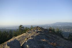
Spencer Butte
Eugene, Oregon
21.0 miles SWEugene's backyard hike through tall Douglas firs and maples to a summit with city views — a family-friendly loop with trails from easy to moderate.
Hike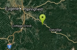
Eagle Rest
Lowell, Oregon
27.8 miles SA historic one-car viewpoint on the Historic Columbia River Highway designed by Samuel Lancaster, now rebuilt as part of a trail — once famous for watching early Bonneville Dam construction.
Canoe, Hike, Mountain Bike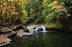
Lake Creek Falls
Blachly
36.5 miles WA three-tier bedrock cascade on Lake Creek half a mile below Triangle Lake, where BLM's free day use area draws summer swimmers to a natural rock slide and plunge pool. No lifeguard, no fee, and a real record of falls off the slick rock.
Hike, Swim
Tamolitch (Blue) Pool
Mount Washington, Oregon
40.8 miles EA turquoise, glass-calm pool in Oregon fed by the McKenzie River emerging from two miles of underground lava fields — stunning for hikers and photographers, and open for cliff jumping at your own extreme caution.
Hike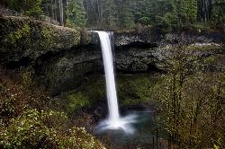
Silver Falls State Park
Sublimity, Oregon
45.8 miles NThe largest state park in Oregon, Silver Falls features 10 spectacular waterfalls along the nationally recognized Trail of Ten Falls — including a walk behind a 177-foot waterfall on a 7.2-mile moderate loop.
Camp, Hike, Horseback, Swim


