


174 Things to do near Idaho Falls Greenbelt
first prev 1 2 3 4 5 6 7 8 9 next lastShowing results within 50 miles Distance miles of 700 Memorial Dr, Idaho Falls, ID 83402, USA City, Zip, or Address

Packsaddle Lake
Tetonia, Idaho
40.0 miles NEPacksaddle is one of the less well known lakes/trails in the area. If you've got a good offroad vehicle, you can probably make it all the way to the end of the road, otherwise, it's just an...
Dive, Hike, Mountain Bike, Snowshoe, Swim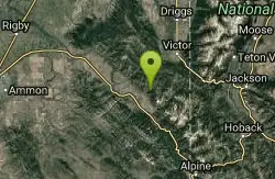
North/South Rainey Creek Trails
Irwin, Idaho
40.1 miles EMotorcycle trail. source: fs.usda.gov
Mountain Bike
Probation And Burg Bumper
Tetonia, Idaho
40.3 miles NEThe Probation part of the trail is the steepest downhill in the area. Has multiple bridges and log jumps in the short mile down. The Burg portion of the trail is uphill with some...
Mountain Bike
Horseshoe Canyon
Tetonia, Idaho
40.6 miles NEHorseshoe Canyon is one of the closest trail systems to the town of Driggs, Idaho. This network doesn't have a ton of climbing or descending, but the smooth, swooping singletrack with a...
Mountain Bike
Bovine
Driggs, Idaho
40.6 miles NEBovine trail is part of a larger system. You can use it to access more trails or make it your end destination from other trailheads. It is a steep climb but returns the favor with a fast downhill....
Mountain Bike
Horseshoe Trails
Driggs, Idaho
40.6 miles NEMountain Bike near Driggs, Idaho
Mountain Bike 1.2 mi
Spooky
Victor, Idaho
40.7 miles ETrail serves as the stem to Red Creek or access to Corral Creek as well as other possibilities in the big hole mountains. Nice fun singletrack to run as an out n back if your time is...
Mountain Bike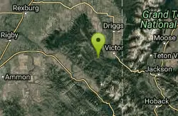
Red Creek Via Spooky Trail
Victor, Idaho
40.7 miles ETrail starts on the Spooky trail segment. About 1.2 up you'll see a trail on your left. This is where you will be coming out at. Continue straight. At about 2.6 from the car you'll...
Mountain Bike

Channel Lock
Driggs, Idaho
41.2 miles NETrail is a little over 1 mile uphill. Recommended route up to access the larger Horseshoe canyon trail system. Makes a nice downhill with twists. Gets its name from the deep ruts made from cows....
Mountain Bike
Southbound
Driggs, Idaho
41.3 miles NETrail starts by going up the Channel lock trail. At the top of Channel Lock go right onto the Southbound trail. Trail will loop back to Channel lock which you take back to your car. Trail is...
Mountain Bike
Sharks Belly
Driggs, Idaho
41.3 miles NETrail system can start from Channel lock or Bovine. Channel Lock is an easier climb than Bovine. This description and mileage starts at the Channel Lock trail, forest service boundary marker. Take...
Mountain Bike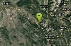
Hunts Corral
Irwin, Idaho
42.1 miles ENon-motorized use only. source: fs.usda.gov
Mountain Bike
Pine Creek Campground
Victor, Idaho
42.1 miles EThe Pine Creek Campground has 10 single units and has restrooms.
Camp 5.6-8.3 mi
Palisades Creek Trail / Lakes and Waterfall Canyon
Irwin, Idaho
42.2 miles EPalisades Creek Trail is located about 50 miles southeast of Idaho Falls and about 60 miles west of Jackson Hole WY in Swan Valley Idaho. The four mile hike up to lower Palisades Lake or the 6.2 mile...
Backpack, Camp, Hike, Horseback, Mountain Bike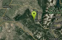
Henderson Canyon
Victor, Idaho
42.7 miles ETrail begins as dirt road/double track with numerous "cow" trails breaking off of road. Some of these trails see more tire tracks than others.
Mountain Bike
Sheep Driveway
Irwin, Idaho
42.9 miles EOHVs, mountain biking, day hiking, horse riding. source: fs.usda.gov
Mountain Bike
Grove Creek to Drake Creek
Victor, Idaho
42.9 miles EGreat loop trail that connects several trails through the area. This trail was recently rerouted, and so will have plenty of new switchbacks to take as riders climb the mountain. Originally this...
Mountain Bike
Twin Bridges
St. Anthony, Idaho
43.0 miles NEThere's an old abandoned bridge next to the one currently in use. The water is pretty deep underneath and offers two distinct levels to jump from. There's a little rope swing under the bridge...
Dive, Swim
Twin Creek Trail
Driggs, Idaho
43.0 miles EThe Twin Creek trail is 2.3 miles long. It begins at Trail 6195 and ends at Trail 6219. source: fs.usda.gov
Mountain Bike
Fall River Bridge
Ashton, Idaho
43.1 miles NERight off Highway 20, there's a great spot to swim, swing, and dive. There's pullouts for parking right next to the bridge. There's a rope swing under the railroad bridge and a little...
Dive, Swim


