


231 Things to do near Javelina Trail
first prev 3 4 5 6 7 8 9 10 11 12 next lastShowing results within 50 miles Distance miles of Javelina Trail, Phoenix, AZ 85042, USA City, Zip, or Address

Westpark Skatepark
Coolidge, Arizona
38.2 miles SECity of Coolidge Rotary skate park
Skateboard 1.4 mi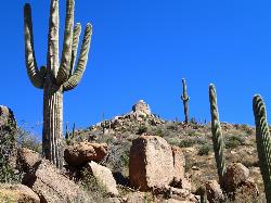
Ballantine Trail
Rio Verde, Arizona
39.1 miles NEthis trail looks a lot better once it moves away from the highway. A somewhat strenuous climb reveals a landscape of knuckle-and-joint, mica-imbedded boulders, deep gorges and a battalion of regal...
Hike
Buckeye Hills Regional Park
Buckeye, Arizona
39.2 miles WBiking is primitive. The park has restrooms but no running water or electricity.
Mountain Bike
Brittlebush Trail
Phoenix, Arizona
40.6 miles SWBrittlebush trail is a flat, 12-mile round trip, out-and-back trail in the heart of the Maricopa Wilderness. It's best used from November - April, and should be avoided in the Summer months...
Hike, Mountain Bike
Casa Grande Mountain
Casa Grande, Arizona
40.7 miles SThere are easy trails by the starting point but they are not the main trail. It climbs the mountain side and heads south along the range. Jumping Cholla is a common plant here and the...
Mountain Bike 3.9 mi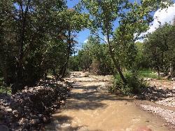
Cave Creek Swimming Hole
Cave Creek, Arizona
41.9 miles NHidden along Cave Creek Trail #4 is a swimming hole deep enough to refresh from the summer heat. It takes almost four miles of hiking in Arizona desert to reach the swimming hole, but the water is...
Hike, Swim
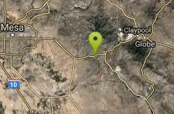
Picket Post
Superior, Arizona
47.3 miles EFrom the parking lot head south as this trail begins to climb, and climb very high into the hills. You don't climb Picket Post mountain but go around it's western side as you climb and...
Mountain Bike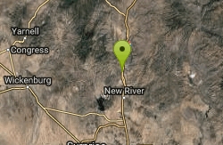
Black Canyon Trail
Black Canyon City, Arizona
47.6 miles NThis discription is for the Table Mesa trail head which has 1.5 miles (N) out on the Black Canyon Trail to the Little Pan Loop. The Little pan loop will take you down to the Agua Fria...
Mountain Bike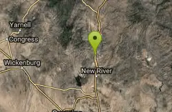
Black Canyon Trail - Little Pan Loop
Black Canyon City, Arizona
47.8 miles NThe Black Canyon National Recreation Trail will be a 79-mile hiking, mountain biking and equestrian trail stretching from the Sonoran Desert lowlands in Phoenix to the high grasslands...
Mountain Bike 5.4 mi
Denton Trail #69
Tonto Basin, Arizona
47.9 miles NEFrom FR 421, the trail climbs steadily up the east face of the mountain. Some sections are quite steep. The trail eventually tops out at 5,760 feet elevation and then descends to Big Pine Flat for...
Hike, Mountain Bike
Sycamore Trail #68
Tonto Basin, Arizona
48.0 miles NEFrom FR 421, the trail climbs steadily through lower Sonoran Desert and riparian vegetation up the arroyo formed by Sycamore Creek. It turns northward and continues to climb along a...
Mountain Bike


